The pleasant tour takes us from Valles to one of the most charming Alpine mountain hut villages of South Tyrol, Malga Fane
Image gallery: Winter hike from Valles to the Fane Alpine village
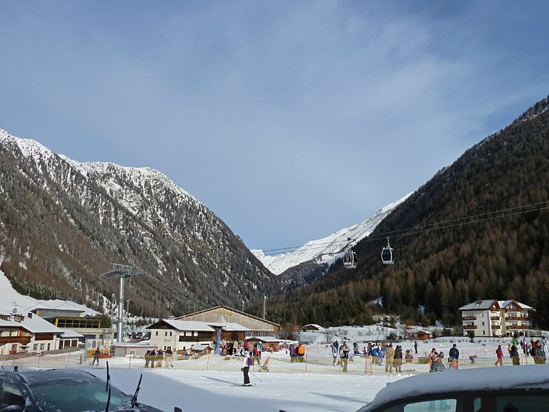
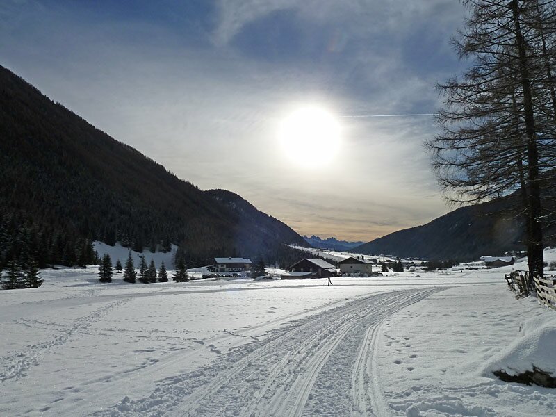
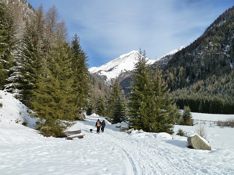
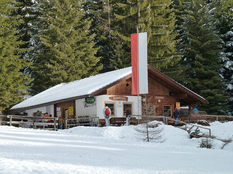
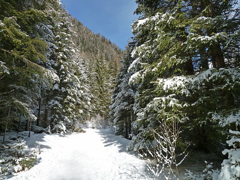
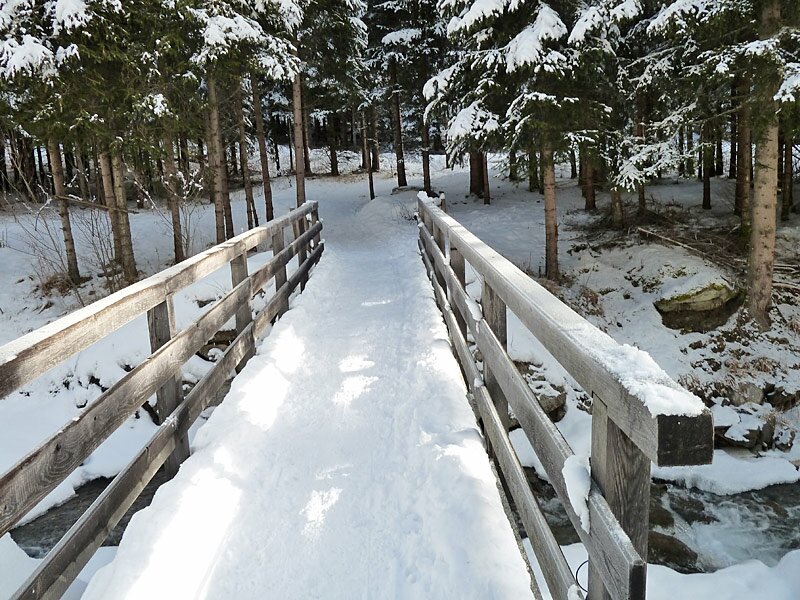
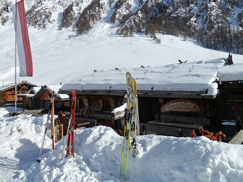
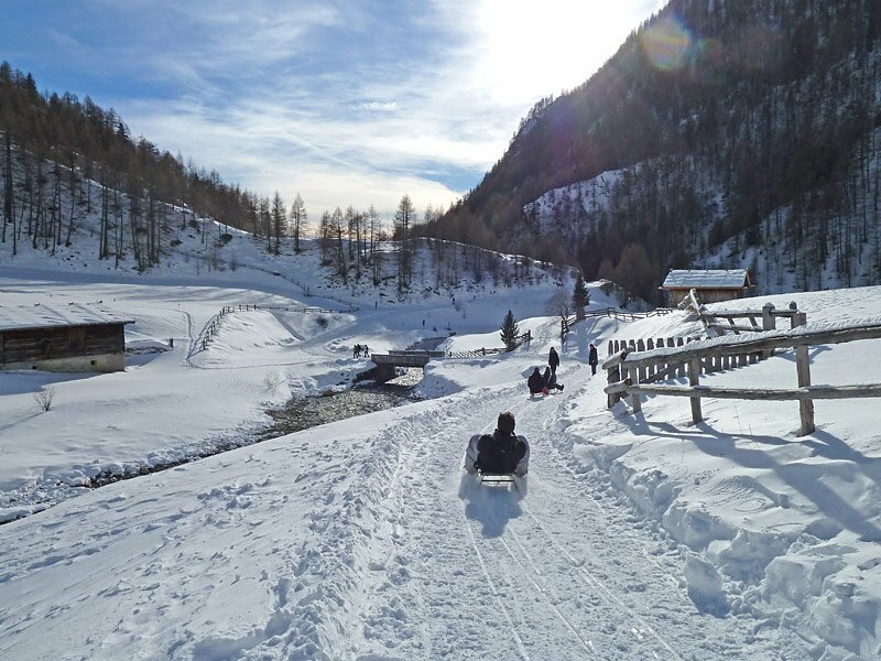


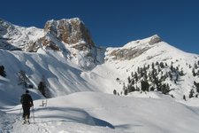
We start from the car park of the Jochtal skiing area near Valles at 1,370 m a.s.l. and enter into the valley by following the path paralleling the cross-country ski tracks until we arrive at the Kurzkofelhütte hut which also provides a sledge rental service. From there we follow the signpost "Milchweg" to Malga Fane. We ascend along the course of the Valler brook through a coniferous forest. The snow from last night covers the trees, creating a wonderful winter landscape.
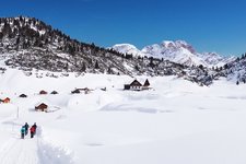
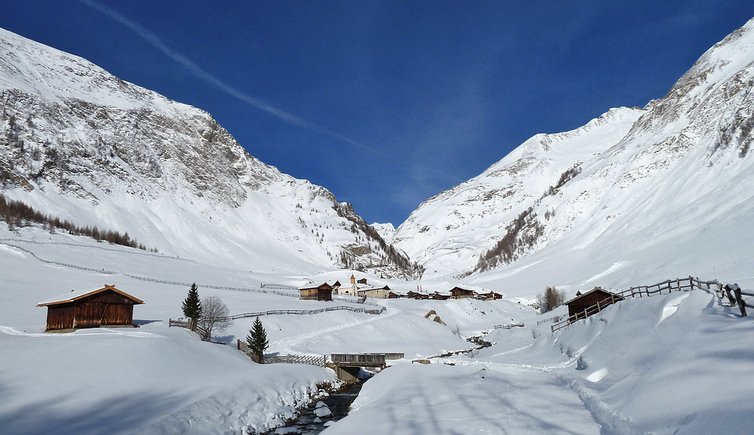
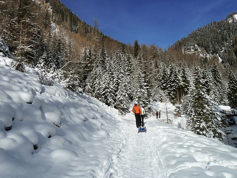
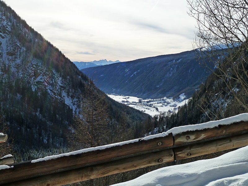
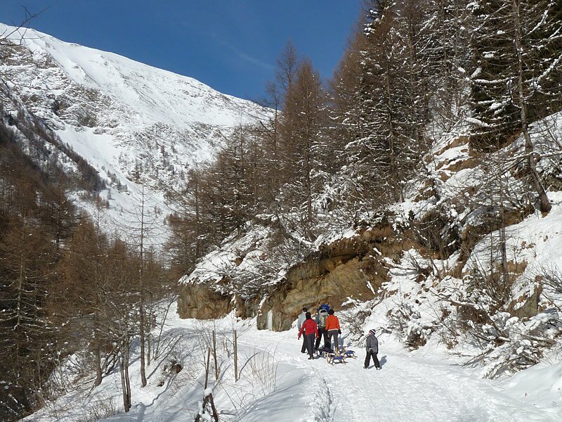
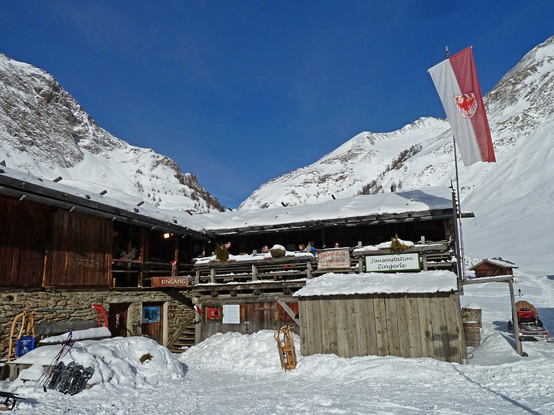
The next section on the forest road is definitely steeper. Here we have to watch out for sledders. After some hairpin bends the path flattens and behind a rock we can already recognise the Malga Fane in the heart of a basin.
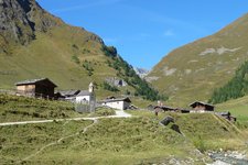
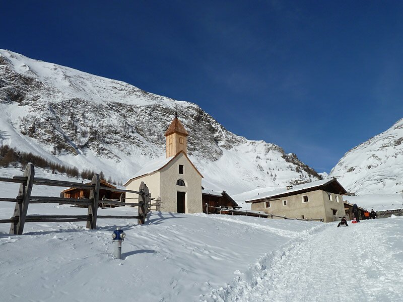
The huts and the small church with the wooden tower give the village a romantic atmosphere. One of the restaurants is open also in winter. For our return we retrace our steps. It is possible to descend by sledge.
Author: AT
Notice: The reported data refer to the entire hike.
Date of the hike: 29 December 2025
Last updated in: 2026
-
- Starting point:
- parking space of the Jochtal skiing area in Valles
-
- Overall time:
- 02:30 h
-
- Total route length:
- 8,7 km
-
- Altitude:
- from 1.371 m to 1.736 m
-
- Altitude difference (uphill | downhill):
- +365 m | -365 m
-
- Signposts:
- Milchweg, Fane Alm
-
- Destination:
- Fane Alm
-
- Resting points:
- Kurzkofelhütte, Gatterer, Zingerle, Kuttnhütte
-
- Recommended time of year:
- Jan Feb Mar Apr May Jun Jul Aug Sep Oct Nov Dec
-
- Download GPX track:
- Winter hike from Valles to the Fane Alpine village
If you want to undertake this hike, we recommend checking the weather and trail conditions in advance and on site before starting this hike!