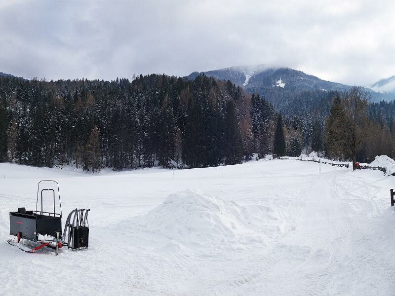
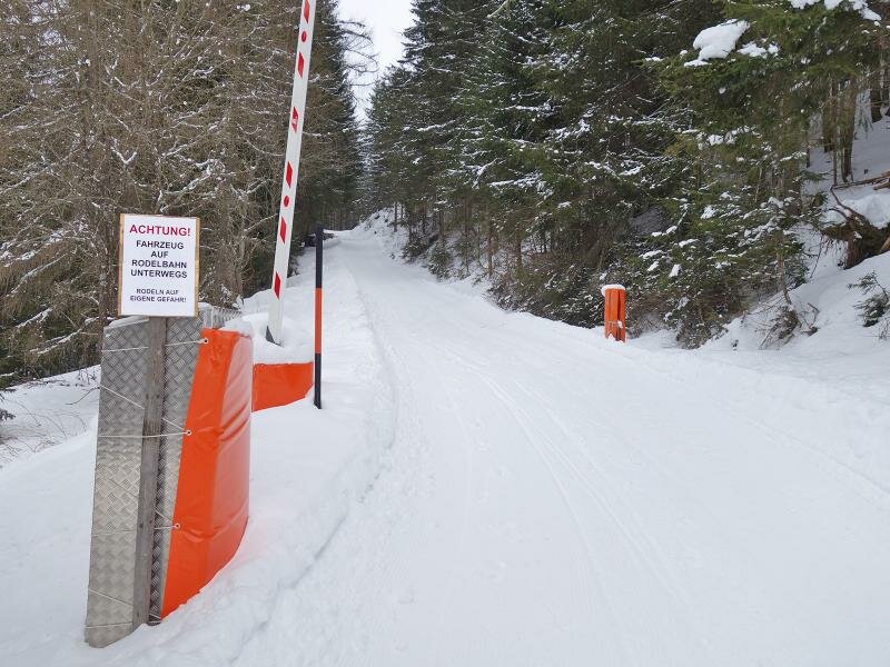
The 7 km long road up to the Leckfeldalm mountain hut runs across the forest and turns into a sledge run in the winter months
Image gallery: Winter hiking path and sledge run Leckfeldalm
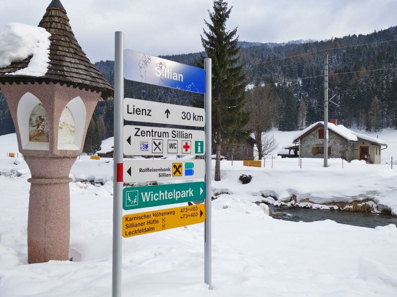
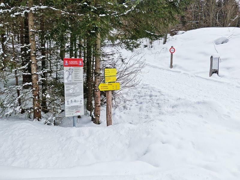
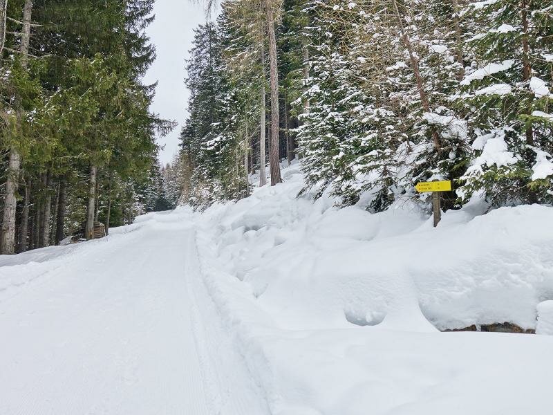
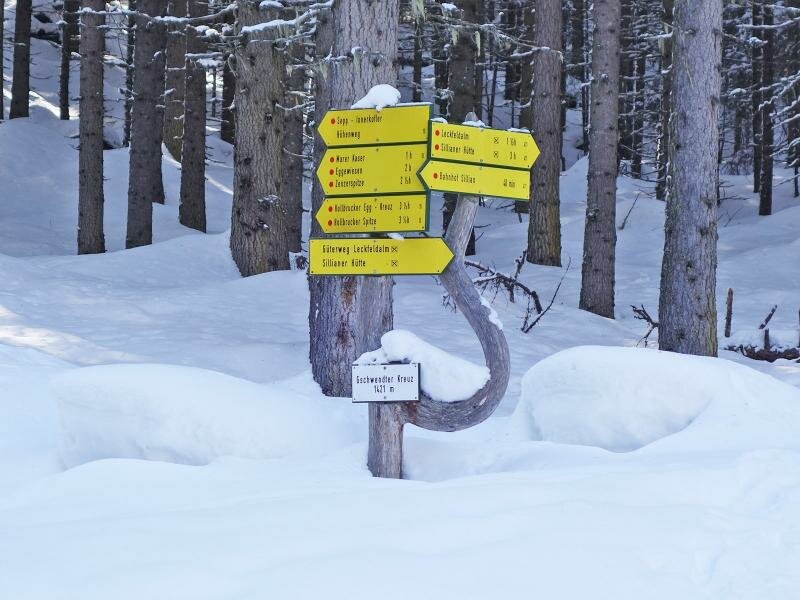
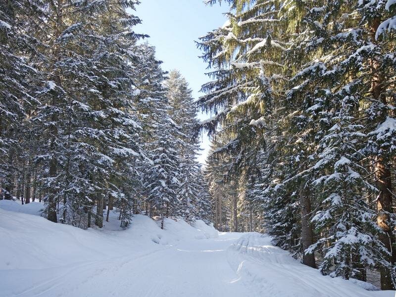
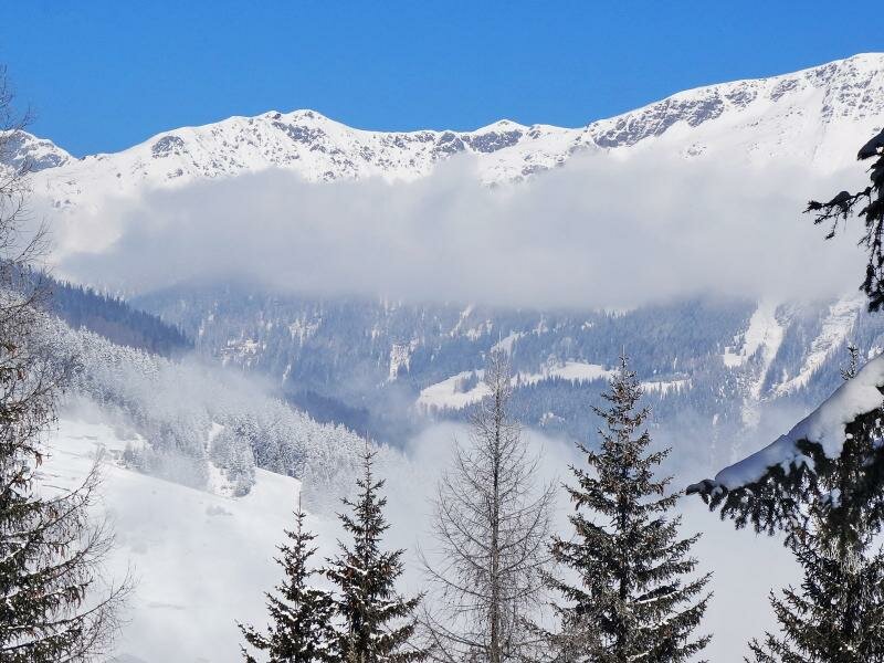
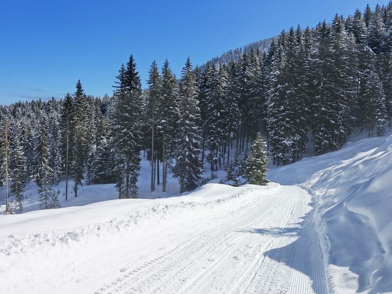
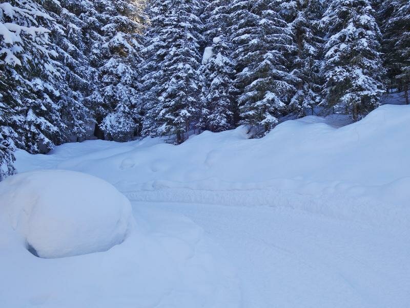
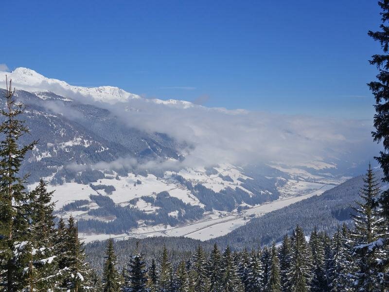

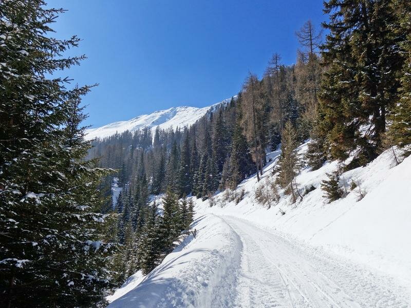
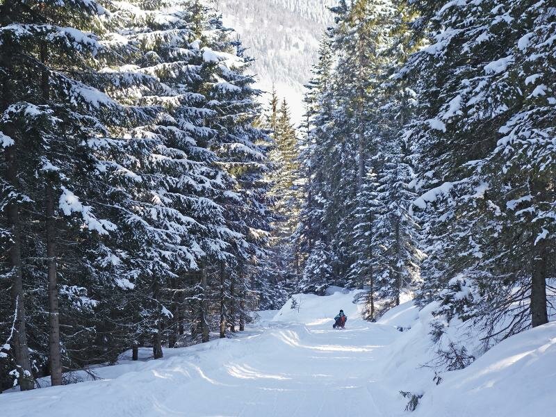
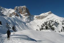
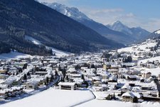
In the western part of Sillian we take the path to the "Wichtelpark". First we cross the Draubrücke bridge and after some metres we continue walking along the sledge run (signposts no. 473 and later no. 471). We walk uphill to the Gschwndter Kreuz and the Leckfeldalm. Our path takes us through the forest and in some spots we enjoy a marvellous view of the Val Pusteria and the Defereggen Alps.
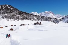
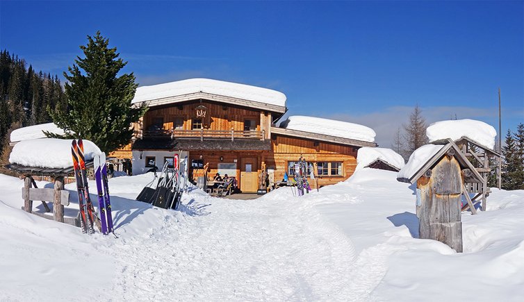
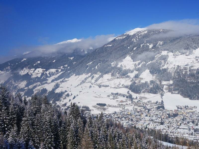
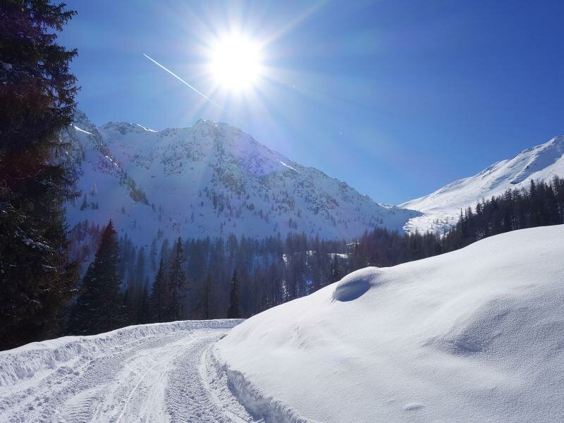
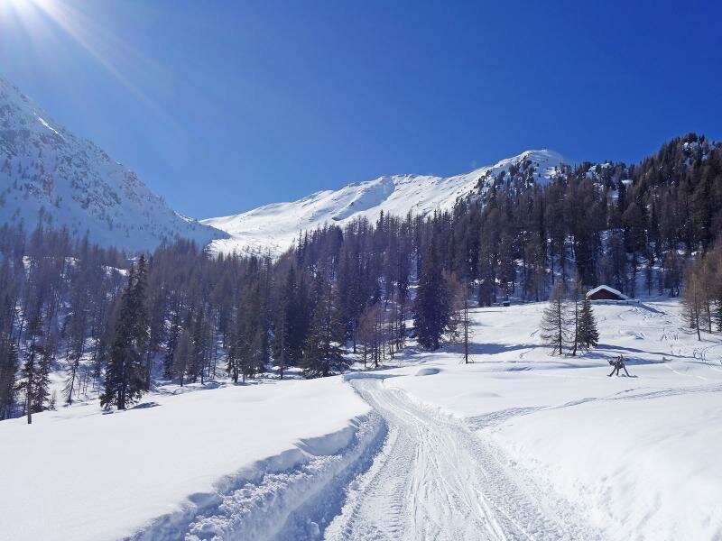
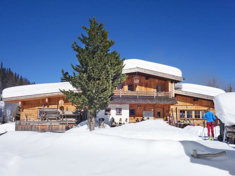
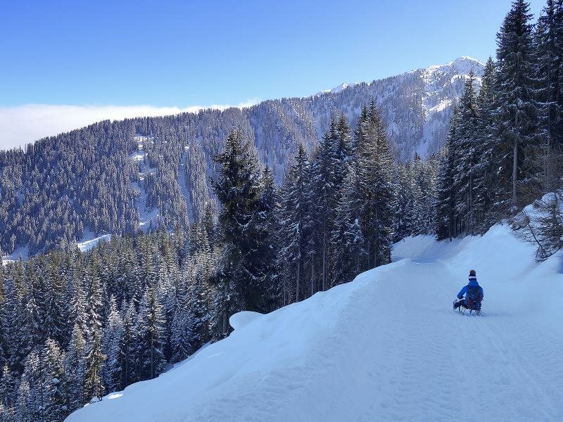
The entire itinerary runs constantly uphill with an average gradient of 12%, making it ideal for a descent by sledge. We cover almost 850 metres of difference in altitude and after 2.5-3 hours we finally arrive at the wonderful sunny meadow of the Leckfeldalm. Below us extends the valley and above us the peaks of the Carnic Alps from Hochgruben to the Füllhorn. Here we can relax and recharge our batteries before descending to Sillian by sledge.
Author: AT
Date of the hike: 24 February 2018
Last updated in: 2026
-
- Starting point:
- Sillian
-
- Overall time:
- 04:30 h
-
- Total route length:
- 14,9 km
-
- Altitude:
- from 1.079 m to 1.921 m
-
- Altitude difference (uphill | downhill):
- +844 m | -844 m
-
- Signposts:
- 473, 471
-
- Destination:
- Leckfeldalm
-
- Resting points:
- Leckfeldalm
-
- Recommended time of year:
- Jan Feb Mar Apr May Jun Jul Aug Sep Oct Nov Dec
-
- Download GPX track:
- Winter hiking path and sledge run Leckfeldalm
If you want to undertake this hike, we recommend you to check the weather and trail conditions in advance and on site before setting out.