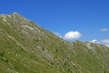
The Carnic Main Crest, part of the Carnic Alps, extends over a length of 100 km
Image gallery: Carnic Main Crest
Between South Tyrol, the Austrian states of East Tyrol and Carinthia plus the Italian Provinces of Belluno and Udine, the Carnic Main Ridge is located, part of the Carnic Alps. The Carnic Main Ridge is one of two subdivisions, the second part is formed by the Carnic Prealps (Friaul Dolomites).
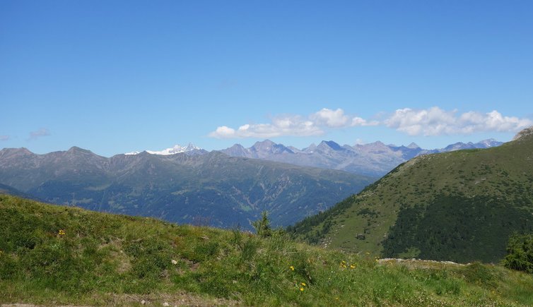
Over a length of 100 km, the Carnic Main Crest extends from east to west. In the west the ridge starts with the Monte Elmo (2,433 m a.s.l.), a popular skiing area near Versciaco in South Tyrol. The highest mountain is the Monte Coglians (Hohe Warte) at the border between Carinthia and the Province of Udine, further considerable peaks are the Pfannspitze (2,678 m), Großer Kinigat (2,689 m) and the Hochweißstein (2,694 m).
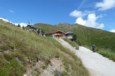
The Carnic Main Crest is a popular hiking region with, also the Carnic High Route proceeds here along the state border between Italy and Austria. On a length of 155 km, several beautiful mountain huts are located along the high route, for example the Sillianer Hütte (2,447 m), Obstansersee Hütte (2,304 m) and the Porzehütte (1,942 m).
Highest peak: Monte Coglians (Hohe Warte), 2.780 m a.s.l.
Territory: South Tyrol, East Tyrol, Carinthia, Belluno, Udine