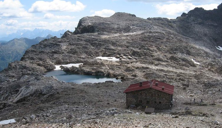
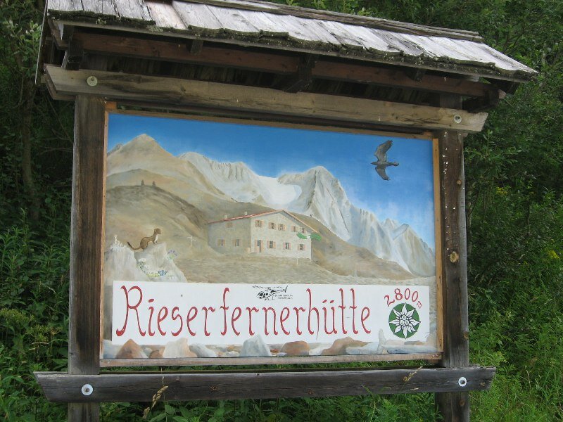
The Vedrette di Ries mountain hut (2,792 m a.s.l.) is eco-labeled and impressively located in the Vedrette di Ries-Aurina Nature Park
Image gallery: Mountain tour to the Pizzo di Vedrette
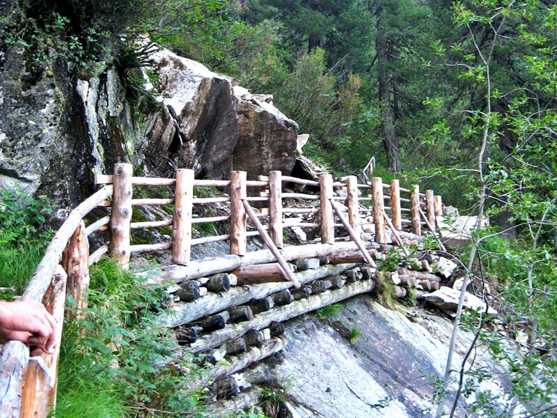
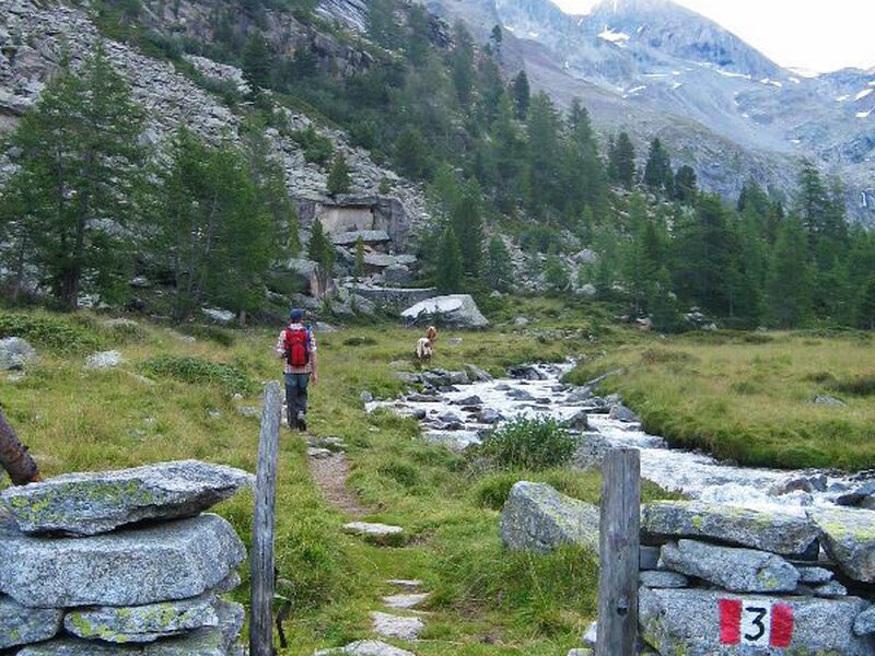
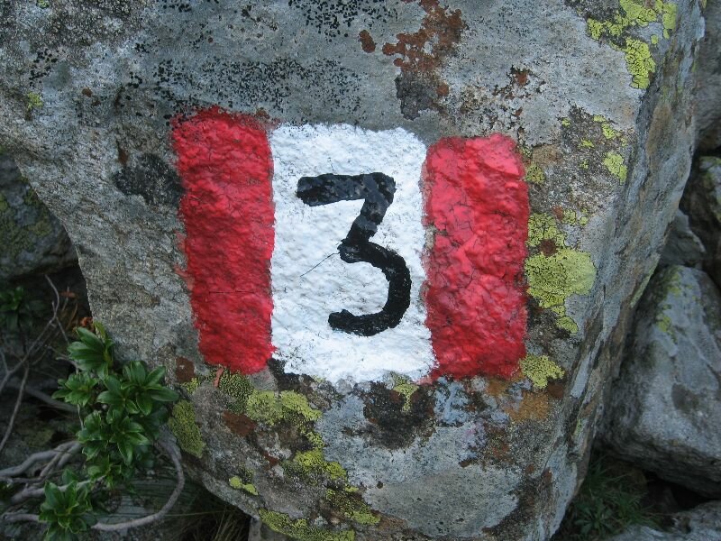
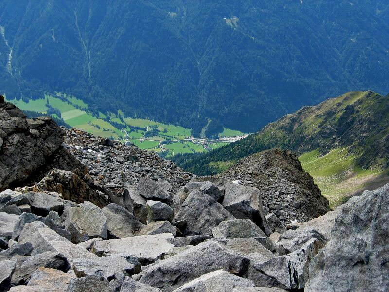

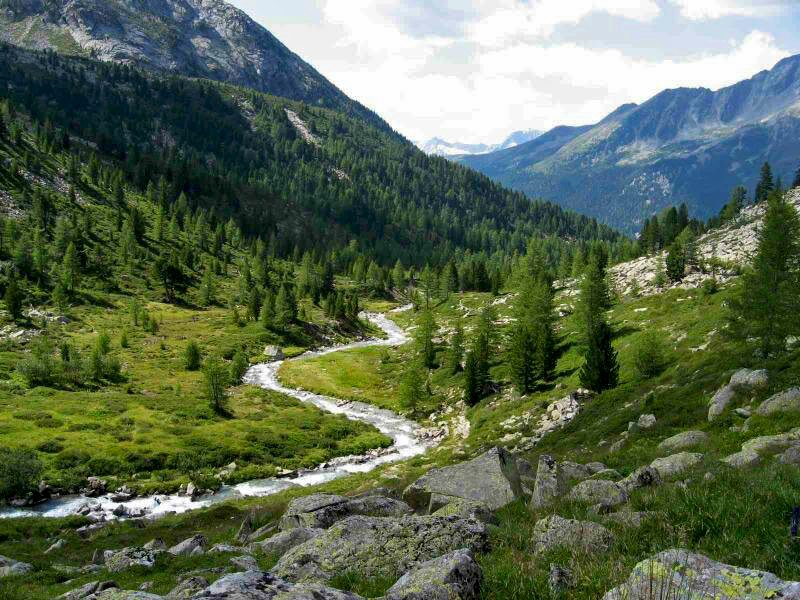

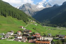
The starting point for our hike is the Sager parking space at Riva di Tures at the main road. It is a perfect summer day, we follow the marker n° 3 along the Rio Riva and waterfalls through the dense forest. After about one hour walk we reach the Outer Gelttal hut which is located on the plateau of the Gelttal mountain pastures and we can take breath. Then we walk further to the Inner Gelttal hut at 2,067 m a.s.l.
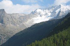
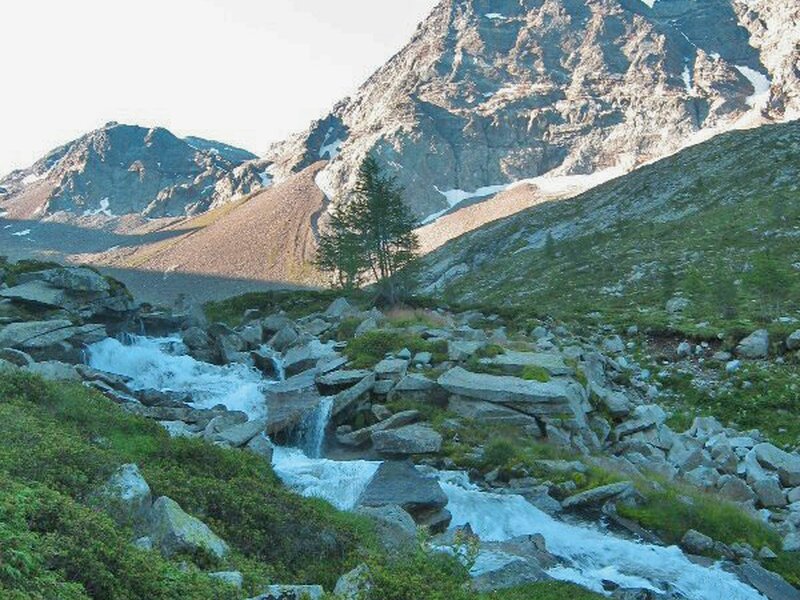
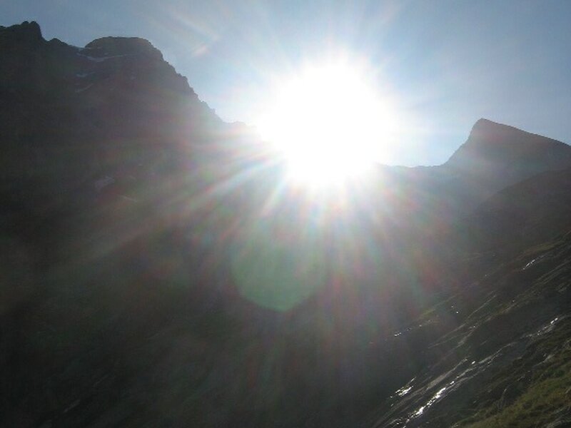
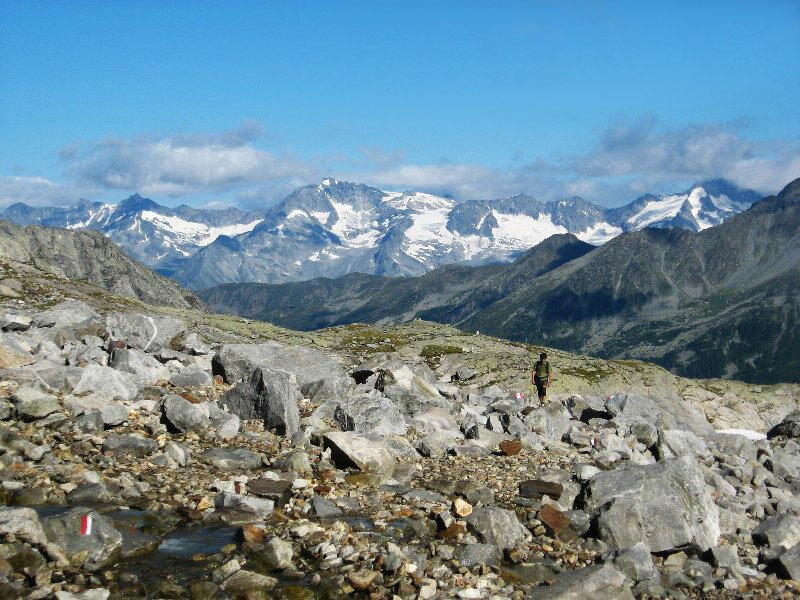
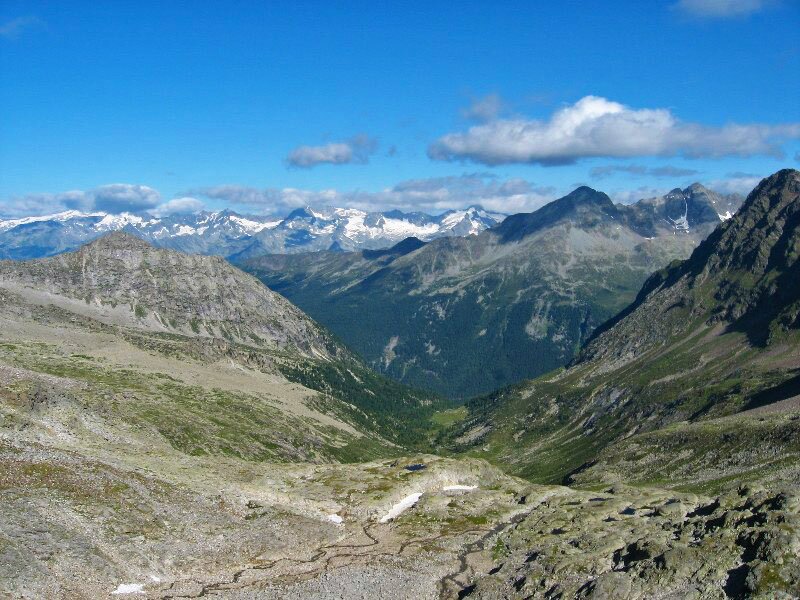
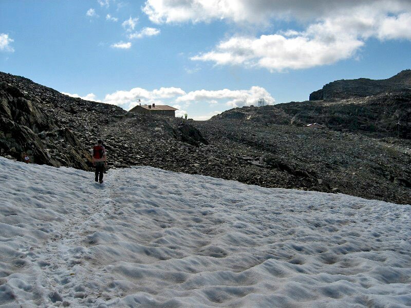
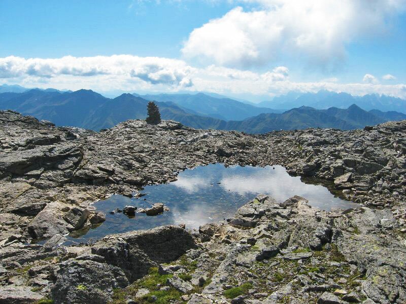
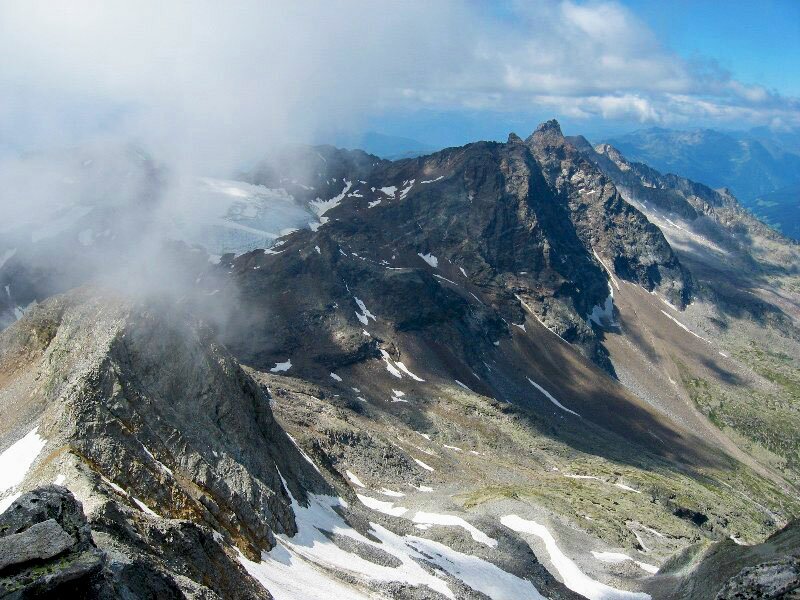
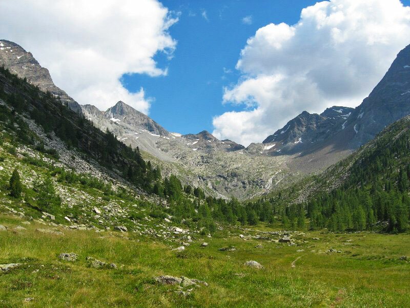
In front of us the wide valley surrounded by mighty glaciated mountains and a rolling glacial stream. On a comfortable path we walk into the valley, at the end the path leads us up to the Gelttal Glacier towards the Vedrette di Ries mountain hut. An amazing panorama rewards us for the efforts, numerous three-thousand-metre peaks in front of and behind us. At the ridge we can see the mountain hut, and after crossing a small snowfield we have also reached it.
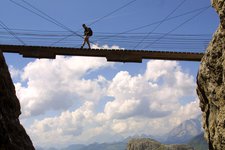
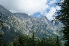
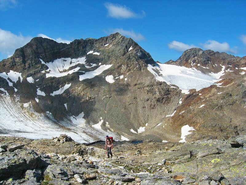
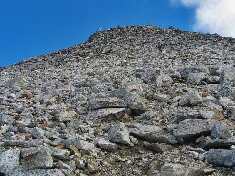
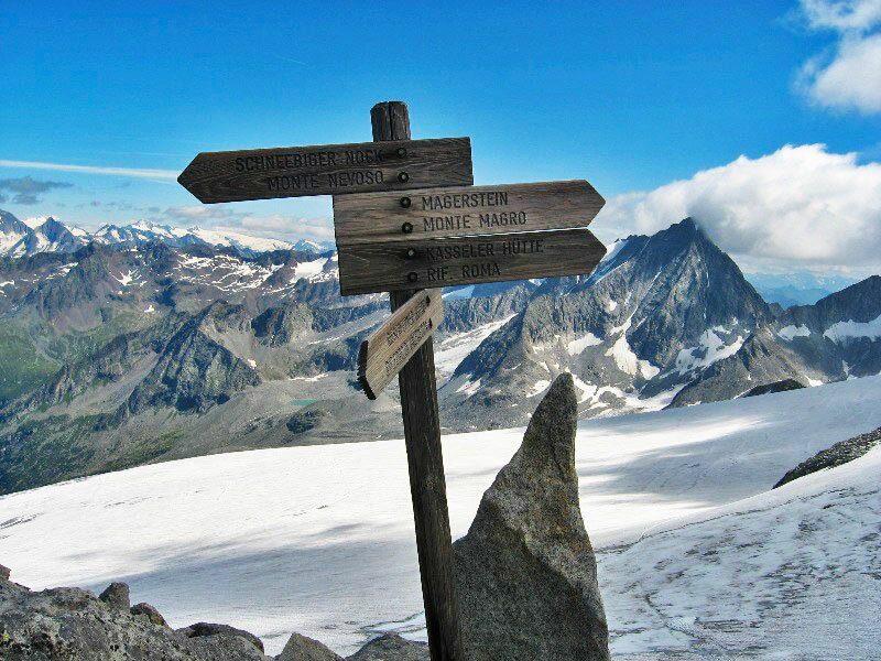
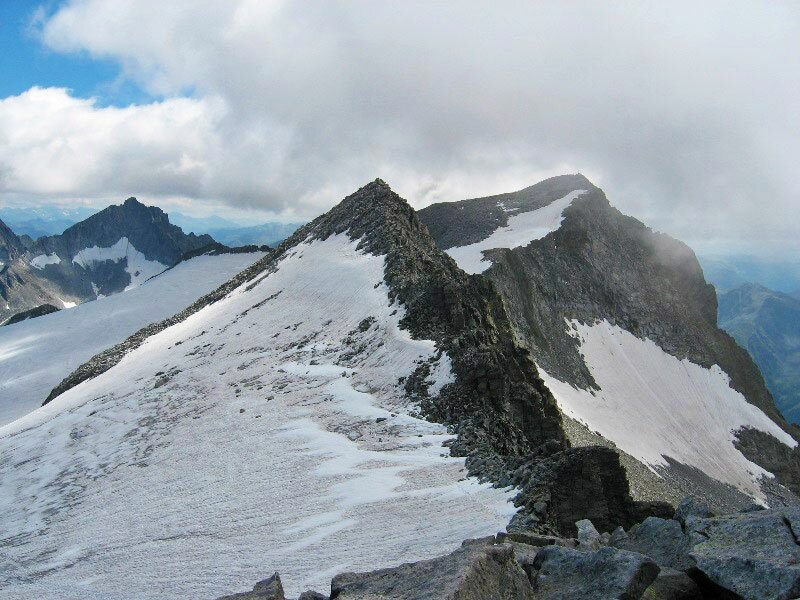
After a short rest we start again, this time towards the peak of Mt Pizzo di Vedrette (3,249 m a.s.l.) which we can already see from the mountain hut. Famous neighbours of the mountain are Mt Magro (3,270 m) and Mt Nevoso (3,358 m). Across smaller and bigger rocks and two small snowfields we walk uphill to the mountain top. Shortly below the ridge we also have to use our hands to overcome the steps. Then it's done, we reach the top with a gorgeous summit cross and an amazing view on the surrounding glaciated three-thousand-metre peaks. Due to the distance of the hike don't underrate the way back, which is done on the same route.
Please note: very beautiful mountain path until the Vedrette di Ries mountain hut, which also offers overnight accommodation and is an ideal starting point for alpine tours. This hike is also recommended as a two-day tour. The mountain hut is also reachable from the Valle di Anterselva (marker n° 3), from Vila di Sopra (marker n° 1) and from Gais (only for experts). Stamina and sure footedness are absolutely required!
Author: BS
-
- Starting point:
- Riva di Tures, Säger parking space
-
- Overall time:
- 08:15 h
-
- Total route length:
- 19,7 km
-
- Altitude:
- from 1.525 m to 3.249 m
-
- Altitude difference:
- +1724 m | -1724 m
-
- Route:
- Riva di Tures - Outer Gelttal hut - Inner Gelttal hut - Vedrette di Ries mountain hut - Mt Pizzo di Vedrette (summit)
-
- Signposts:
- 3
-
- Destination:
- Mt Pizzo di Vedrette
-
- Resting points:
- Vedrette di Ries mountain hut
-
- Recommended time of year:
- Jan Feb Mar Apr May Jun Jul Aug Sep Oct Nov Dec
-
- Download GPX track:
- Mountain tour to the Pizzo di Vedrette
If you want to do this hike, we suggest you to check the weather and trail conditions in advance and on site before setting out.