Today we start in the Valle Aurina and arrive to the rifugio Sasso Nero and the Forcella di Rio Torbo at 3,021 m a.s.l. in the Zillertal Alps
Image gallery: Hike to the Sasso Nero Mountain Hut
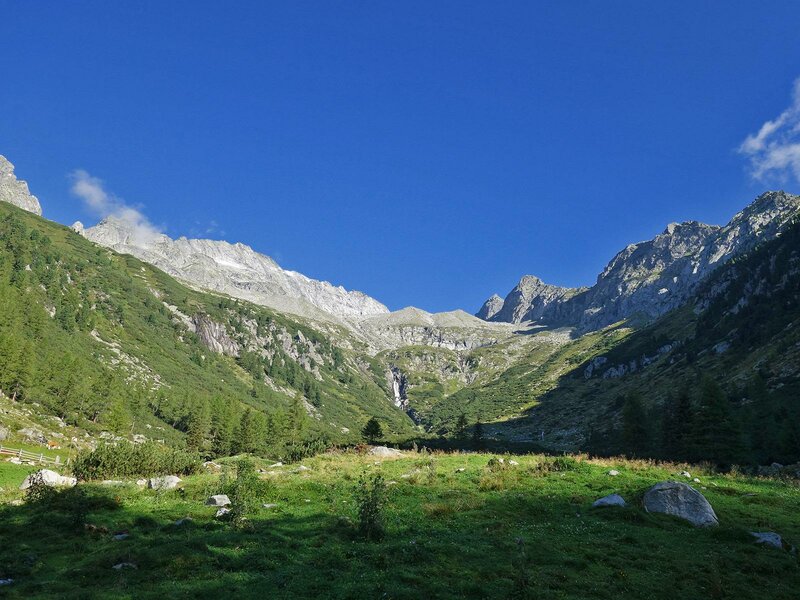
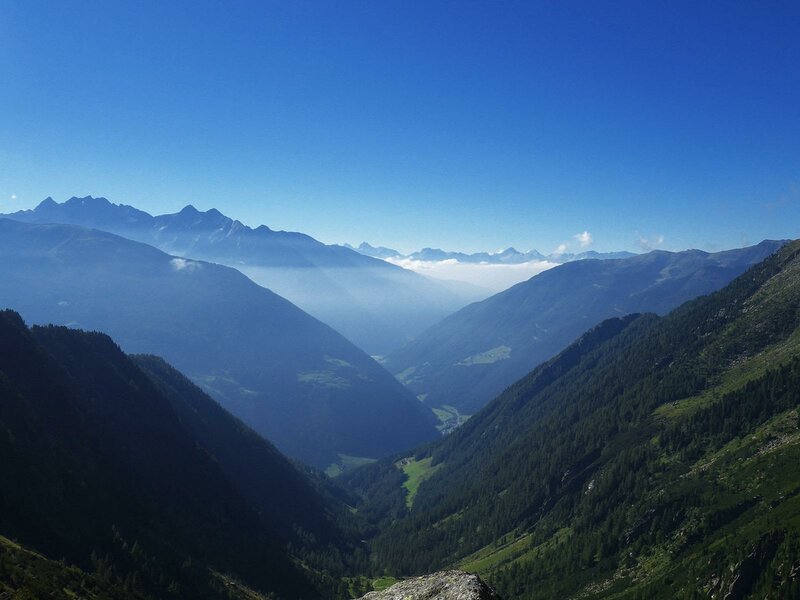

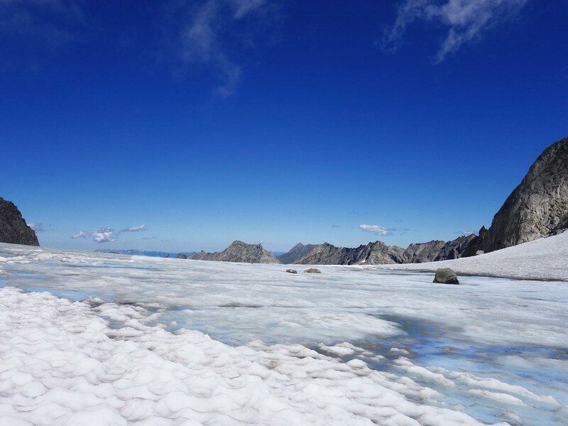
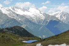
This mountain hike takes us to the glaciers in the proximity of the watershed between the Adriatic and the Black See and the northern and southern Alps between Italy and Austria. We stop at the new Sasso Nero hut at 3,000 m a.s.l.
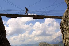
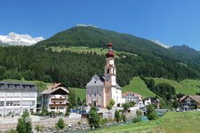
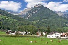
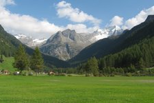
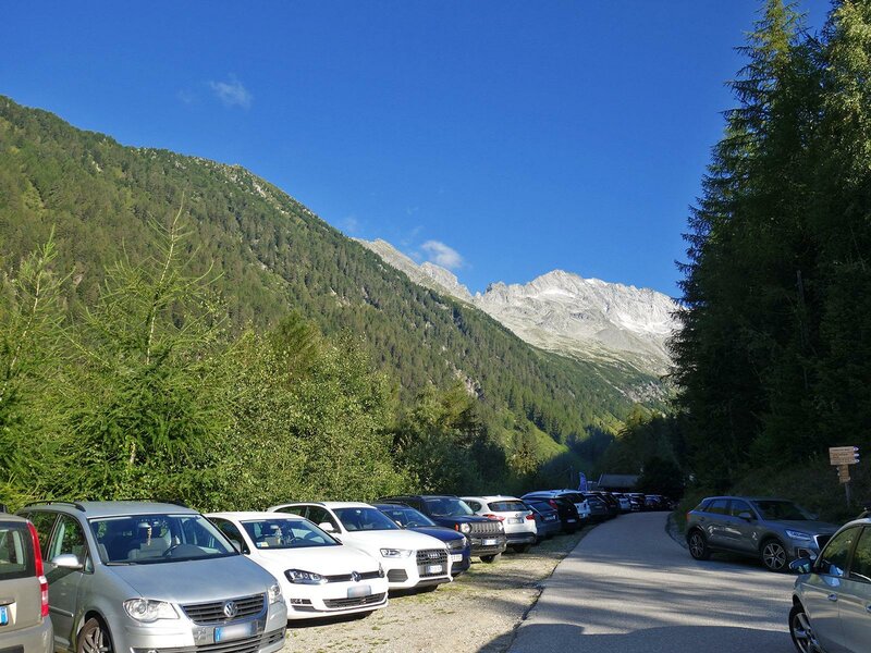
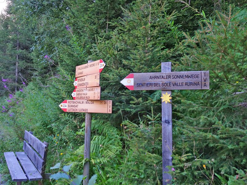
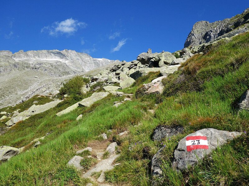
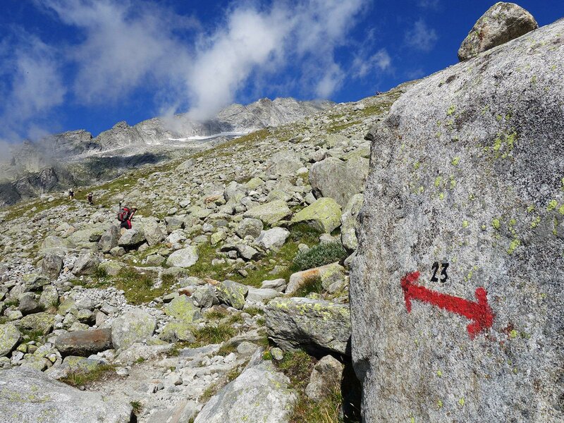
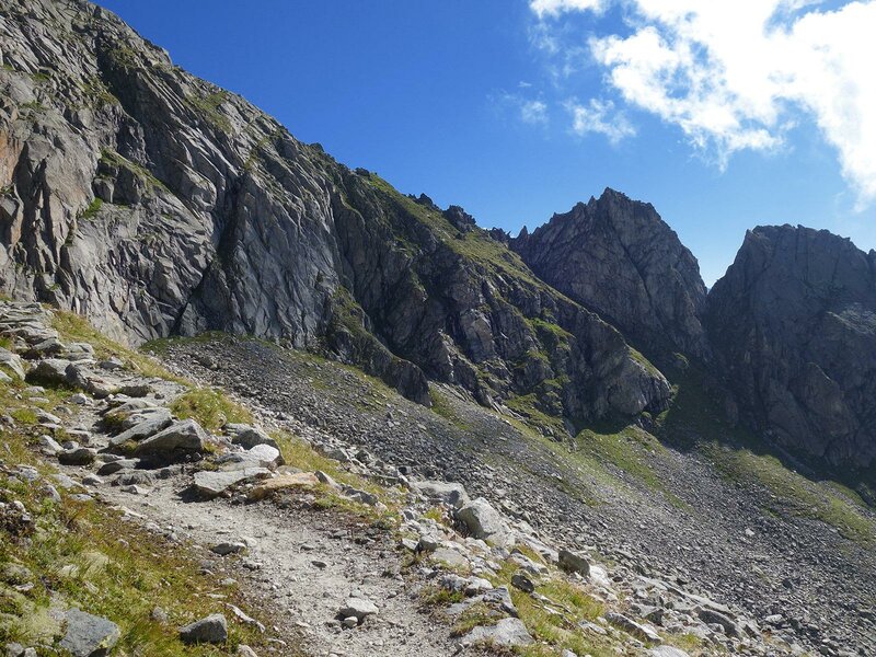
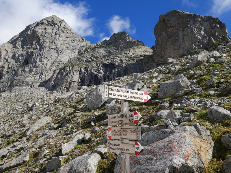
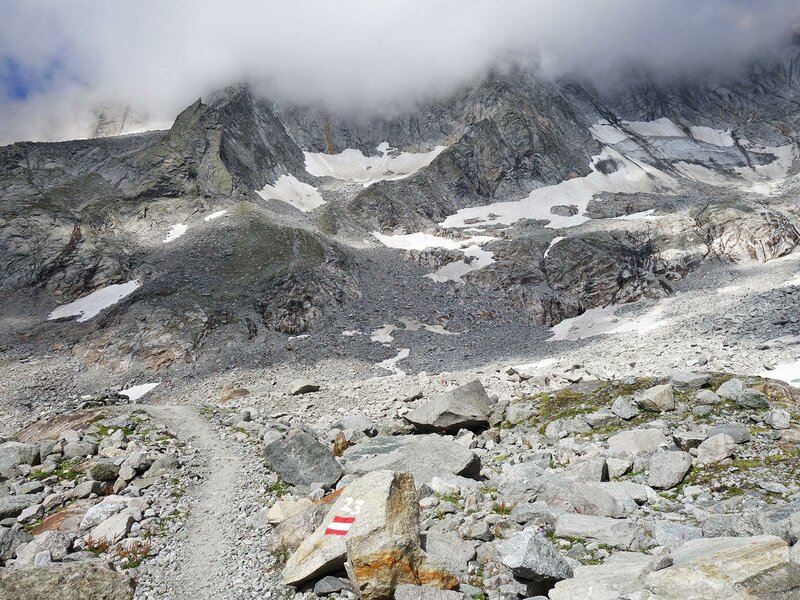
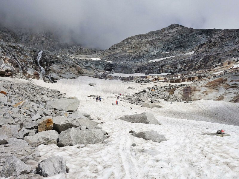
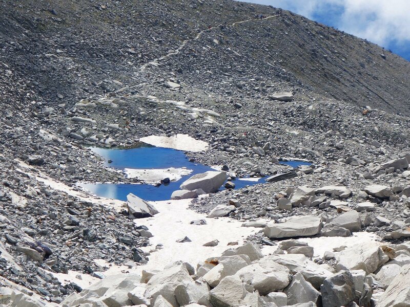
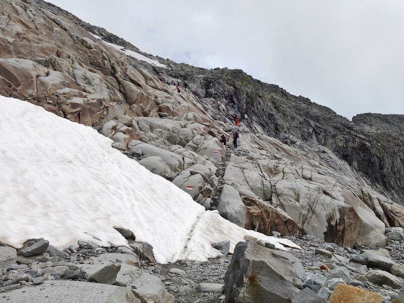
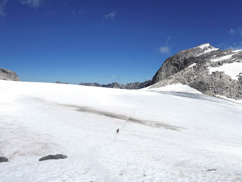
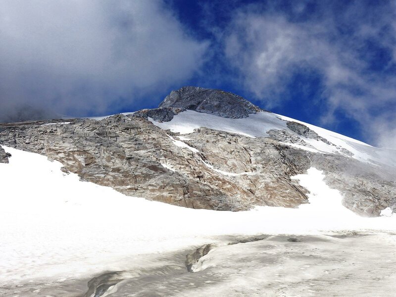
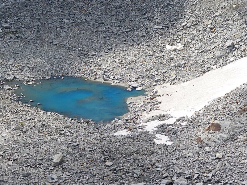
The most suitable starting point for this mountain hike is the car park at the mountain restaurant Stallilla which lies on the slope above S. Giovanni in Valle Aurina. We recommend starting early in the morning as on beautiful summer days this car park will fill up soon. Initially, we take path no. 23 to the Daimerhütte hut where our mountain tour starts: the route crosses several mountain pastures and rocky, high-altitude landscapes. From an altitude of 2,500 m a.s.l. rocks prevail over vegetation. We turn left and cross the rock blocks while approaching the centre of the basin. Then we cross the slippery snowfields on the right side of the valley. The steep wall is equipped with rock steps, a ladder and ropes which are critical for managing this short via ferrata without difficulties.
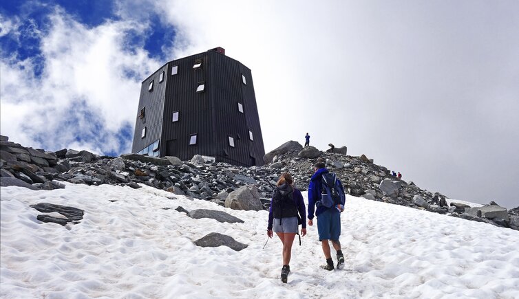
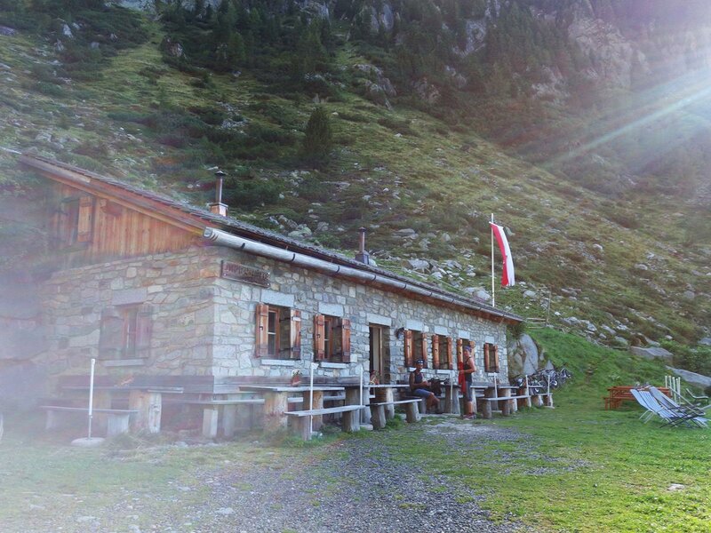
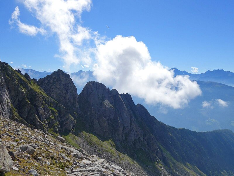
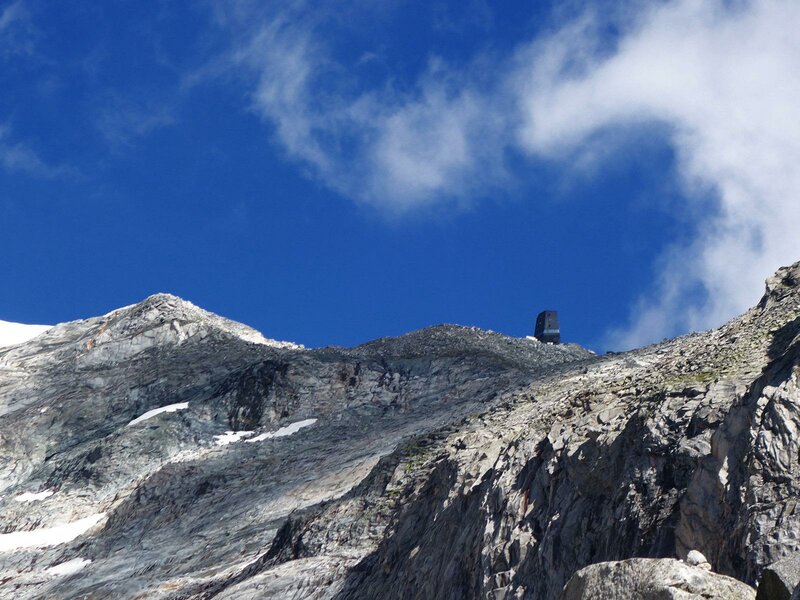
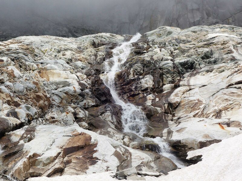
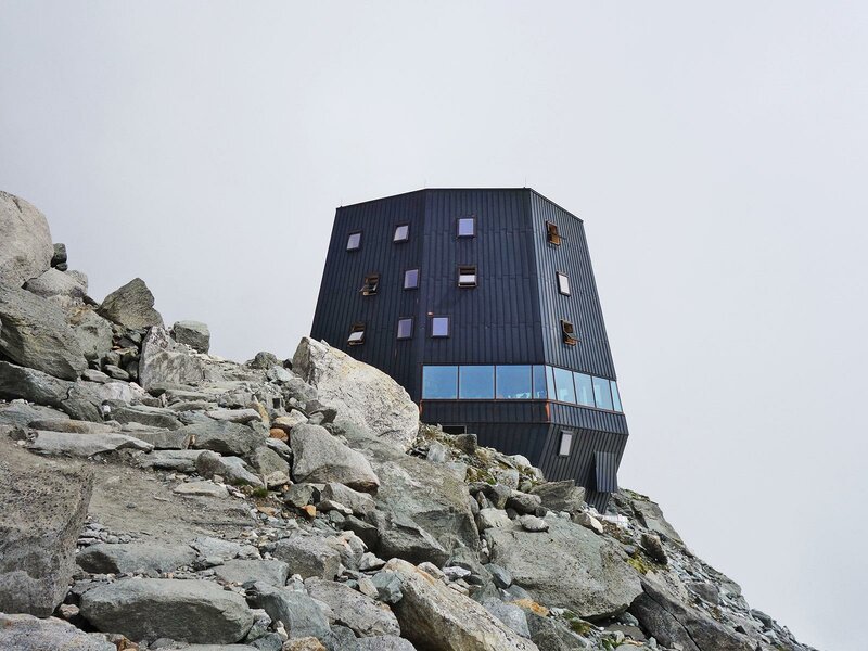
Having left this section behind us we need to cover less than 100 metres of difference in altitude to reach the modern Sasso Nero hut, which is the highest of the Zillertal Alps. Built in 2018 on a hill at the edge of the Trippachkees, the electricity used for this hut entirely derives from natural ressources, that is, the sun and the meltwater of the nearby glaciers. After a rich lunch at the hut we continue our hike until the passo Trippachsattel where also the watershed between the Sasso Nero and the Cima di Floite Ovest is situated. On our return we retrace our steps.
This mountain hike is rather easy for trained hikers which are also accostumed to altitudes around 3,000 metres. The itinerary requires sure-footedness, freedom from vertigo and suitable shoes. Always check the weather forecast before undertaking any hike.
Date of the hike: 21 August 2020
Last updated in: 2026
Author: AT
-
- Starting point:
- Parking area “Stallila”, Rotbachtal valley, San Giovanni in Valle Aurina
-
- Overall time:
- 07:00 h
-
- Total route length:
- 22,2 km
-
- Altitude:
- from 1.451 m to 3.022 m
-
- Altitude difference (uphill | downhill):
- +1574 m | -1574 m
-
- Signposts:
- no. 23a, 23
-
- Destination:
- Trippachsattel
-
- Resting points:
- Daimer Alm, Schwarzenstein Hütte mountain hut
-
- Recommended time of year:
- Jan Feb Mar Apr May Jun Jul Aug Sep Oct Nov Dec
-
- Download GPX track:
- Hike to the Sasso Nero Mountain Hut
If you want to undertake this hike, we recommend checking the weather and trail conditions in advance and on site before starting this hike!