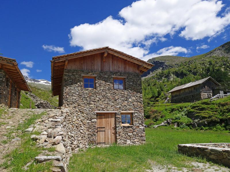
The hike to the Pojermoos biotope and on to the secluded Schreinsee lake is interesting for all those who are looking for a destination far from busy routes and busy alpine huts. Instead there is nature in abundance
Image gallery: Via the Pojer alpine pastures to the Schreinsee lake
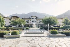
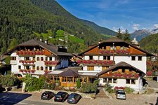
3 nights from 312 € per person
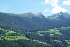
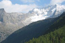
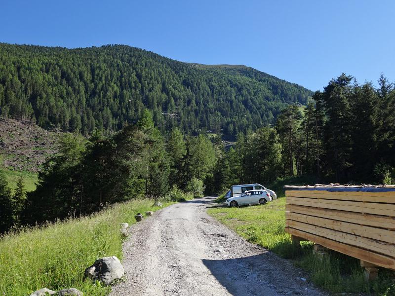
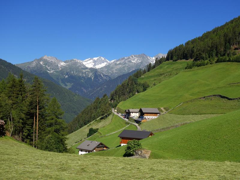
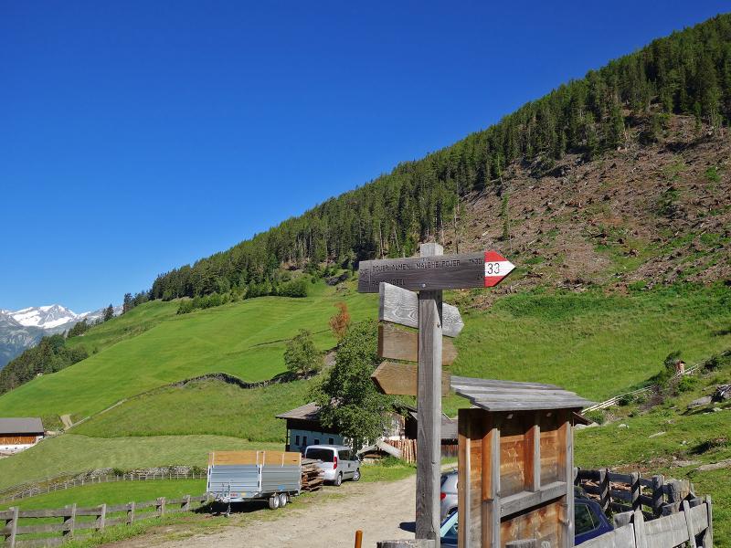
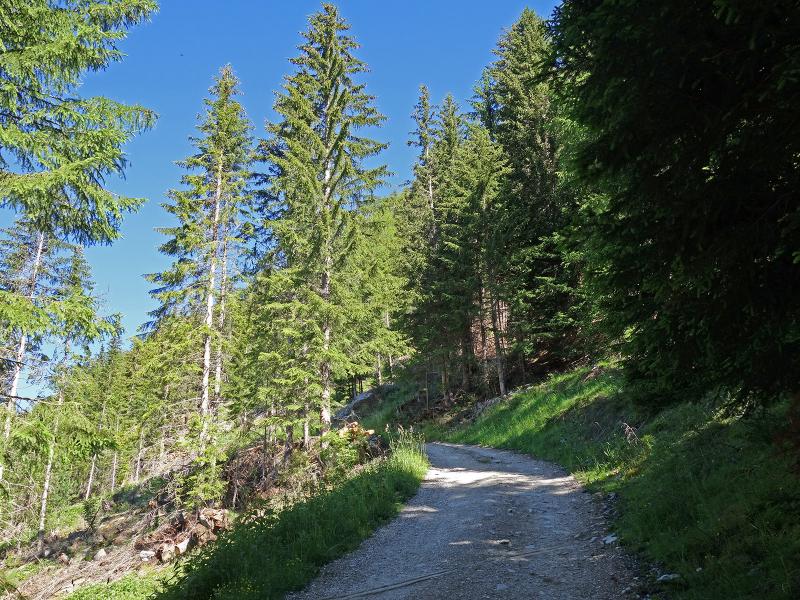
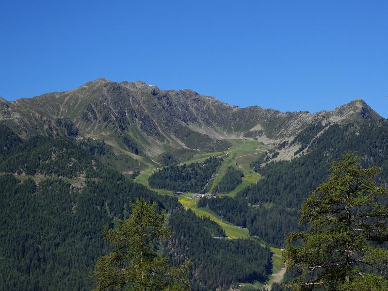
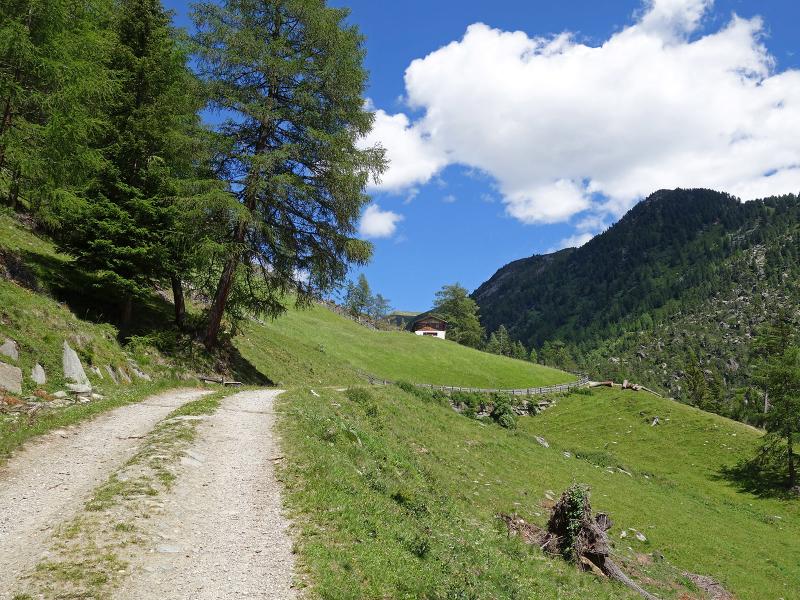
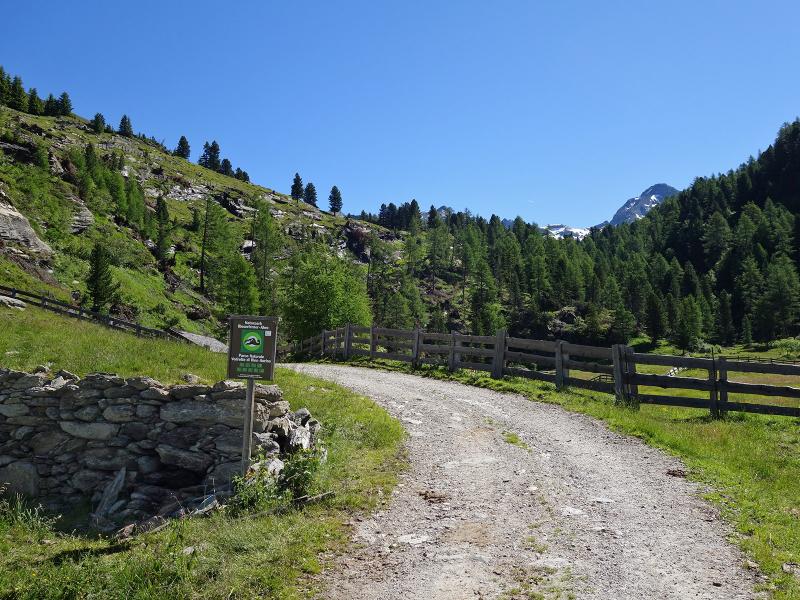
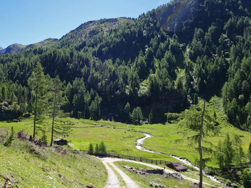
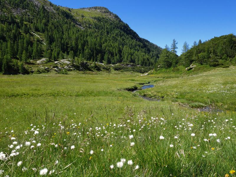
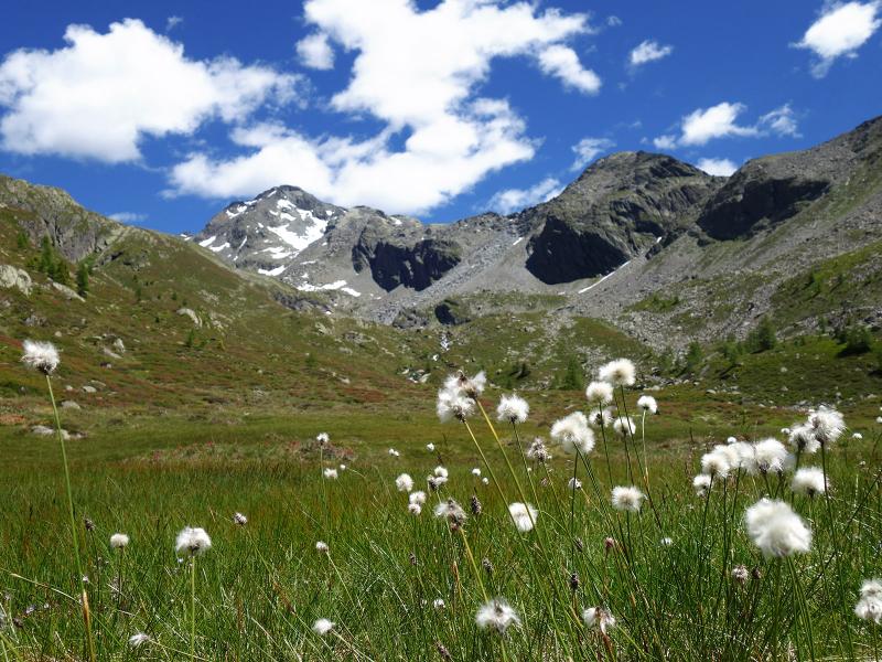
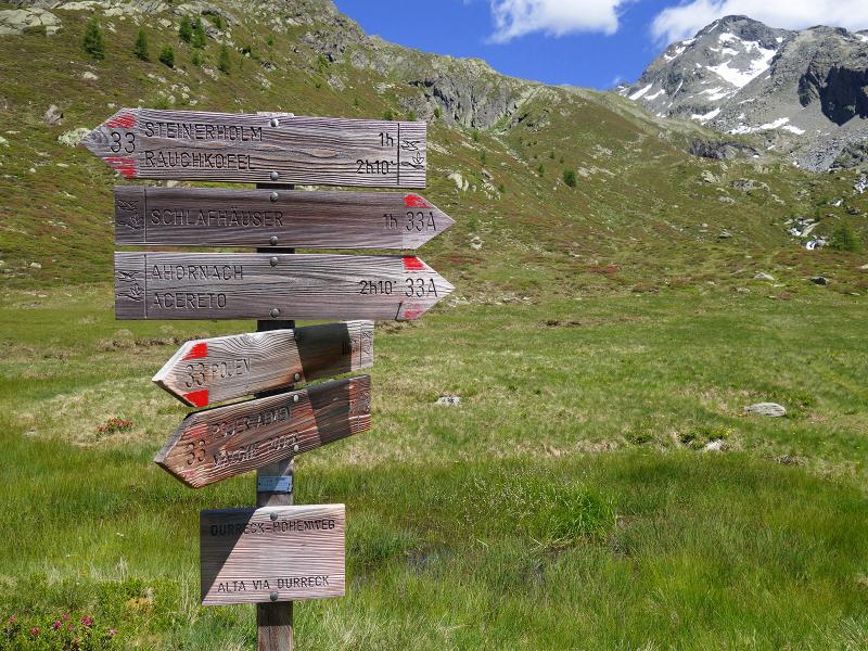
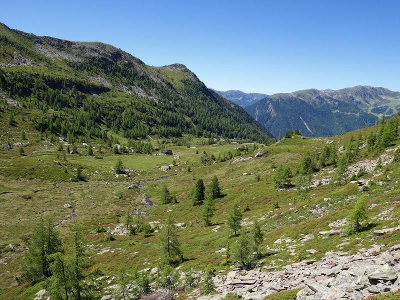
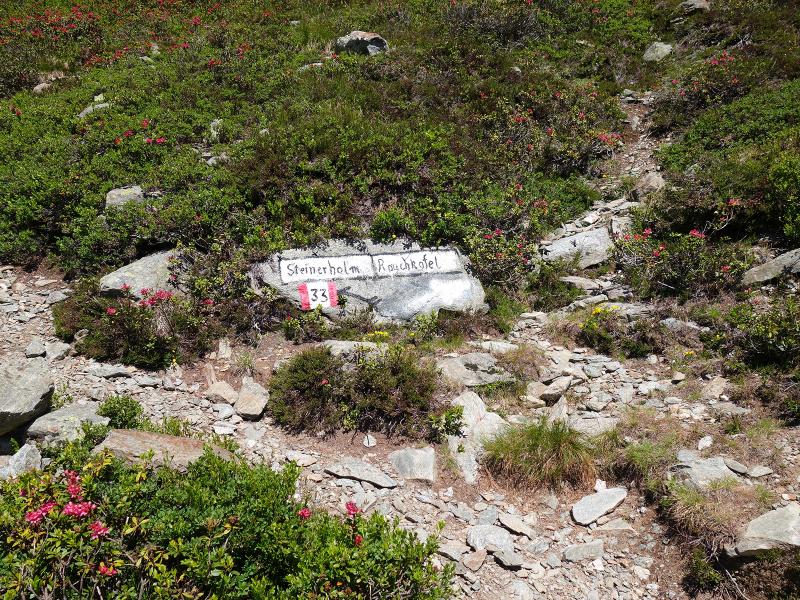
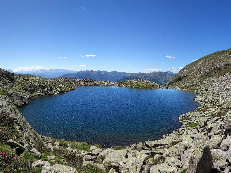
The hamlet of Oberpojen is a scattered settlement, which we reach by car via the village of Acereto (Ahornach). At the turn-off just before the Pichlerhof there is a parking area at the side of the road. We start walking and follow the signpost "Pojer Almen" (no. 33), which is a steep forest road leading up the slope. After a section through the forest, we reach the Stiegerwiesen meadows; after further bends we finally reach the "Pojermoos" biotope, where the Pojer Alm is located. The high valley is framed by the peaks of the Cima Dura Group. The Picco Palu and the Cima Dura exceed the 3,000-metre mark.
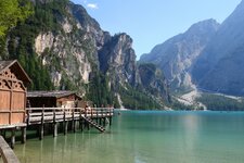
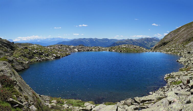
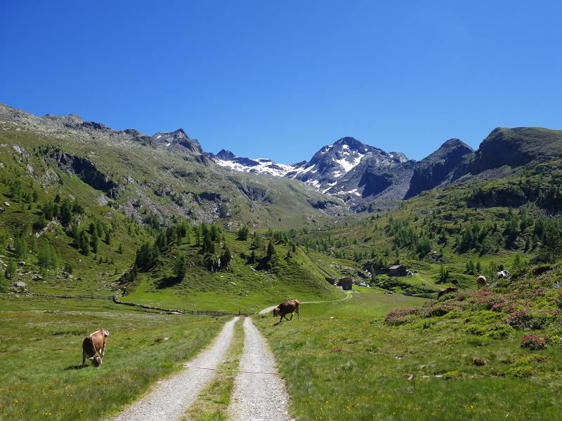
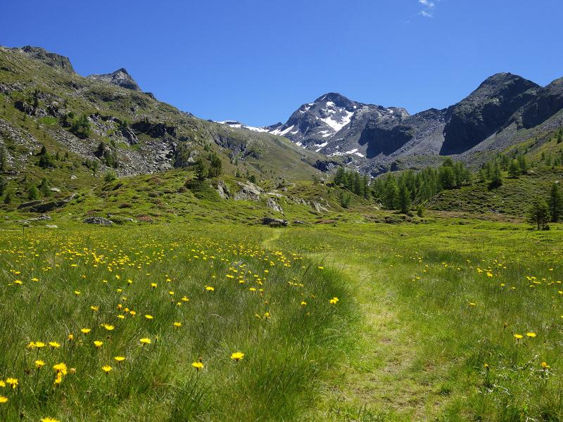
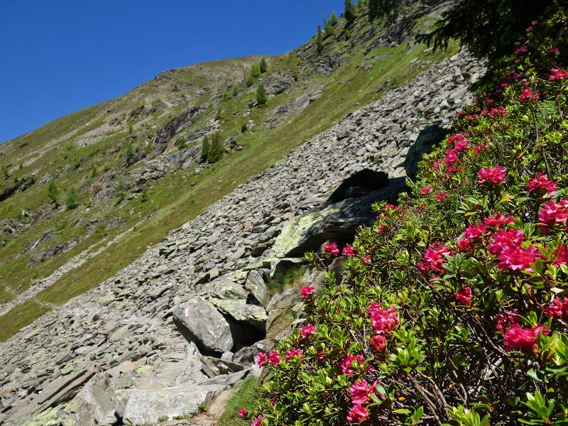
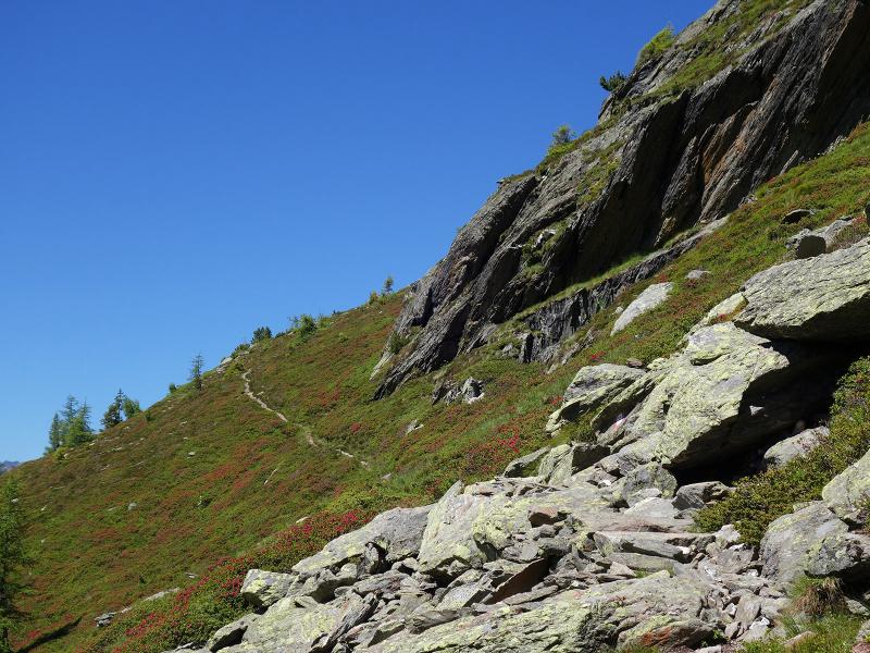
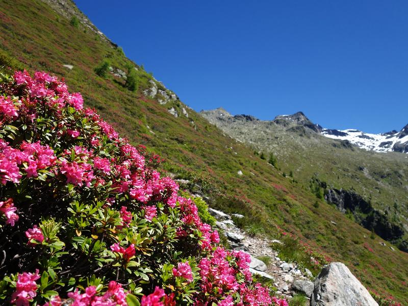
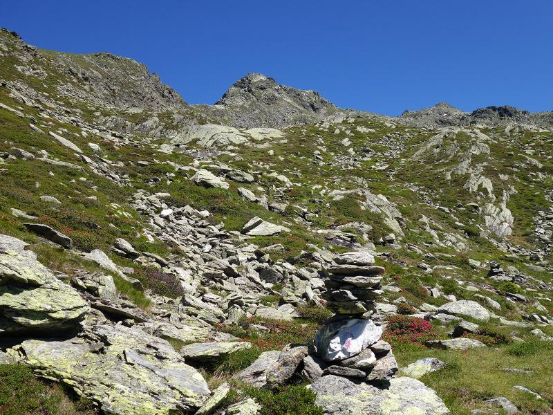
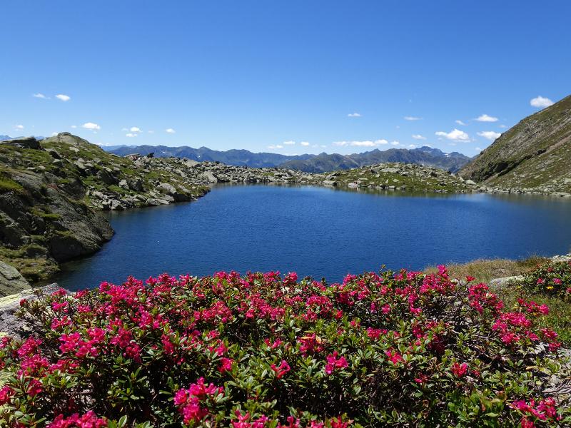
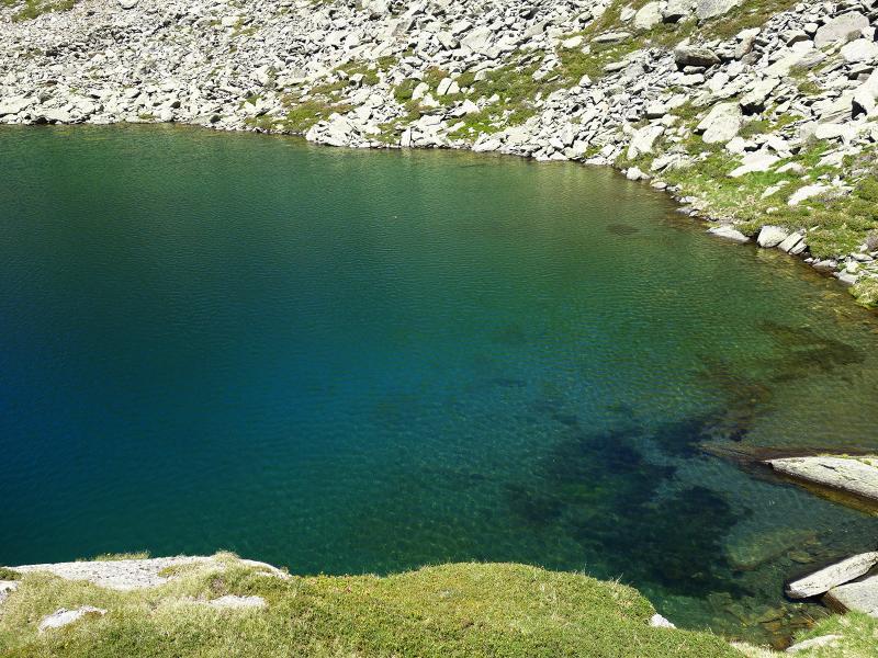
At the Pojer Alm hut the forest road ends; from here path no. 33 leads as a trail across the upper alpine meadows to the crossroads with the Cima Dura High Route. There we turn left towards "Steinerholm": the path now climbs slowly up the slope. Between alpine roses and scree valleys we finally come to a turnoff. Here we choose the path on the right towards Cima Fumo. The last section of our ascent to the Schreinsee lake runs along this poorly maintained trail. But it is worth the effort: the deep blue mountain lake is a real natural jewel; on the south-western side the view reaches up to the Dolomites. Our way back to Oberpojen is along the same route. As there are no inns and snack stations along the way, don't forget to bring your own provisions!
Author: AT
-
- Starting point:
- Acereto, hamlet of Oberpojen
-
- Time required:
- 04:40 h
-
- Track length:
- 12,4 km
-
- Altitude:
- from 1.571 m to 2.347 m
-
- Altitude difference:
- +804 m | -804 m
-
- Route:
- forest path Pojer Alm, Cima Dura High Route (Durreck Höhenweg), Schreinsee lake trail
-
- Signposts:
- no. 33, Schreinsee
-
- Destination:
- Schreinsee
-
- Recommended time of year:
- Jan Feb Mar Apr May Jun Jul Aug Sep Oct Nov Dec
-
- Download GPX track:
- Via the Pojer alpine pastures to the Schreinsee lake
If you want to do this hike, we suggest you to check the weather and trail conditions in advance and on site before setting out.