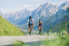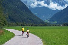
The cycle path from Brunico to Campo Tures is highly recommended for families
Image gallery: Pusterbike Cycle Path of the Tures and Aurina valleys
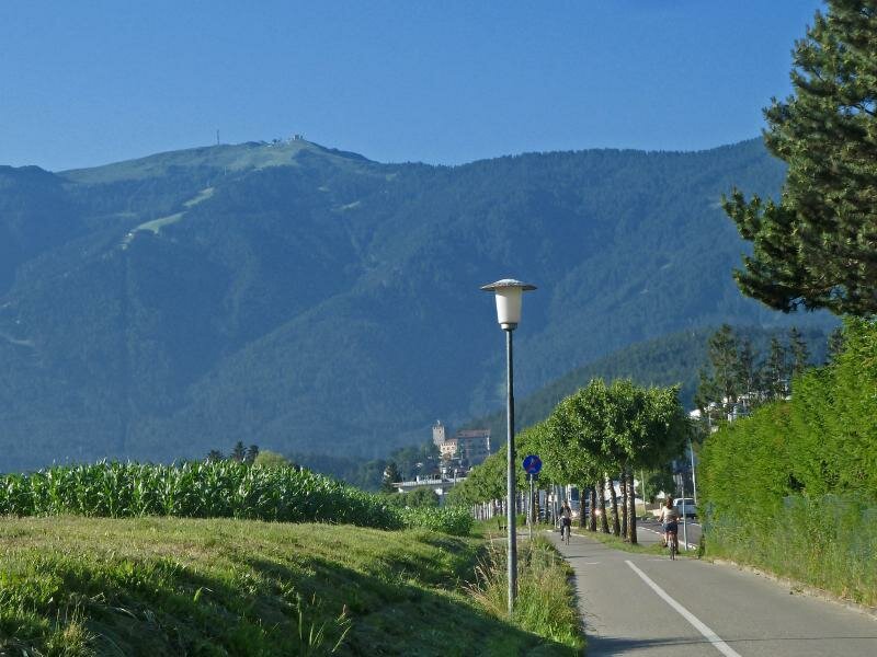
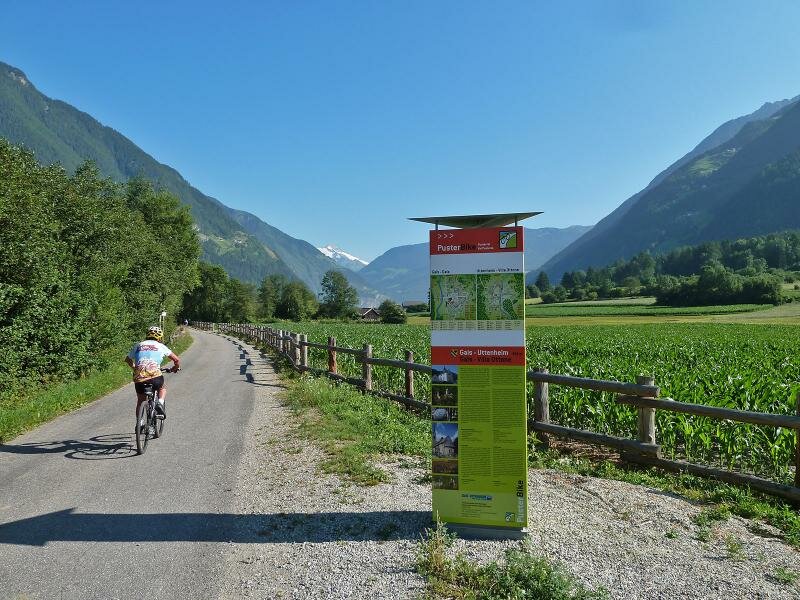
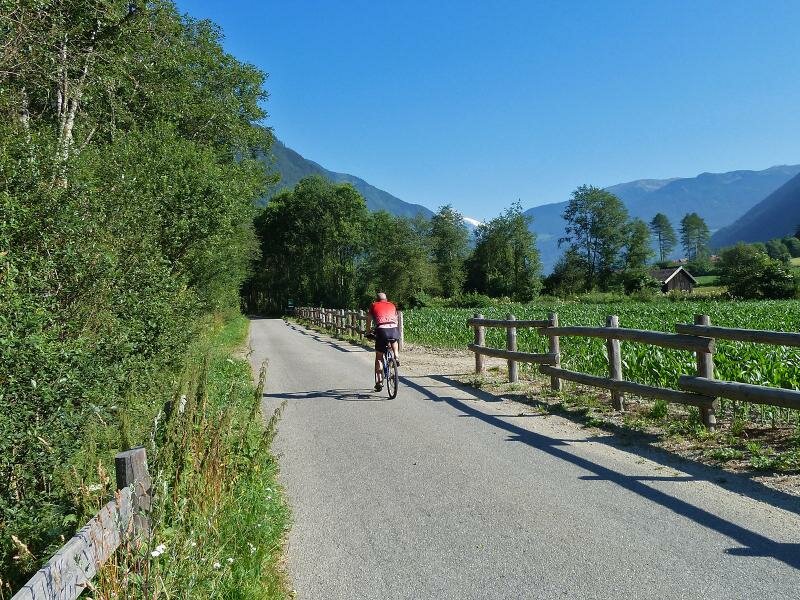
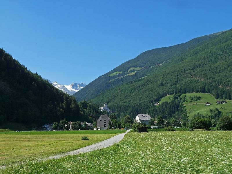
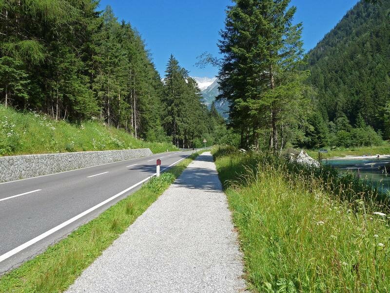
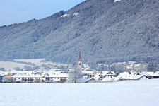
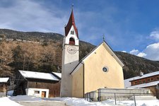
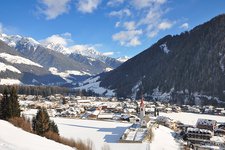
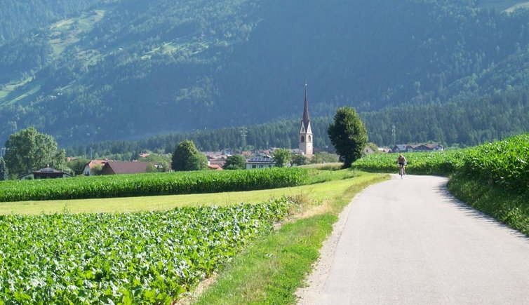
Start in Brunico (at 835 m a.s.l.) and follow the route along Via Andreas Hofer towards north. Near the village of San Giorgio the cycle path separates from the road of the Valle di Tures and takes us through the fields to Gais. Follow some roads in the village and pass the small industrial area before cycling along the Aurino stream towards the centre of the valley. The path leads past the village of Villa Ottone and proceeds to Caminata. After the church its runs across the fields to Campo Tures.
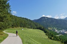
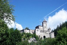
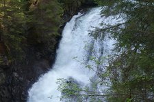
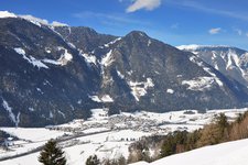
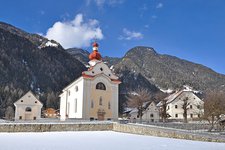
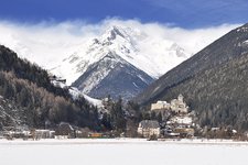
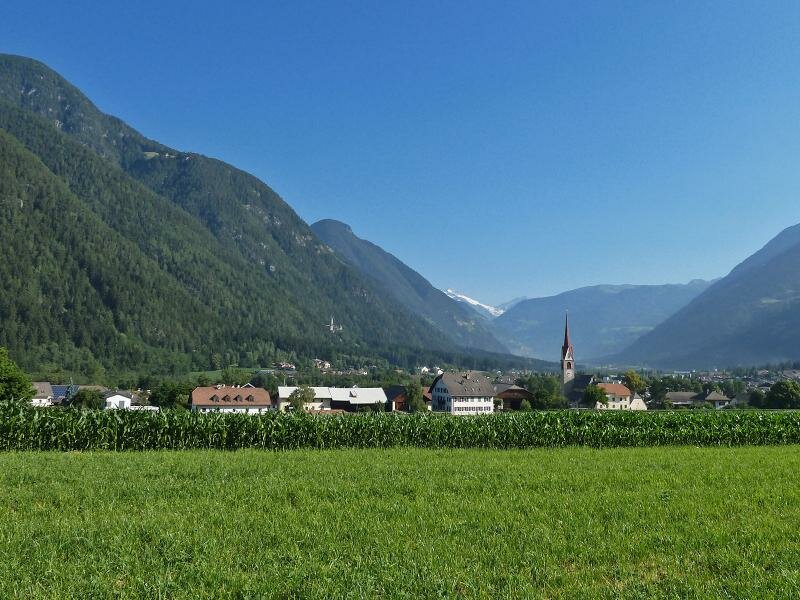
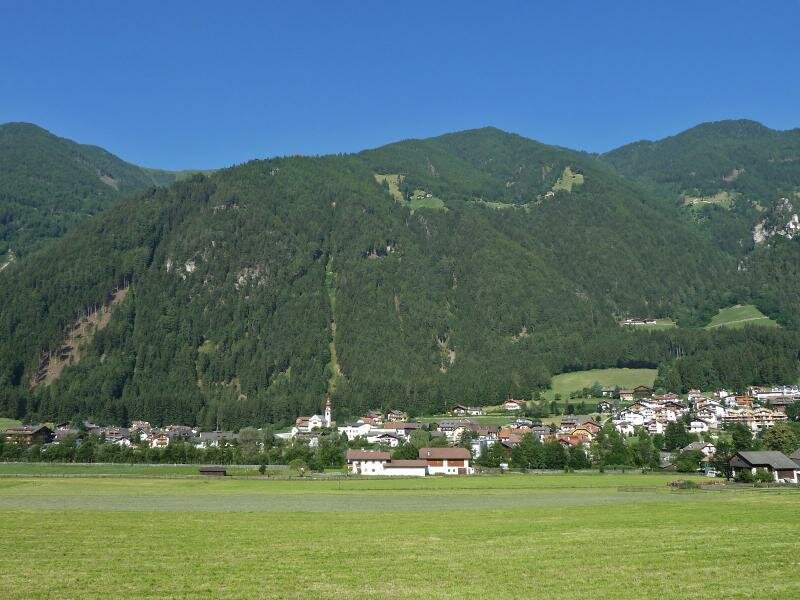
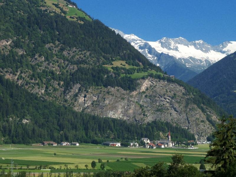
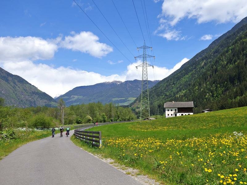
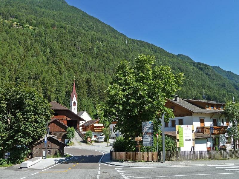
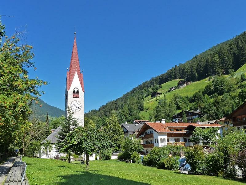
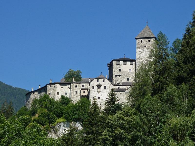
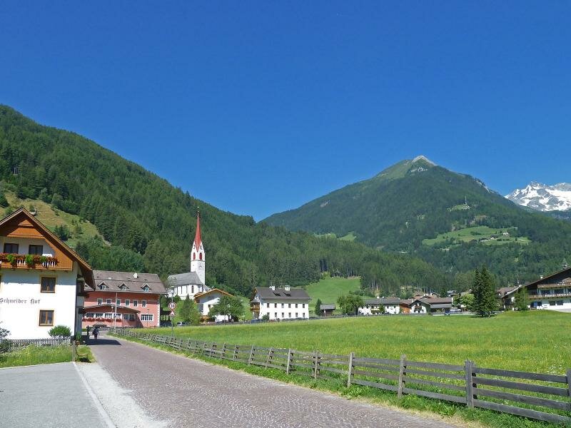
Campo Tures is the main village of the Valle di Tures. Here, you can walk along the Franziskusweg (St. Francis path) to the Riva Waterfalls or visit the impressive Tures Castle near the village. Having crossed the village centre, the cycle route runs along field paths and across the forests of the valley to Drittelsand (valley station of the Speikboden cable car) and to Lutago.
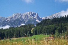
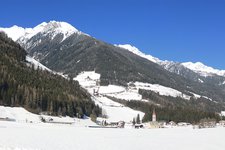
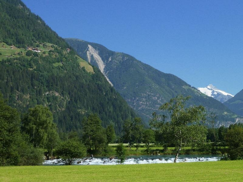
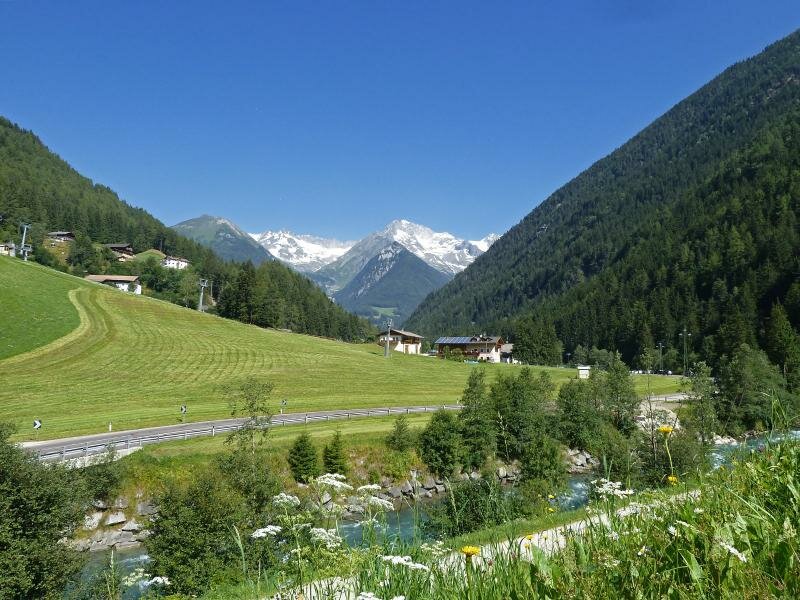
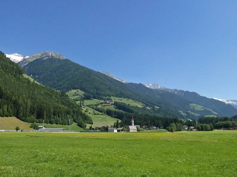
The section leading across the villages of the Valle Aurina has not been completed yet, but some parts along the way to Cadipietra and S. Giacomo in Valle Aurina are already accessible. Until Lutago the cycle path is almost flat but from here on you will need to cover some metres of elevation gain. However, our effort is definitely rewarded with the wonderful surrounding mountain landscape. Those who would like to proceed to the end of the valley, can continue along the road of the valley to Casere near Predoi and climb up to the Holy Spirit Church at 1,630 m a.s.l. The final section is unpaved.
Connection to other cycle routes:
- Pusterbike Cycle Path (continuation, Brunico towards San Candido and Lienz)
- Pusterbike Cycle Path (continuation, Brunico towards Fortezza and Bressanone)
-
- Starting point:
- Brunico, old town (835 m a.s.l.)
-
- Overall time:
- 01:30 h
-
- Total route length:
- 21,1 km
-
- Altitude:
- from 820 m to 989 m
-
- Altitude difference (uphill | downhill):
- +175 m | -10 m
-
- Signposts:
- Pusterbike Tures and Aurina valleys
-
- Destination:
- Campo Tures (865 m asl), Casere (1,600 m a.s.l.)
-
- Track surface:
- mostly asphalted cycle path, sections with gravel surface, farm- and byroads
-
- Recommended time of year:
- Jan Feb Mar Apr May Jun Jul Aug Sep Oct Nov Dec
-
- Download GPX track:
- Pusterbike Cycle Path of the Tures and Aurina valleys