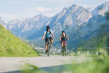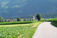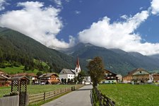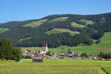
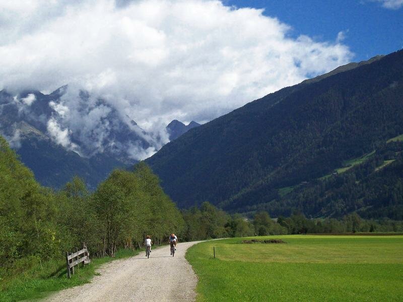
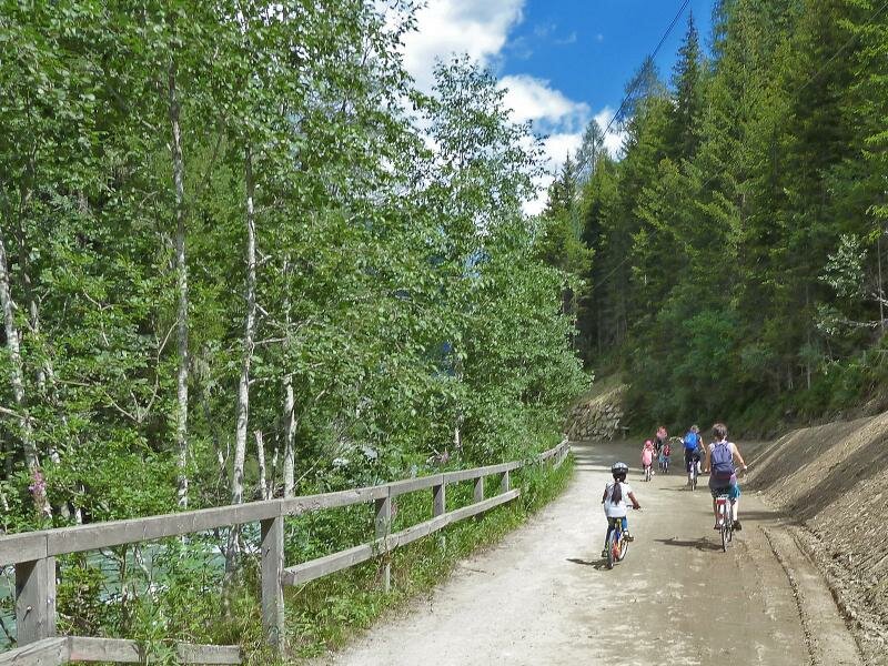
The side valleys of the Val Pusteria offer great cycle paths as well
Image gallery: More cycle routes in the Val Pusteria
PLEASE NOTE: THE CYCLE PATHS IN THE SIDE VALLEYS OF THE VAL PUSTERIA ARE CURRENTLY NOT PASSABLE DUE TO WINTERLY CONDITIONS.
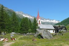
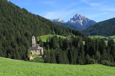
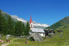
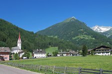
Valle di Anterselva
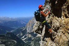
The entrance to the valle di Anterselva lies near the village of Valdaora. The cycle path starts near Rasun di Sotto at 1,050 m a.s.l. and follows the course of the Rio di Anterselva, passing Rasun di Sopra and Anterselva di Sotto and di Mezzo, before reaching the small hamlet of Anterselva di Sopra at 1,400 m a.s.l. Mountainbikers can continue along the Franzosensteig, a 4-km long itinerary with an average grade of 8%, which takes them to the lago di Anterselva at 1,650 m a.s.l. Road cyclists can proceed along the road up to passo Stalle and further.
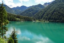
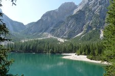
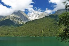
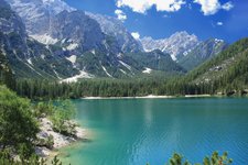
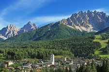
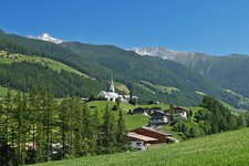
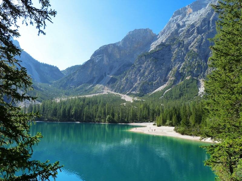
Valle di Braies
The Pusterbike cycle path branches off between Monguelfo and Villabassa. Initially, the route runs across the valley for some kilometres and then proceeds along forest and secondary paths to the village of Braies di Fiori. Here, at the fork, you can either take the path on the left to Prato Piazza or the itinerary on the right to lake Braies. The asphalt road to the lake is open to traffic. Mountain bikers can reach the lake by cycling along forest paths paralleling the road of the valley. On the 5-km long itinerary from Braies di Fuori onwards you need to tackle 300 metres of elevation gain.
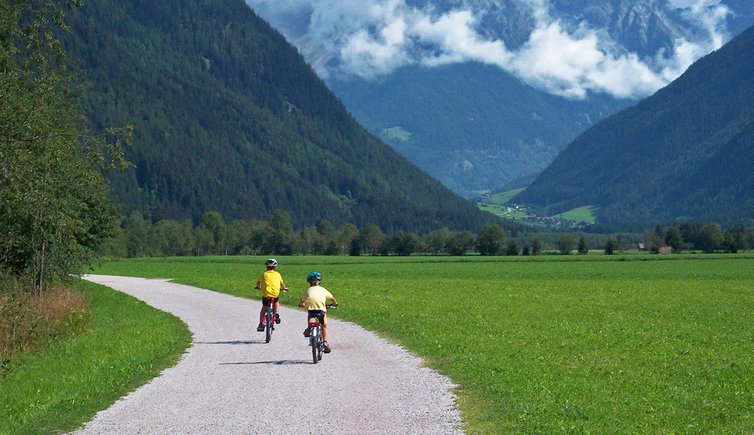
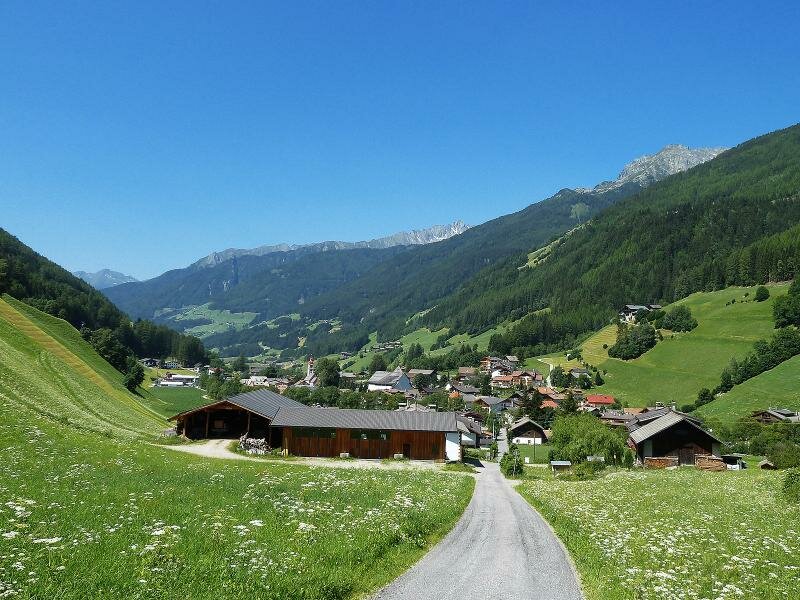
Aurina valley
The well-known Pusterbike Cycle Path from Brunico to Campo Tures leads into the Valle Aurina. From Campo Tures onwards, however, you can follow a not always marked cycle path in some sections. Many sections, however, are accessible and the unfinished parts can be avoided by taking the main road through the valley or the paralleling forest or secondary path. The 28-km long itinerary from Campo Tures (900 m a.s.l.) to the Holy-Spirit-Church in Casere (1,600 m a.s.l.) presents a significant elevation gain.
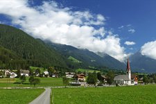
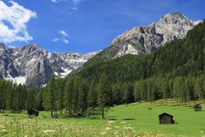
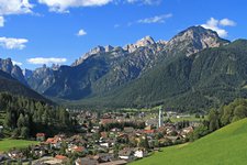
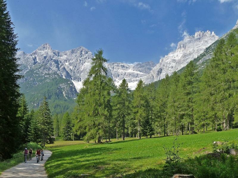
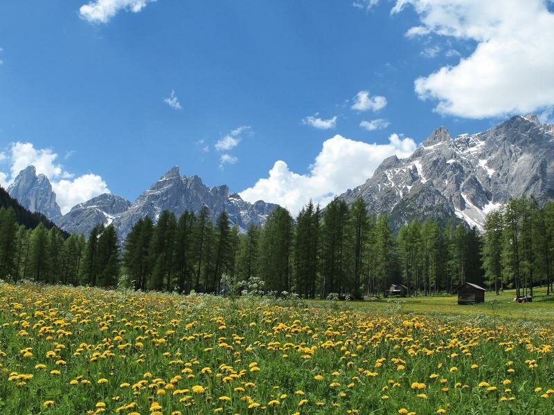
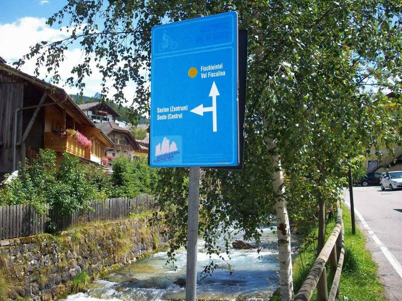
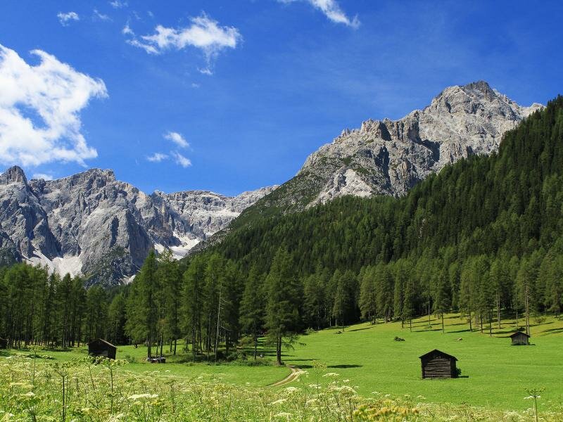
Valle di Sesto and Val Fiscalina
An easy and relaxing cycle path connects San Candido to the Valle di Sesto. This mainly unpaved itinerary paralleling the brook and the road proceeds slightly uphill to Sesto (San Vito). From here onwards, you can take a wonderful path through the larch meadows to the Val Fiscalina. From the Hotel Dolomitenhof to the rif. Fondovalle hut you will need to tackle some climbs. As the path gets more challenging from Sesto onwards, it should be covered only by mountain bikers. The overall route from San Candido to the end of the valley is only 13 km long and has an elevation gain of 450 metres. Between Sesto and San Candido starts a path to the Valle Campo di Dentro and to the famous rifugio Tre Scarperi at 1,635 m a.s.l.
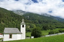
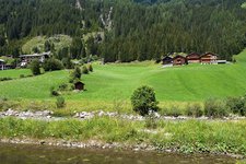
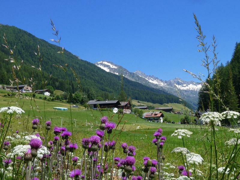
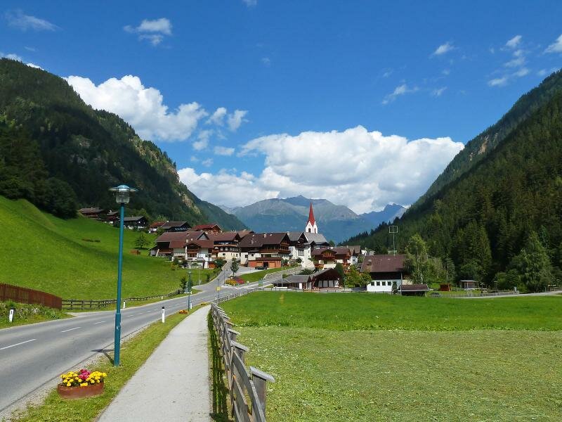
Defereggental valley
The Defereggental is not crossed by a continuous cycle path - however, there are several longer sections of cycle paths. Usually, these sections are covered on partially unpaved or paved forest and secondary paths paralleling the Schwarzach brook or running along the edge fo the forest and connect Erlbach to St. Jakob in Defereggen and the Schmittenkirchlein church near Plon to Hopfgarten. The other sections follow small roads or the road Defereggental-Landesstraße which starts in Erlbach and climbs up to passo Stalle.
Landro valley
Mountainbikers should not miss the cycle route from Dobbiaco to Cortina d'Ampezzo via Passo Cimabanche/Sorabances. This itinerary runs along a former railway line across a stunning landscape in the Dolomites. For further information click on this link.