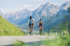
The tour takes from Dobbiaco in the Upper Val Pusteria through the Landro valley to Cortina d’Ampezzo
Image gallery: MTB tour from Dobbiaco to Cortina d’Ampezzo
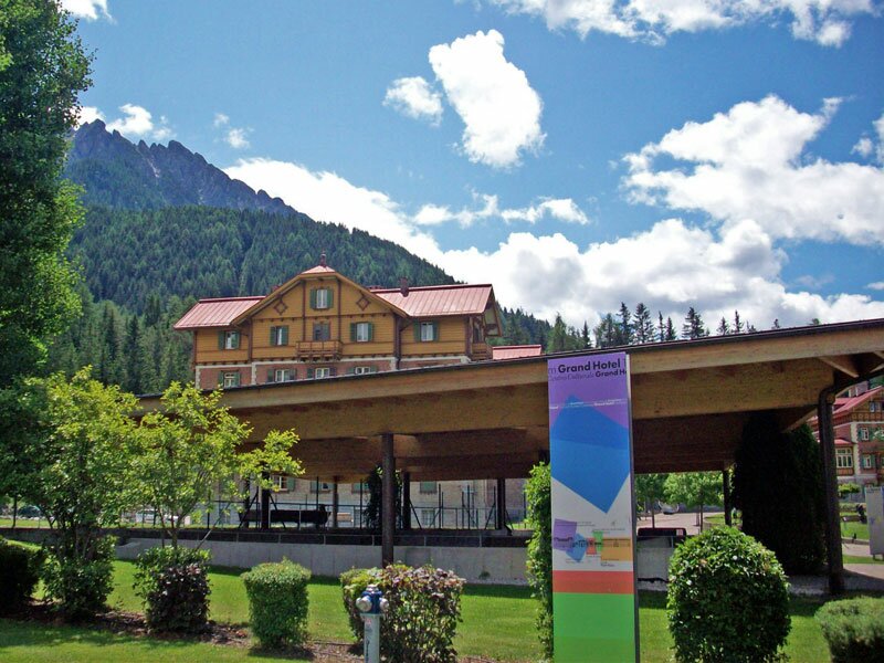
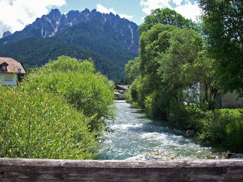
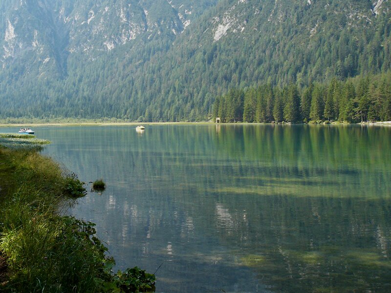
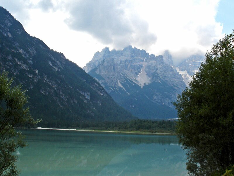
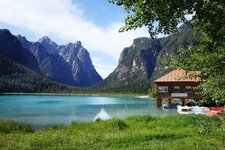
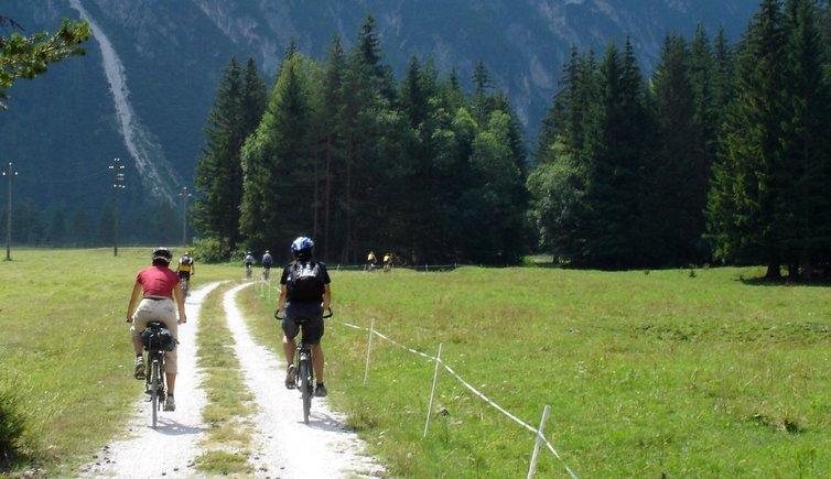
We start our mountain bike tour at 1,240 m a.s.l. near the train station in Dobbiaco, opposite of the Grand Hotel culture centre. Following the signpost leading to Cortina we cycle southwards along the upper reaches of the Rienza river, first on an asphalted road, later on a well maintained forest road. After some minutes we reach Lake Dobbiaco (1,176 m) in the Val di Landro, which reflects the beautiful surrounding mountain panorama. Continuing our tour upwards the river, a trail turns off to a cemetery, where many soldiers died in WWI are buried.
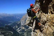
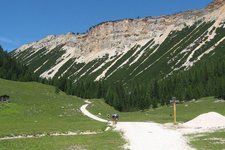
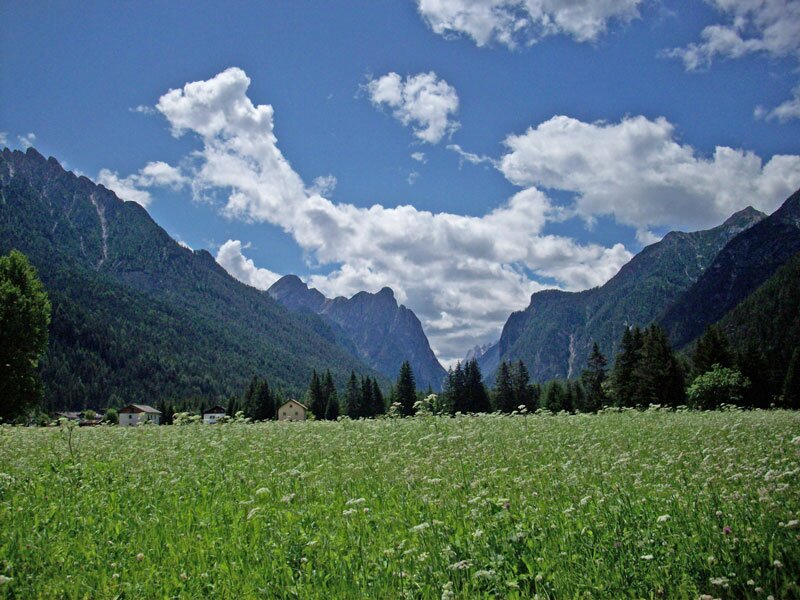
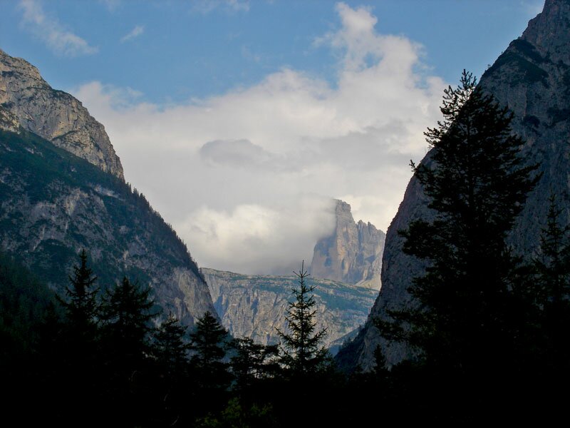
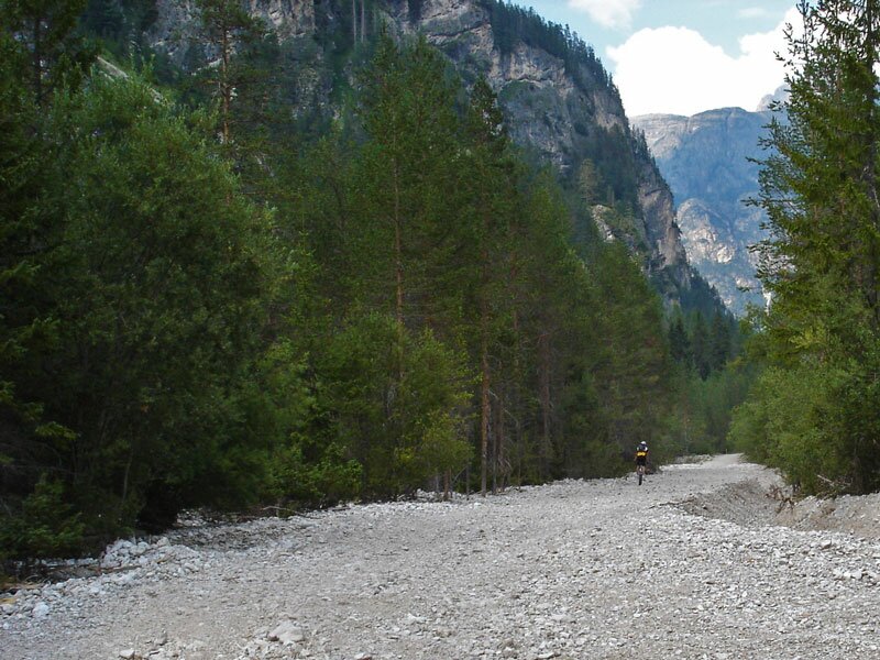
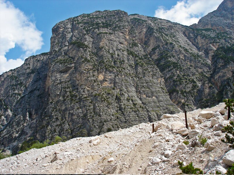
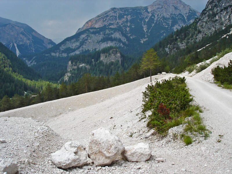
After some kilometres we see the famous Three Peaks of Lavaredo on the east side of the valley. Unfortunately, this section leads along the Alemagna road and is not as quiet as we hoped. However, after Lake Landro (1,406 m) the track leads more and more away from the road again. The gravel on the forest road does not always make it very easy to cycle.
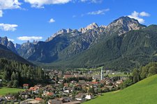
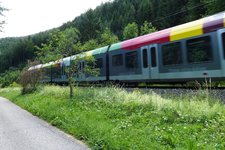
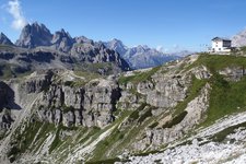
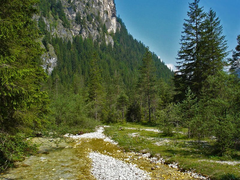
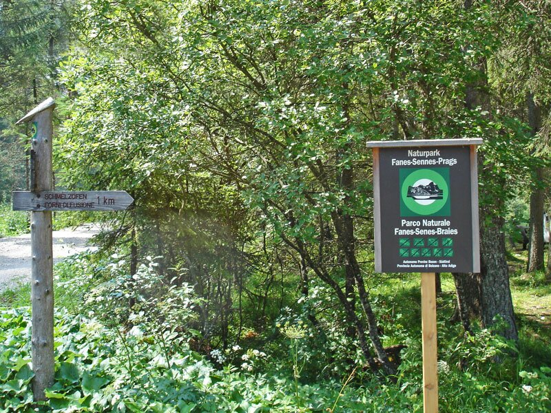
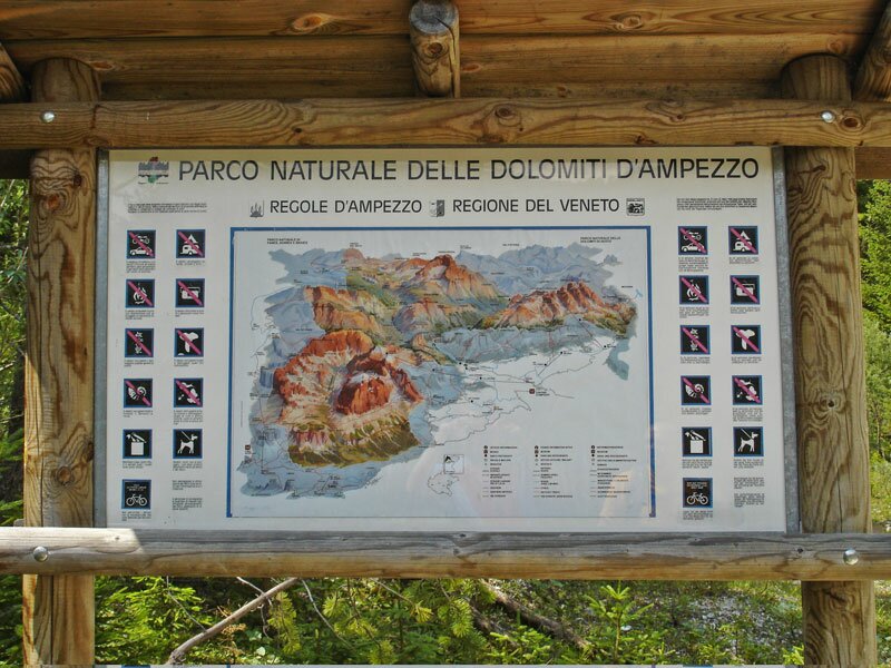
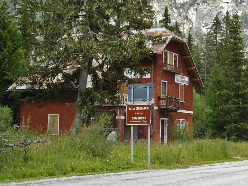
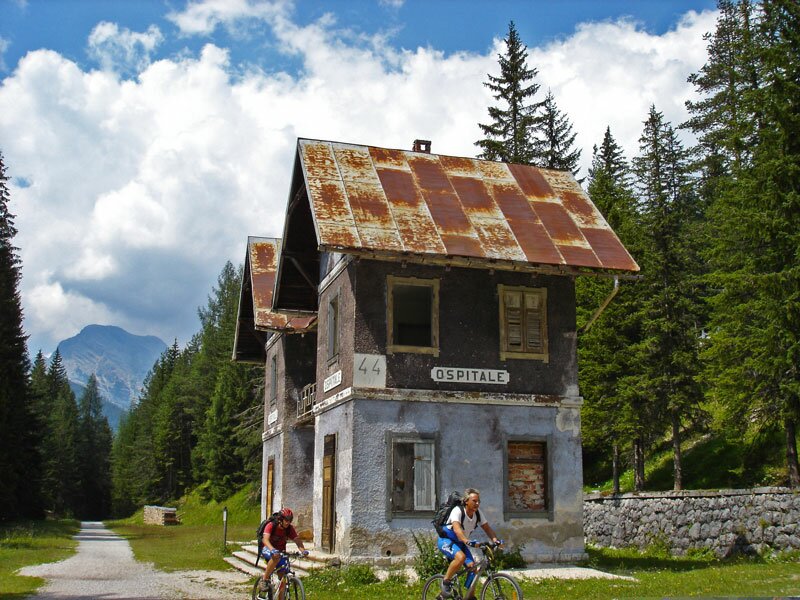
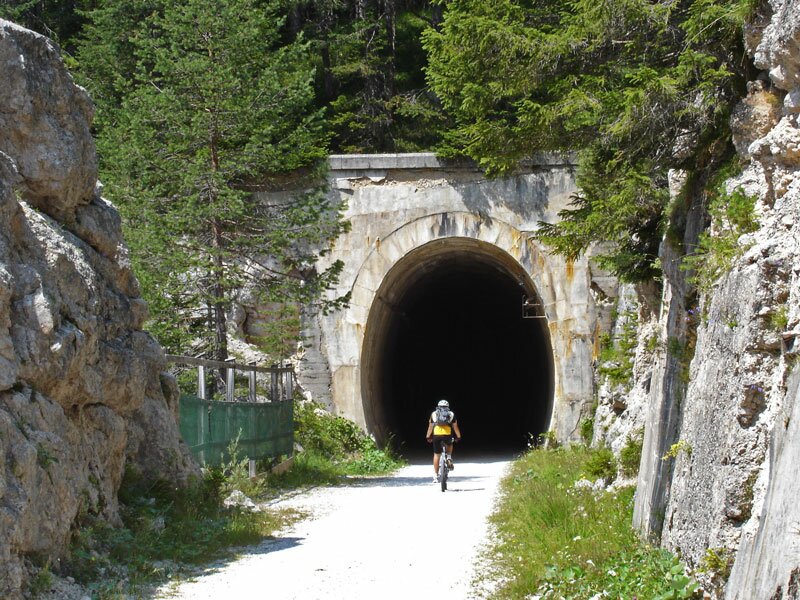
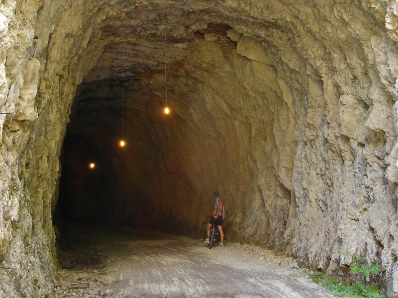
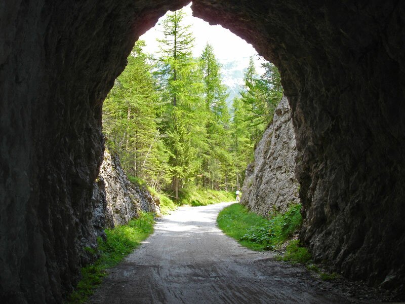
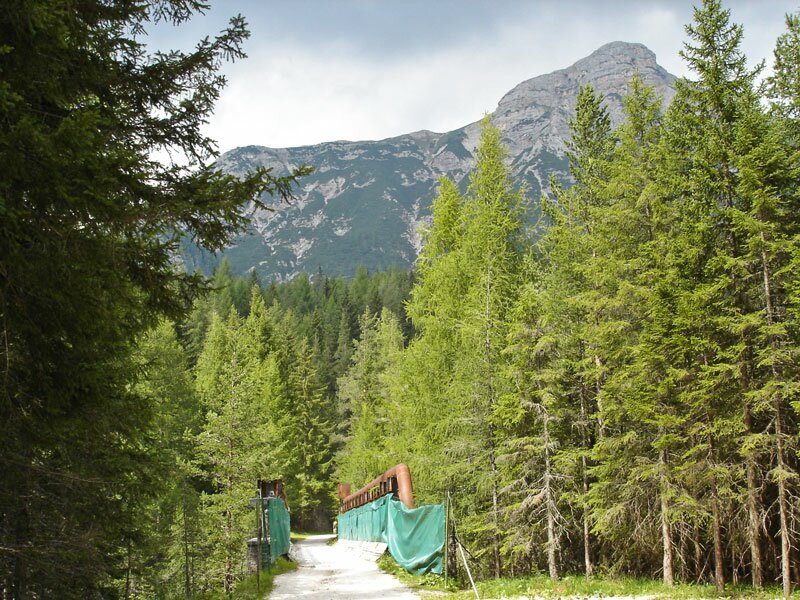
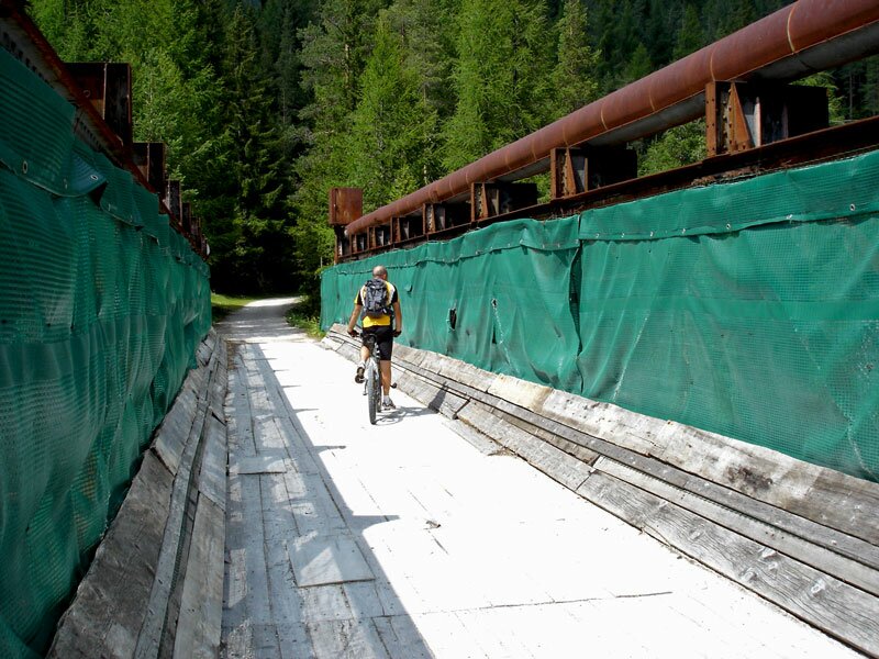
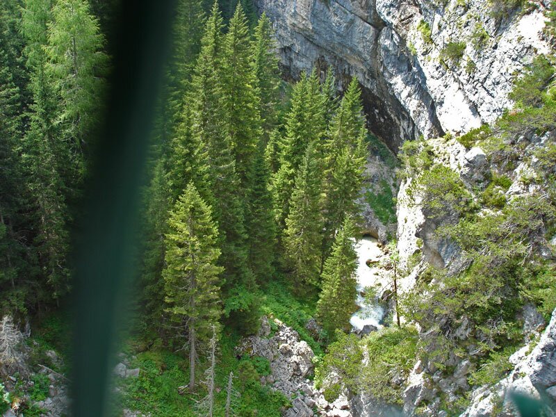
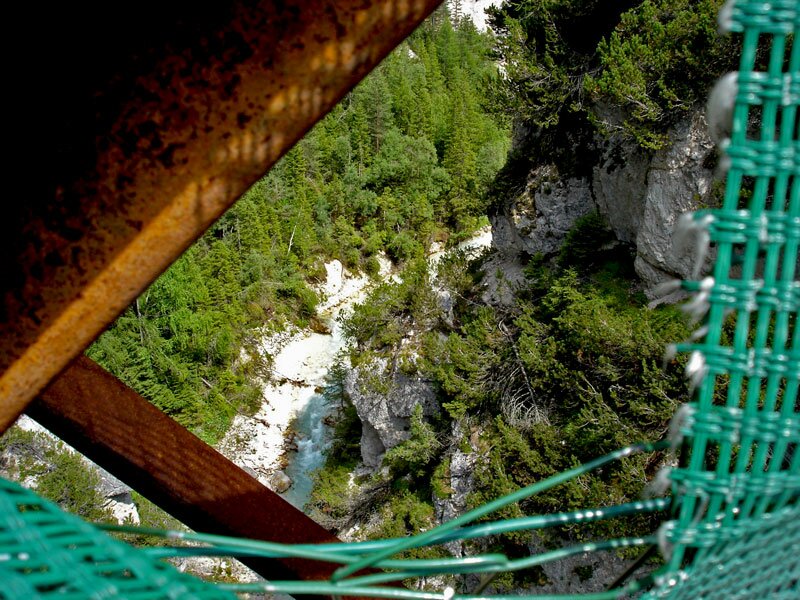
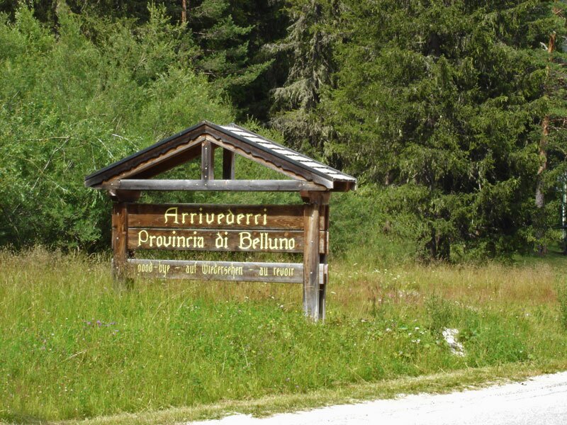
The following ascent is steady and gentle. After about 18 km we reach Passo Cimabanche, a mountain pass which separates the municipality of Dobbiaco from Cortina d'Ampezzo, South Tyrol from Veneto, and mostly German-speaking people and Ladins. On our left we see the Sesto Dolomites with the Three Peaks Nature Park, while the Fanes-Senes-Braies Nature Park is on our right and in the south the Ampezzo Dolomites Nature Park is visible. From here, we continue our tour downwards on an old railway line, leading through dark tunnels and over spectacular viaducts, passing several abandoned railway stations. The railway line Dobbiaco-Cortina-Calazo operated from 1921 until 1964.
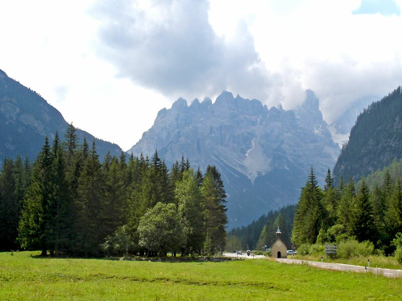
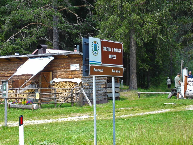
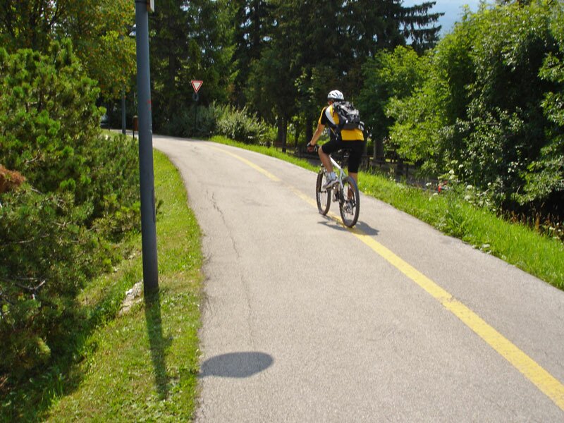
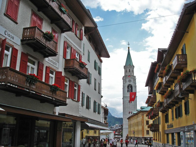
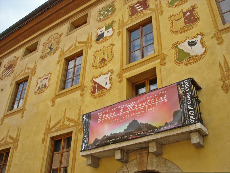
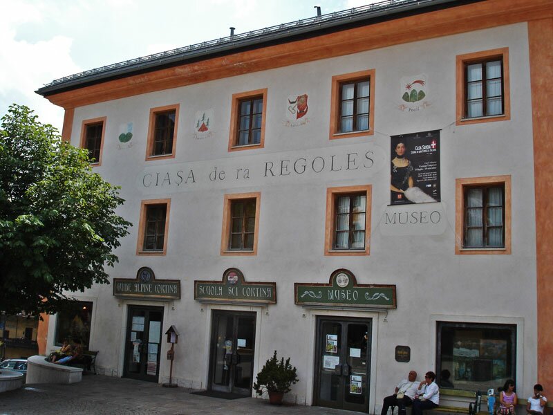
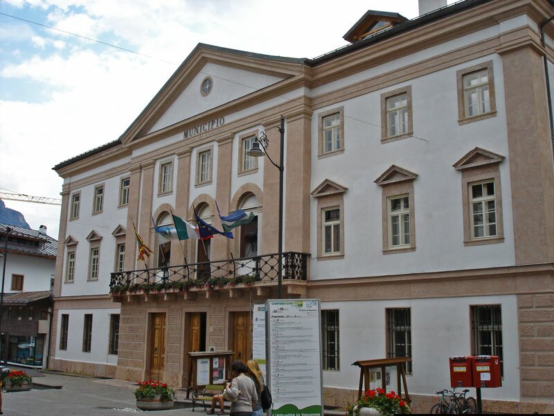
Reached the moon-like landscape of the Ampezzo Dolomites, the Veneto Dolomites are not very far away anymore. Finally arrived in Cortina d'Ampezzo, we enjoy cycling through this beautiful small town although we have to be aware of many pedestrians. After a delicious lunch we cycle the same way back to Dobbiaco in South Tyrol, enjoying once again the beautiful landscape.
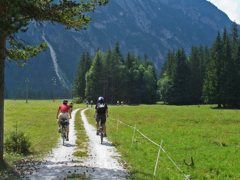
Please note: this bicycle tour requires no particular effort and can also be done by children. However, in Veneto the track is not everywhere well maintained and secured! A bus runs on this route and you can rent a bicycle in Dobbiaco, Cortina and on Passo Cimabanche. 90% of the track are not asphalted, mountain bikes are requested!
Author: AT
-
- Starting point:
- Dobbiaco, railway station
-
- Overall time:
- 03:55 h
-
- Total route length:
- 60,4 km
-
- Altitude:
- from 1.209 m to 1.535 m
-
- Altitude difference (uphill | downhill):
- +649 m | -649 m
-
- Route:
- Dobbiaco - Dobbiaco Lake - Val di Landro - Lake Landro - Cimabanche Pass - Cortina d'Ampezzo - Dobbiaco
-
- Destination:
- Cortina d'Ampezzo, corso Italia
-
- Track surface:
- Gravel 90%, asphalt 10%
-
- Recommended time of year:
- Jan Feb Mar Apr May Jun Jul Aug Sep Oct Nov Dec
-
- Download GPX track:
- MTB tour from Dobbiaco to Cortina d’Ampezzo
We highly recommend checking the weather and trail conditions in advance and on site before starting this tour.