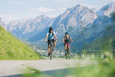
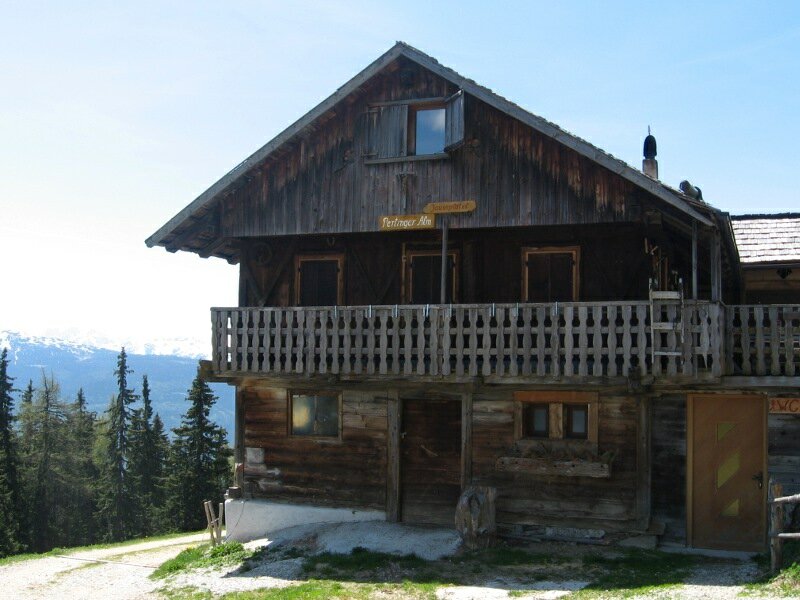
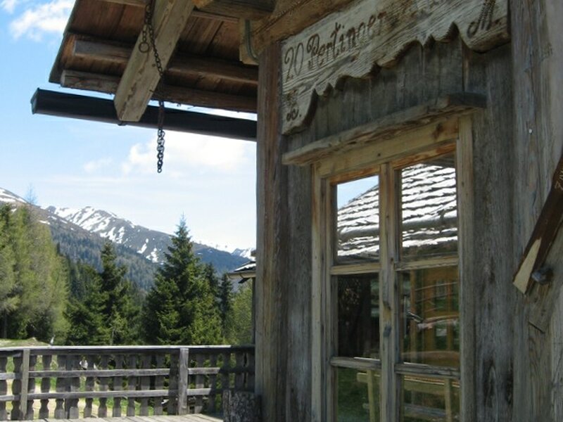
The tour proceeds from the sun village of Terento to the Malga Pertinger mountain hut, a well-known rest point high above the Val Pusteria valley
Image gallery: MTB tour to the Malga Pertinger mountain hut
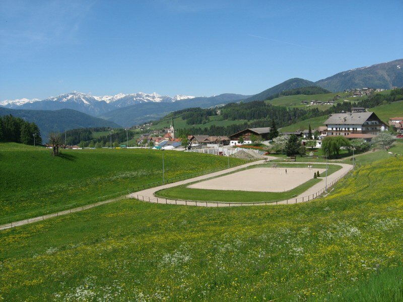
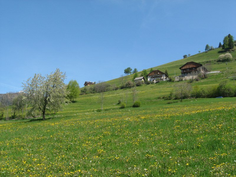
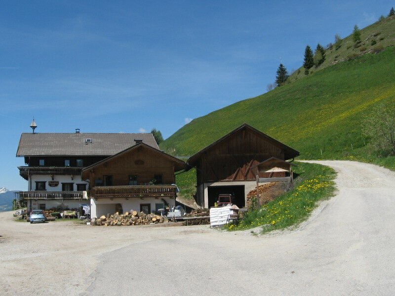
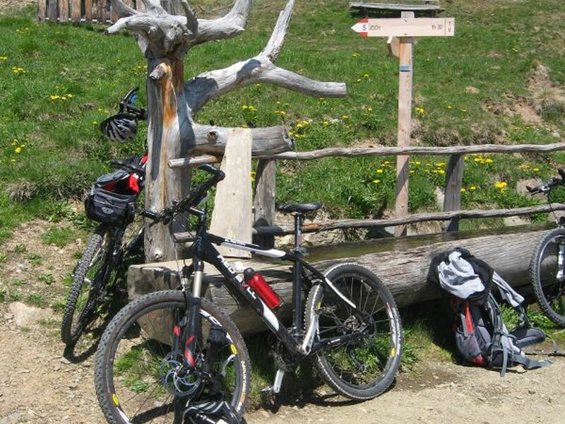
Our MTB tour starts at the parking space in the village centre of Terento (1,210 m a.s.l.) near the parish church. The trail leads first uphill towards east, past the village and the riding stable. Then we cycle slightly downhill and after a wide right turn and a bus stop we take the small mountain road on the right (signpost "Nunewieser - Pertinger Alm") leading steadily uphill.
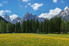
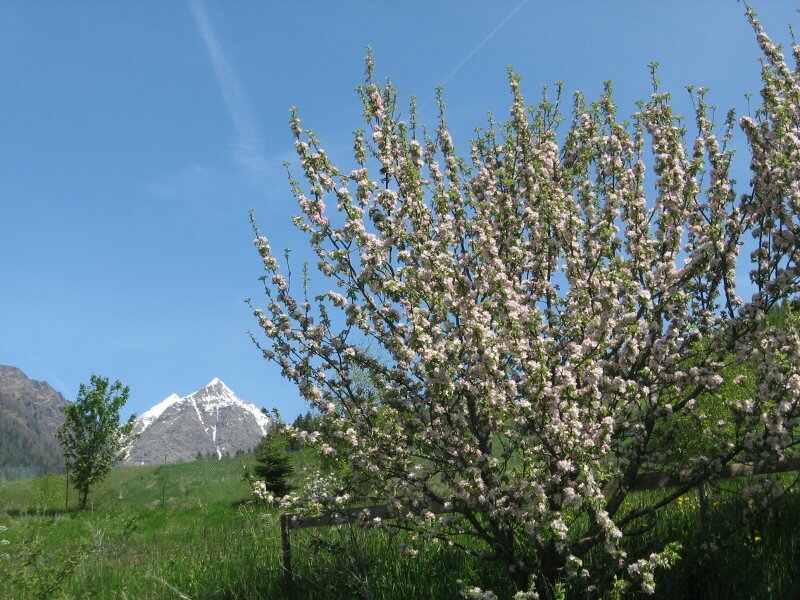
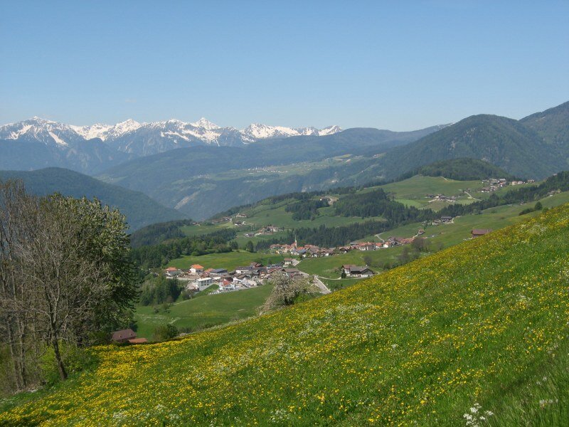
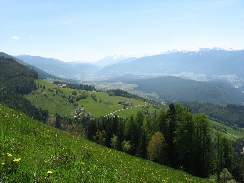
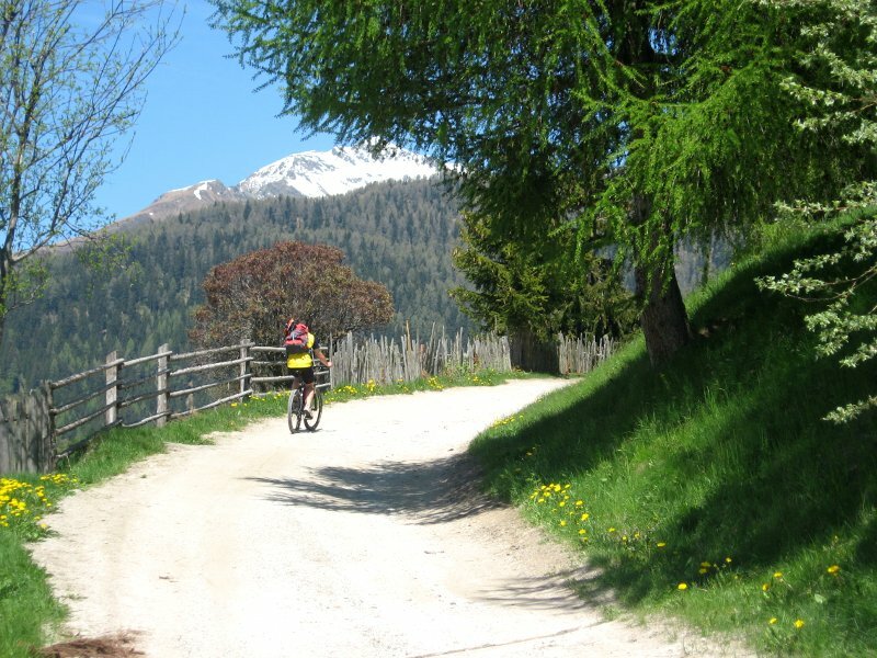
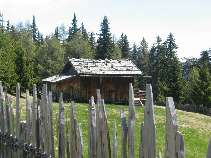
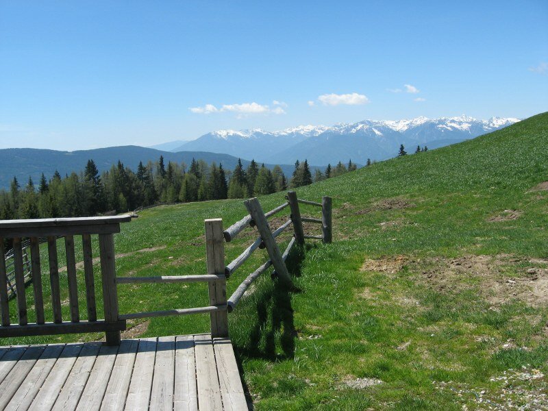
From this road we enjoy a beautiful view on Terento at our feet and the other villages along the Val Pusteria Sun Road. On the opposite side of the valley there are the Plan de Corones, a famous hiking and skiing area, and the peaks of the Dolomites. Past some bends we reach the Malga Nunewieser, a farm and rest point at 1,530 m. The asphalt road ends at the farm and a wide forest path continues to a parking space and a barrier - don't branch off at any point, stay on this path! Cycling through the shady forest we enjoy the views on the green valley.
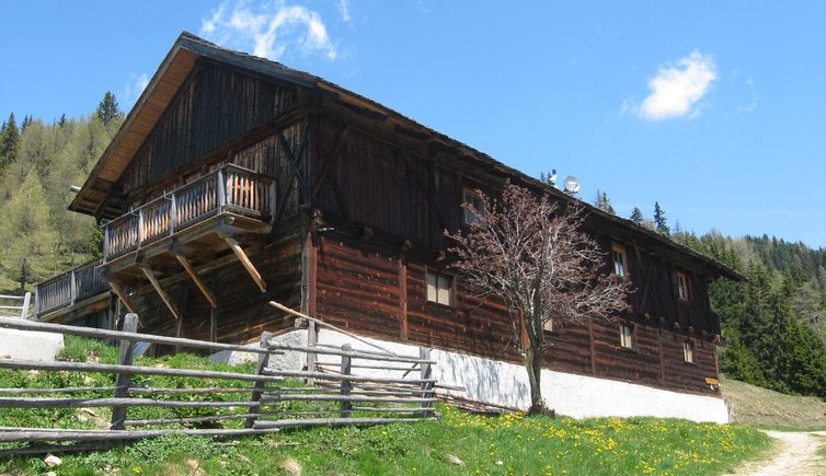
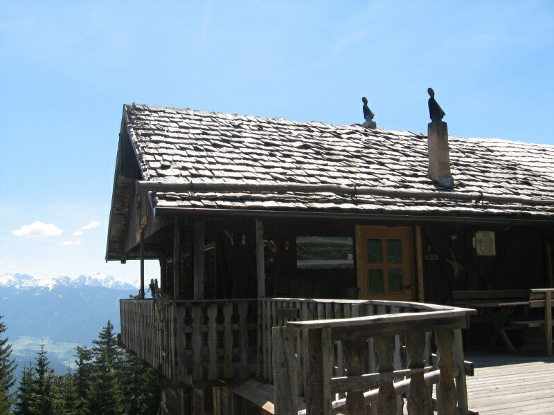
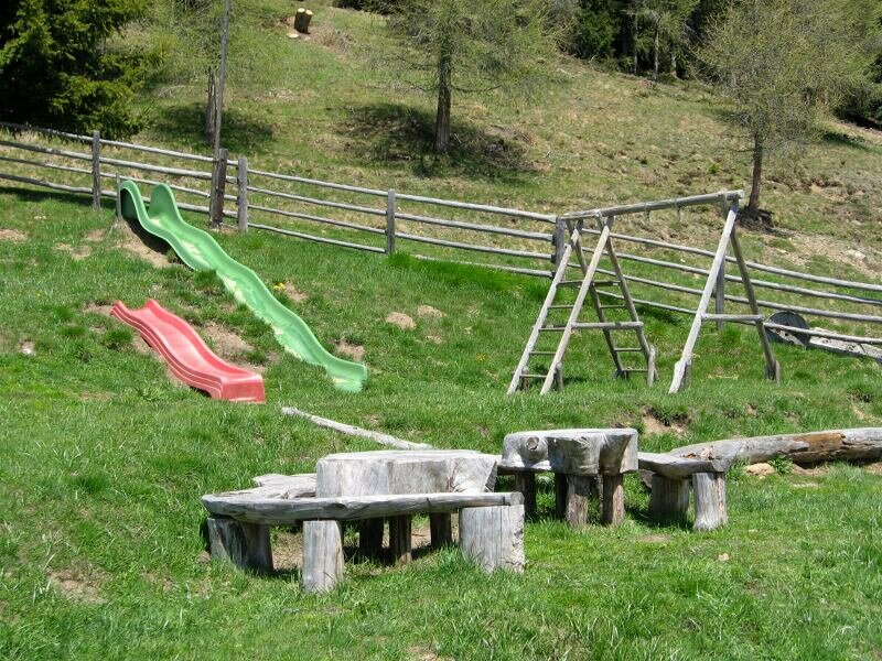
After half an hour (from the Malga Nunewieser) we reach the Malga Pertinger (1,861 m), our destination. It is called "Lower Malga Pertinger" because the second hut - located slightly higher - is known as "Upper Malga Pertinger". The hut is also a rewarding excursion destination for families with children in summer and offers a sledge run in winter. Our MTB tour can be classified as easy and can be done by beginners with a good physical condition. The lower part of the tour is characterised by beautiful meadows and farmsteads. The way back follows the same route.
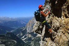
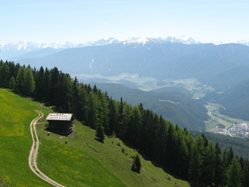
Please note: if you want to extend this MTB tour, you can start in any village along the cycle track of the lower Val Pusteria valley, e.g. in Vandoies or Chienes and cycle uphill to Terento, our starting point. In the upper part the tour can be extended to the Upper Malga Pertinger, a mountain hut at 2,060 m. You aren't tired so far? So try to climb the 2,405 m high Amjoch saddle (1 additional hour of walking time) - true to the motto "Bike & Hike" - before heading back into the valley. The Amjoch is a beautiful panoramic mountain.
Author: BS
-
- Starting point:
- Terento, parking space in the village centre
-
- Overall time:
- 02:15 h
-
- Total route length:
- 17,8 km
-
- Altitude:
- from 1.209 m to 1.867 m
-
- Altitude difference:
- +658 m | -658 m
-
- Route:
- Terento - Malga Nunewieser mountain hut - Malga Pertinger mountain hut and back
-
- Signposts:
- 5
-
- Recommended time of year:
- Jan Feb Mar Apr May Jun Jul Aug Sep Oct Nov Dec
-
- Download GPX track:
- MTB tour to the Malga Pertinger mountain hut
If you want to do this tour, we suggest you to check the weather and trail conditions in advance and on site before setting out.