This mountain bike tour leads us to Passo Monte Croce (1,636 m a.s.l.) at the border with Venice
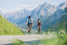
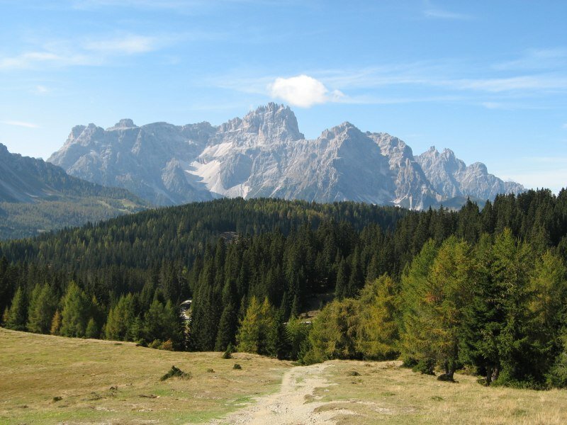
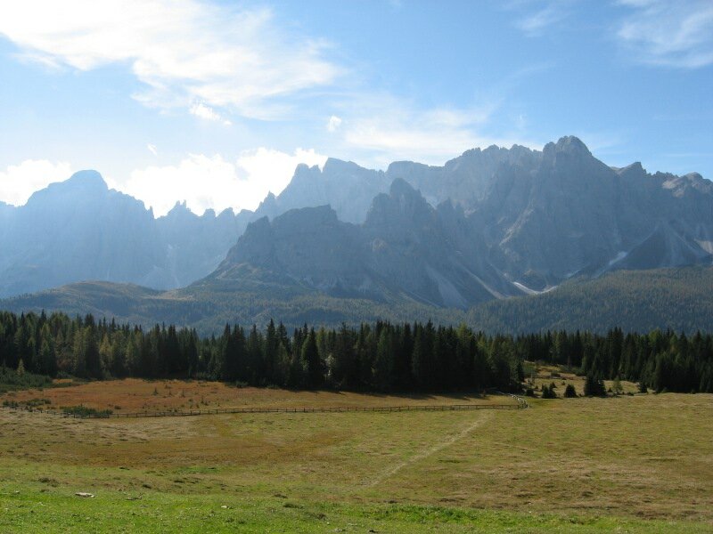
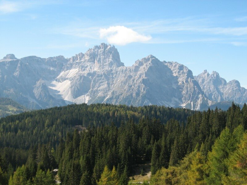
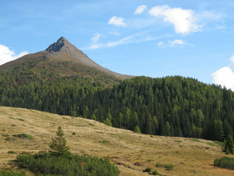
Image gallery: MTB tour Rif. Malga Nemes - Passo Monte Croce
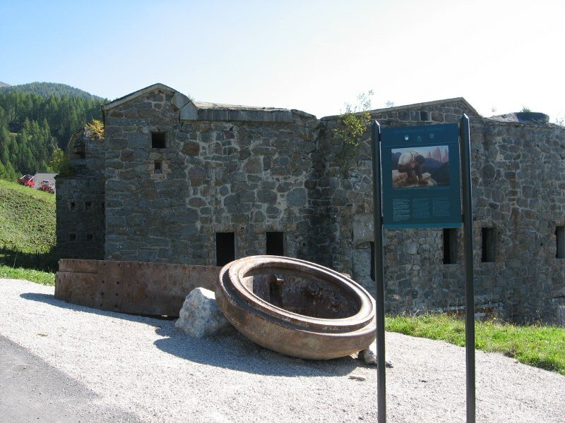

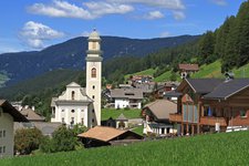
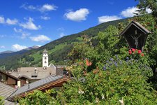
We begin our itinerary at the railway station of San Candido (1,175 m a.s.l.) and follow the signposts of the cycle path towards Sesto. Initially we take a large, slightly uphill forest road through the valley and then we continue cycling along the shady cycle path to Sesto (do not branch off towards Innerfeldtal!). Once passed the artificial lake of Sesto near Schmieden we reach the village of Sesto. At the village centre we turn left towards the church and take the road running above the village. Here we enjoy a fantastic view of the valley. We tackle the numerous hairpin bends on the road to the "Panorama" restaurant/Monte di Mezzo (Mitterberg).
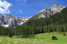
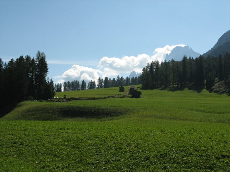
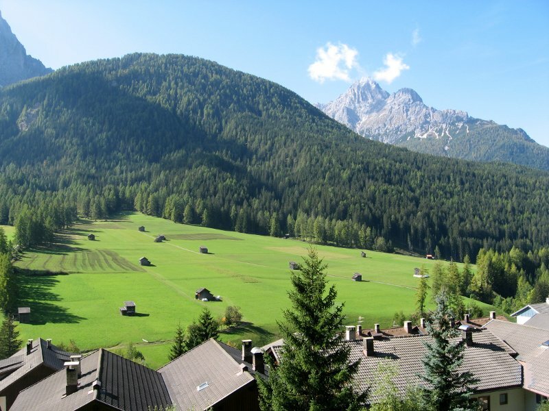
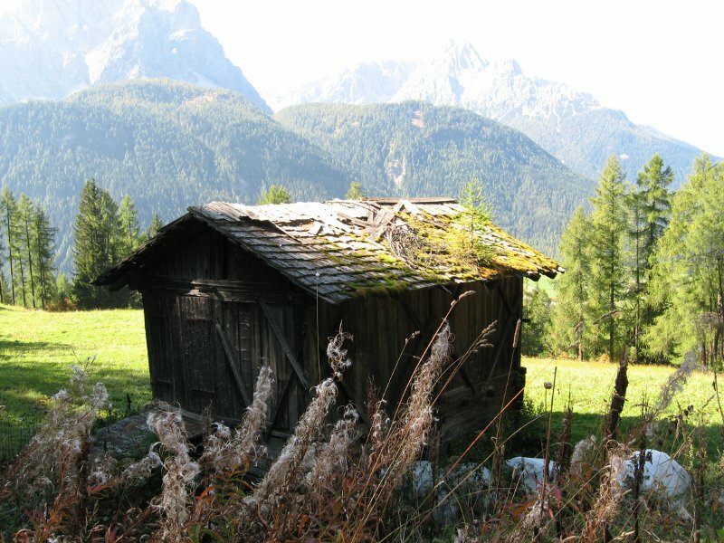
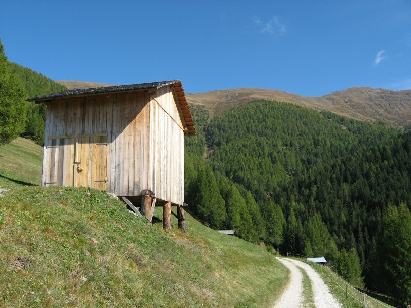
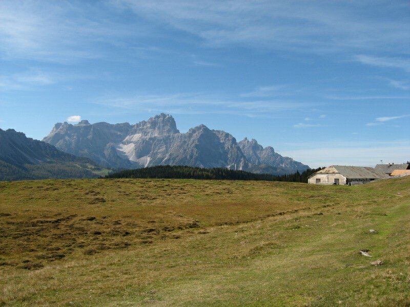
We ride past Monte di Mezzo fortress and continue cycling towards the Rifugio Alpe Nemes. Steep and less steep sections alternate along this hilly itinerary. In the spots where the path leaves the shady forests we enjoy a wonderful view of the Sesto Dolomites. Soon we arrive at the fork to malga Klammbachalm where we continue along path no. 136 to Rifugio Malga Nemes. Once past the Seikofel biotope, a stunning view of the characteristic Monte Rosso (2,390 m a.s.l.) opens up. Shortly after we arrive at Malga Nemes (1,950 m a.s.l.) and the eponymous mountain hut where we stop for a break enjoying the impressive view of the mountains of the Alta Pusteria.
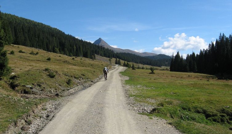
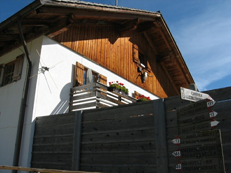
We return for 100 metres and at the fork to Kniebergsattel we follow the signposts to Malga di Coltrondo (1,879 m a.s.l.). Initially we take the road to Passo Monte Croce (Kreuzbergpass) which connects the Val Pusteria to Cadore and then we turn right and continue to follow the same signposts until we reach the pass. From there we descend to Sesto and return to our starting point along the cycle path.
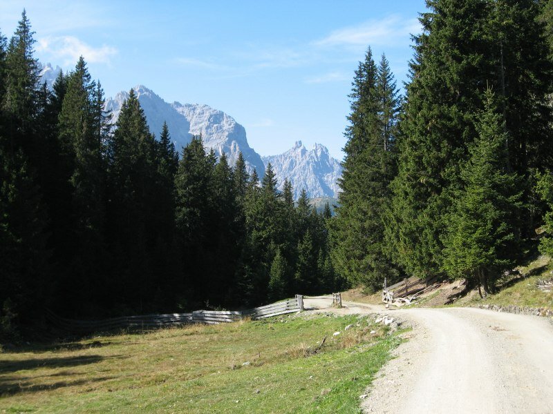
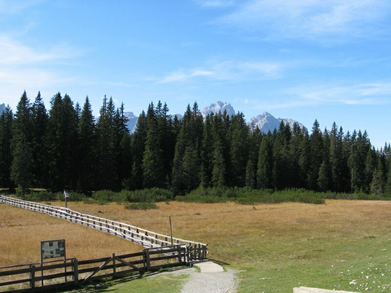
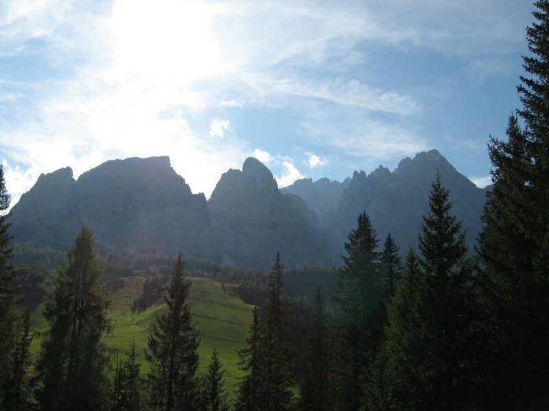
Please note: This mountain bike tour delights cyclists with marvellous views of the Sesto Dolomites on the opposite side of the valley. Although the total elevation gain is not excessive, the steepness of some ascents should not be underestimated. We recommend particular caution on the road from Passo Monte Croce to Sesto, as it is very popular with motorcyclists.
Date of the MTB tour: 22 September 2009
Last updated in: 2026
Author: BS
-
- Starting point:
- San Candido train station
-
- Overall time:
- 05:00 h
-
- Total route length:
- 40,9 km
-
- Altitude:
- from 1.178 m to 1.940 m
-
- Altitude difference (uphill | downhill):
- +973 m | -973 m
-
- Route:
- San Candido - Sesto - Monte di Mezzo Fortress - Rif. Malga Nemes mountain hut - Malga Coltrondo mountain hut - Passo Monte Croce - Sesto - San Candido
-
- Signposts:
- Sesto Cycle Track, no. 136, 156, 131
-
- Recommended time of year:
- Jan Feb Mar Apr May Jun Jul Aug Sep Oct Nov Dec
-
- Download GPX track:
- MTB tour Rif. Malga Nemes - Passo Monte Croce