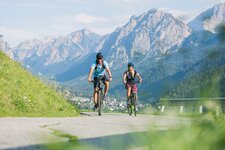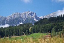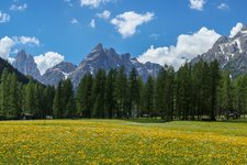
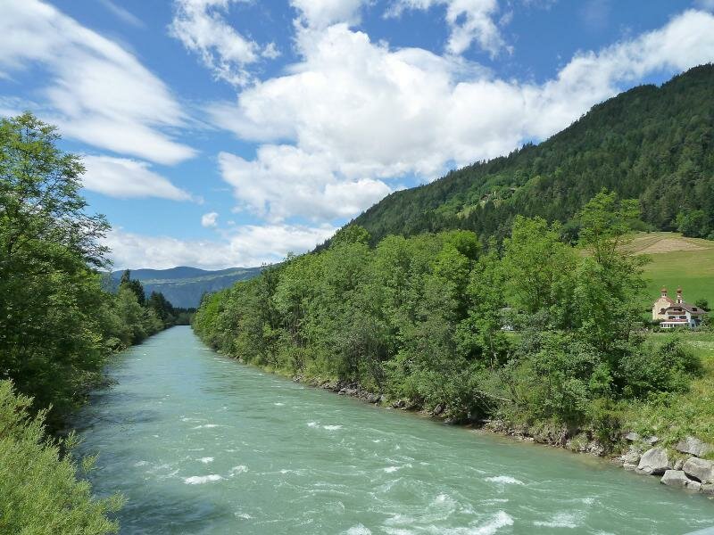
The Val Val Pusteria cycle path Pusterbike follows the course of the Rienza river between Fortezza and Brunico
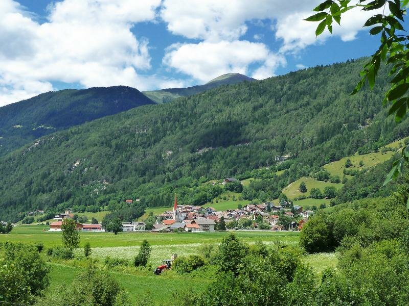
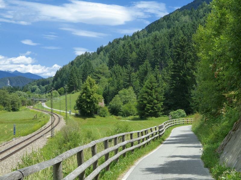
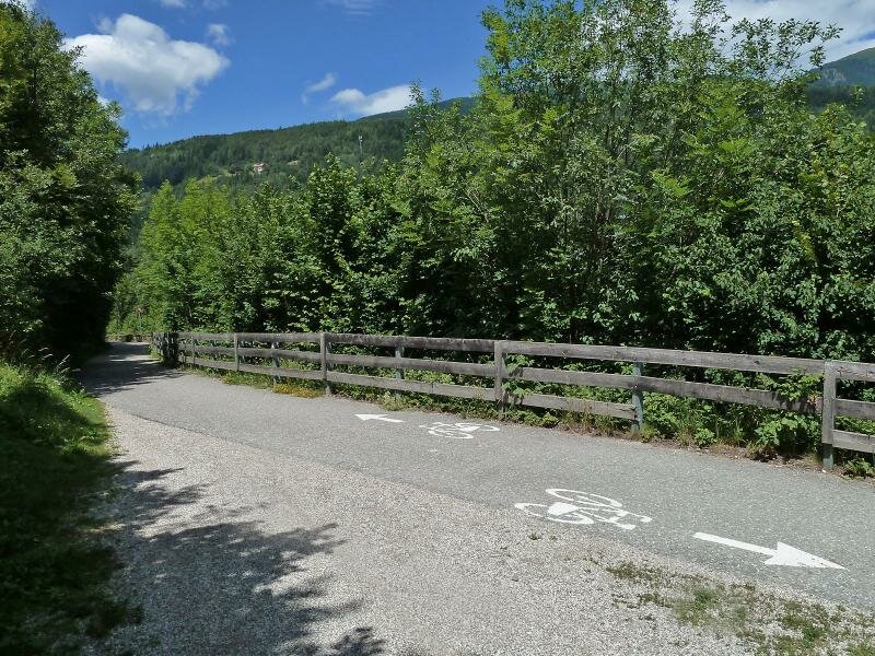
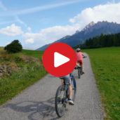
Image gallery: Pusterbike Cycle Path from Fortezza to Brunico
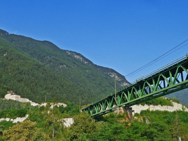
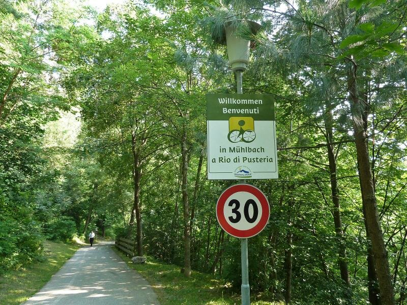
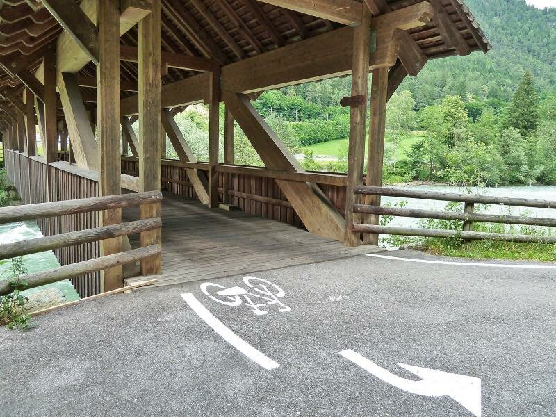

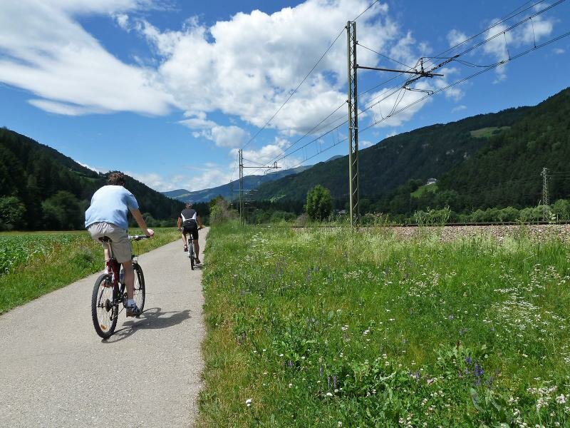
The Pusterbike cycle path branches off from the cycle path of the Valle Isarco towards east, right at the Fortezza fortress. In the initial section, the route coincides with the road across the village of Aica and after leading through an underground passage of the E66 it continues along field paths until the crossroads to Sciaves. Right before the village, it turns left and leads over a bridge crossing the E66. Then, it continues on the right to the village of Rio di Pusteria.
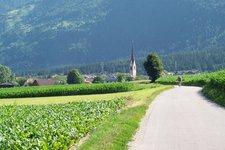
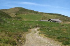
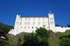
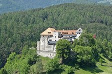
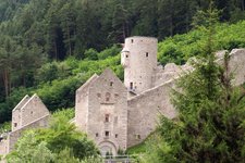
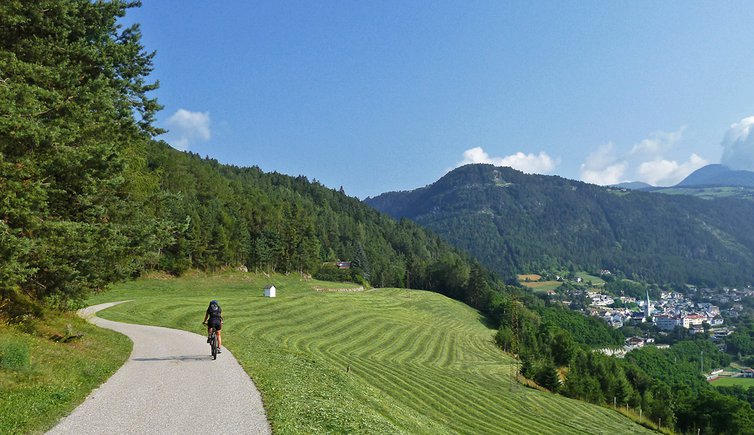
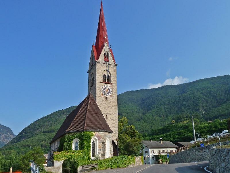
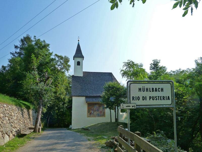
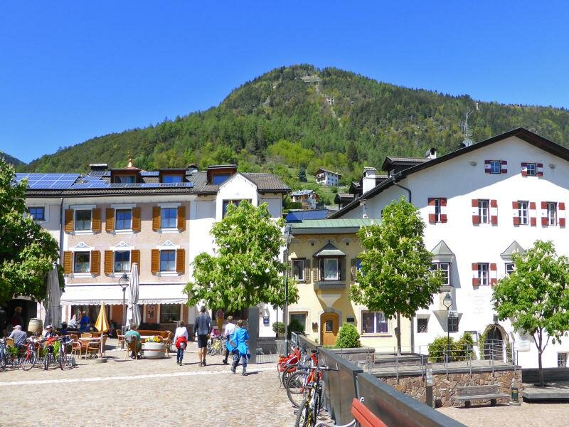
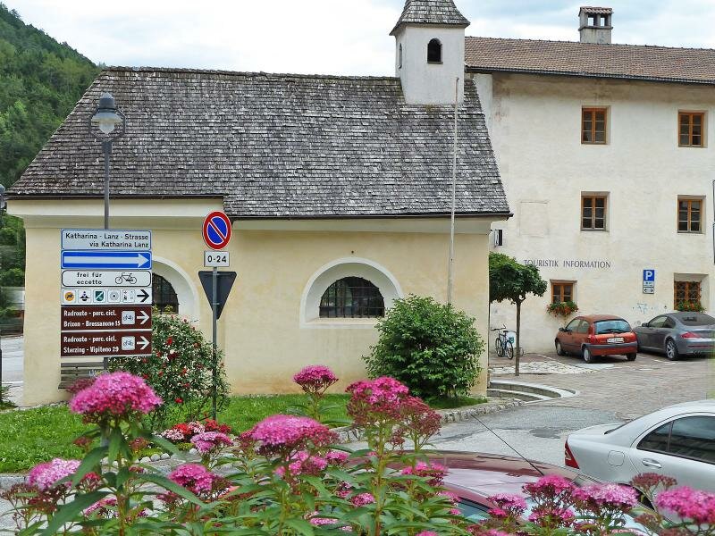
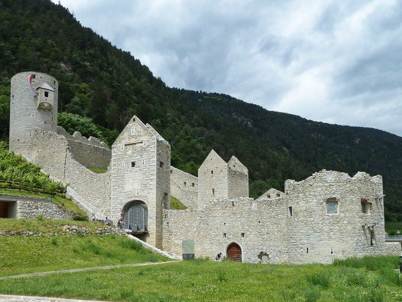
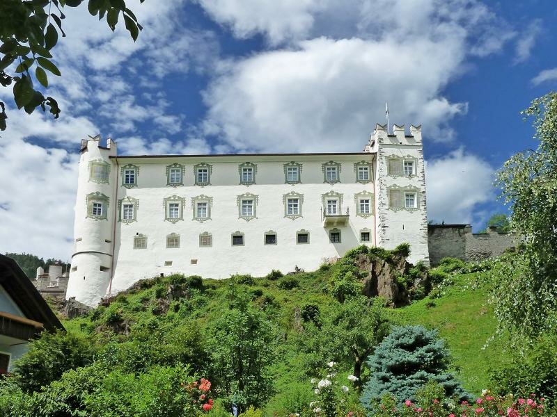
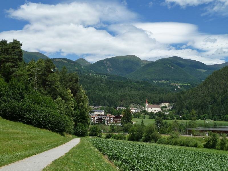
The next section of the cycle route parallels the road and leads past the rest area Lanz and through meadows and fields into the centre of Rio Pusteria. The next destination is the Rio Pusteria Fortress, where the path passes the artificial lake and proceeds under the road and then to the area of Brunico along the southern bank of the Rienza at the edge of the forest.
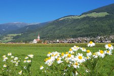
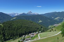
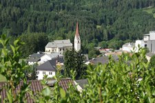
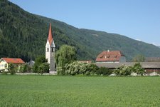
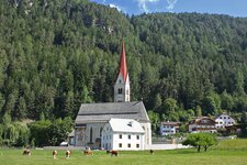
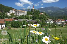
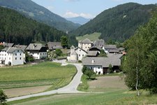
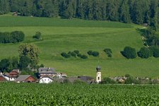
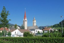
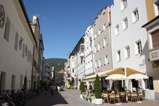
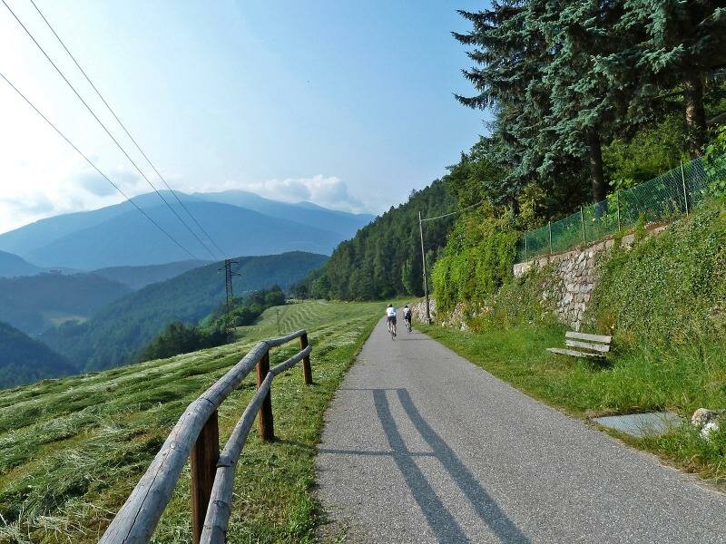
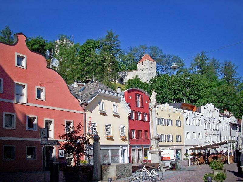
The villages of Vandoies di Sotto, Vandoies di Sopra, S. Sigismondo and Chienes are visible from the cycle path which continues to the village centre of Casteldarne. The slight ascent south of Floronzo leads to the entrance of the Val Badia. Finally, the route takes you to the small city of Brunico, (which we recommend visiting), by running along secondary paths through Floronzo and S. Lorenzo di Sebato.
Please note: from Brunico the path continues to Dobbiaco and San Candido towards east. Another route leads to the Valle Aurina in the north. On your return you can take the regional train where designated bike areas are available (limited). Otherwise you can take the Bike Shuttle.
Connections to other cycle routes:
- Valle Isarco Cycle Path (from Fortezza to Bressanone or Brennero)
- Valli di Tures e Aurina Cycle Path (from Brunico to Campo Tures)
- continuation Pusterbike Cycle Path (from Brunico to San Candido and Lienz)
-
- Starting point:
- Fortezza Fortress (730 m a.s.l.)
-
- Overall time:
- 02:30 h
-
- Total route length:
- 33,9 km
-
- Altitude:
- from 716 m to 862 m
-
- Altitude difference (uphill | downhill):
- +257 m | -155 m
-
- Signposts:
- Ciclabile Val Pusteria, Pusterbike
-
- Destination:
- Brunico (835 m a.s.l.)
-
- Track surface:
- mostly asphalted cycle path, sections along byroads
-
- Recommended time of year:
- Jan Feb Mar Apr May Jun Jul Aug Sep Oct Nov Dec
-
- Download GPX track:
- Pusterbike Cycle Path from Fortezza to Brunico