This spring hike takes us via the Castello di Casanova castle to Villa Ottone and further along the Toul Path until Campo Tures
Image gallery: Valley hike in the Valle di Tures
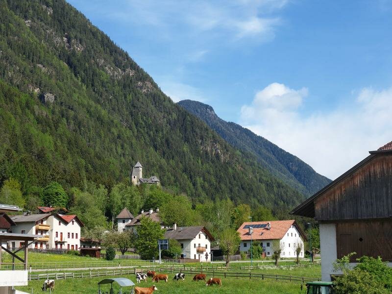
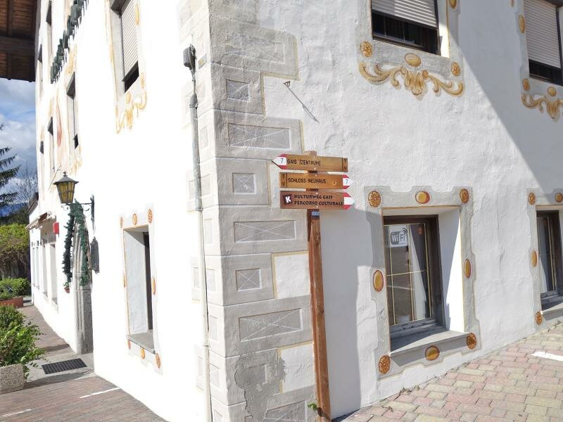
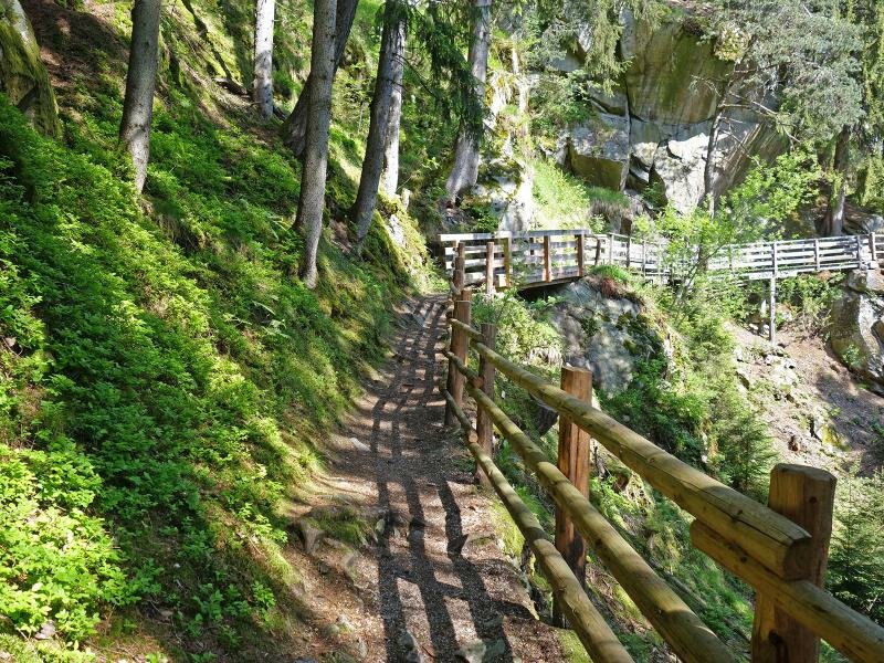
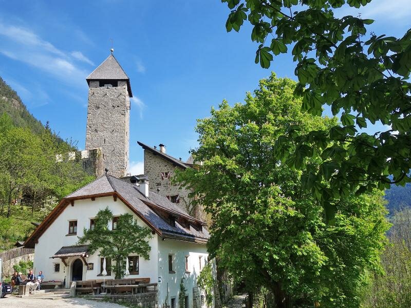
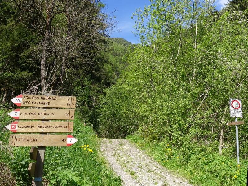
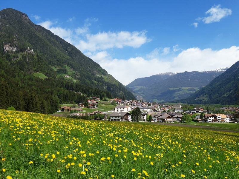
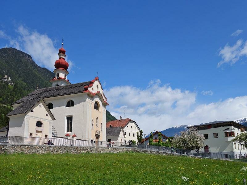
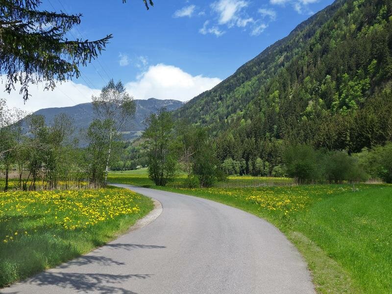
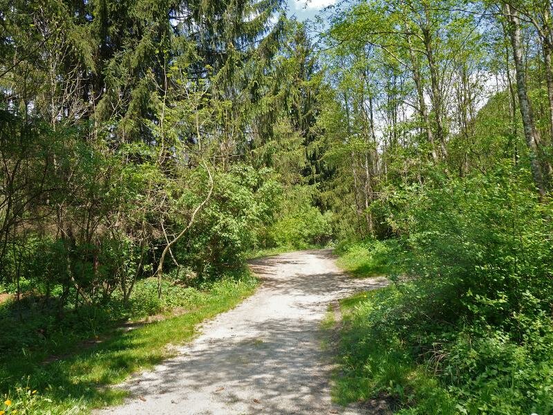
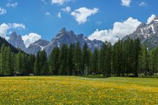
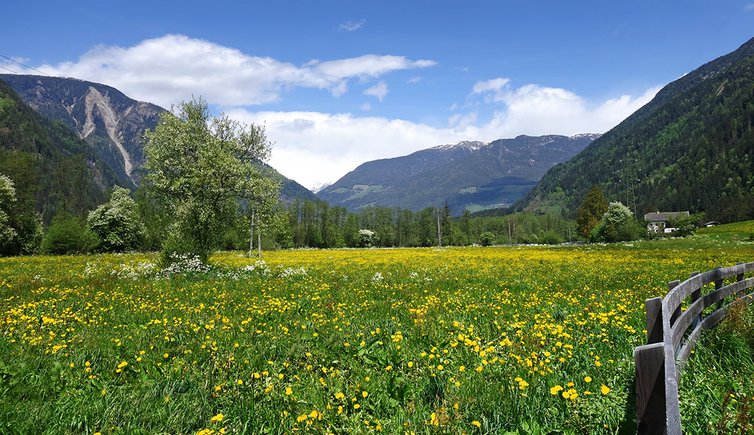
In spring the Valle di Tures valley turns into a sea of blossoms. This walking tour leads us through the green Valle di Tures valley, it is easy but with 12 km quite long. We start in Gais and follow the signpost Kulturweg and Castello di Casanova (no. 7) which proceeds slightly uphill and then along the mountain slope through the forest until we reach the castle.
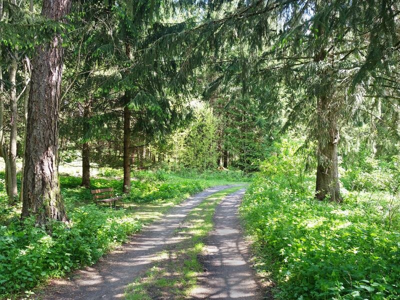
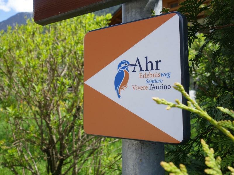
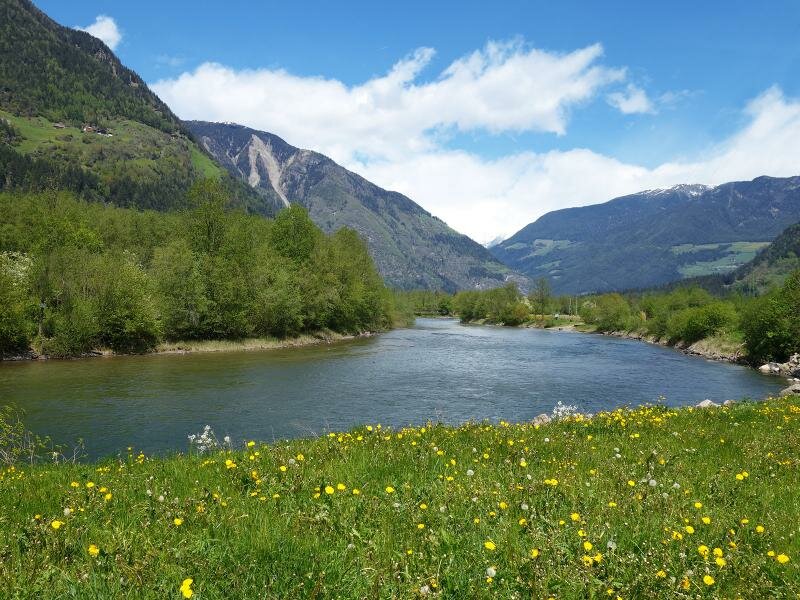
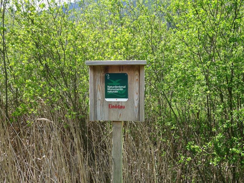
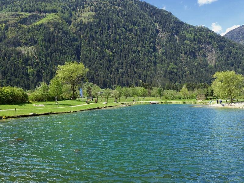
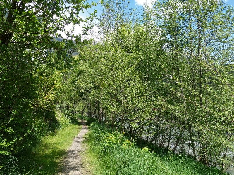
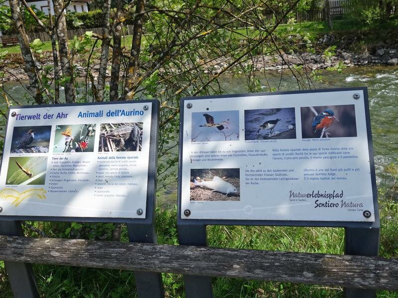
From there we take the forest path towards Villa Ottone (Uttenheim in German). We walk through the village and change to the east bank of the river and follow the signpost “Naturlehrpfad Ahr” (Nature Trail Aurino). It is equal to the cycle route and asphalted in this section. The path proceeds in the middle of the valley along the river until the junction Thara which leads us to the sport fishing pond (rest point).
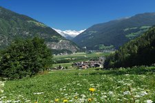
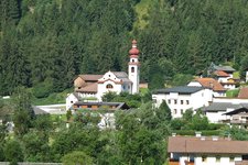
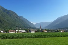
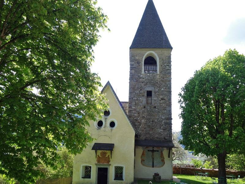
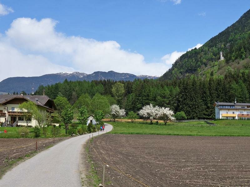
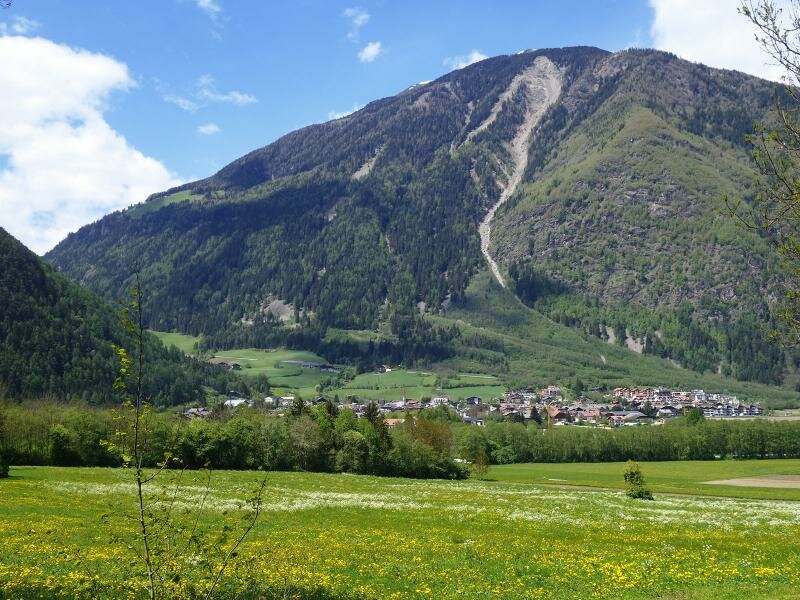
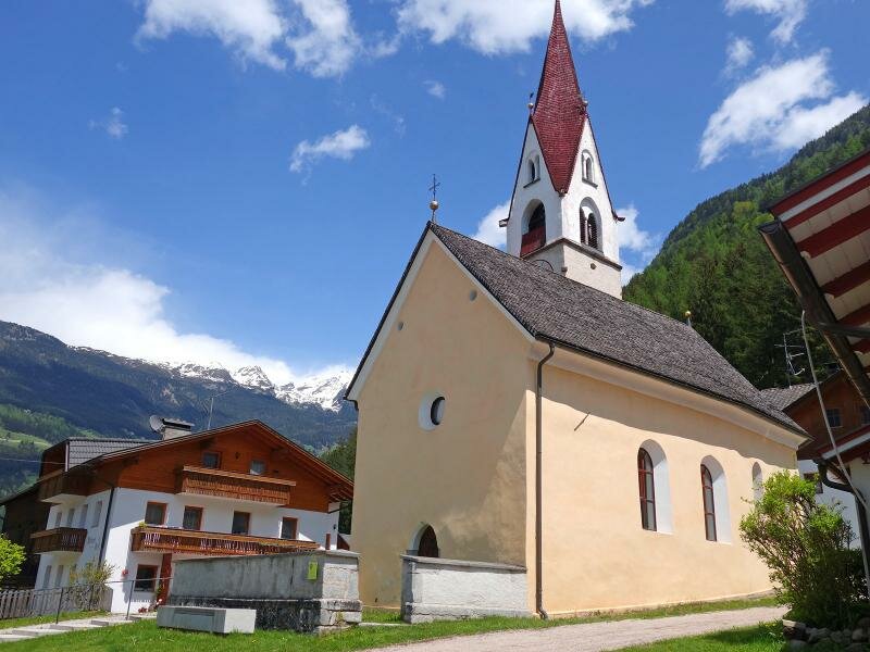
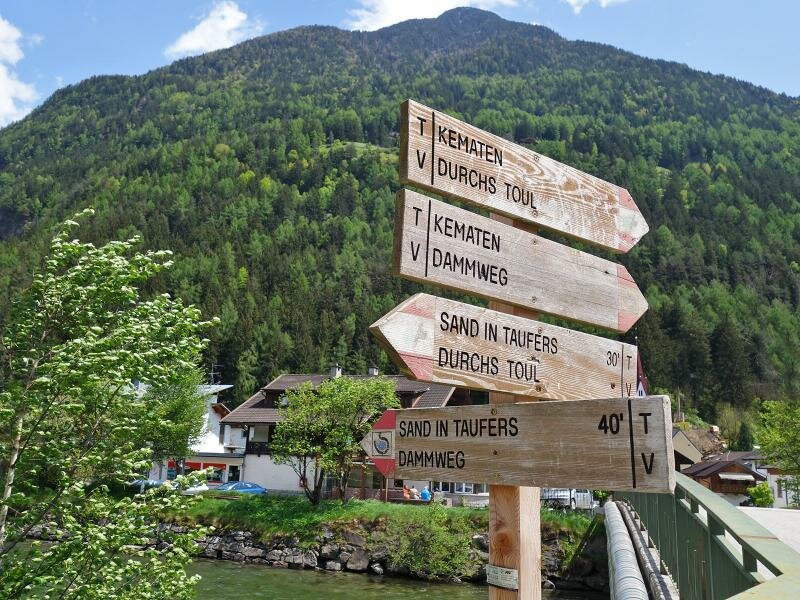
From here the path no. 8B leads us slightly uphill to the forest below the Santa Valburga Church and further to Caminata di Tures (Kematen in Taufers). Here the view on the valley and its villages Molini, Tures, Caminata, Campo and Acereto opens. In Caminata, immediately after the church, we cross the bridge and follow the Dammweg path, which proceeds to Campo Tures. There we take the public bus back to Gais, our starting point.
Author: AT
-
- Starting point:
- Gais
-
- Overall time:
- 03:00 h
-
- Total route length:
- 12,0 km
-
- Altitude:
- from 830 m to 910 m
-
- Altitude difference:
- +180 m | -180 m
-
- Route:
- Gais - Castello di Casanova - Villa Ottone - pesca sportiva Thara - Caminata di Tures - Campo Tures
-
- Signposts:
- 7, "Durchs Toul", 8B, Dammweg
-
- Destination:
- Campo Tures / Sand in Taufers
-
- Recommended time of year:
- Jan Feb Mar Apr May Jun Jul Aug Sep Oct Nov Dec
-
- Download GPX track:
- Valley hike in the Valle di Tures
If you want to do this hike, we suggest you to check the weather and trail conditions in advance and on site before setting out.