A hike at the foot of Monte Palombino (2,579 m a.s.l.) leads us to the Klapfsee lake, the Porze hut and the forcella Dginas in the Alpi Carniche
Image gallery: From the Rif. Porze hut to the Forcella Dignas ridge
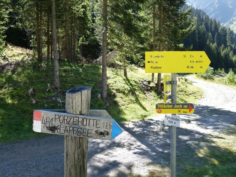
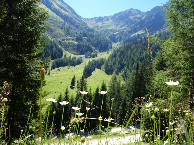
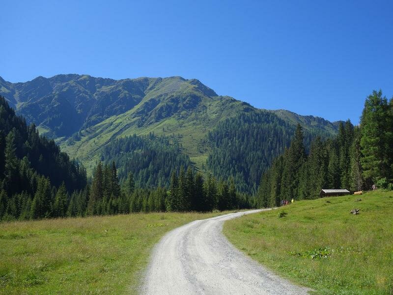
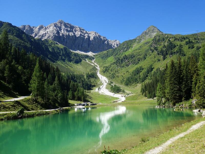
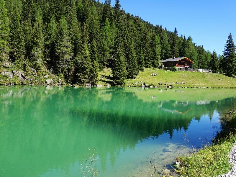
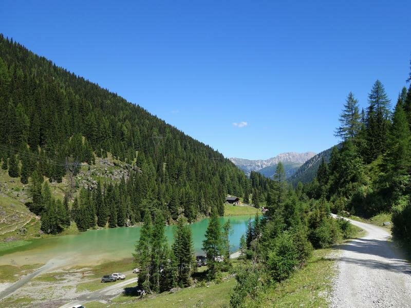
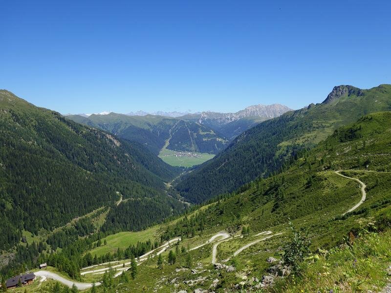
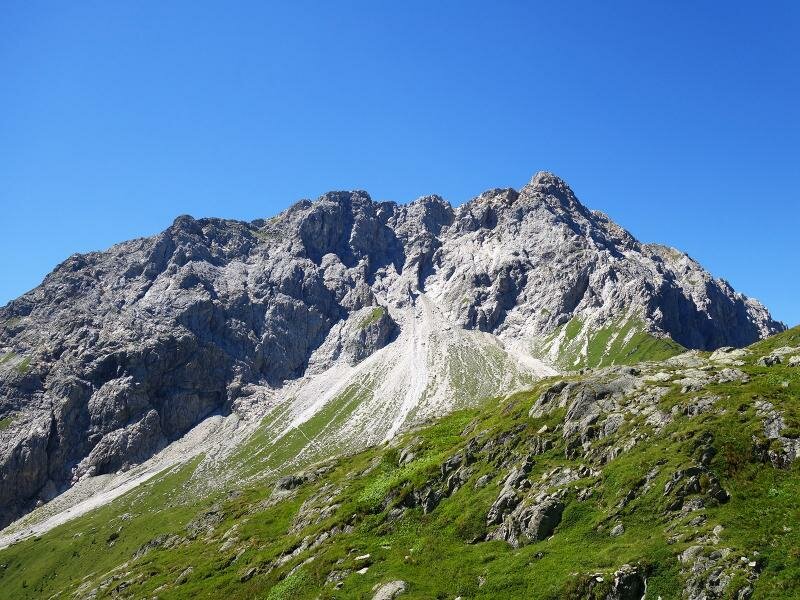
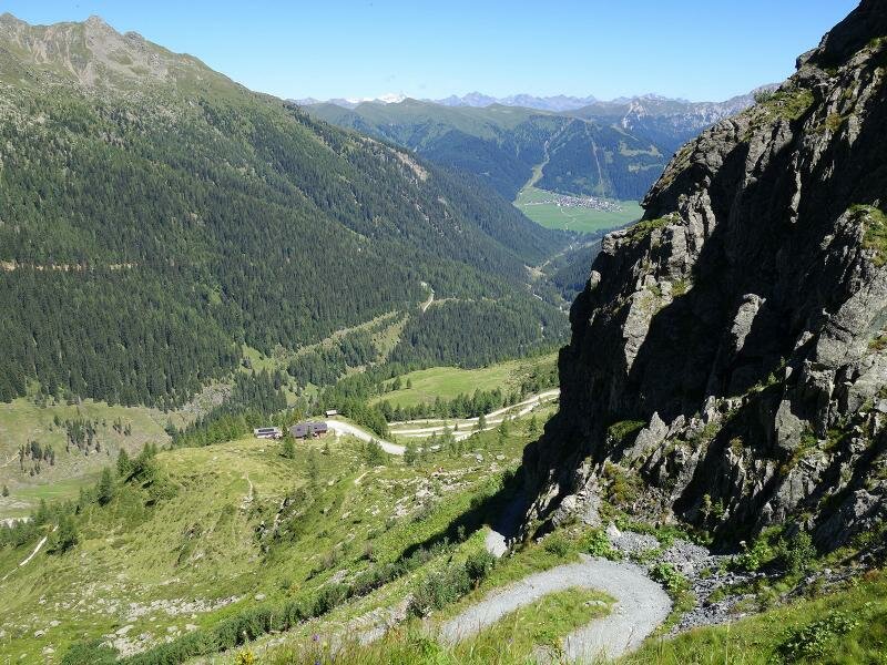
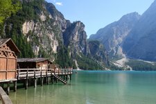
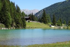
We cross the Obertilliacher Dorfertal by driving alonga gravel road until the Paffenboden crossroads at 1,500 m a.s.l. where we leave our car. We take the forest road no. 461 through the valley to lake Klapfsee. Mount Palombino (Porze), an impressive peak of the Cresta Carnica at the border to the region of Veneto is reflected by the green-blue water of lake Klapfsee.
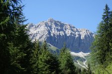
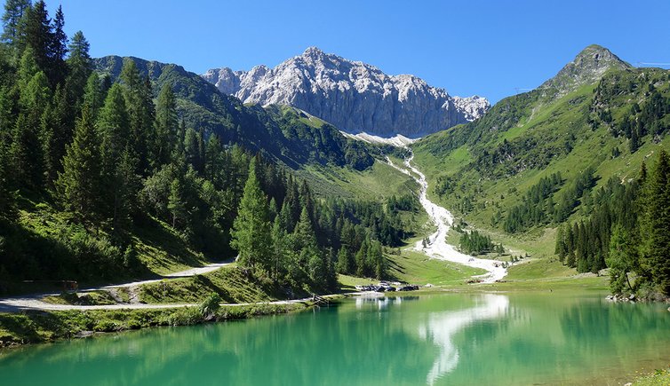
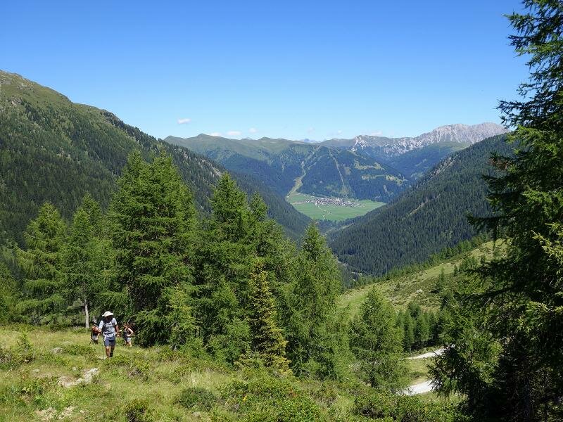
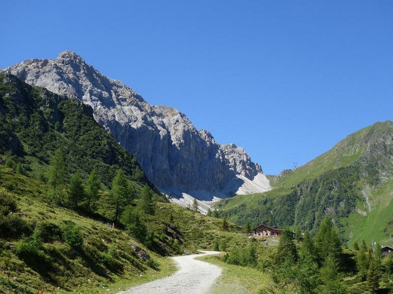
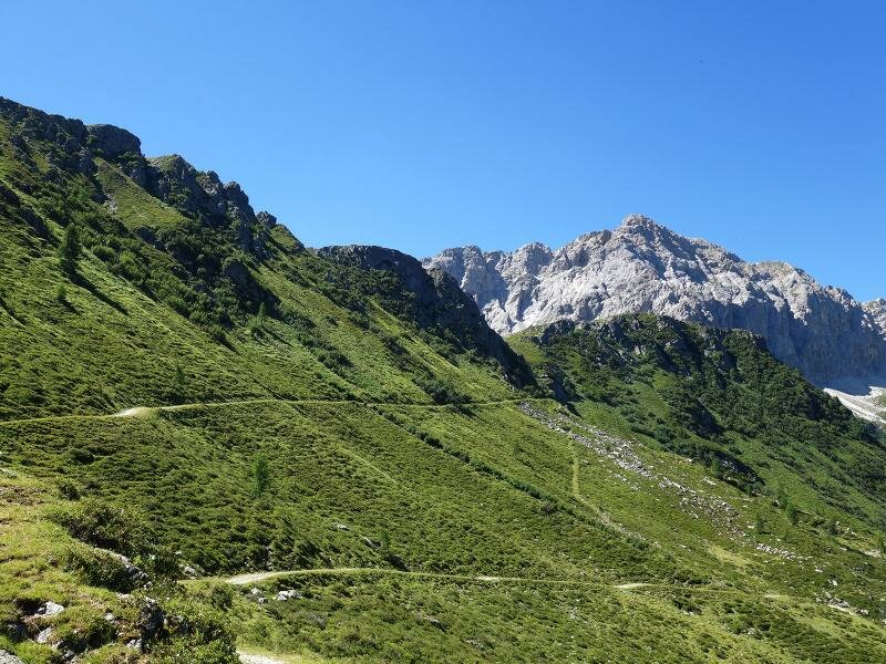
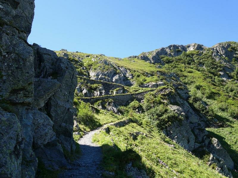
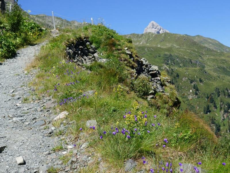
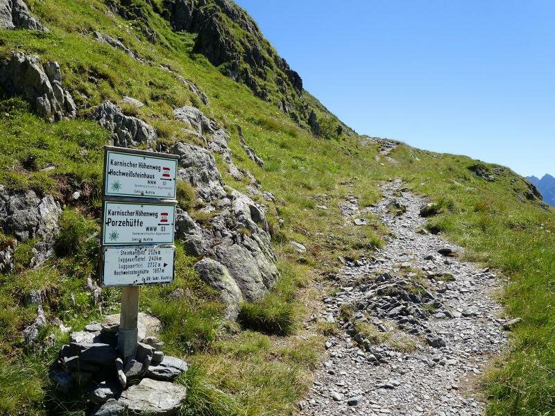
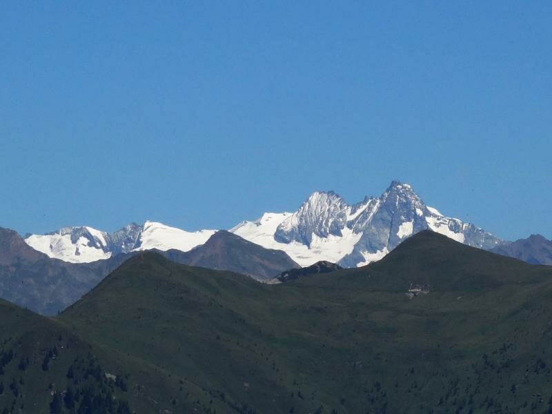
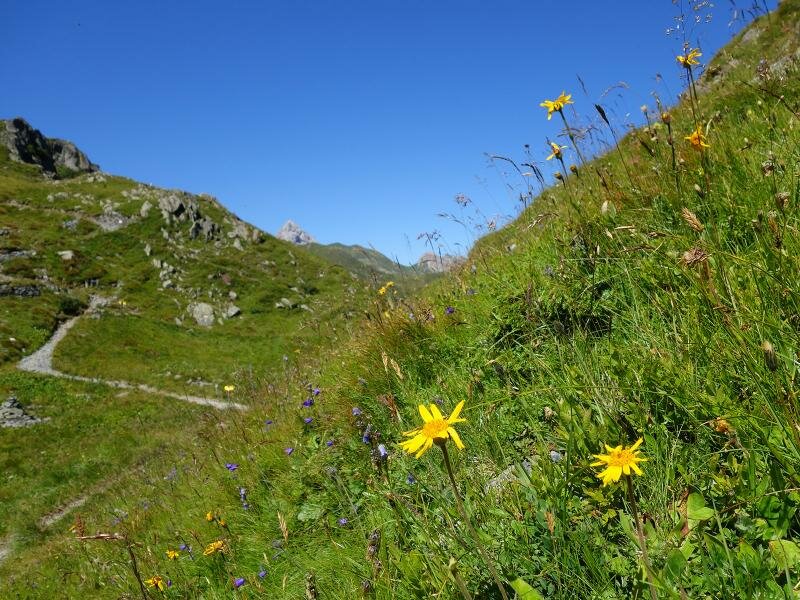
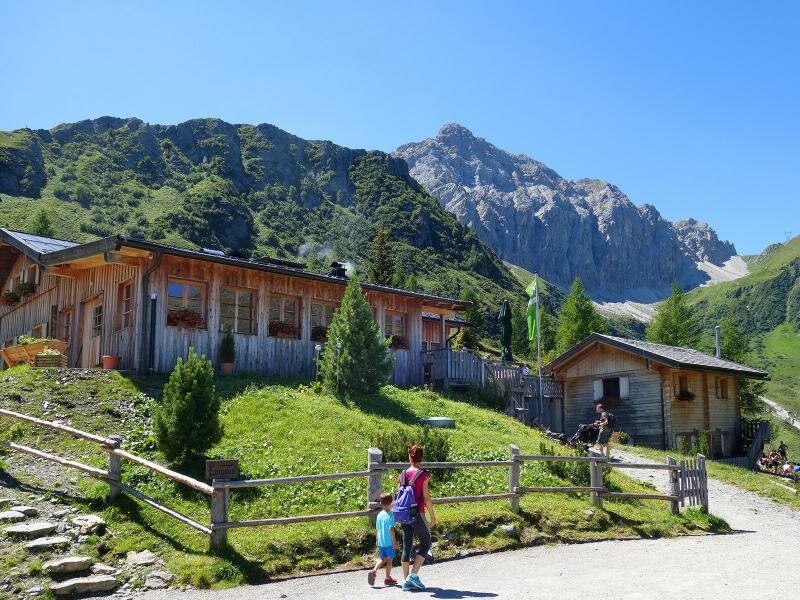
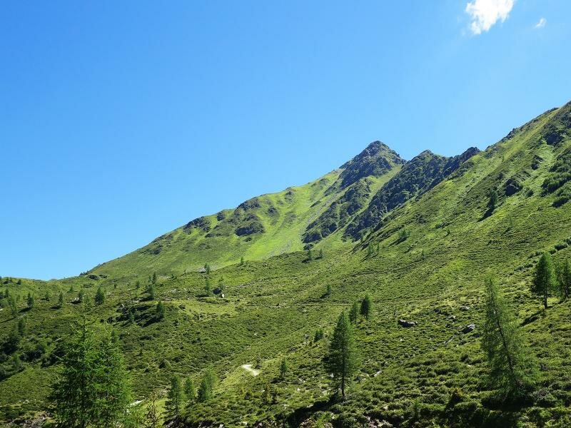
The path ascends in switchbacks on the southeastern side of the valley. First, we reach the Porzehütte hut at 1,942 m a.s.l. (refreshment point). Then, we continue along path no. 459 to the forcella Dignas which delights us with a stunning view of Monte Palombino and the glaciers of the Alti Tauri group, including Mt Grossglockner. We return along the same path.
Date of the hike: 8 August 2016
Last updated in: 2026
Author: AT
-
- Starting point:
- Dorfertal valley near Obertilliach, junction Pfaffenboden
-
- Overall time:
- 03:50 h
-
- Total route length:
- 12,7 km
-
- Altitude:
- from 1.469 m to 2.115 m
-
- Altitude difference (uphill | downhill):
- +856 m | -856 m
-
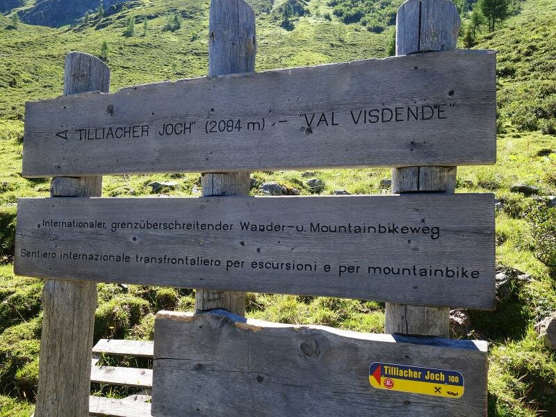
- Route:
- Lake Klapfsee – Rif. Porzehütte mountain hut – Tilliacher Joch
-
- Signposts:
- No. 461
-
- Destination:
- Tilliacher Joch
-
- Resting points:
- Porzehütte
-
- Recommended time of year:
- Jan Feb Mar Apr May Jun Jul Aug Sep Oct Nov Dec
-
- Download GPX track:
- From the Rif. Porze hut to the Forcella Dignas ridge
If you want to undertake this hike, we recommend you to check the weather and trail conditions in advance and on site before setting out.