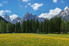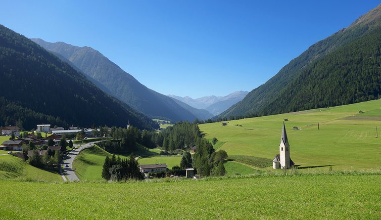
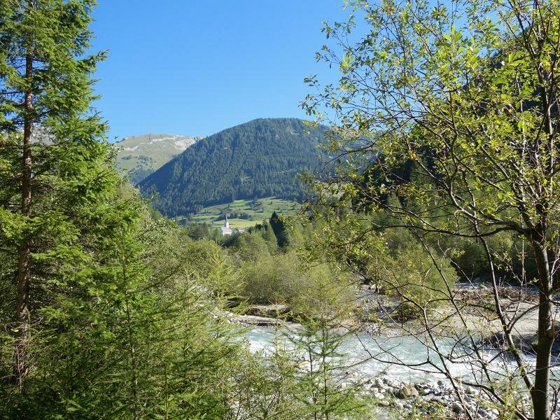
The stunning peaks and glaciers of the Alti Tauri are probably the first things which come to your mind when thinking about Kals am Großglockner. However, today we undertake a hike on the valley floor to discover the nature and culture of Kals
Image gallery: Water Experience Trail and Kals valley hike
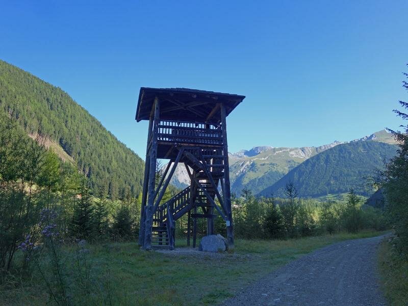
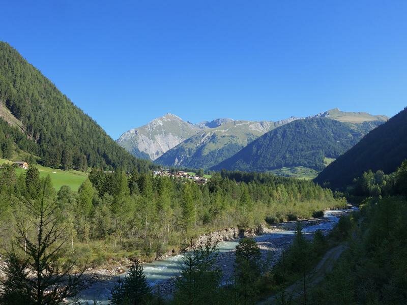
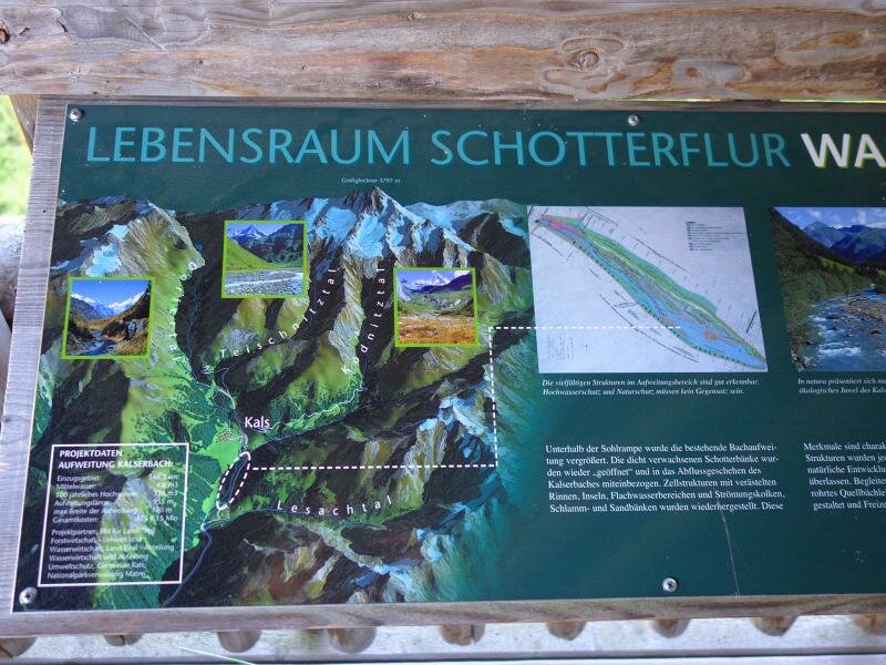
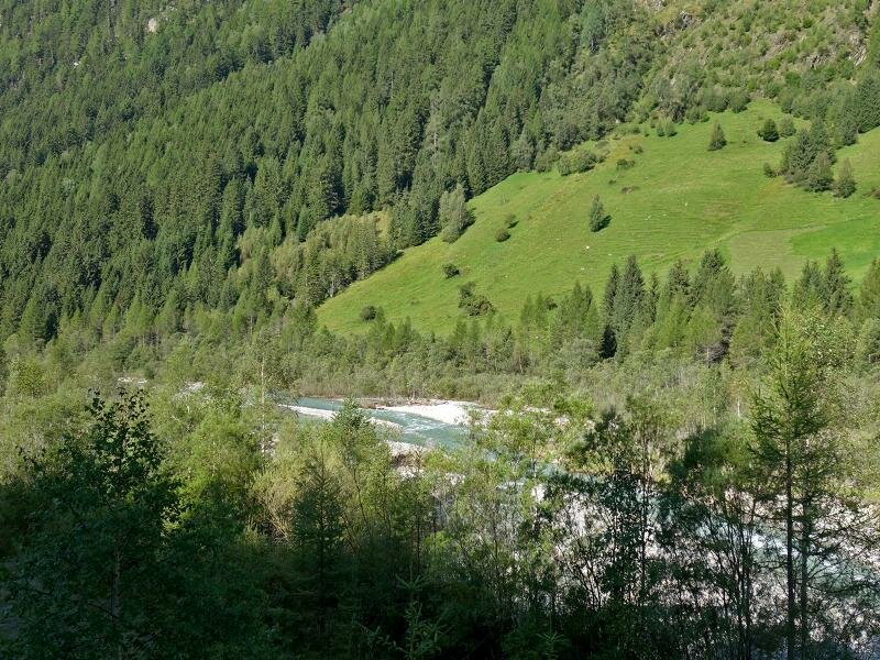
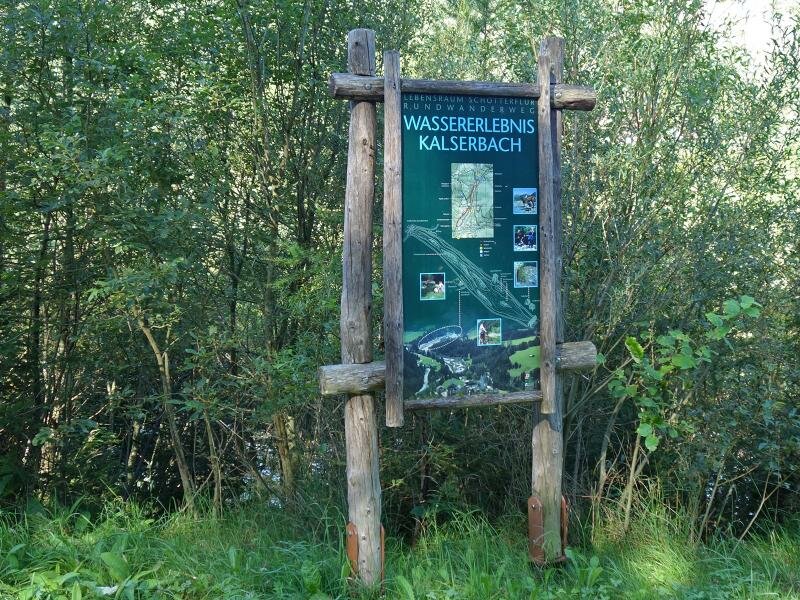
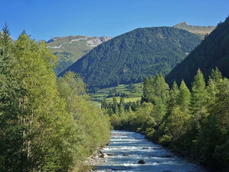
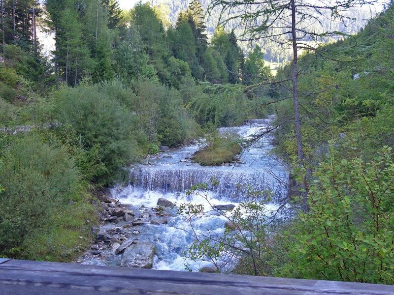
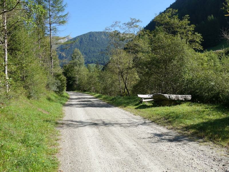
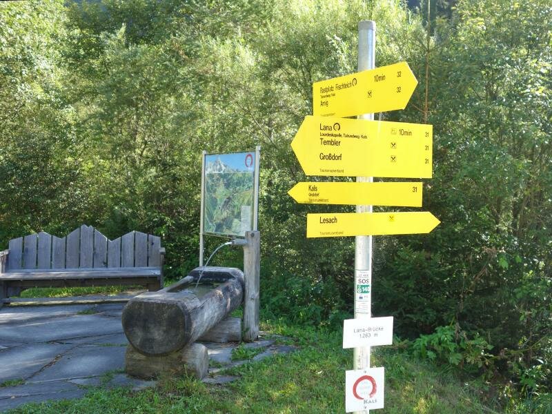
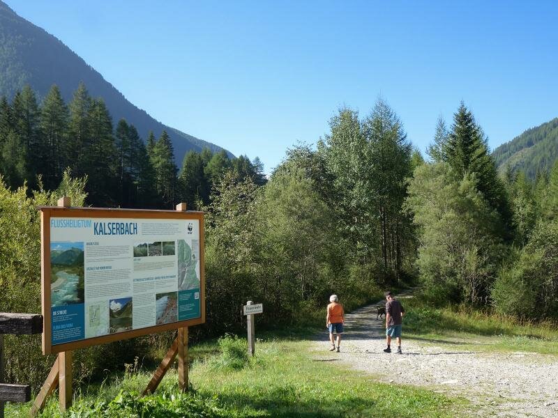
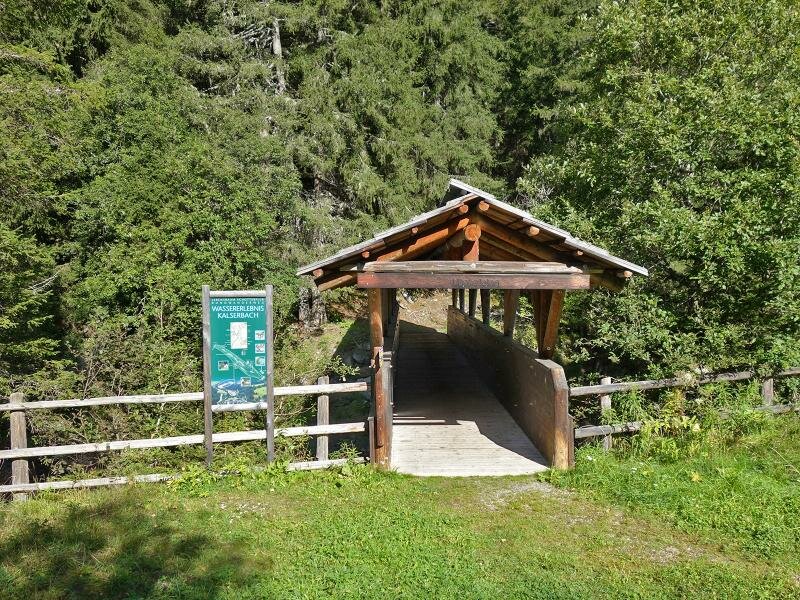
The Knopfbrücke bridge along the provincial road of Kals (Kalser Landesstraße), below the locality of Unterlesach, is the starting point of our hike along the eastern bank of the Kalser Bach. This itinerary takes us to the unpaved plains with scarce vegetation (Schotterfluren), where several animals and plants live. A panoramic tower offers a wonderful view of the plains and several information panels tell about the unique nature at the riverbanks of this stream.
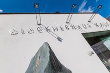
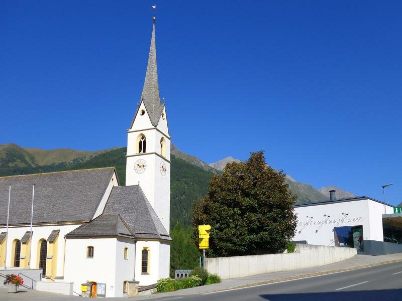
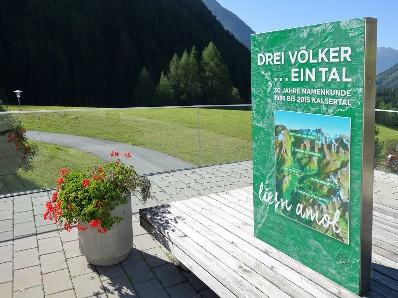
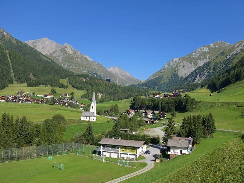
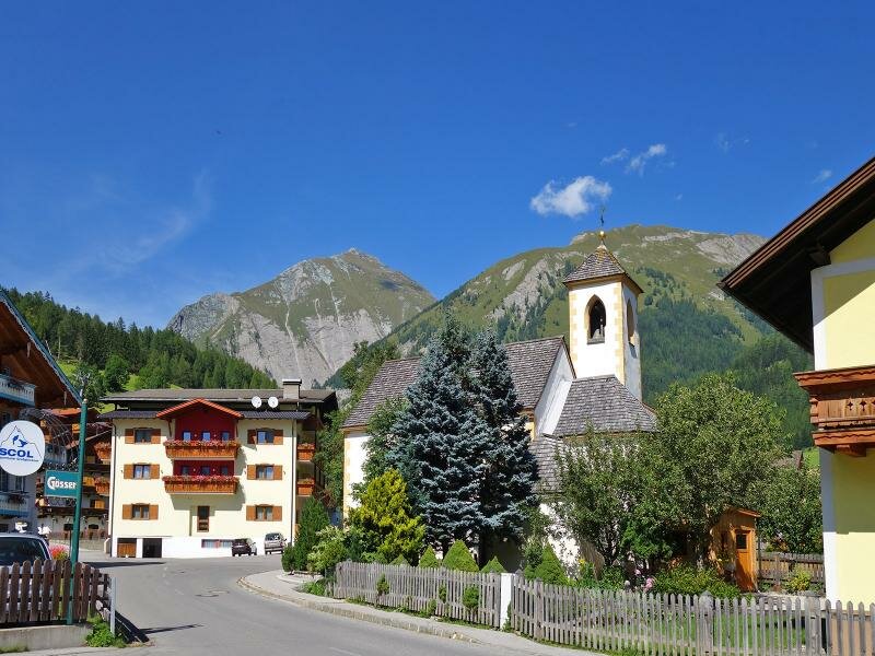
We continue following the course of the stream and reach the mouth of the Ködnitztalbach first and the centre of Kals then. The information panels in the church square provide interesting information on the origins of the village and the place names of this area which date back to Roman, Slavic and Germanic settlements. The Glocknerhaus building of the Alti Tauri National Park (Nationalpark Hohe Tauern) in the square reveals the interesting history of the highest mountain of Austria and tells about the first ascension to this mountain, the Grossglockner (3,798 m a.s.l.). The exhibition is complete with several details on the fascinating story of Kals.
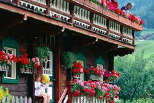
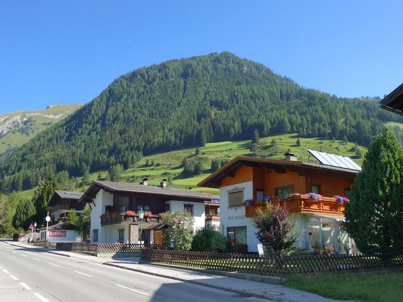
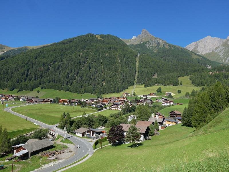
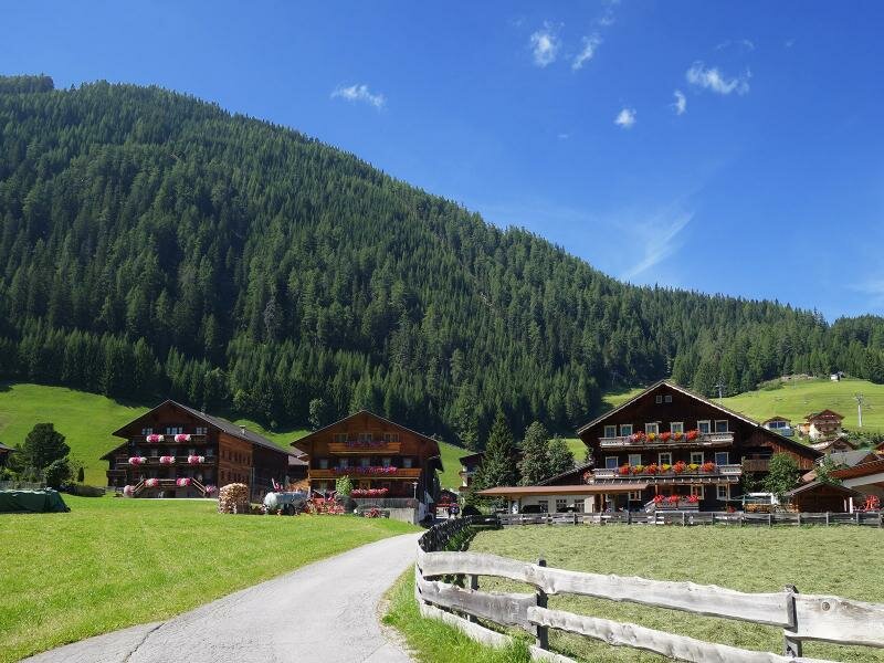
After a visit to this museum, we continue walking along the road towards Grossdorf, past the St. George's church. The centre of the hamlet of Grossdorf is overlooked by the St. Petronilla church. We proceed to the valley station of the Kals cable car where we take the path along the eastern bank of the Kalser Bach until we reach the Knopfbrücke bridge, both the starting point and end point of our circular hike in East Tirol.
Date of the hike: 30 August 2017
Last updated in: 2026
Author: AT
-
- Starting point:
- Knopfbrücke bridge near Unterlesach, Kals
-
- Overall time:
- 02:15 h
-
- Total route length:
- 8,1 km
-
- Altitude:
- from 1.243 m to 1.369 m
-
- Altitude difference (uphill | downhill):
- +162 m | -162 m
-
- Route:
- Kals Brook east bank path – Kals (village centre) – Großdorf – Wassererlebnis-Weg path
-
- Recommended time of year:
- Jan Feb Mar Apr May Jun Jul Aug Sep Oct Nov Dec
-
- Download GPX track:
- Water Experience Trail and Kals valley hike
If you want to undertake this hike, we recommend checking the weather and trail conditions in advance and on site before starting this hike!