This easy mountain hike in the Alti Tauri group takes us to the Johannishütte hut at the foot of the Grossvenediger
Image gallery: Hike to the Johannishütte hut on the Grossvenediger
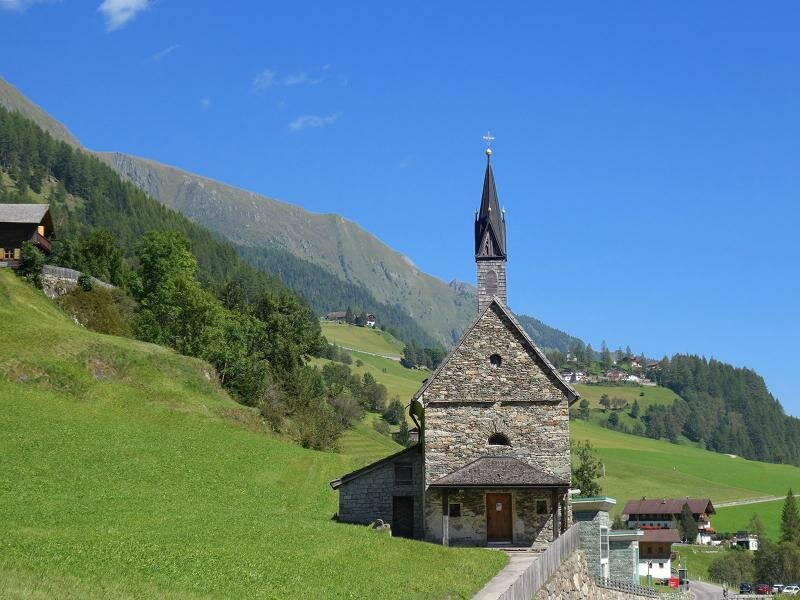
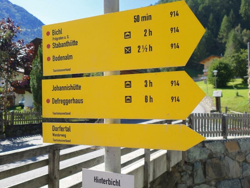
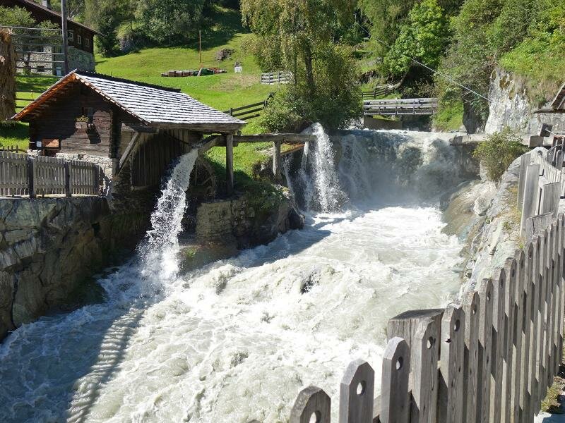
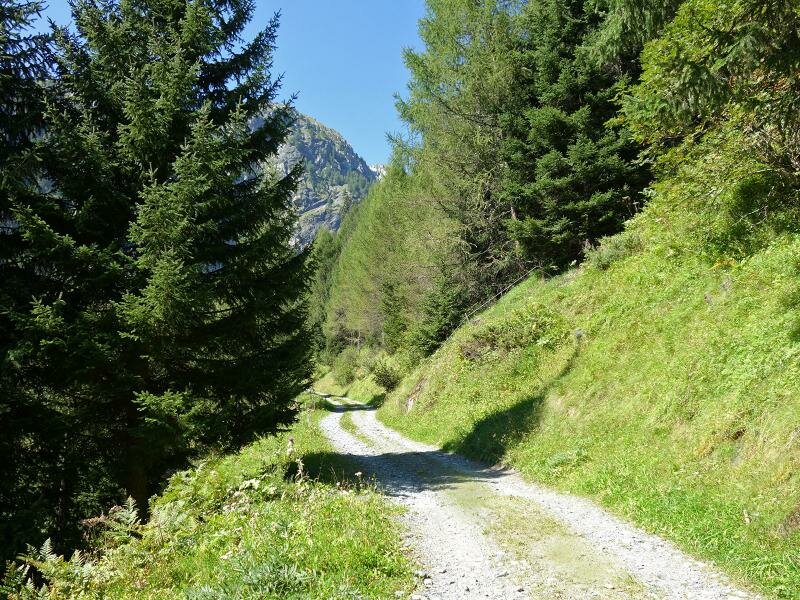
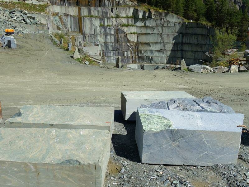
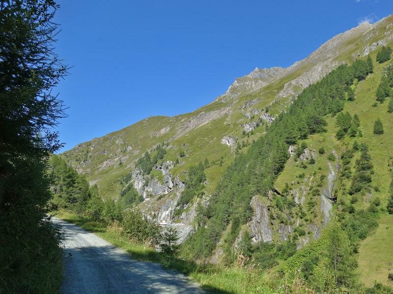
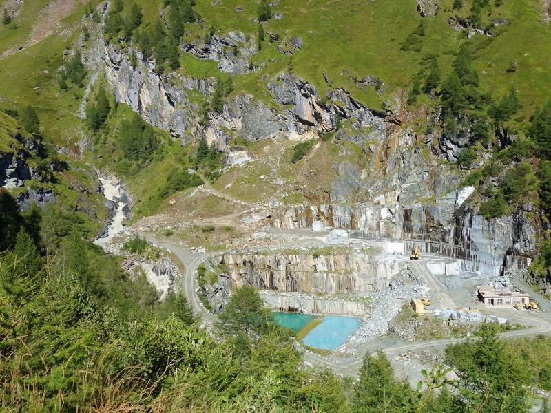
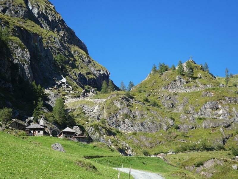
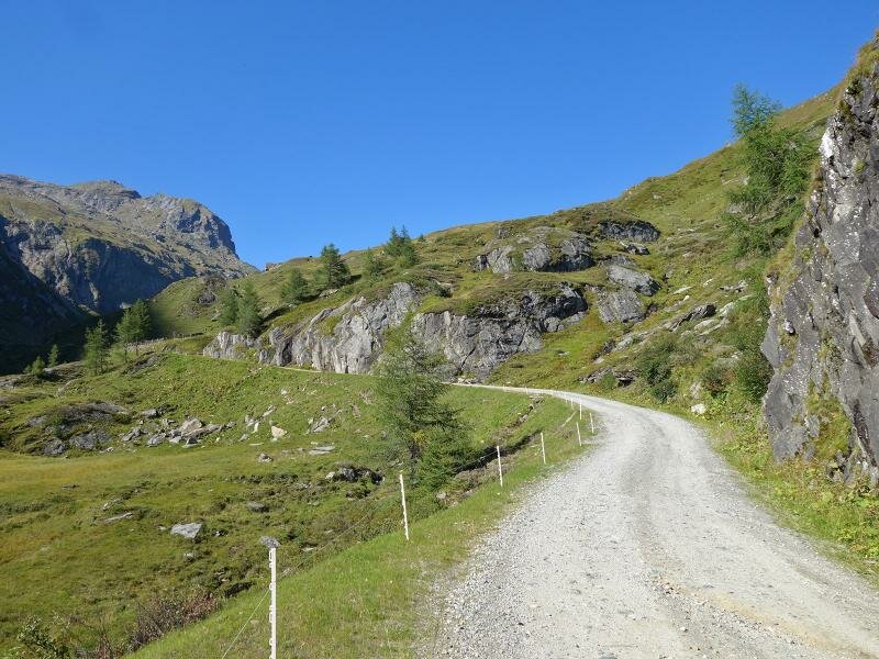
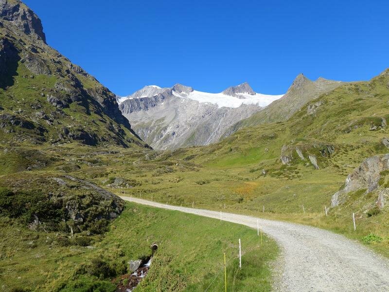
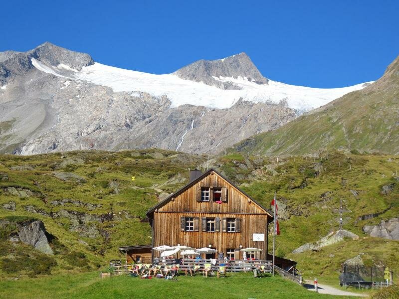
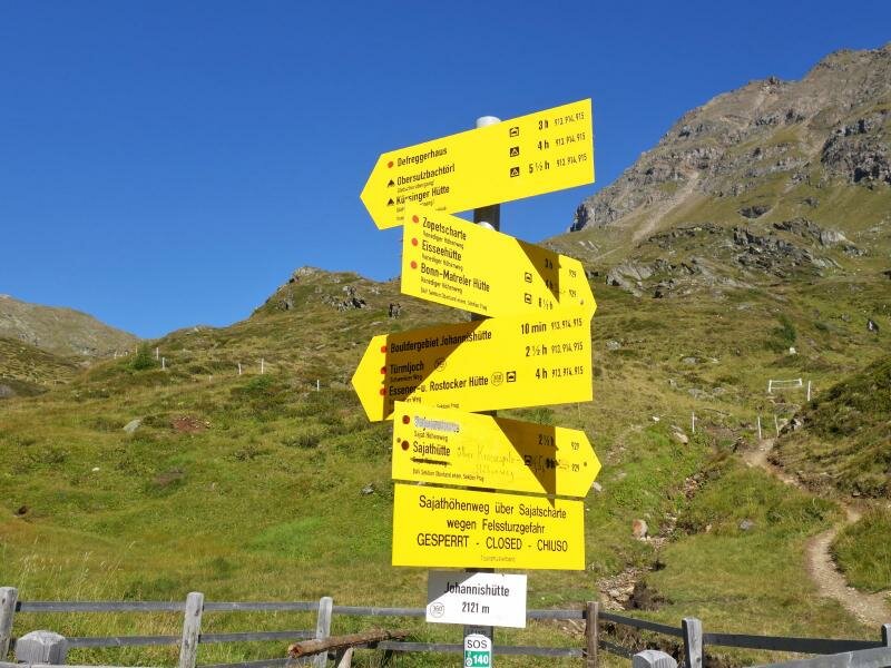
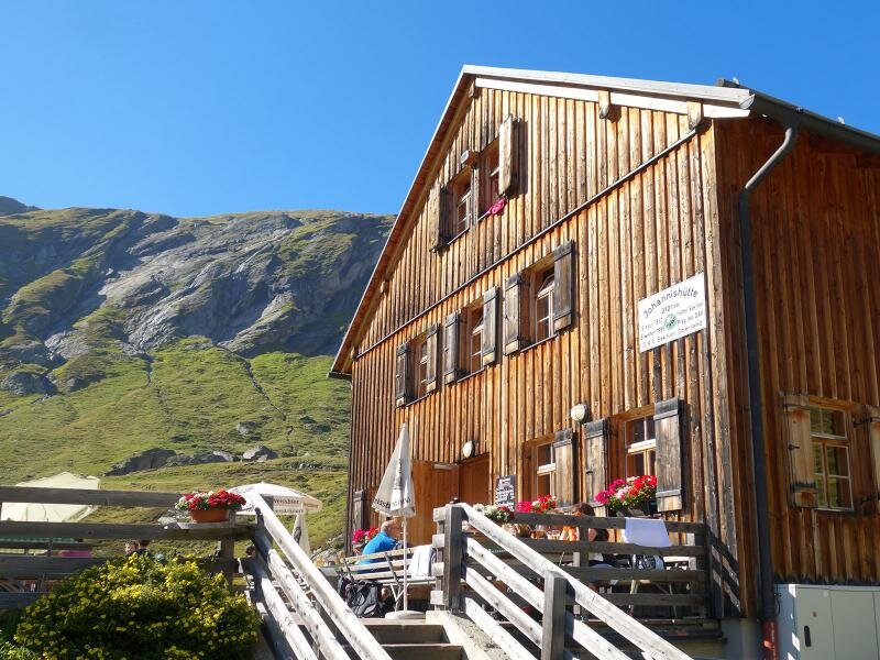
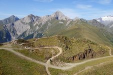
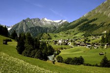
The starting point of today's hike is the restaurant Gasthof Islistzer in Hinterbichl, a hamlet of the municipality of Prägraten am Grossvenediger. The initial section of the path leads uphill to the Serpentinite stone pit in switchbacks. There, we take the unpaved path no. 914 to the Johannishütte hut at 2,121 m a.s.l. This road is closed to motorised traffic, except for the few residents and the shuttle service "Venediger Taxi".
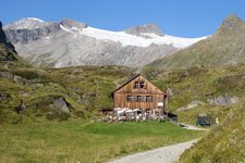
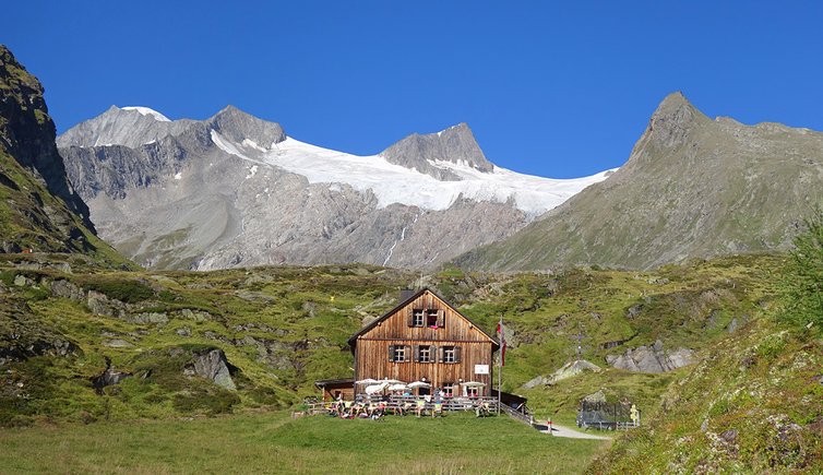
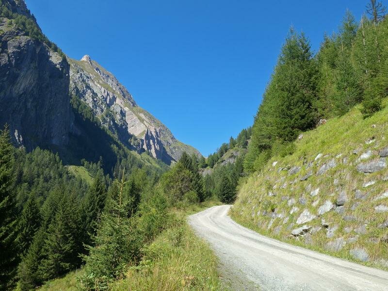
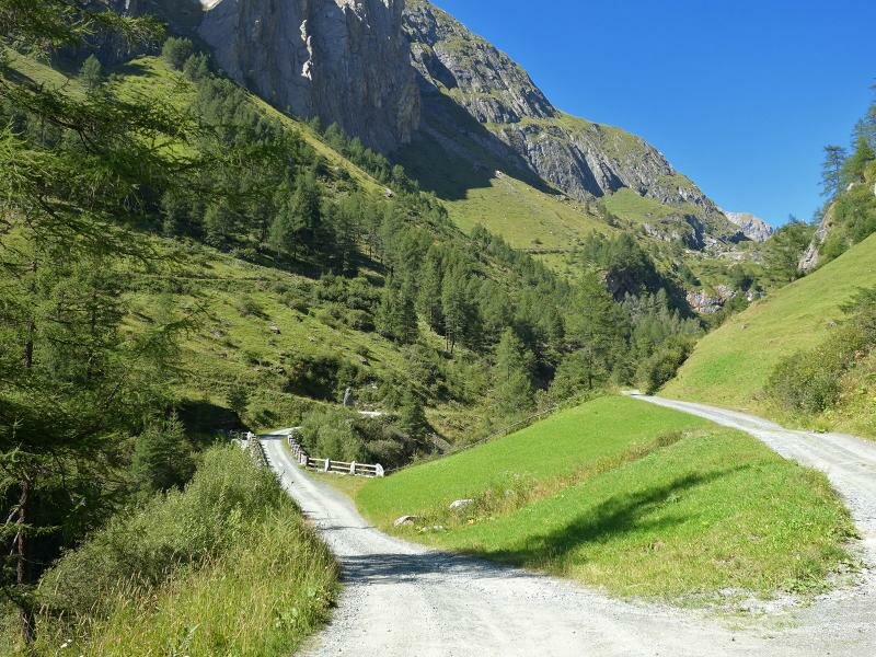
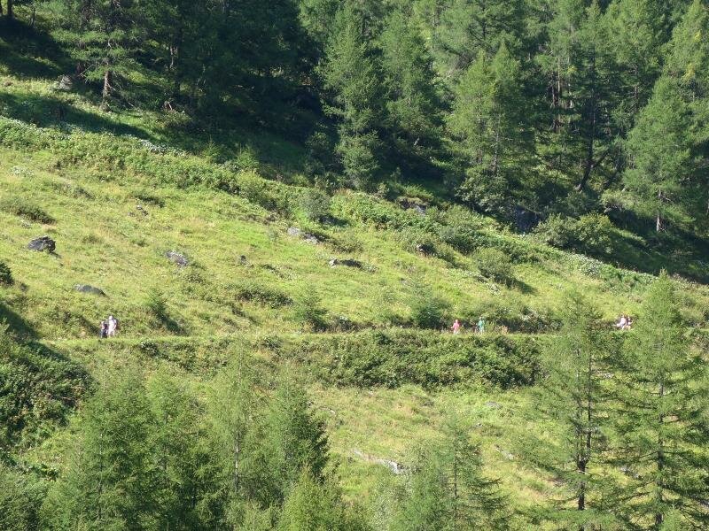
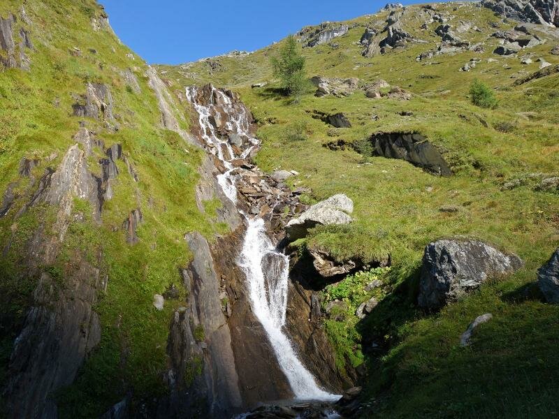
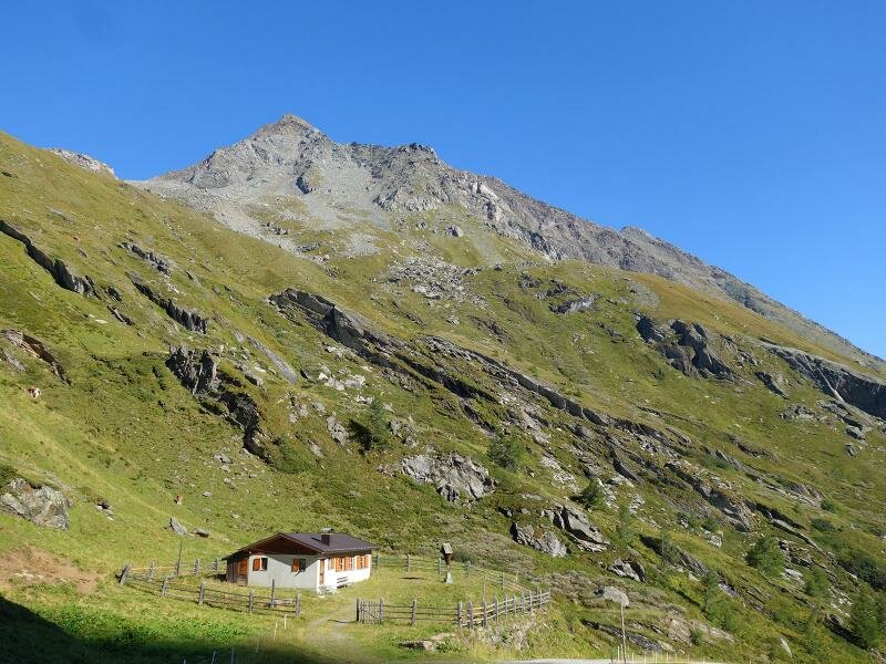
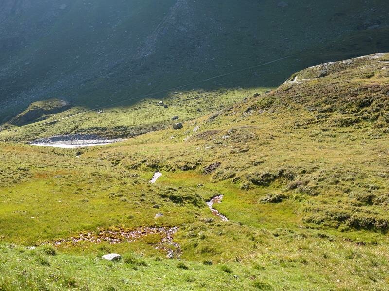
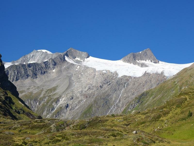
The path leads past some pastures and then continues to ascend in switchbacks along a steeper slope. The final section right before the Johannishütte hut is almost flat. The view from the hut to the impressive Grossvenediger is truly impressive: this 3,576-metre high mountain is one of the highest peaks of Austria and forms the border between the regions of Tyrol and Salzburg.
Date of the hike: 29 August 2017
Last updated in: 2026
Author: AT
-
- Starting point:
- Hinterbichl (Prägraten)
-
- Overall time:
- 04:15 h
-
- Total route length:
- 14,2 km
-
- Altitude:
- from 1.331 m to 2.115 m
-
- Altitude difference (uphill | downhill):
- +793 m | -793 m
-
- Signposts:
- no. 20, Nr. 914
-
- Destination:
- Johannishütte
-
- Resting points:
- Johannishütte
-
- Recommended time of year:
- Jan Feb Mar Apr May Jun Jul Aug Sep Oct Nov Dec
-
- Download GPX track:
- Hike to the Johannishütte hut on the Grossvenediger
If you want to undertake this hike, we recommend checking the weather and trail conditions in advance and on site before starting this hike!