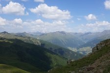
This demanding mountain hikes takes us across the beautiful mountain landscapes of the Monti di Villgraten
Image gallery: Circular hike to the Remes Lakes
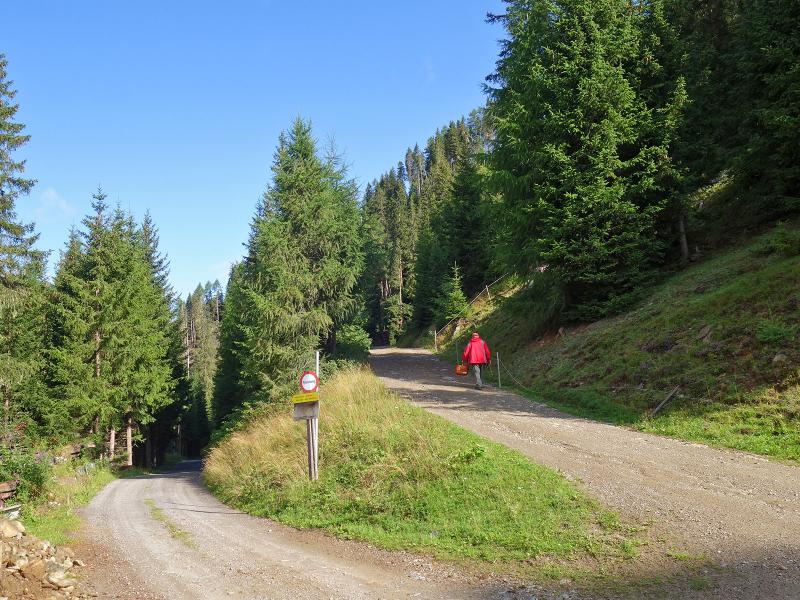
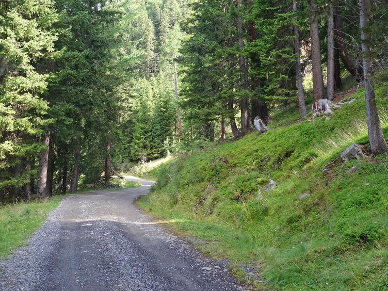
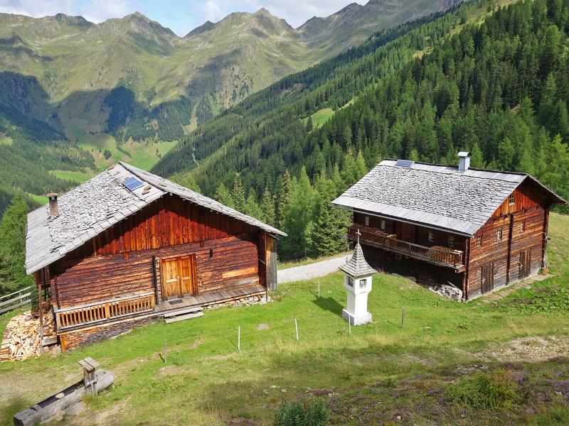
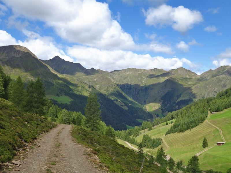
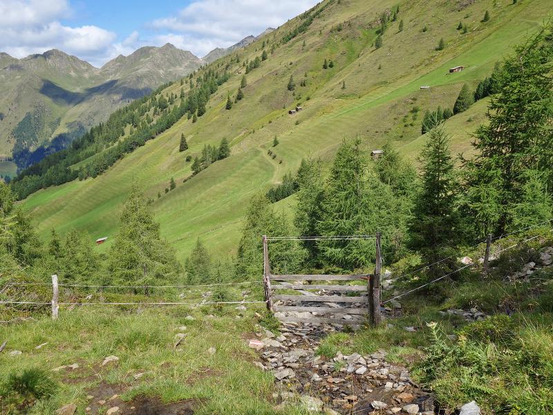
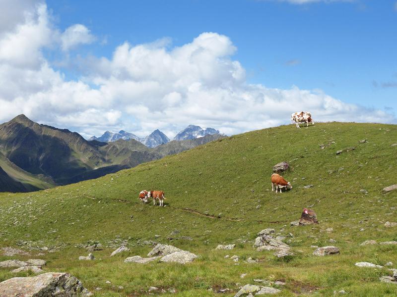
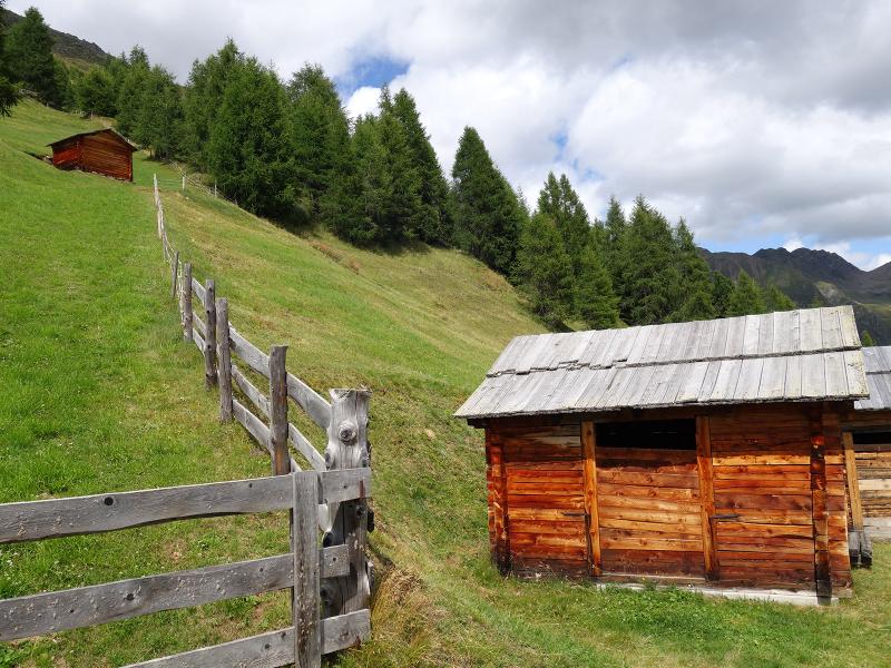
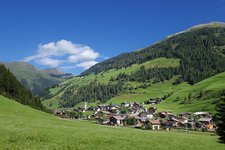
We drive from Innervillgraten along the Hochberg-Straße to a small car park right near the Schettlet farm where the forest road to the "Kamelisenalm" starts. We leave our car at the car park and take path no. 1 to the Kamelisenalm which we reach soon. The Kamelisenalm is a small village composed of mountain huts which are embedded in an unspoilt mountain landscape made of dense forests and extensive meadows on the sunny mountain slopes.
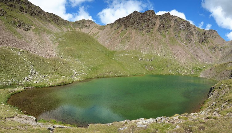
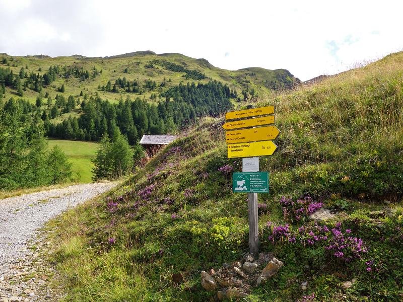
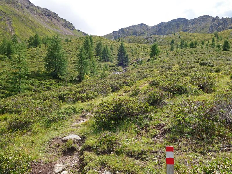
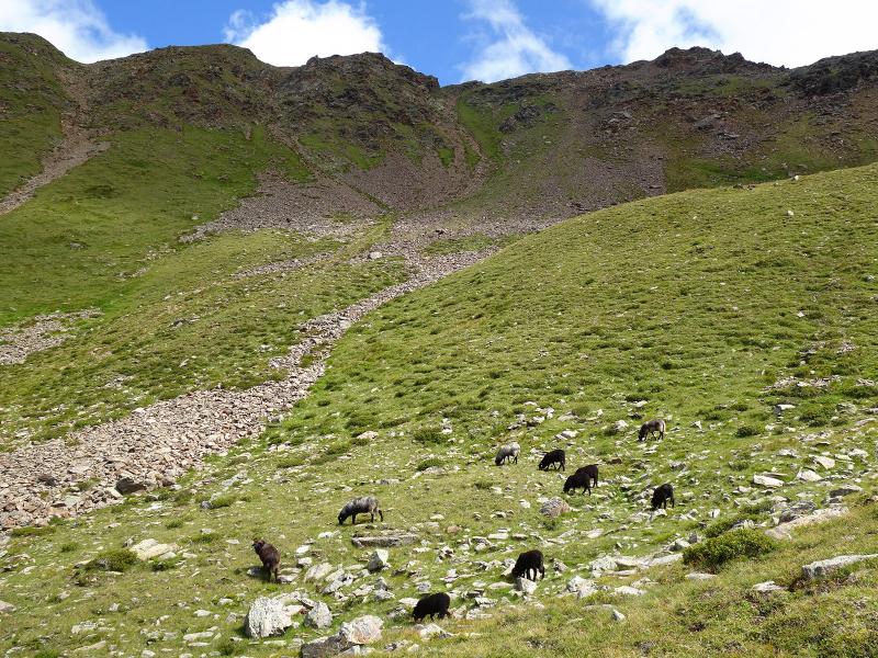
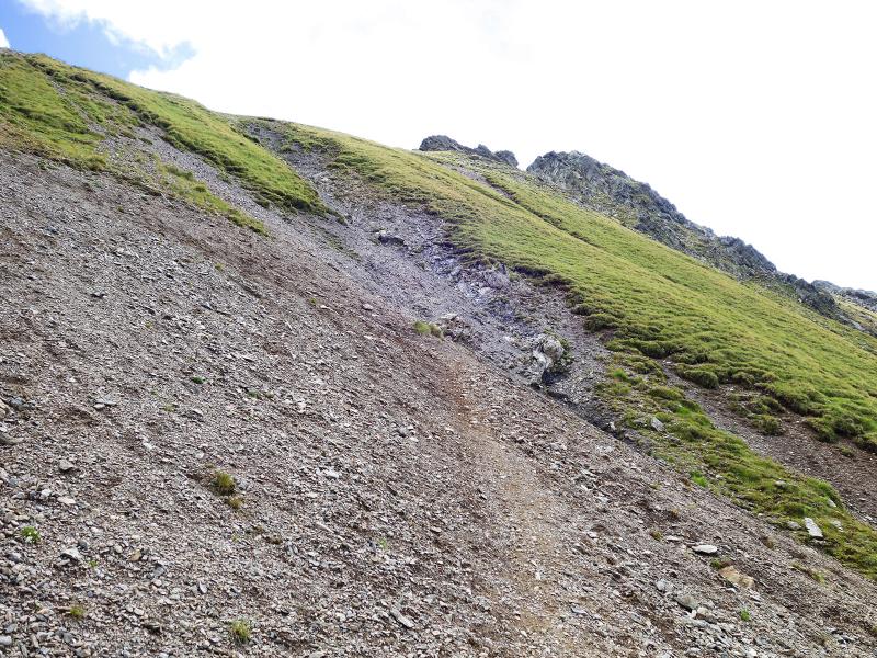
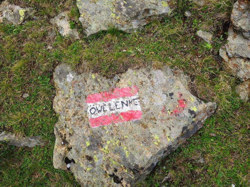
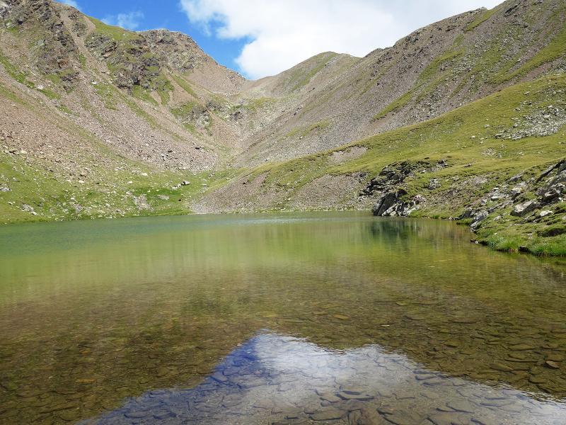
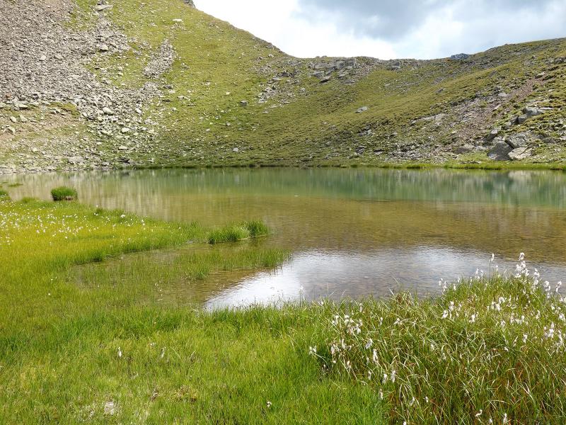
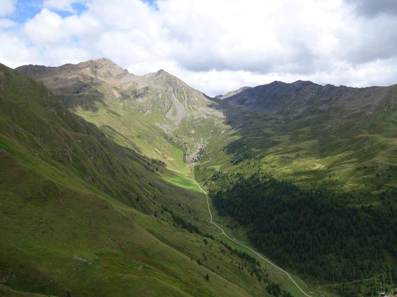
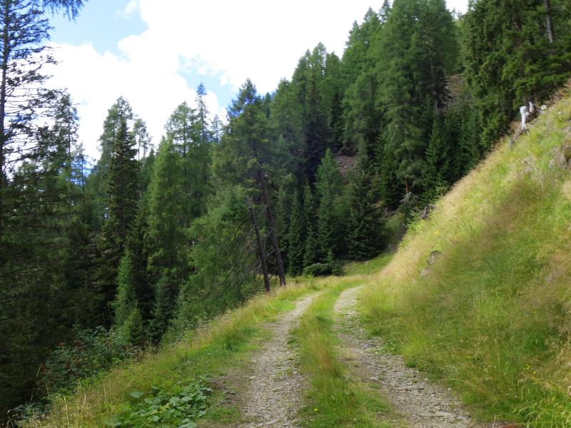
The road no. 1 we follow from here gets steeper and steeper. Soon, it turns into a narrow path running along the mountain slope. Having left the forest limit behind us, we cross some alpine meadows leading us to the highest point of our hike, the Öwelenke. After crossing the pass at 2,555 m a.s.l. we proceed slightly downhill to the Remes lakes. These two mountain lakes lie at the foot of the Rotes Kinkele and Hochstein peaks.
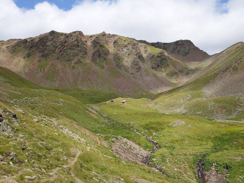
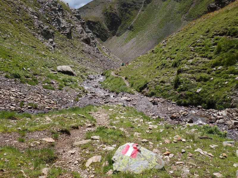
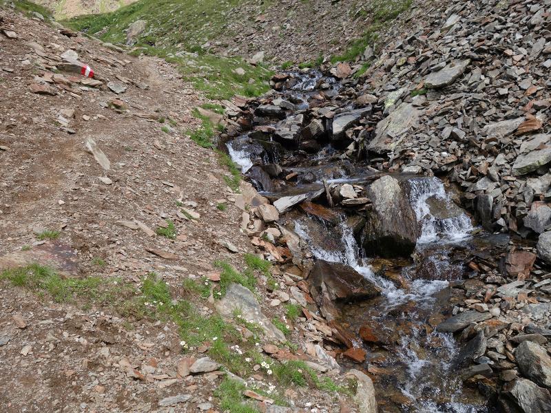
On our return we take path no. 18 and at the crossroads path no. 20. This initially exposed path runs across rocky terrain and is quite slippery in some parts. Caution, patience and sure-footedness are critical to complete this section successfully. Soon, the path continues across alpine meadows, this time in better conditions. Finally, we descend to malga Bergletalm from where we take a forest road descending through the valley along numerous hairpin bends. At an altitude of 1,830 m a.s.l. we take the path to our right and then proceed along an unmarked connection path until the car park near the Schettlet-Hof farm. After almost 5 hours of walking, we return to our starting point.
Date of the hike: 16 August 2019
Last updated in: 2026
Author: AT
-
- Starting point:
- parking space at Schettlet, Innervillgraten Hochberg
-
- Overall time:
- 04:50 h
-
- Total route length:
- 12,2 km
-
- Altitude:
- from 1.742 m to 2.555 m
-
- Altitude difference (uphill | downhill):
- +814 m | -814 m
-
- Route:
- Schettlet – Kamelisenalm – Öwelenke pass – Remesseen lakes – Bergletalm – Schettlet
-
- Signposts:
- no. 1, 18, 20, forest path to Schettlet
-
- Recommended time of year:
- Jan Feb Mar Apr May Jun Jul Aug Sep Oct Nov Dec
-
- Download GPX track:
- Circular hike to the Remes Lakes
If you want to undertake this hike, we recommend checking the weather and trail conditions in advance and on site before starting this hike!