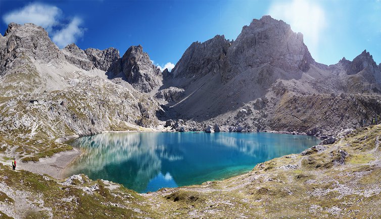
The easy mountain hike leads us to the beautiful Laserzsee in the Lienz Dolomites
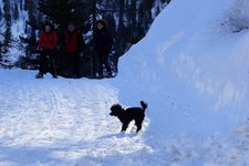
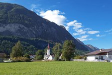
Image gallery: Hike from the Dolomitenhütte hut to Lake Laserzsee
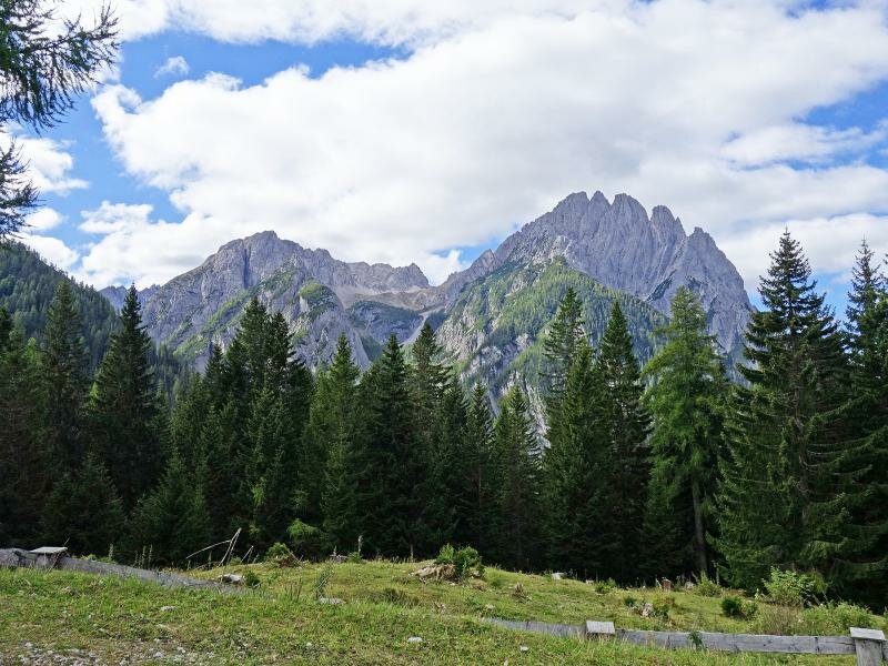
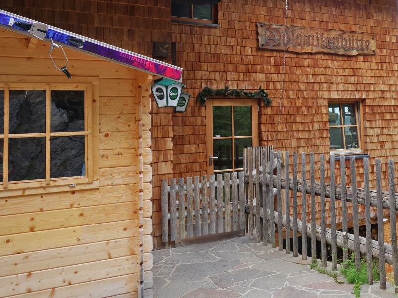
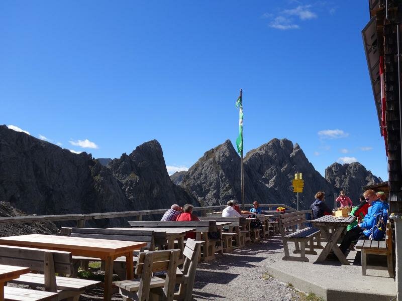
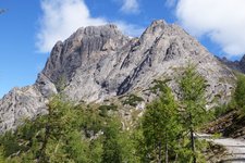
The Lienzer Dolomitenstraße (toll road starting from the Kreithof farm) starts in Tristach near Lienz and takes us to the car park near the Rauchkofel at 1,600 m a.s.l., the starting point of our hike. After a 5-minute walk we already arrive at the Dolomitenhütte hut at 1,620 m a.s.l. where we enjoy a stunning panoramic view of the peaks standing out from a ridge, the so-called Bischofsmütze.
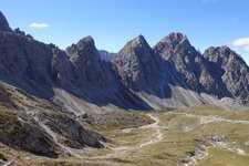
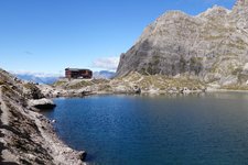
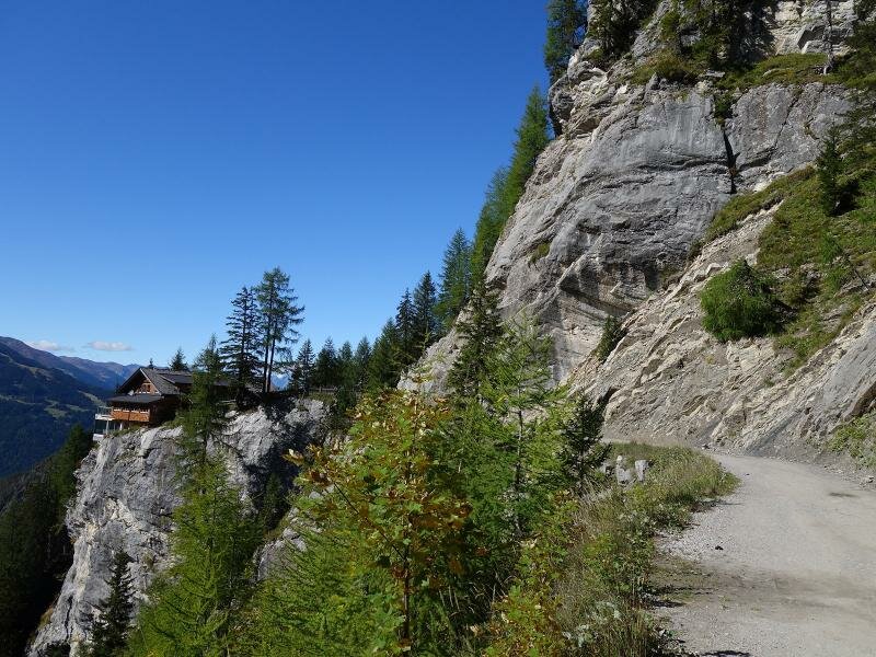
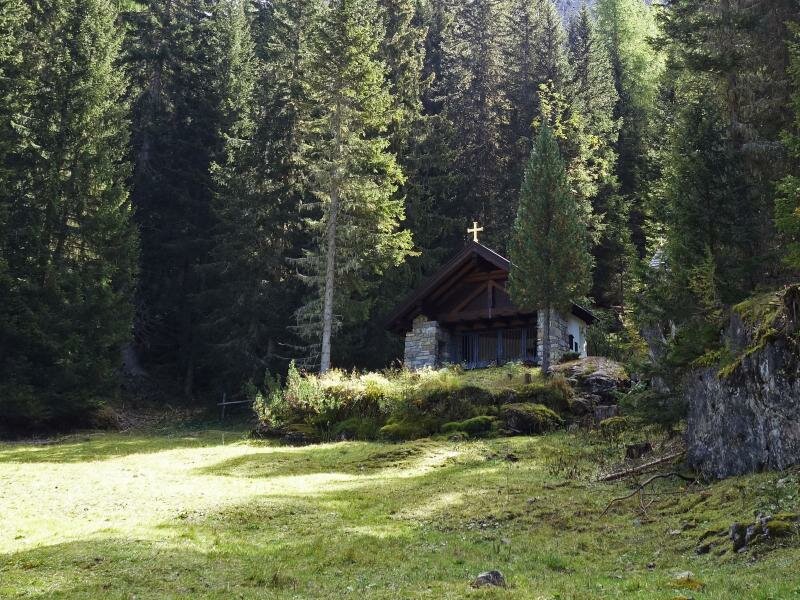
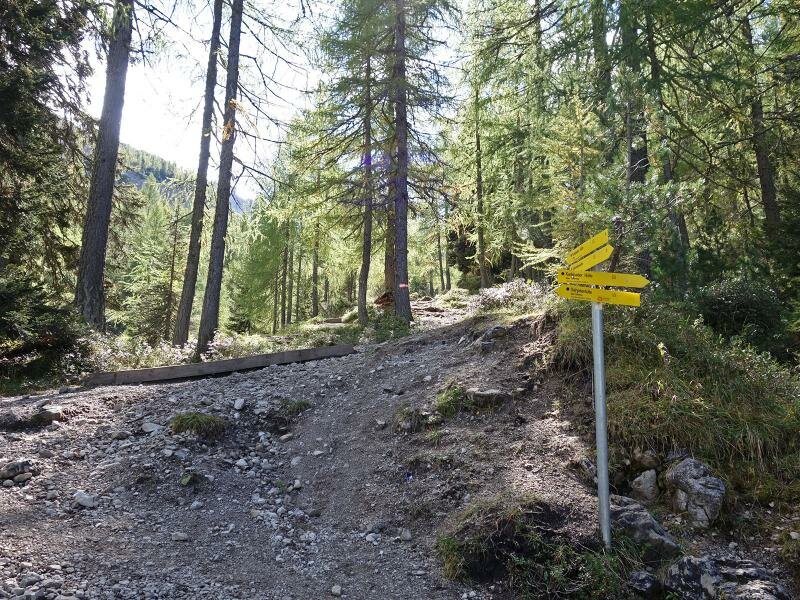
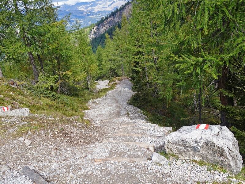
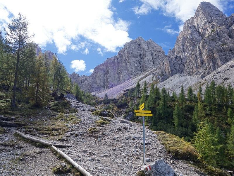
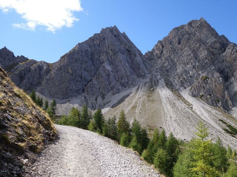
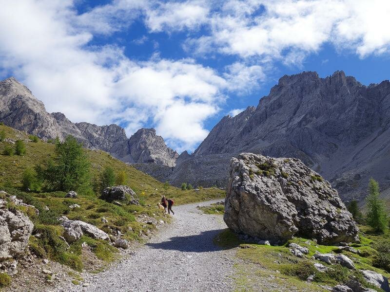
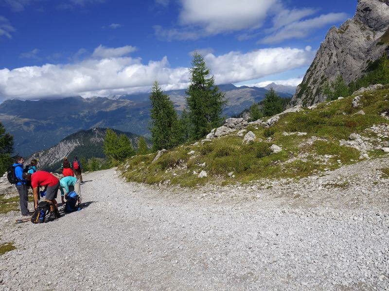
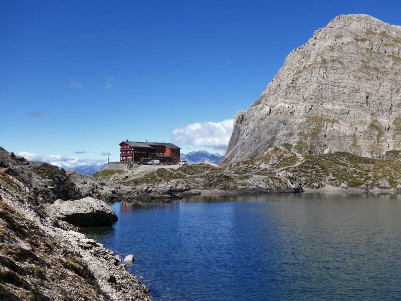
Initially we walk along a gravel road past the memorial chapel Instein-Alm where we take a steeper, partially stepped path. We follow the signposts to the Karlsbader Hütte at 2,260 m a.s.l. and walk across the Laserztal until we reach the forest limit. At the foot of the impressive rock walls of the Dolomites we can already recognise the mountain hut.
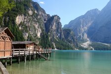
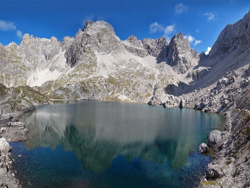
After less than two hours of walking we arrive at our destination but we decide to undertake a side trip to the nearby Laserzsee lake, a wonderful natural treasure, before enjoying a delicious lunch at the hut in a stunning mountain landscape. For the return we take a slightly longer but less steep gravel road.
Date of the hike: 20 September 2015
Last updated in: 2026
Author: AT
-
- Starting point:
- parking space at Rauchkofel at the end of the Lienz Dolomites Road (Lienzer Dolomitenstraße)
-
- Overall time:
- 03:30 h
-
- Total route length:
- 9,6 km
-
- Altitude:
- from 1.592 m to 2.266 m
-
- Altitude difference (uphill | downhill):
- +705 m | -705 m
-
- Route:
- Dolomitenhütte Mountain Hut - Instein Chapel - Laserztal valley - Karlsbader Hütte Mountain Hut - Lake Laserzsee
-
- Signposts:
- no. 12, Karlsbader Hütte
-
- Destination:
- Karlsbader Hütte mountain hut, Laserzsee Lake
-
- Resting points:
- Karlsbader Hütte
-
- Recommended time of year:
- Jan Feb Mar Apr May Jun Jul Aug Sep Oct Nov Dec
-
- Download GPX track:
- Hike from the Dolomitenhütte hut to Lake Laserzsee
If you want to undertake this hike, we recommend you to check the weather and trail conditions in advance and on site before setting out.