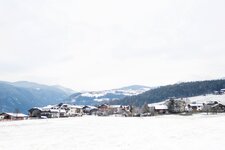
This circular hike along the “Dörferrunde” takes us from Rio Pusteria to the Gola della Rienza and back to our starting point
Image gallery: Hike through the Rienza Gorge to Rodengo
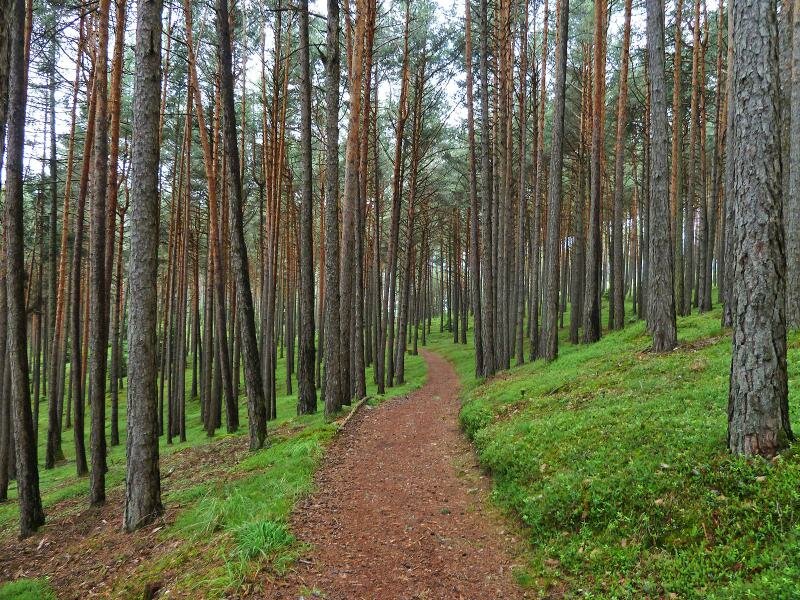

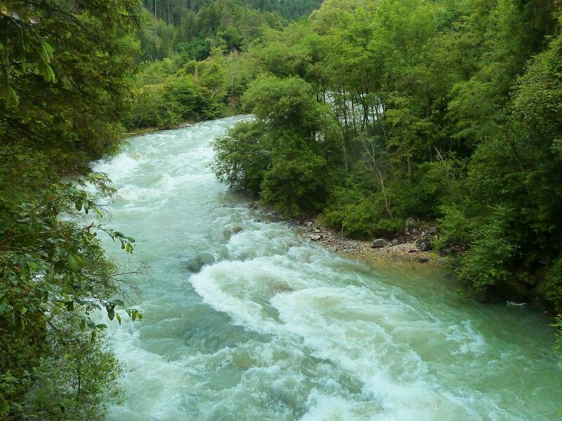
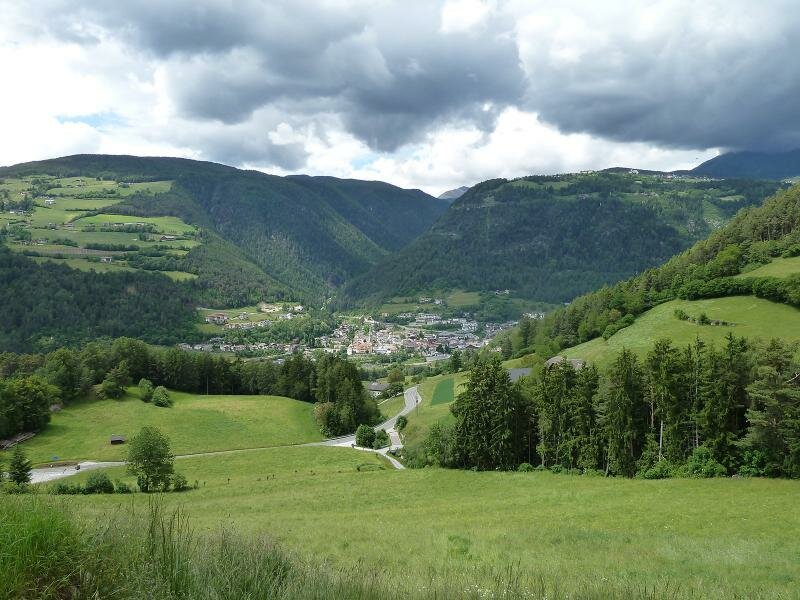
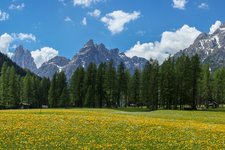
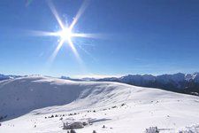
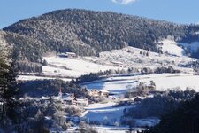
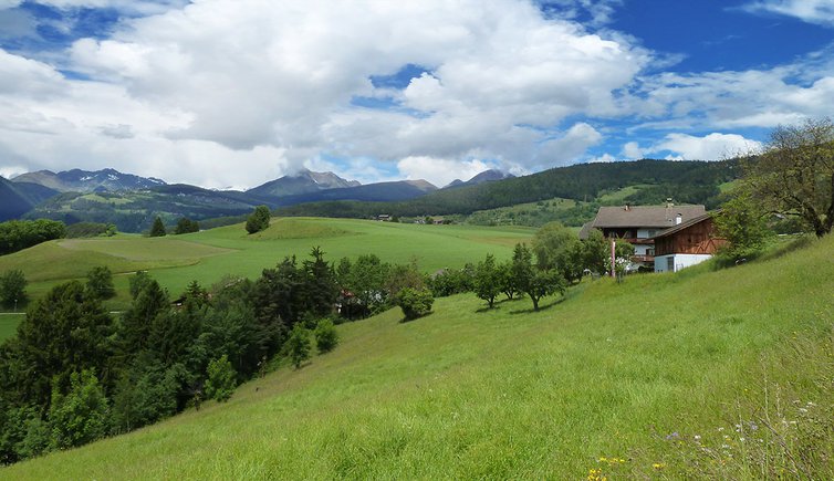
On an early summer day with unpredictable weather we decide to undertake a hike in the natural and cultural landscape near the valley. We will not climb up the mountains because of the concrete risk of thunderstorms in high alpine areas. We cross the gorge of the turbulent Rienza stream before its waters turn calm and descend to Bressanone. We ascend to Castel Rodengo and visit some villages in the municipality of Rodengo which is embedded in a hilly landscape, mainly characterised by forests and meadows.
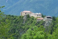
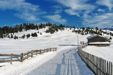
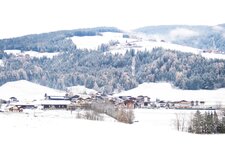
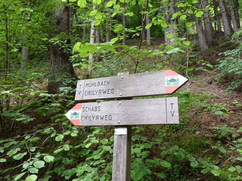
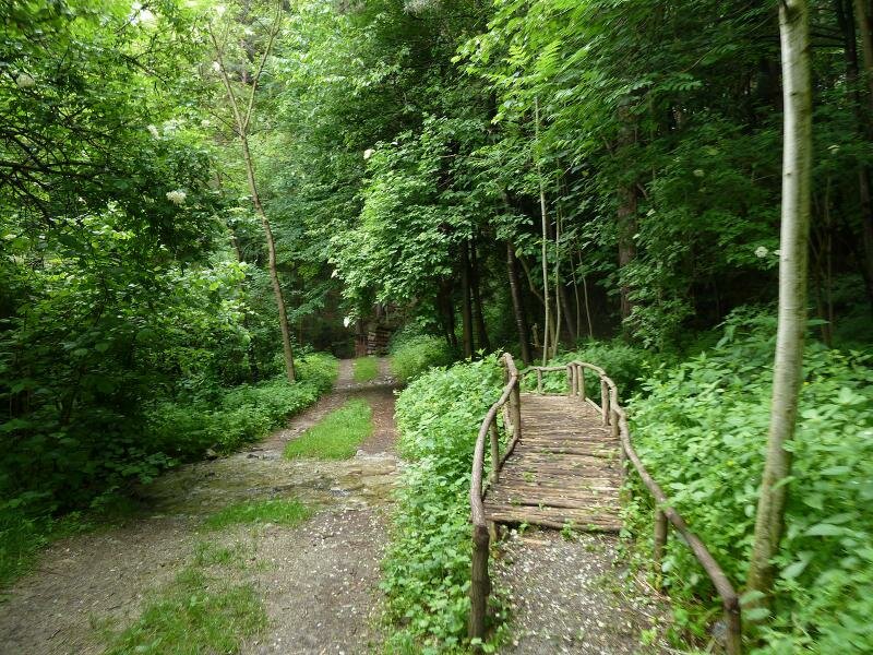
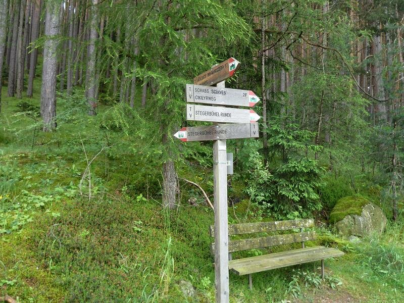
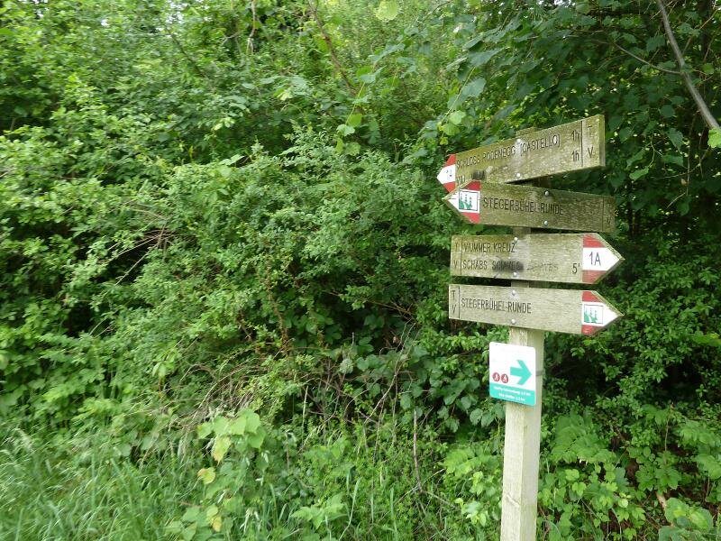
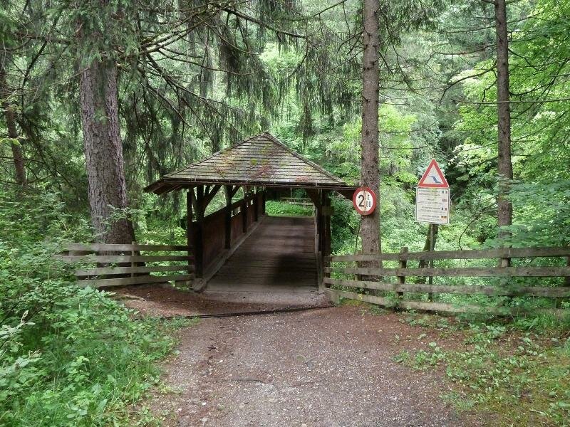
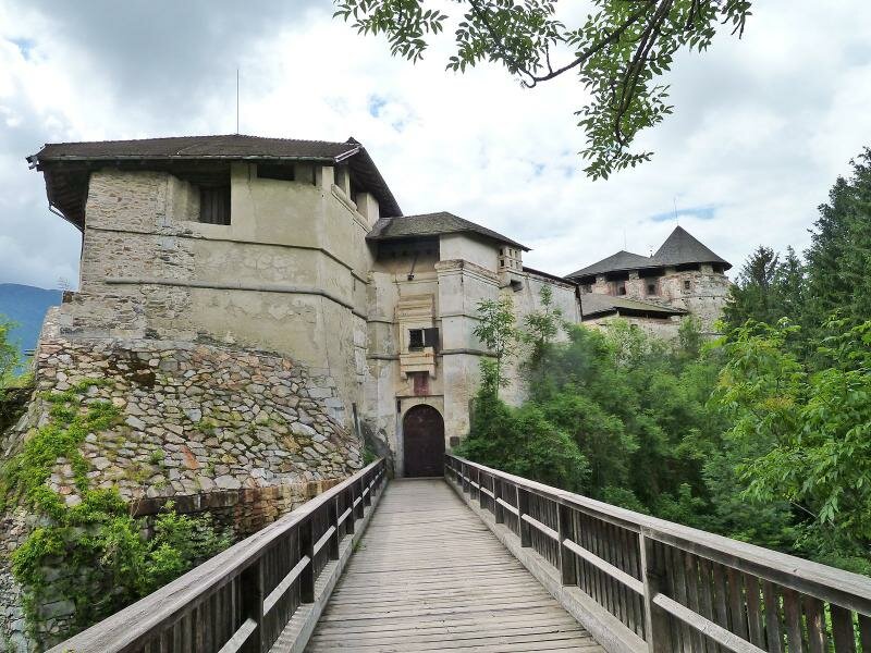
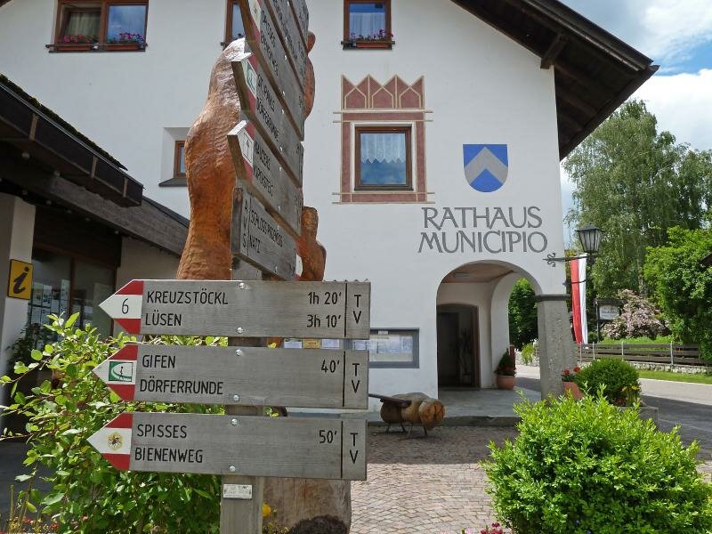
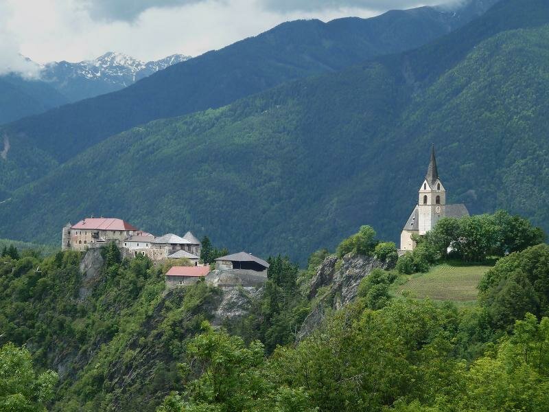
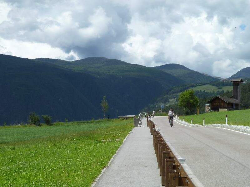
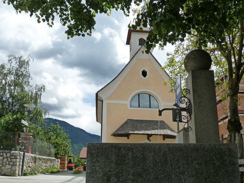
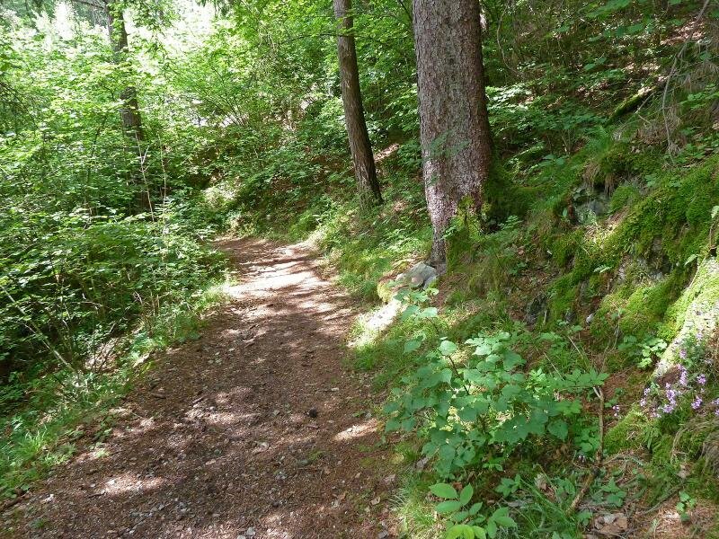
In Rio Pusteria we follow the signpost "Cikilyrweg" which leads us directly into the Rienza Gorge. The first few kilometres wind along a comfortable path through the valley with only a short slope in the surroundings of Sciaves. Near a field we take the path of the "Stegerbühelrunde" branching off to the left and arrive at the Viummer Kreuz above the Gola della Rienza. Then, we proceed along path no. 1 towards Castel Rodengo. The path descends past the Rundlhof until it reaches a bridge crossing the Rienza stream. At the other side of the bridge we need to tackle another ascent which takes us up to the castle. Right behind the fortress begins the village of Villa, the main locality of Rodengo, where we have a break at one of its several restaurants.
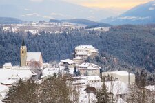
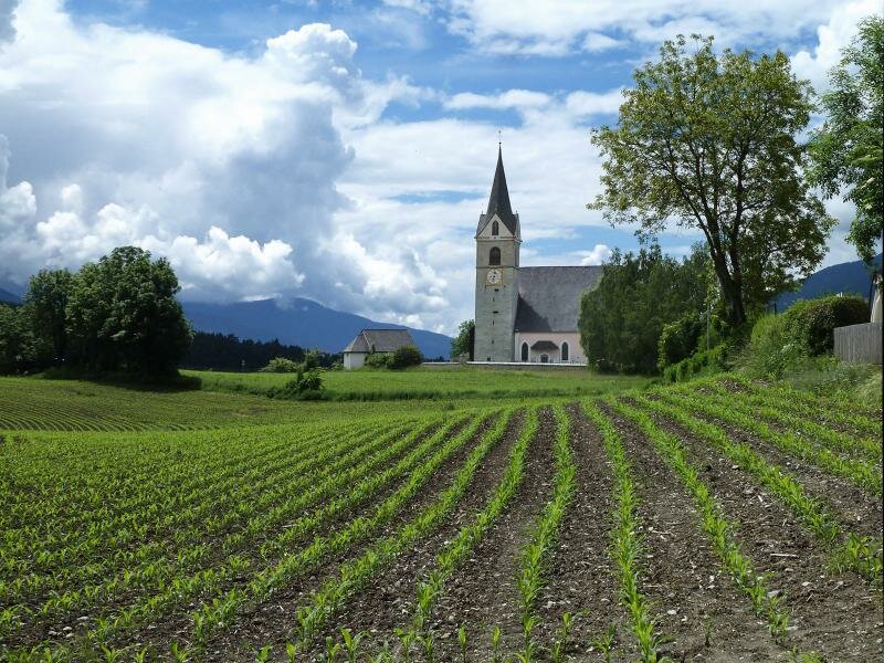
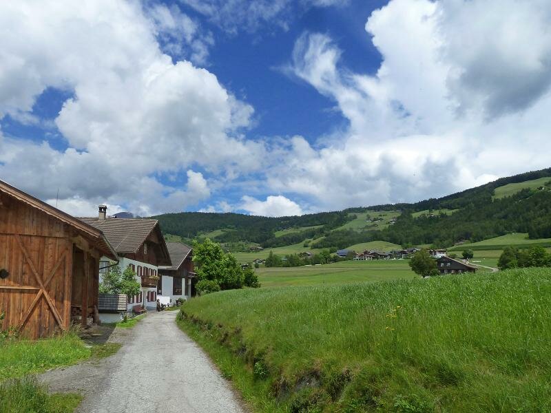
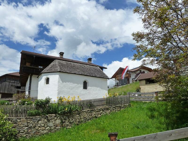
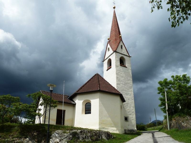
After a well-deserved break we continue our hike. Behind the town hall we follow the "Bienenweg (Bee trail) towards Spissa. We walk through a small valley and follow the signpost "Dörferrunde" to Chivo. The initial asphalt path is replaced by an unpaved path after a short section and leads us to this small village based on agriculture. We hike to San Benedetto with its small San Benedetto church and descend to San Paolo where we follow the signpost to Rio Pusteria back to our starting point.
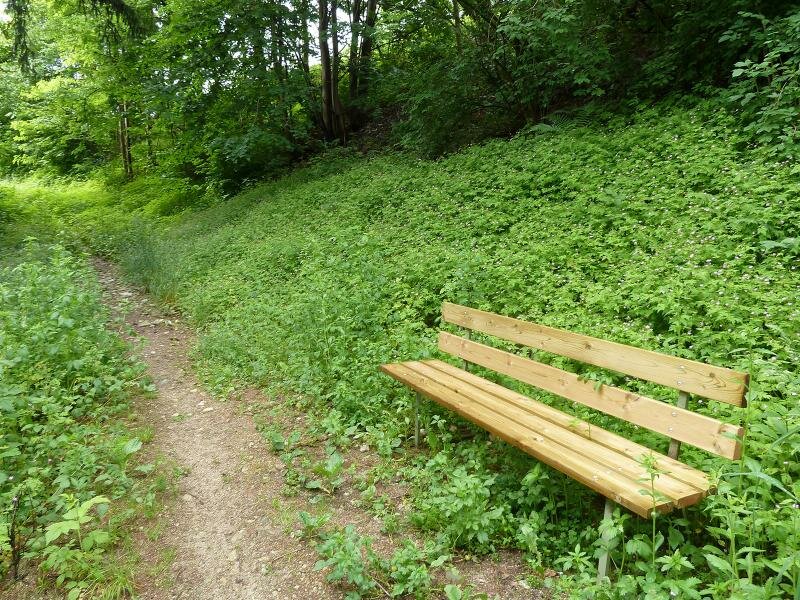
Please note: This 14 km long hike is not particularly difficult and can be undertaken in spring and autumn, but also on not too hot summer days. We don't recommend making it on hot summer days as the path from Vill is very sun-drenched.
Date of the hike: 5 June 2016
Last updated in: 2026
Author: AT
-
- Starting point:
- Rio Pusteria (village centre)
-
- Overall time:
- 03:45 h
-
- Total route length:
- 13,9 km
-
- Altitude:
- from 659 m to 1.006 m
-
- Altitude difference (uphill | downhill):
- +554 m | -554 m
-
- Route:
- Rio Pusteria - Sciaves - Fiumes Cross - Rodengo Castle - Villa - Chivo - San Benedetto - San Paolo - Rio Pusteria
-
- Signposts:
- Cikilyrweg, Stegenbühelrunde, Viummer Kreuz, Nr. 1A, 1 (Rodengo), Bienenweg, Dörferrunde, 7B, 8, 7
-
- Resting points:
- Bars and restaurants at Rodengo (Villa)
-
- Recommended time of year:
- Jan Feb Mar Apr May Jun Jul Aug Sep Oct Nov Dec
-
- Download GPX track:
- Hike through the Rienza Gorge to Rodengo
If you want to undertake this hike, we recommend you to check the weather and trail conditions in advance and on site before setting out.