This hike brings us from the hamlet of Dun in the Val di Fundres to an impressive glacial lake at 2.351 metres of altitude
Image gallery: Hike to the Lago Ponte di Ghiaccio lake
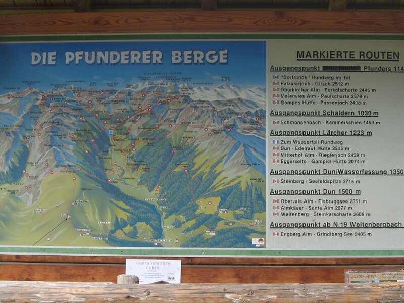
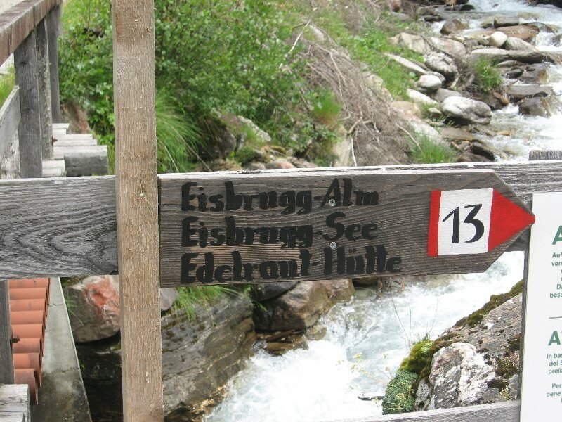
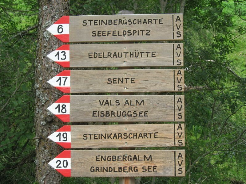

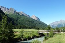
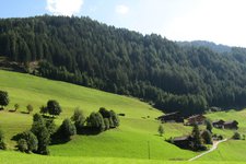
Today's hike allows us to discover the mountain world of Fundres. In the centre of Vandoies di Sotto we take the road to the Val di Fundres and drive to the hamlet of Dun at the end of the valley. There the road narrows and is delimited by a rock wall on the right and a gorge on the left. We reach a wide car park from where numerous hiking itineraries start. Equipped with a backpack and trekking sticks we follow an asphalt road. Our destination is already indicated on the signposts along path no. 13: Eisbruggsee and Edelrauthütte. After a hairpin bend near the Luzerhof, a large forest path towards malga Bodenalm (former malga Egger Bödenalm) starts. About 20 minutes later we take path no. 13 which branches off to the right before a bridge.
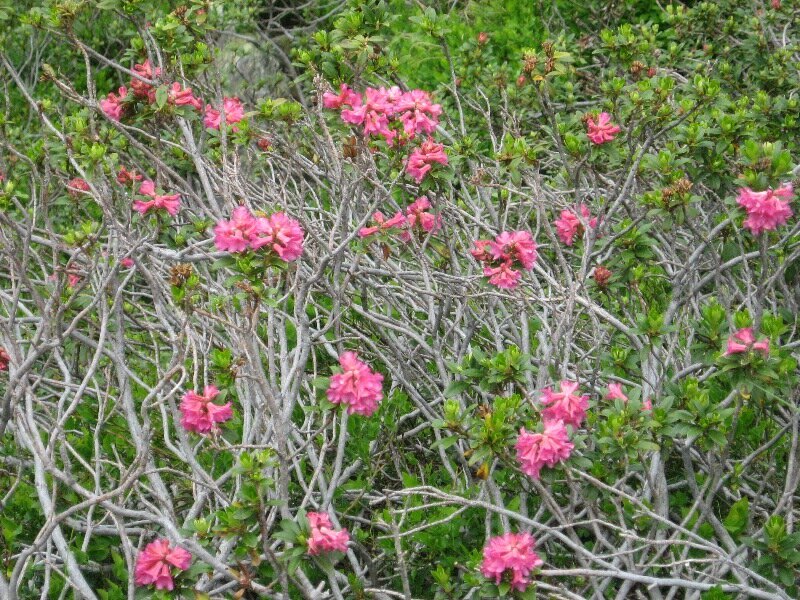
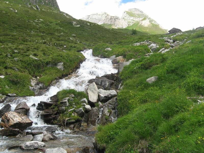
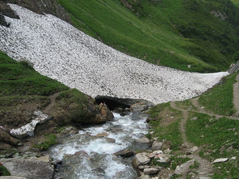
The next section runs across a forest along the right bank of the Rio di Fundres and proceeds to malga Bodenalm. From there on the path becomes steeper and steeper and after one hour of walking we begin to sweat although the mountain air is actually cool. Having walked past the "Eggerböden" alpine meadows, our itinerary flattens and narrows before taking us to the so-called "Ponte di Ghiaccio" (literally ice bridge) where snow almost never melts. Fortunately the next section is less challenging and allows us to regain some energy. We continue hiking along Rio di Fundres through the Val di Fundres.
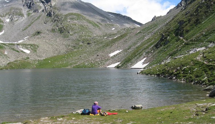
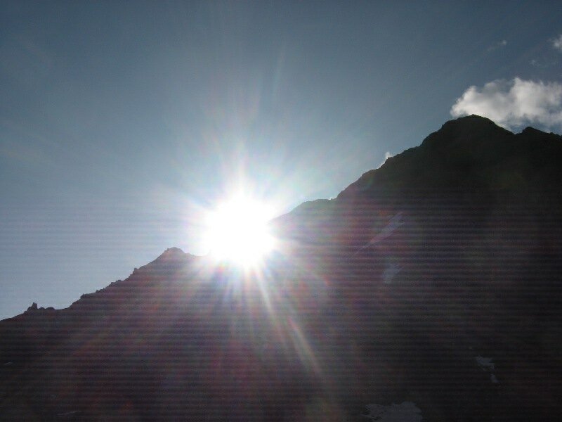
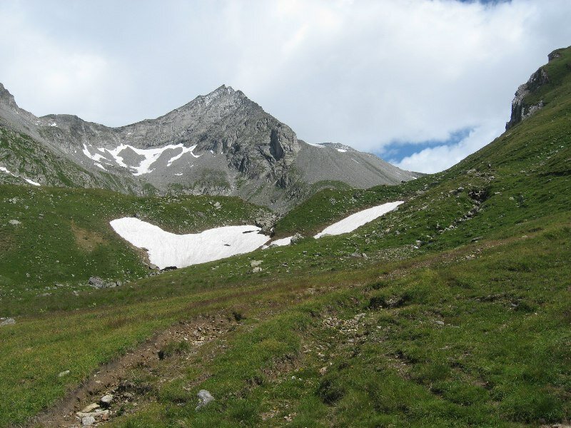
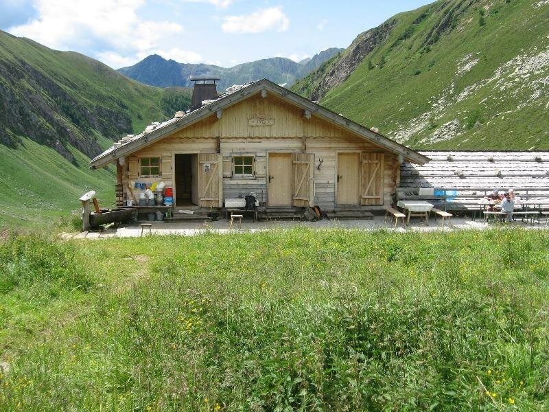
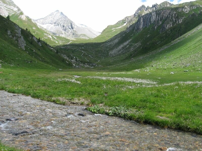
From here it will take us about one hour to reach malga Eisbruggalm at 2.154 m s.l.m. and the path gets steeper again. This malga is open in summer and sells home-made cheese and butter. After a short stop and a sip of cool water from the fountain we proceed our excursion along path no. 14. From here we need to walk for another hour to reach our final destination. The steepness of the path increases and we turn around for a moment to have a look on the path we already left behind us. Our final destination, Lake Ponte di Ghiaccio is immersed in a basin and surrounded by the impressive alpine peaks. Finally we can relax by this marvellous mountain lake.
We return along the same path. Alternatively you could descend to the valley by taking path no. 18 which runs past malga Valser (Valser Alm) and the Forcella di Valles (Valser Scharte). The second alternative presents a quite steep and challenging initial section but after 30 minutes it turns into a large forest path down to the valley. In the final section the two paths meet and lead to the starting point.
Please note: it is highly recommended to wear hiking shoes as the path is sometimes slippery. This hike requires a good physical fitness, endurance and a minimum of mountain experience. However, it can be completed without any difficulties by moderately trained hikers. Right of Lake Ponte di Ghiaccio starts path no. 13 to the rifugio Ponte di Ghiaccio (Edelrauthütte), a refreshment point with possibility of overnight stays which can be reached after one hour of walking time from the lake. The very kind manager of the mountain hut is looking forward to preparing you an exquisite "Kaiserschmarren", a tyical South Tyrolean dessert. Besides being a popular starting point for different alpine tours (including a hike to Punta Bianca at 3,370 metres of altitude), the mountain hut is also part of the famous "Pfunderer Höhenweg" high-altitude path.
Date of the hike: 24 June 2009
Last updated in: 2026
Author: BS
-
- Starting point:
- parking space in Dun, Val di Fundres valley
-
- Overall time:
- 04:15 h
-
- Total route length:
- 11,0 km
-
- Altitude:
- from 1.547 m to 2.351 m
-
- Altitude difference (uphill | downhill):
- +804 m | -804 m
-
- Route:
- Dun - Egger Bödenalm mountain hut - "Ponte di Ghiaccio" - Valle Ponte di Ghiaccio valley - Malga Ponte di Ghiaccio mountain hut - Lago Ponte di Ghiaccio lake
-
- Signposts:
- 13
-
- Destination:
- Lago Ponte di Ghiaccio lake
-
- Resting points:
- Egger Bödenalm mountain hut, Malga Ponte di Ghiaccio mountain hut
-
- Recommended time of year:
- Jan Feb Mar Apr May Jun Jul Aug Sep Oct Nov Dec
-
- Download GPX track:
- Hike to the Lago Ponte di Ghiaccio lake
If you want to undertake this hike, we recommend checking the weather and trail conditions in advance and on site before starting this hike!