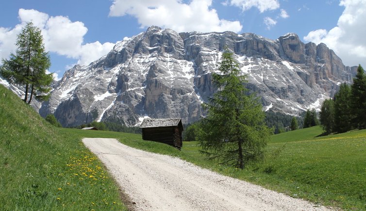
The Sasso di Santa Croce or also called Rosskofel is part of the Fanes-Senes-Braies-Nature Park
Image gallery: Sasso di Santa Croce
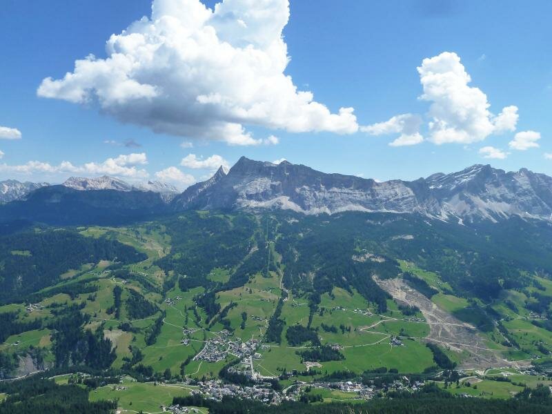

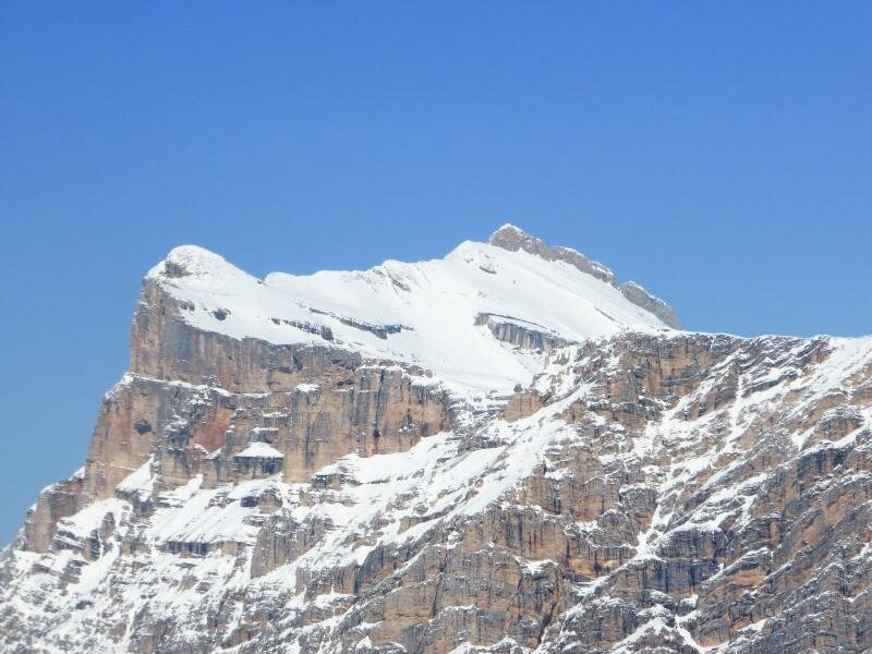
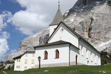
The 2,907 m high Sasso di Santa Croce (Heiligkreuzkofel in German) in the Fanes Mountain Group, is located at the eastern border of the Val Badia valley. Beneath the west wall the Santa Croce Pilgrimage Church and the Sasso Croce Mountain Hut (2,045 m a.s.l.) in the municipality of Badia are located. This mountain hut was built already in 1718 and has been under monumental protection since the 1980s.
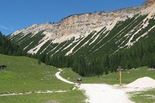
In Ladin language, the mountain is known as Sas dla Crusc, it is accessible from the Fanes High Plateau. In a six-hour-long alpine tour, the path takes you from the pilgrimage site Santa Croce to the Kreuzkofelscharte gap (2,612 m) and along a trail to the summit cross.
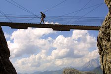
A famous climbing route on the Sasso di Santa Crose is the “Mittelpfeiler”. This route was opened in 1968 by Reinhold and Günther Messner and valued with a difficulty level of VI. It is among the most difficult routes on the mountain.