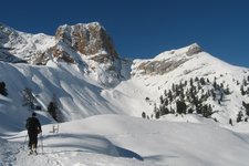
Today we undertake a ski tour along a wonderful forest path to the Plan de Corones at 2,275 m a.s.l
Image gallery: Ski tour along the AVS Path - Mt Plan de Corones
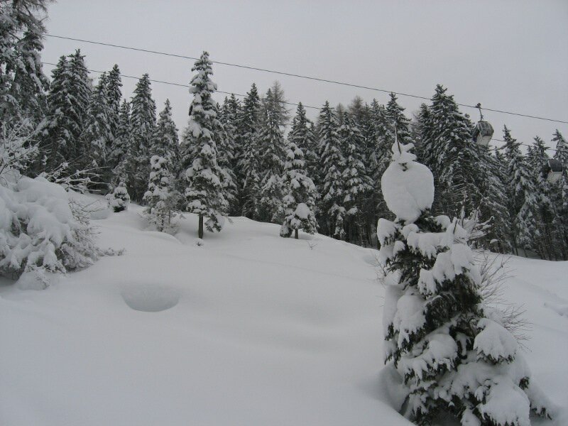
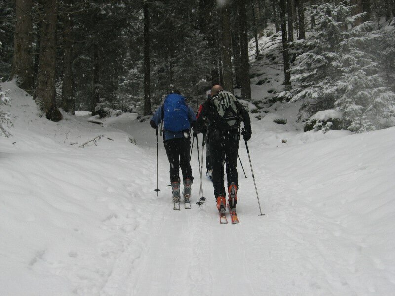
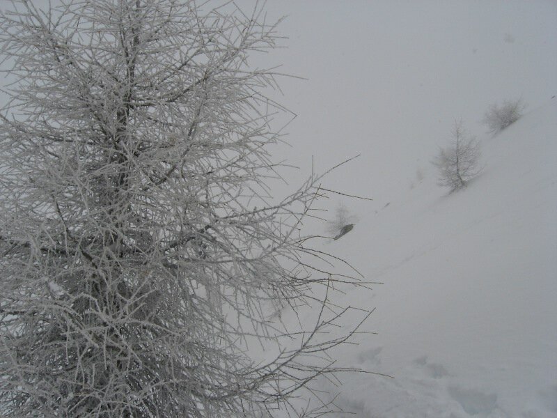
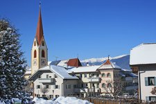
We drive to Riscone and park near the Steakhouse restaurant (approx. 910 m a.s.l.). We cross the car park, get on our skis and follow the Herrnegg piste uphill. You could also leave your car at a small car park further north to save 80 metres of elevation gain. Heavy snowfall accompanies us during our tour.
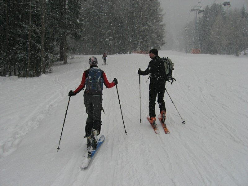
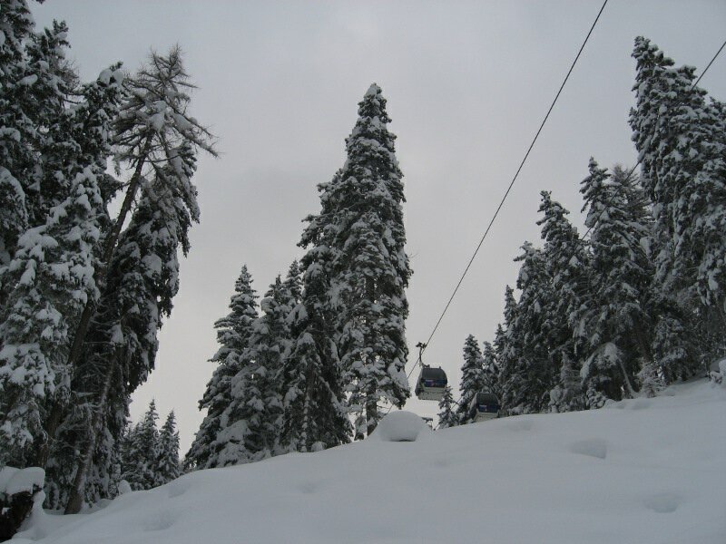
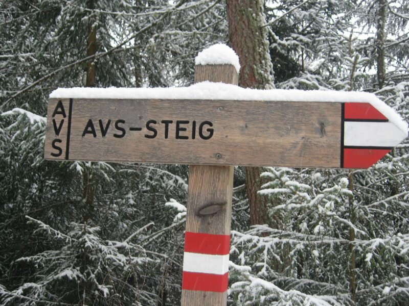
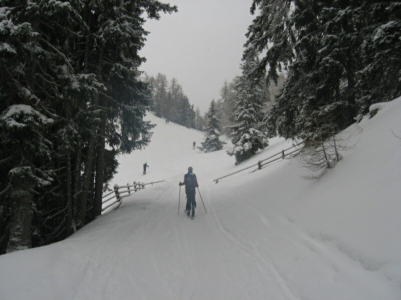
Soon the well-marked AVS path branches off to the right. In summer this itinerary is popular with hikers, whereas in winter it is covered by enthusiastic ski mountaineers. The path runs across the forest to the peak of the Plan de Corones and is an interesting alternative to classic winter days on the ski slopes as ski mountaineering is practised off-piste. Some sections of the path are rather steep. We walk under the ropes of the cable car and then uphill to the Plan de Corones.
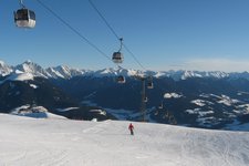
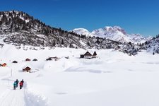
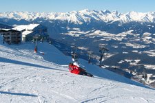
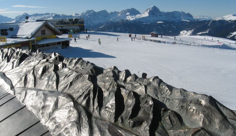
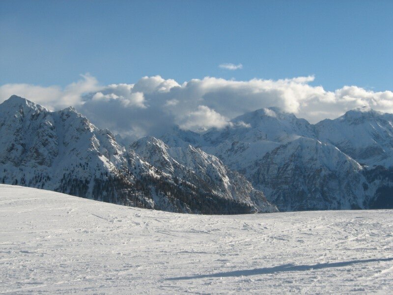
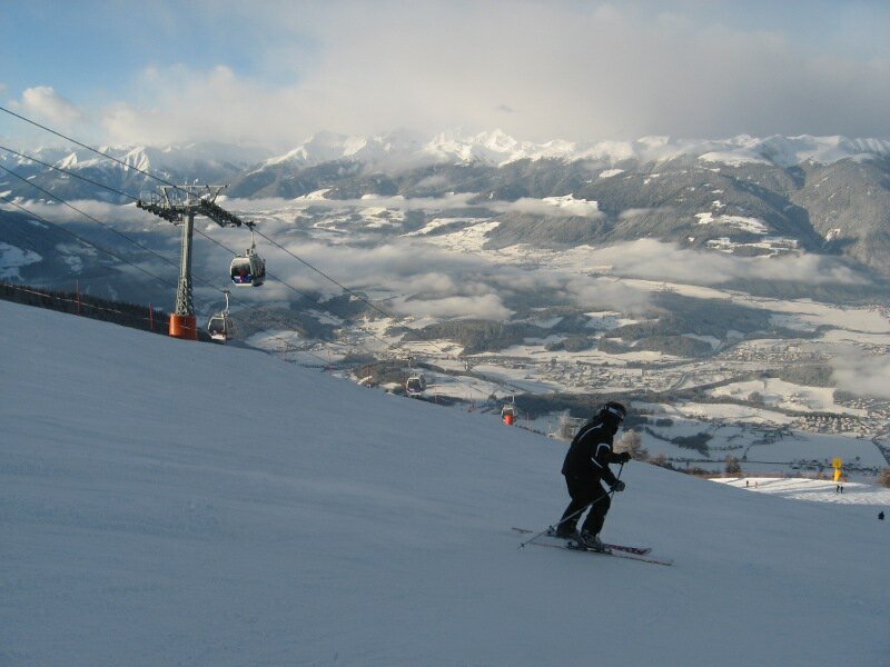
Slightly lower than the peak we can hear the ringing of the Concordia Peace Bell on the Plan de Corones. We keep to the right while we ascend to the highest point (2,275 m a.s.l.) where we can choose between several refreshment points. After a hearty lunch under the winter sun we are ready for our descent to Riscone with the other skiers either on the Sylvester or the Herrnegg slope.
Please note: this AVS path is a valid alternative in case of bad weather. According to Legislative Decree no. 40/2021 art. 24 effective since 1 January 2022, accessing the ski slopes with or without snowshoes is strictly prohibited, except for emergencies. Good physical fitness is required to face the considerable elevation gain of the tour.
Medium inclination: 23.4%
Author: BS
Date of the excursion: 11 December 2010
Last updated in: 2026
-
- Starting point:
- parking space at the Steakhouse restaurant in Via Funivia, Riscone
-
- Overall time:
- 03:00 h
-
- Total route length:
- 5,2 km
-
- Altitude:
- from 910 m to 2.275 m
-
- Altitude difference (uphill | downhill):
- +1365 m | -0 m
-
- Signposts:
- AVS-Steig
-
- Destination:
- Plan de Corones
-
- Recommended time of year:
- Jan Feb Mar Apr May Jun Jul Aug Sep Oct Nov Dec
-
- Download GPX track:
- Ski tour along the AVS Path - Mt Plan de Corones
We suggest you to check the weather conditions in advance and on site before setting out. Don’t forget to check the current avalanche forecast!