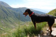
Today we undertake an easy circular hike on Monte Thurntaler, the local mountain of Sillian
Image gallery: Mt Thurntaler circular hike
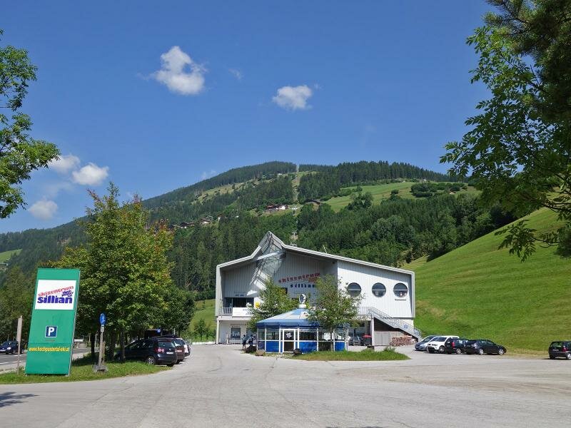
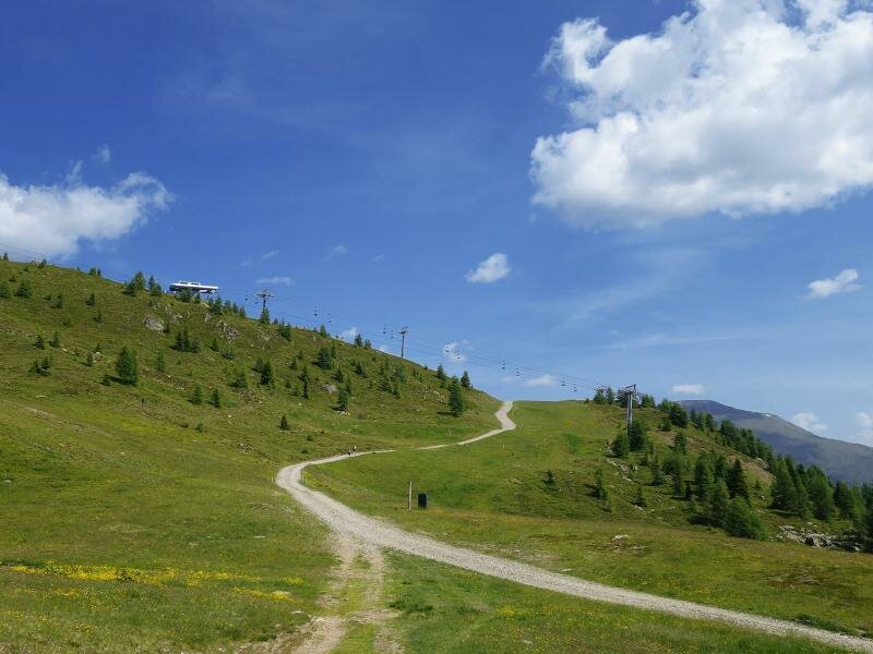
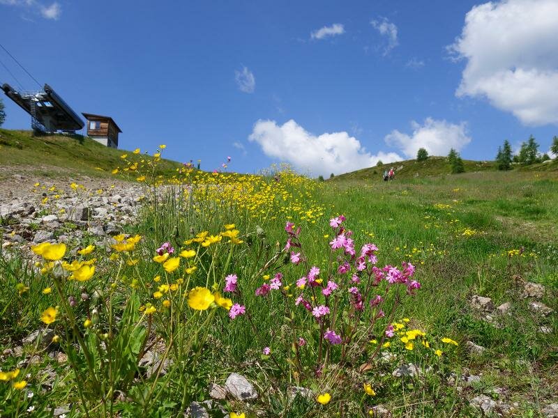
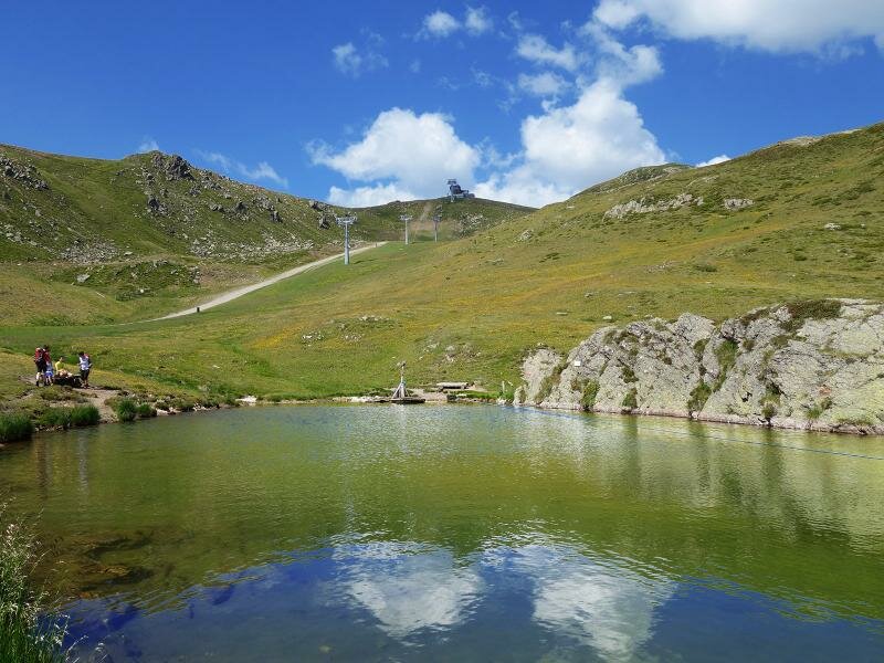
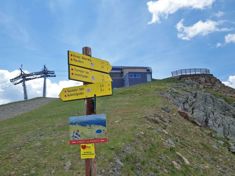
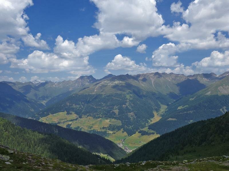
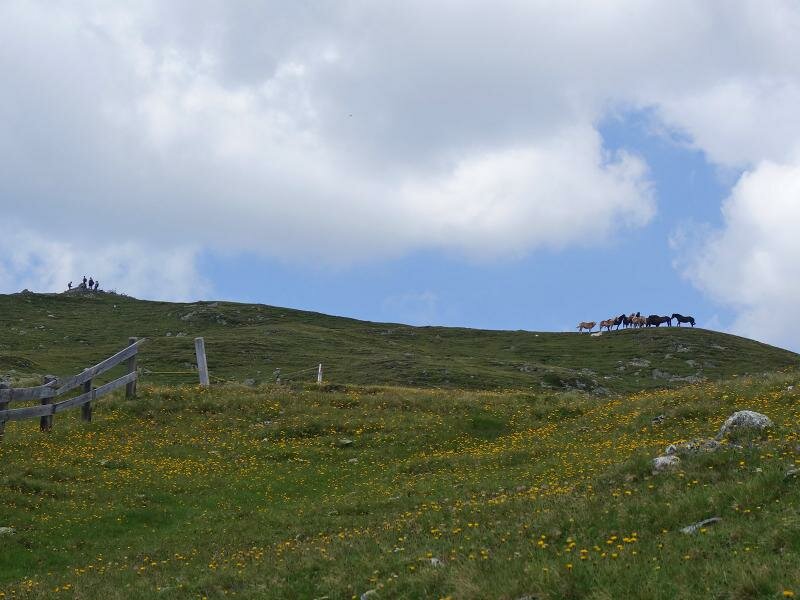
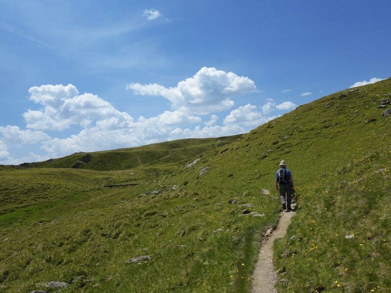
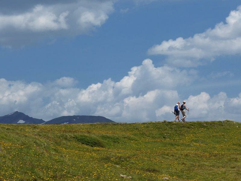
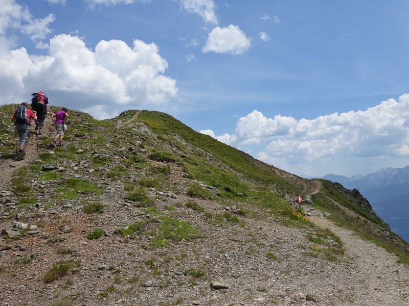
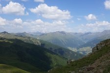
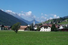
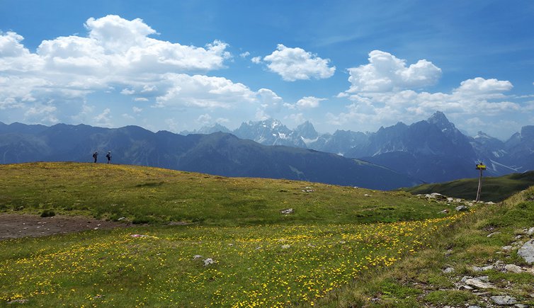
Mount Thurntaler in East Tyrol between the Alta Pusteria and the Villgratental valley delights us with a stunning view of the surrounding peaks. The cable car of the Sillian skiing area takes us to the mountain station Gadein at 2,100 m a.s.l. The initial section of the gravel road leads slightly uphill towards north before getting steeper. After about 30 minutes of walking we arrive at the three lakes (Drei Seen). The path continues to the peak of Mount Thurntaler (mountain station of the chair lift) where we take the high-altitude path "Bonner Höhenweg" along the crest towards west.
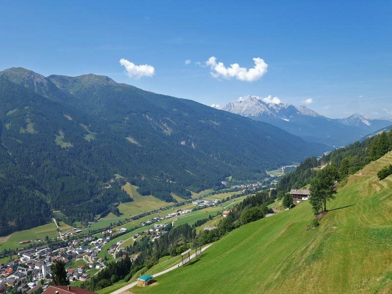
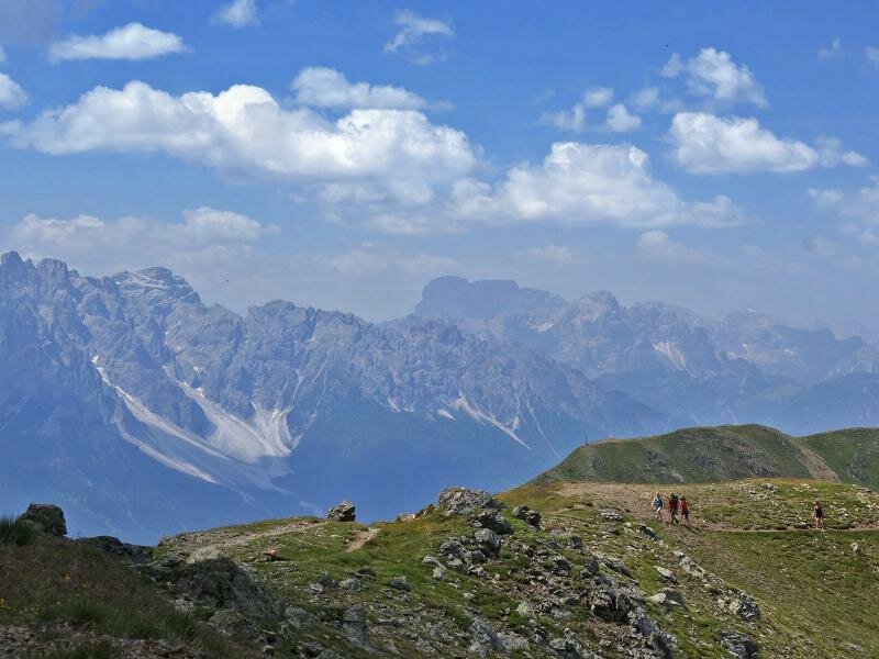
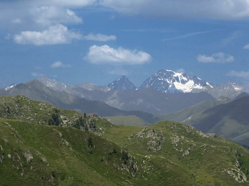
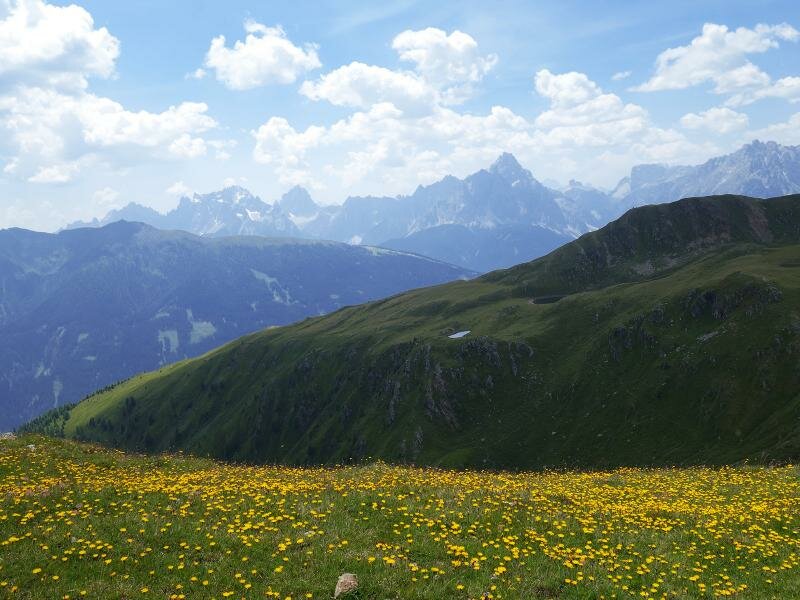
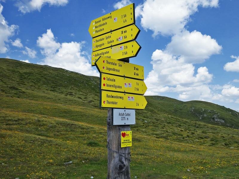
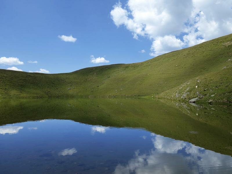
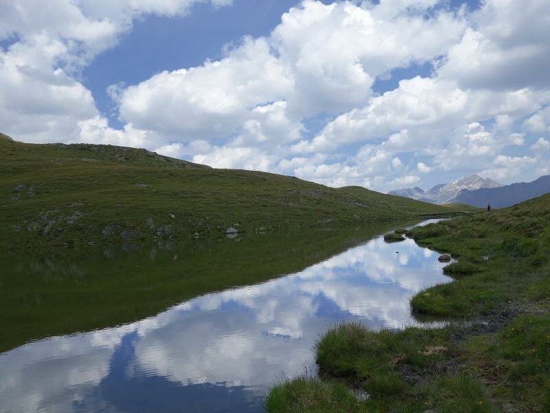
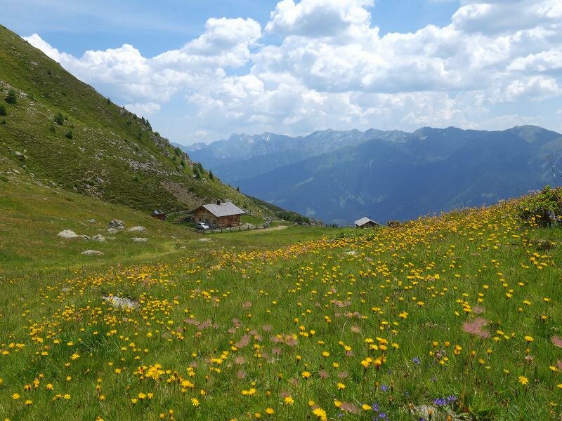
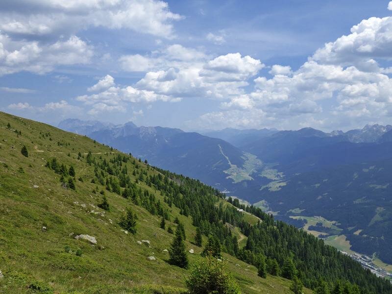
Having arrived at the Astatt Sattel pass, we are ready for a side trip to lake Thurntaler which is only one kilometre towards southwest from here. On our way we enjoy a beautiful view of the carnic crest, the Villgraten Mountains and the Venediger group in the north. We return to the Astatt Sattel where we follow path no. 10b towards Gadein/Bergstation. The itinerary delights us with a marvellous view of the Alta Pusteria and the entrance to the valle Lesachtal. At the mountain station we take the cable car back to Sillian.
Please note: in summer the cable car of Sillian doesn't operate every day. Therefore, we recommend checking the opening hours beforehand.
Date of the hike: 5 July 2015
Last updated in: 2026
Author: AT
-
- Starting point:
- Gadein mountain station (Sillian/Panzendorf)
-
- Overall time:
- 03:10 h
-
- Total route length:
- 9,3 km
-
- Altitude:
- from 2.089 m to 2.376 m
-
- Altitude difference (uphill | downhill):
- +363 m | -363 m
-
- Route:
- Gadein - Three Lakes - Mt. Thurntaler - Bonn High Route - Astatt Saddle - Lake Thurntaler - Astatt Saddle - Äussere Hochalm Mountain Hut - Gadein
-
- Signposts:
- Drei Seen, no. 10, Thurntaler See, 10, 10B
-
- Destination:
- Lake Thurntaler See
-
- Resting points:
- Gadein mountain station
-
- Recommended time of year:
- Jan Feb Mar Apr May Jun Jul Aug Sep Oct Nov Dec
-
- Download GPX track:
- Mt Thurntaler circular hike