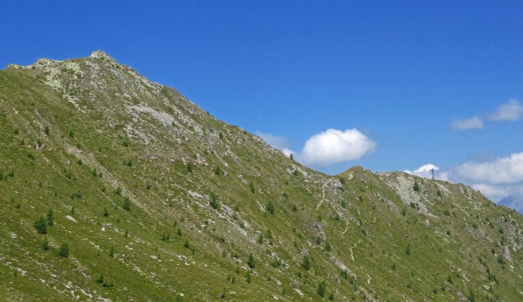
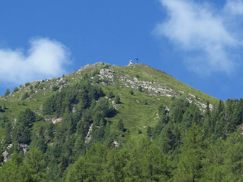
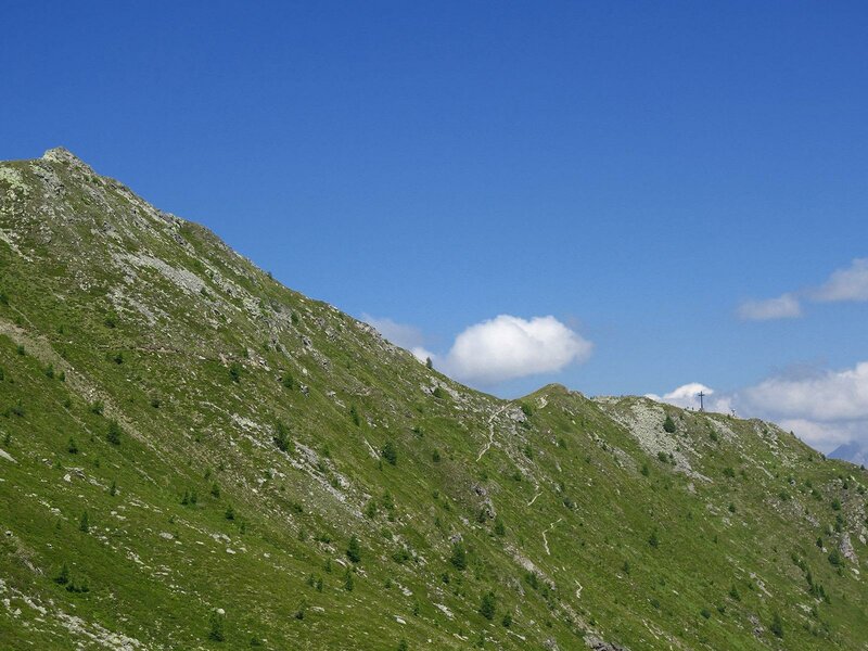
The Sillianer Heimkehrerkreuz at 2,373 m a.s.l. stands on an outpost of Monte Füllhorn on the Carnic ridge. After a long ascent across the Leckfeldalm, the view of the East Tyrolean mountains is truly spectacular
Image gallery: From Sillian to the Heimkehrerkreuz cross
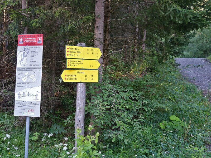
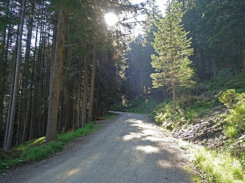
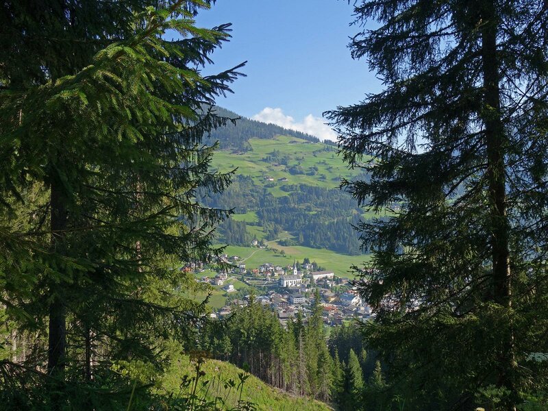
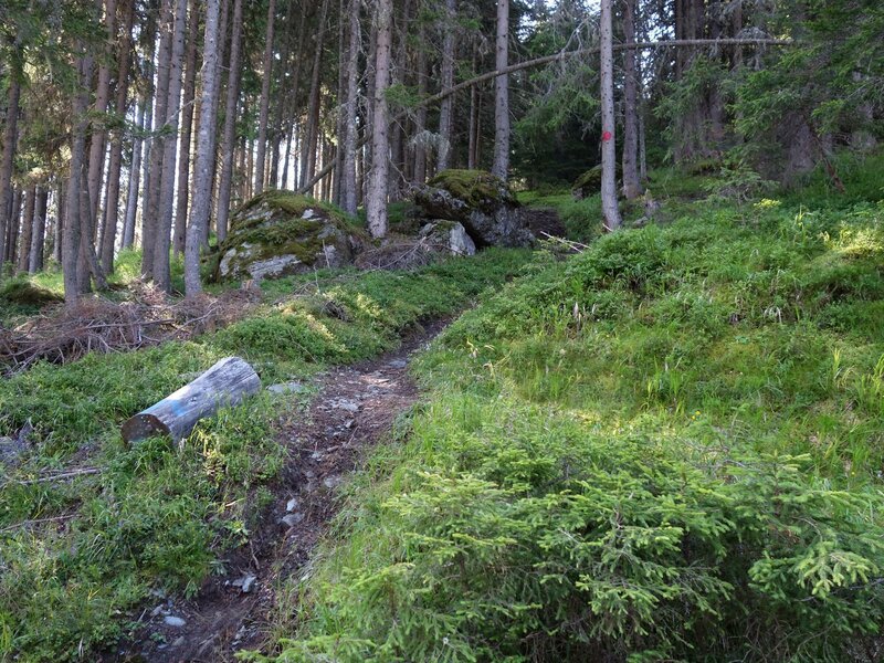
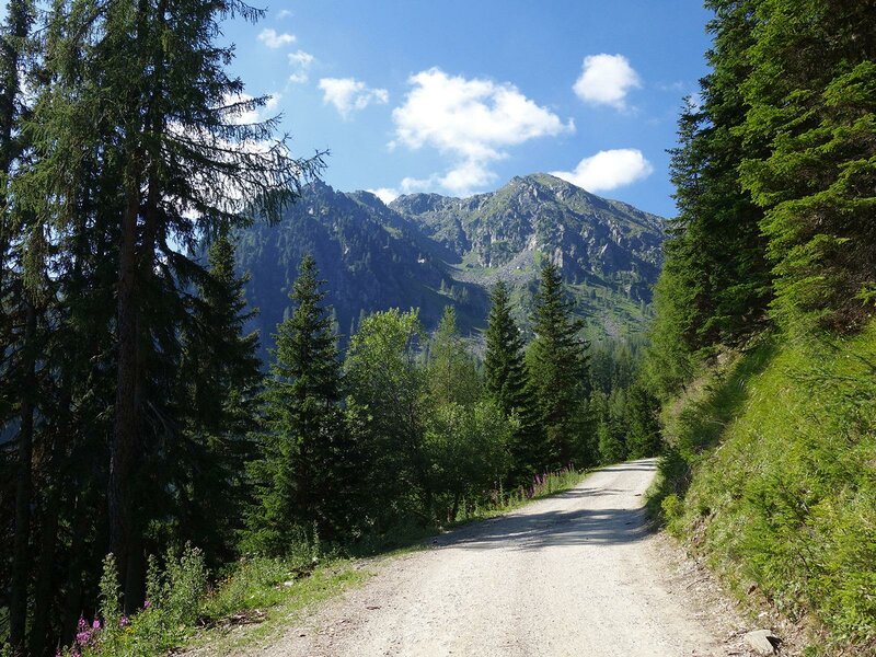
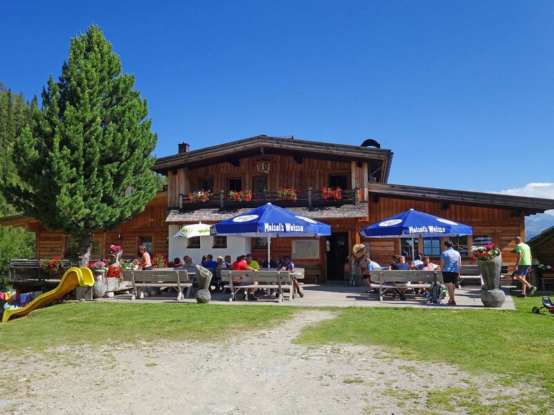
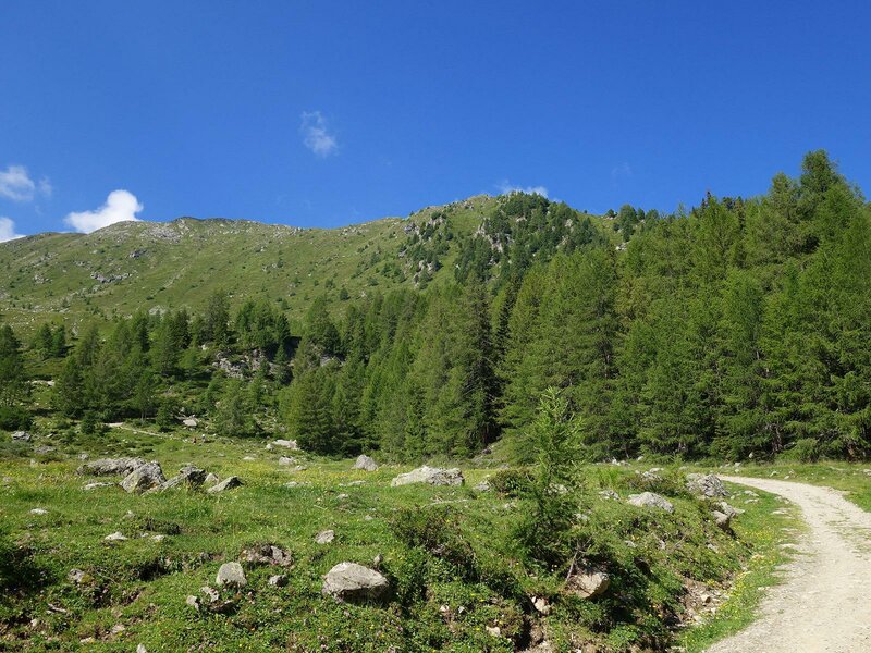
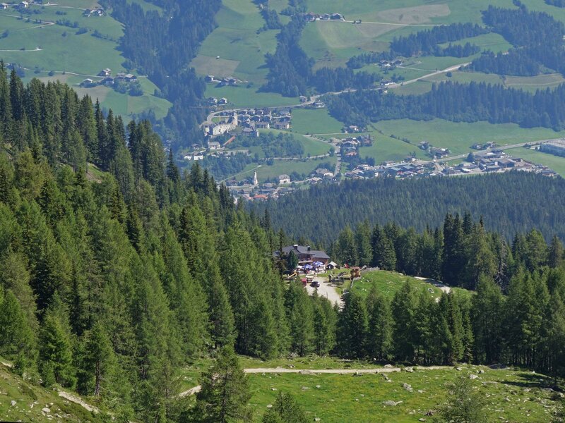
The starting point of today's hike across the Leckfeldalm to the Heimkehrerkreuz cross, is situated at the western border of the village of Sillian, behind the Drava bridge which leads to the Wichtelpark adventure park. Path no. 463 starts at the edge of the forest. The elevation gain between the starting point and malga Leckfeldalm, our first destination, is about 850 metres. For about 2 hours we walk along a forest road running across a shady slope leading up to the malga Leckfeldalm. We stop for a break at this popular hut offering delicious local dishes.
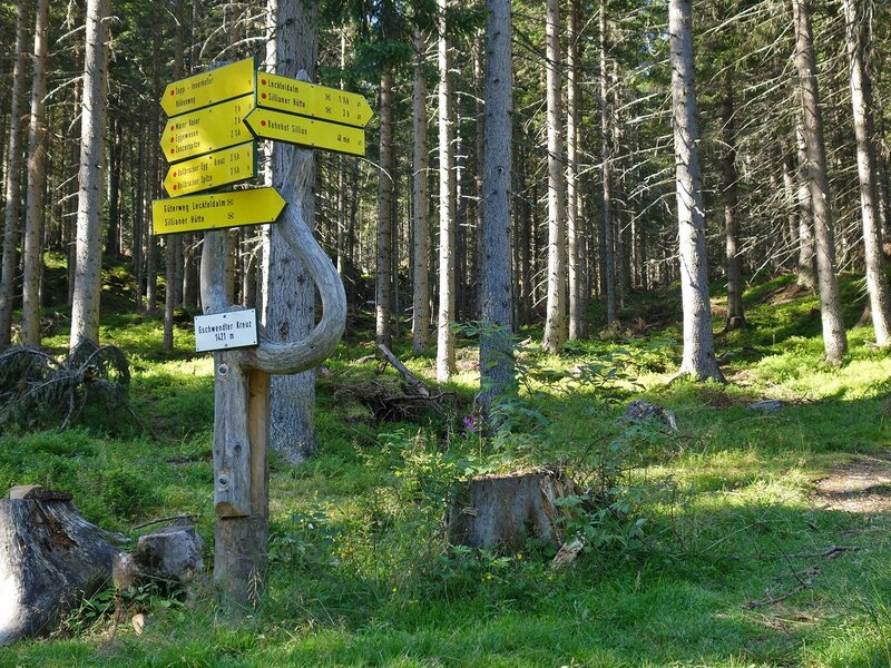
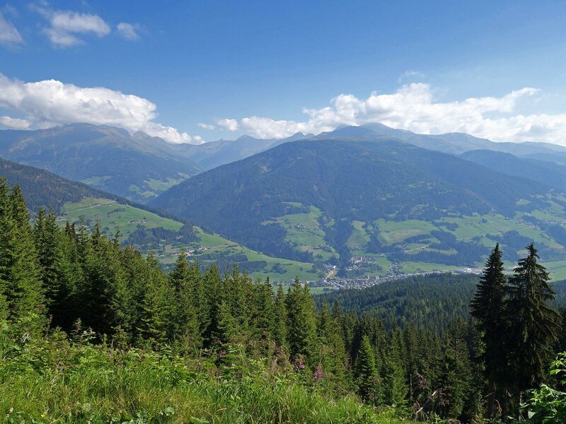
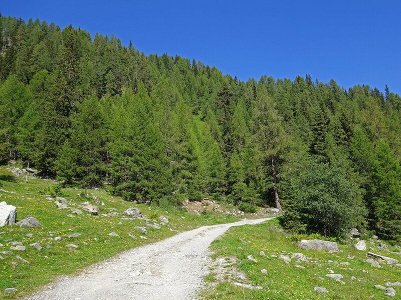
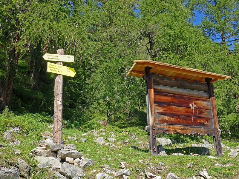
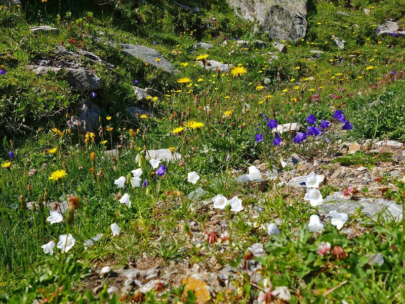
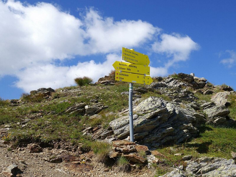
From here we could take different paths to our destination. After the bend above malga Leckfeldalm we could either turn left towards the rifugio Sillianer (path no. 471) or turn right onto path no. 14. Despite its initial appearance, path no. 471 is actually easier to walk. The road leading to rifugio Sillianer ascends across flowered meadows towards the Leckfeldsattel pass. At an altitude of approximately 2,250 m a.s.l., path no. 13 to the Heimkehrerkreuz cross, branches off on the right. This cross was erected in 1948 by the war veterans of East Tyrol. The view ranges from the Alti Tauri to the Lienz Dolomites and the southern peaks of the Carnic ridge.
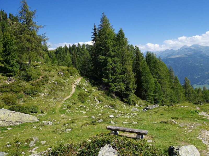
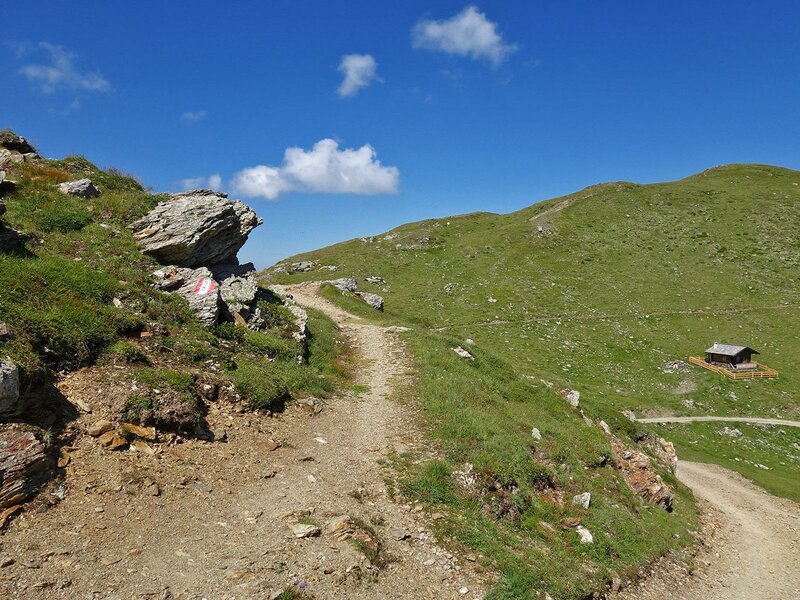
A variant in the final section of the path takes us to the rifugio Sillianer: instead of continuing on path no. 13 we proceed along an unpaved road. We walk past lake Füllhorn on the Leckfeld pass and the mountain hut on the ridge, where you can enjoy a stunning view of the Sesto Dolomites. From the ridge we take the higher part of the rather flat path no. 14 to the Heimkehrerkreuz cross.
Date of the hike: 8 August 2020
Last updated in: 2026
Author: AT
-
- Starting point:
- Sillian, Drau bridge near "Wichtelpark"
-
- Overall time:
- 05:40 h
-
- Total route length:
- 14,3 km
-
- Altitude:
- from 1.109 m to 2.375 m
-
- Altitude difference (uphill | downhill):
- +1262 m | -1262 m
-
- Signposts:
- No. 473, Leckfeldalm, No. 471, Heimkehrerkreuz, No. 13 or 14
-
- Destination:
- Heimkehrerkreuz summit cross
-
- Resting points:
- Leckfeld Alm
-
- Recommended time of year:
- Jan Feb Mar Apr May Jun Jul Aug Sep Oct Nov Dec
-
- Download GPX track:
- From Sillian to the Heimkehrerkreuz cross
If you want to undertake this hike, we recommend you to check the weather and trail conditions in advance and on site before setting out.