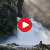
Today we are going to visit the impressive waterfalls of Riva near Campo Tures
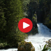
Image gallery: Hike to the Riva Waterfalls
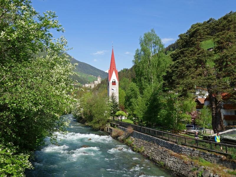
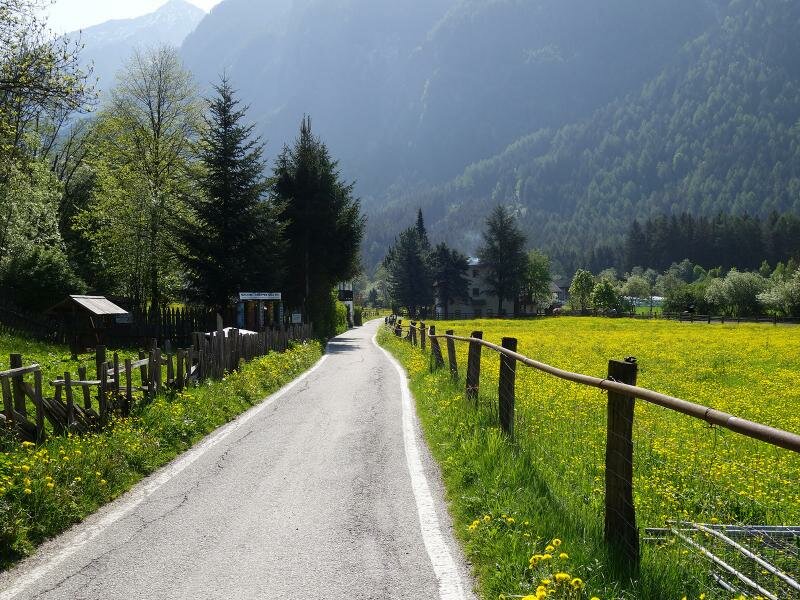
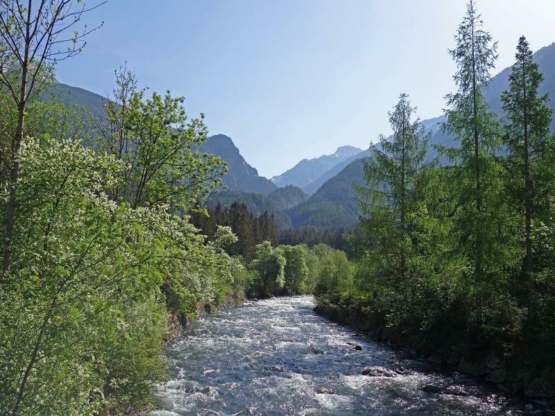
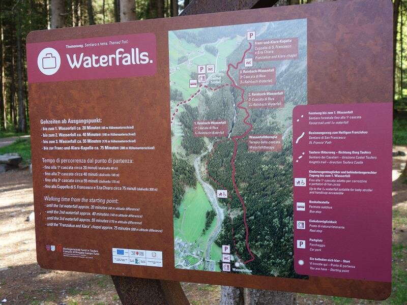
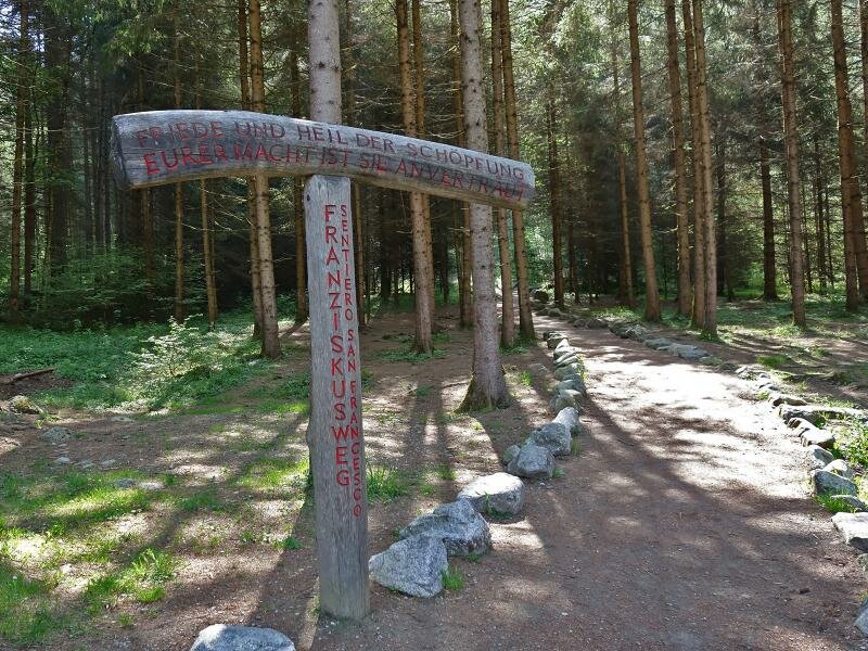
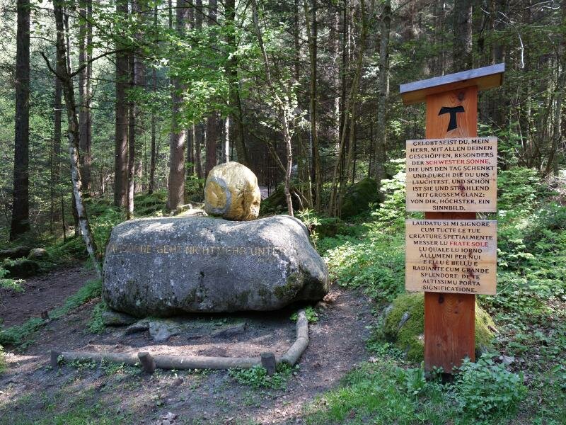
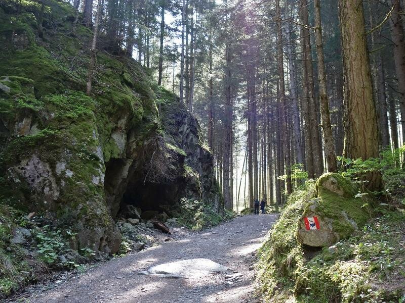
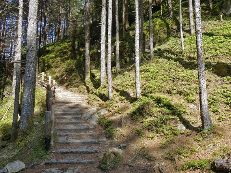
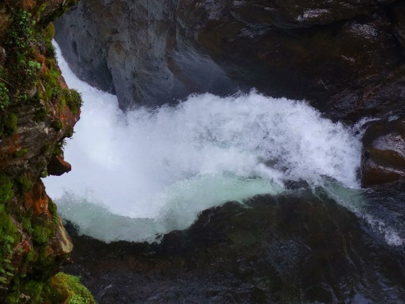
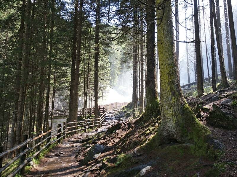

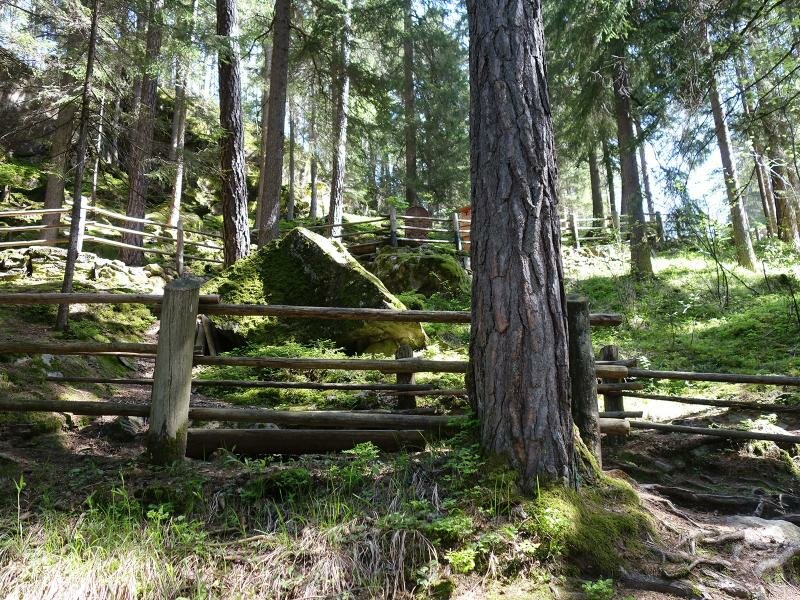
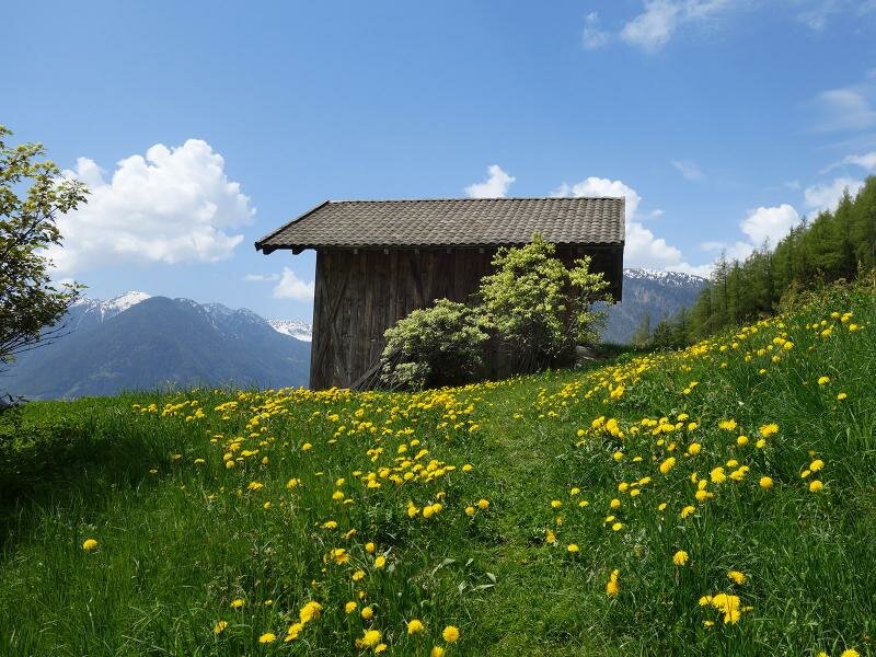
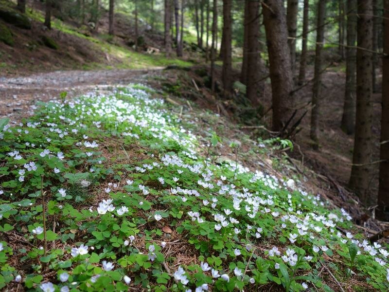
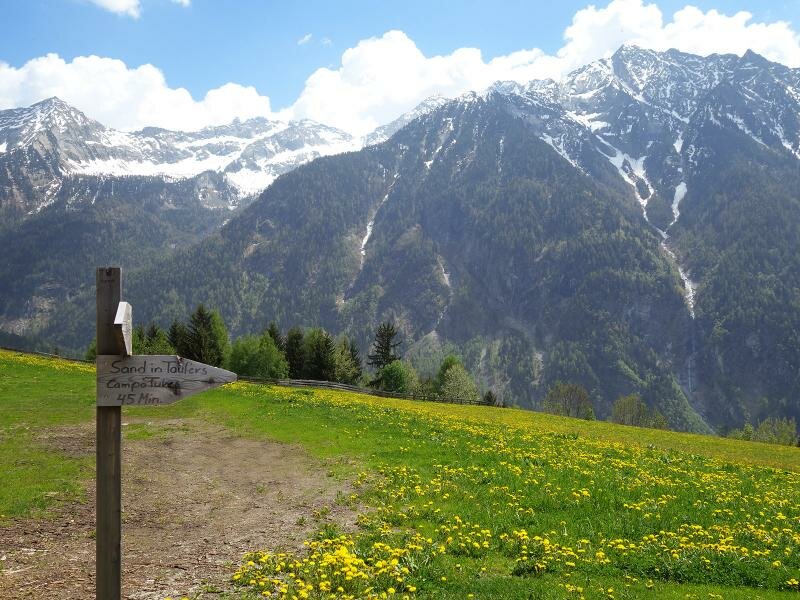
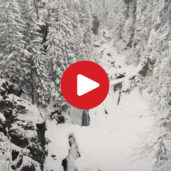
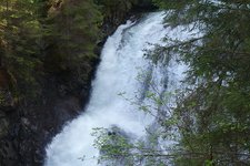
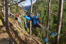
Our starting point is the centre of Campo Tures (864 m a.s.l.). Initially we cross the Rio Aurino stream and walk along its bank. Then we follow the signpost no. 2 until the hamlet of Winkel where we cross the Rio di Riva stream. At the car park near the bar "Wasserfall" starts path no. 1. This itinerary crosses the Rio di Riva gorge and soon we arrive at the first one of the three waterfalls. It is 10 m high. The path slightly ascends and for a short section our path coincides with the percorso di San Francesco. Then the two itineraries separate and at the crossroads we take the path on the left that ascends on a rocky terrain. We also walk past a small cave and a peaceful spot in nature decorated with wooden figures.
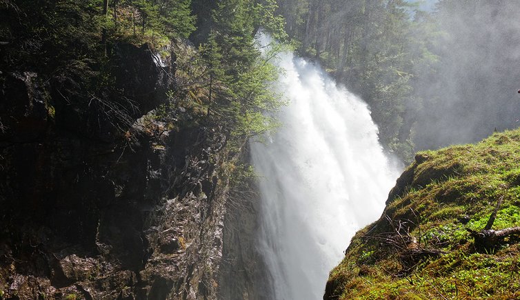
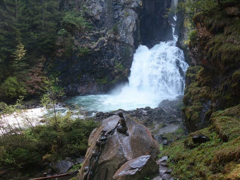
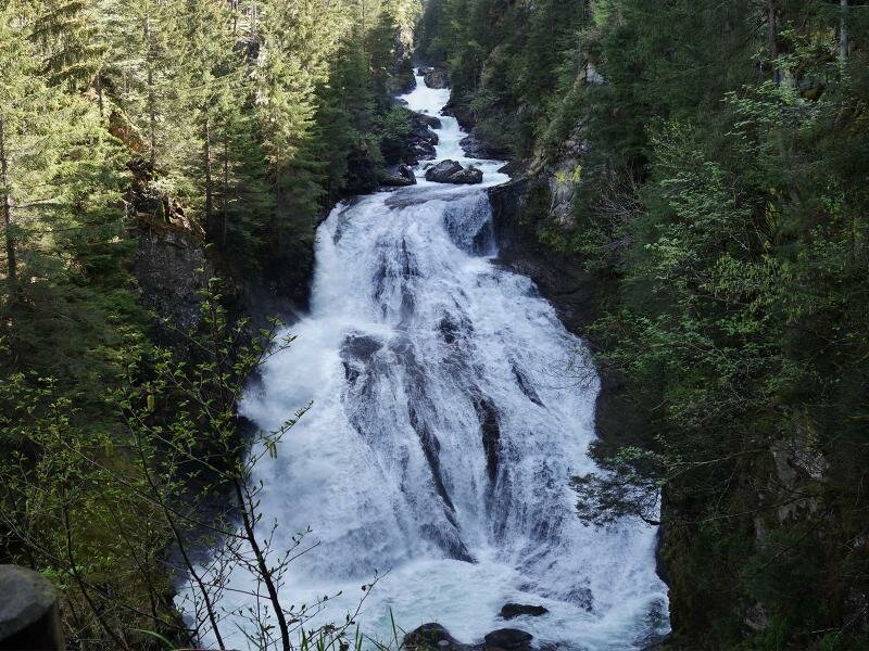
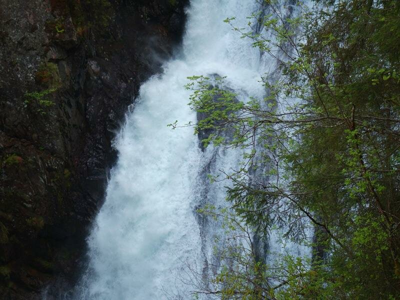
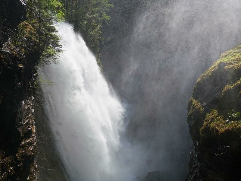
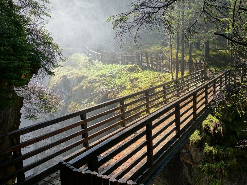
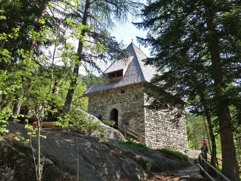
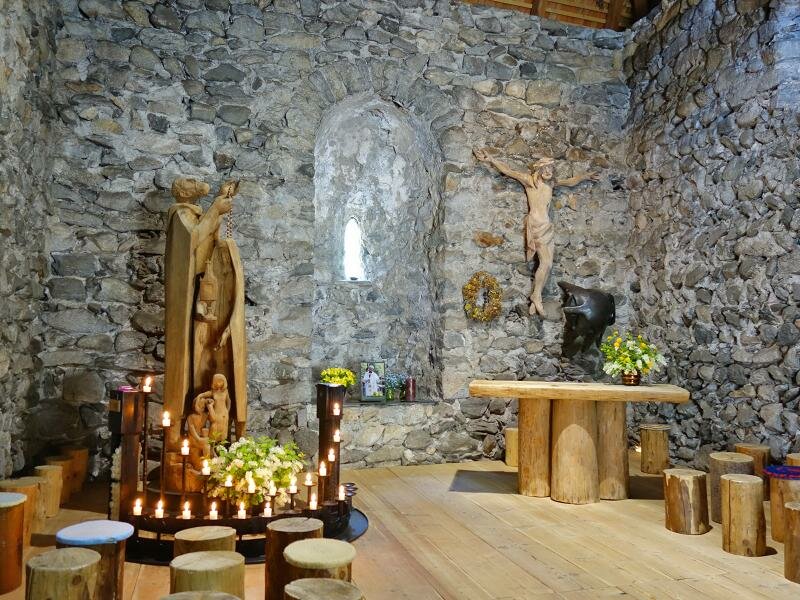
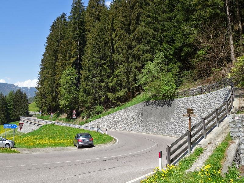
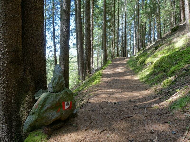
We turn left again and climb the steps. This section requires a good fitness level. Then we proceed above the gorge and arrive at the second waterfall which is 40 m high. The final stretch before the waterfall climbs along a fenced section. Right before this natural spectacle the path crosses the Rio di Riva gorge and ascends until a fork. The path on our left leads to the Toblhof, however, we keep right and continue walking along the percorso di San Francesco. Then, we walk past the San Francesco chapel and descend along the Reintal-Straße for a short section. At the fork we ascend to Acereto (path no. 6B).
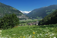
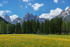
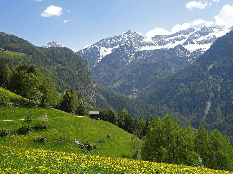
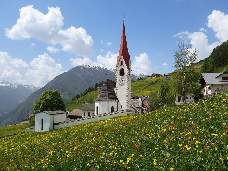
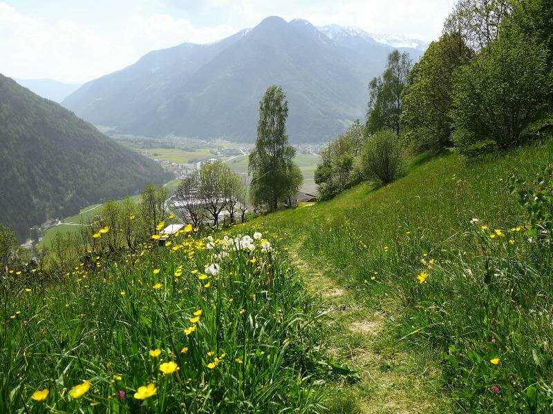
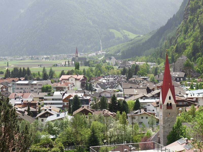
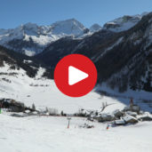
The route runs across the meadows and forests until it reaches the sunny village of Acereto where we stop at the Naturhotel Moosmair to admire the wonderful panoramic view. We eventually return to Campo Tures by following path no. 10 which leads past the Nöckler and Bircher farms before descending to the valley where our circular hike ends. From Acereto you could return to Campo Tures by bus in only 15 minutes.
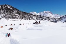
Please note: the waterfalls are fascinating in summer when they carry a lot of melt water. However, this excursion can be undertaken also during the winter months. This experience is particularly beautiful in winter when the waterfalls are frozen.
Date of the hike: 6 May 2018
Last updated in: 2026
Author: AT
-
- Starting point:
- Campo Tures (village centre)
-
- Overall time:
- 03:45 h
-
- Total route length:
- 9,1 km
-
- Altitude:
- from 862 m to 1.341 m
-
- Altitude difference (uphill | downhill):
- +587 m | -587 m
-
- Signposts:
- 1, 2 (Saint Francis' Path), 6B, 10.
-
- Resting points:
- Wasserfallbar, Toblhof, Arcana (Moosmair)
-
- Recommended time of year:
- Jan Feb Mar Apr May Jun Jul Aug Sep Oct Nov Dec
-
- Download GPX track:
- Hike to the Riva Waterfalls
If you want to undertake this hike, we recommend checking the weather and trail conditions in advance and on site before starting this hike!