The alpine pasture hike leads from the Hinteregger farm up to the Gampiel mountain hut in the Fundres Mountains
Image gallery: Hike to the Gampiel mountain pasture
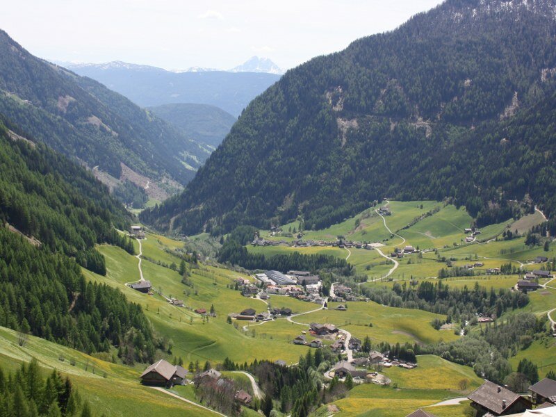
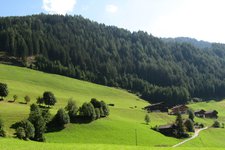
An alpine pasture hike in the rear Fundres valley - that's our programme for today. Therefore we go to the idyllic valley with its rich green alpine meadows, and take the direction towards Dun, a little hamlet. Near the impressive cliffs of Dun we branch off right (markers Gampiel mountain hut, Eggerseite). The road gets close and narrow, we park our car near the Hinteregger farm along the road (parking space located 100 m behind the farmstead).
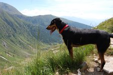
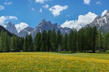
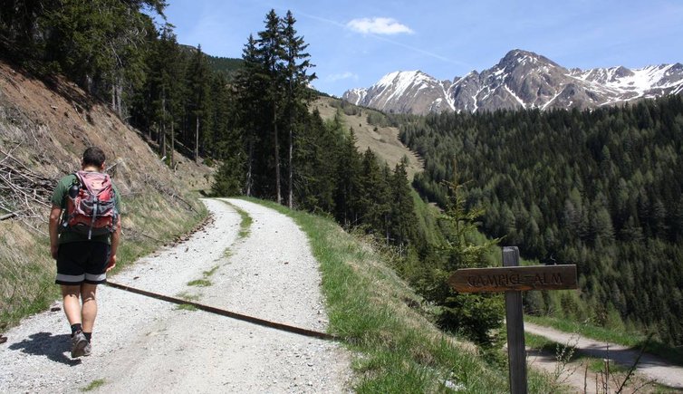
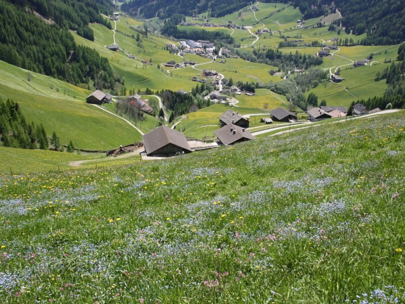
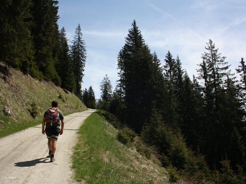
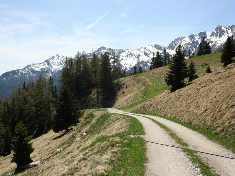
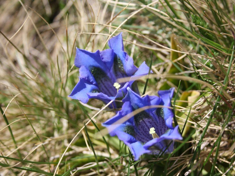
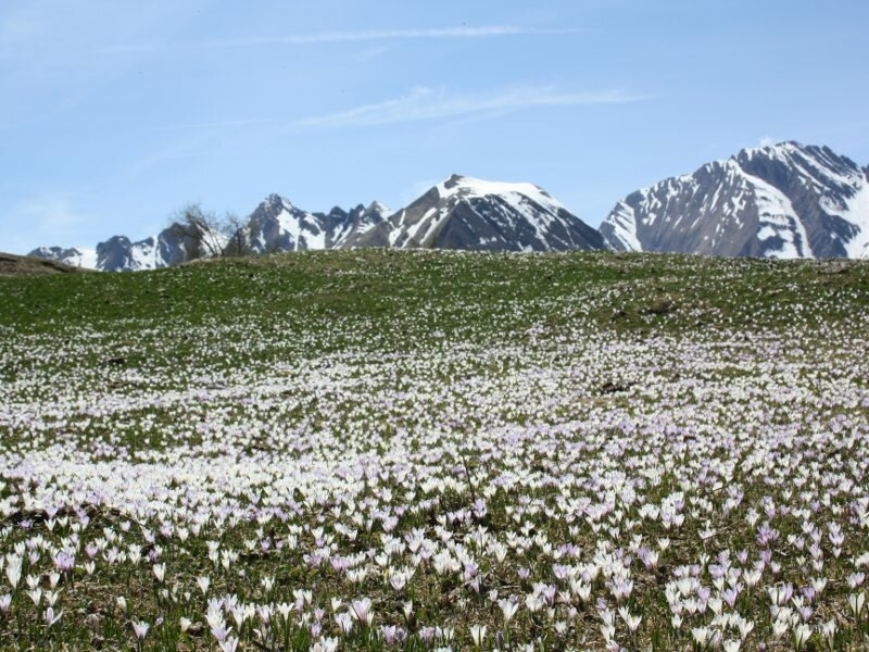
From here we start by foot along the forest path towards the Gampiel mountain hut. The view across the idyllic village of Fundres is already impressive at the starting point. The meadows are covered with plenty of various field flowers, an amazing colourful picture! The way to the Gampiel mountain hut can also be shortened through the forest (marker n° 30). But we choose the comfortable version along the well-kept forest path. Really impressing is the view on the Fundres Mountains, with Mt Cima di Terento, Mt Cima di Campolago and Mt Gitschberg, partly even still covered with snow.
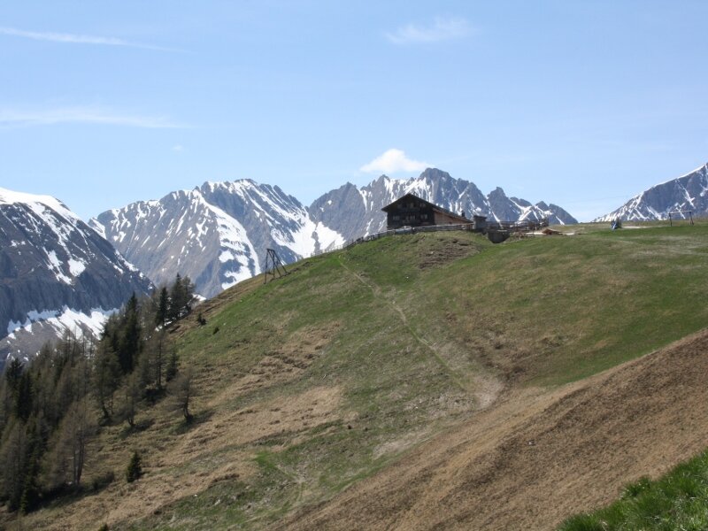
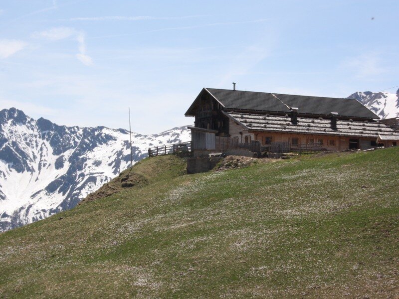
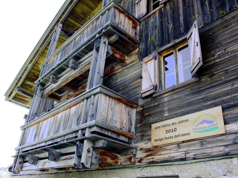
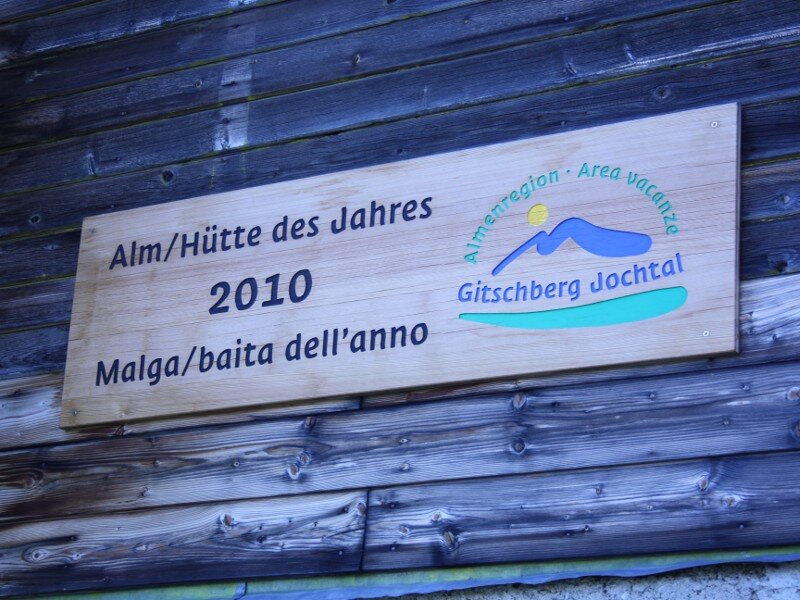
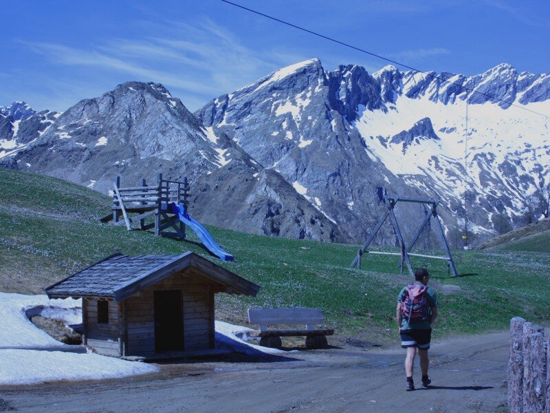
Our destination is located above the timberline, the Gampiel mountain hut at 2,045 m a.s.l., which was elected "Mountain hut of the year" in 2010. Now it is still closed, but in June it opens every Saturday and Sunday, from July 1 until October 8 it is open daily (opening hours for 2023). For kids there is plenty of space to let off steam, a small playground and much to discover wait for them while the adults can recover from the ascent with a cool drink and enjoy the view on the Fundres valley. The descent is done along the same route.
Please note: the Gampiel mountain hut is part of the Alpine Pasture Trail which proceeds further to the Ponte di Ghiaccio mountain pasture and the homonymous hut (2,545 m a.s.l.).
Author: BS
-
- Starting point:
- Hinteregger farm, Val di Fundres
-
- Overall time:
- 02:30 h
-
- Total route length:
- 6,6 km
-
- Altitude:
- from 1.518 m to 2.045 m
-
- Altitude difference:
- +526 m | -526 m
-
- Signposts:
- 30, Gampiel Alm
-
- Destination:
- Gampiel mountain hut
-
- Resting points:
- Gampiel mountain hut
-
- Recommended time of year:
- Jan Feb Mar Apr May Jun Jul Aug Sep Oct Nov Dec
-
- Download GPX track:
- Hike to the Gampiel mountain pasture
If you want to do this hike, we suggest you to check the weather and trail conditions in advance and on site before setting out.