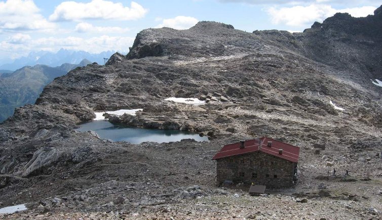
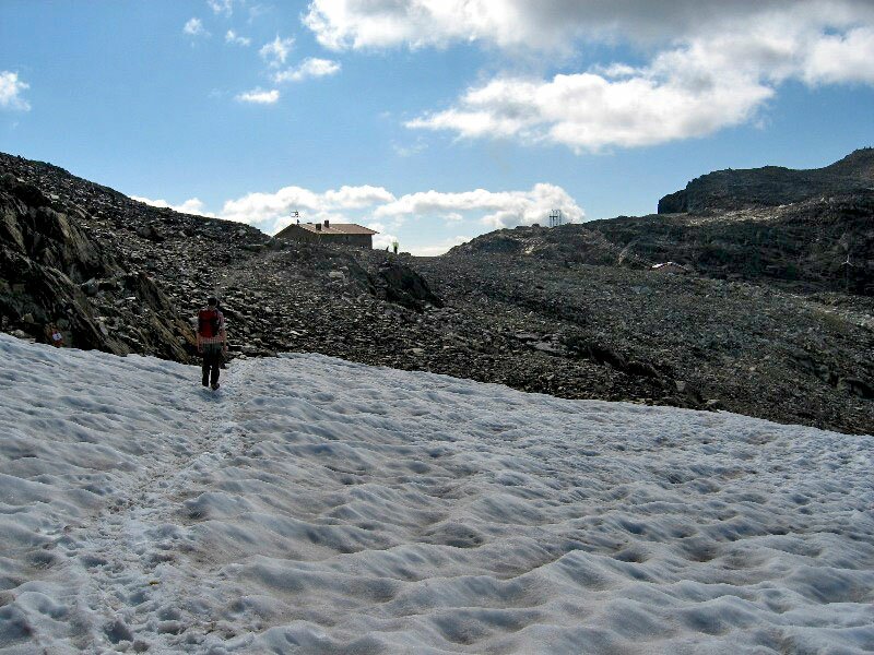
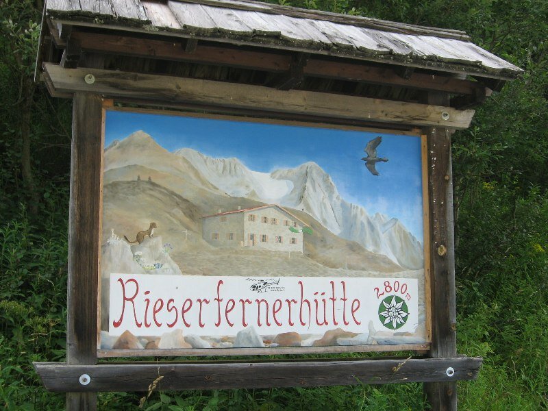
The Vedrette di Ries mountain hut (2,792 m a.s.l.) is eco-labeled and impressively located in the Vedrette di Ries-Aurina Nature Park
Image gallery: Mountain tour to the Pizzo di Vedrette
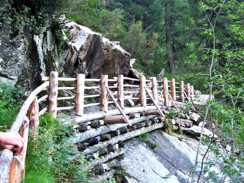
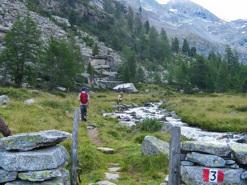
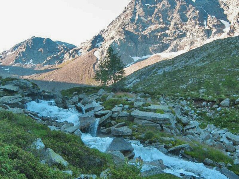
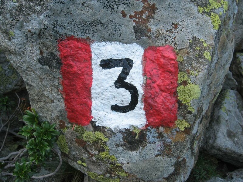
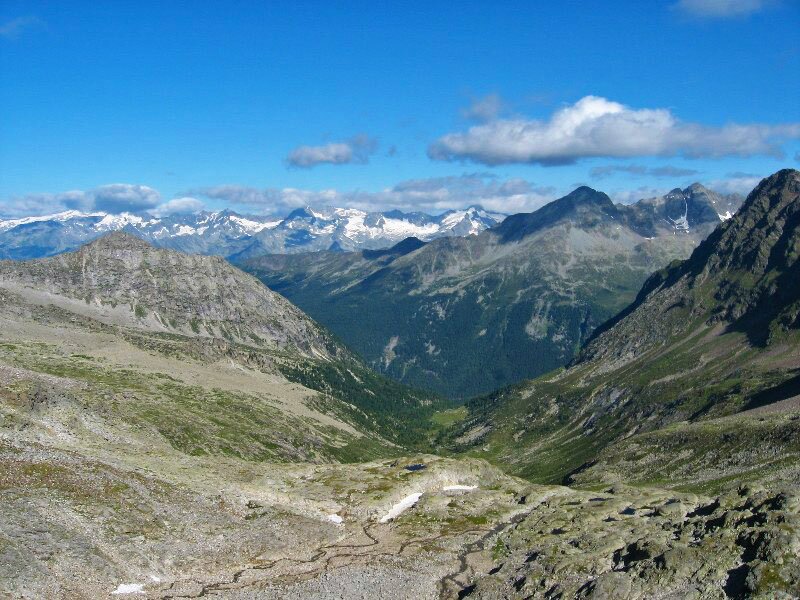
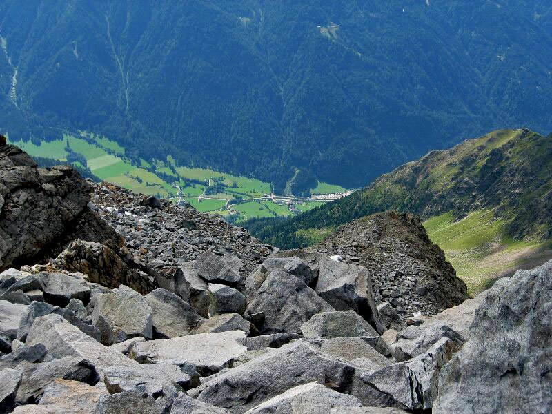

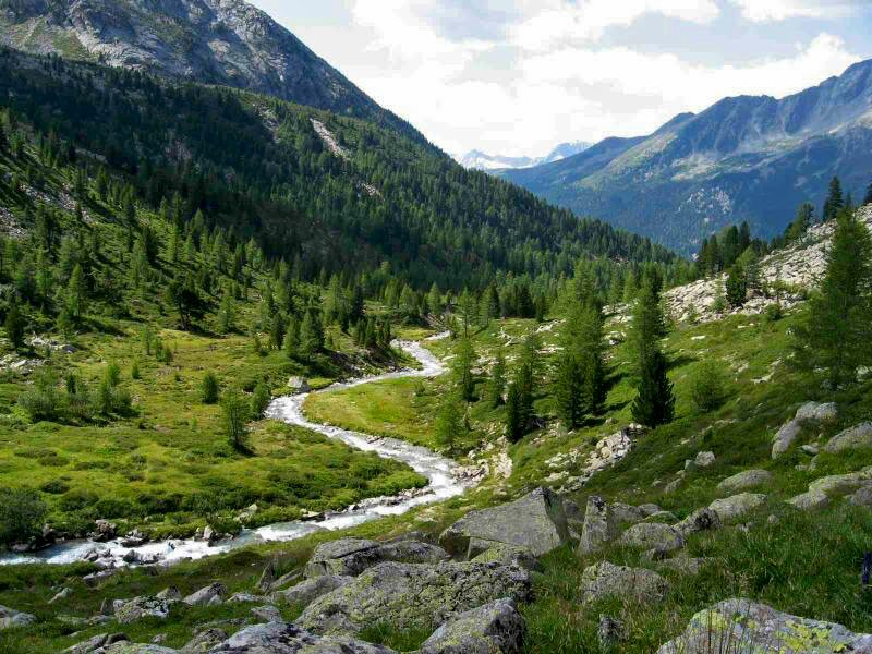

We park our car at the car park Säger along the main road in Riva di Tures. On this warm summer day we initially take path no. 3 that runs uphill along the course of the Reiner brook. In the dense forest we walk past some small waterfalls. After about one hour of hiking we arrive at the malga Äußere Gelttal Alm which is situated on a high plateau. After an easier section we continue hiking to malga Innere Gelttal Alm at 2,067 m a.s.l.
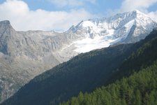
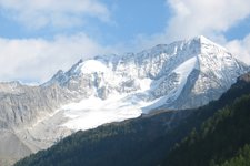
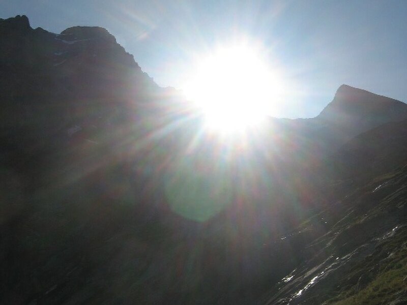
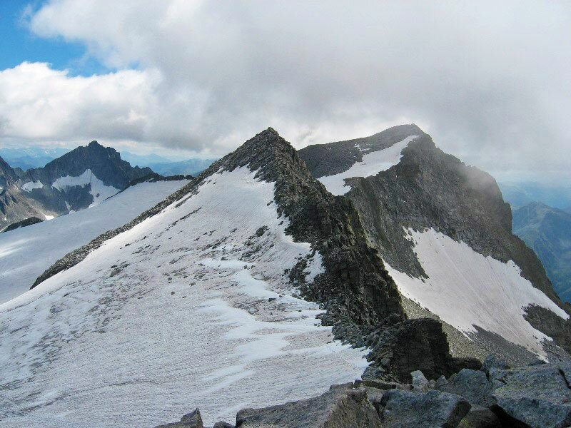
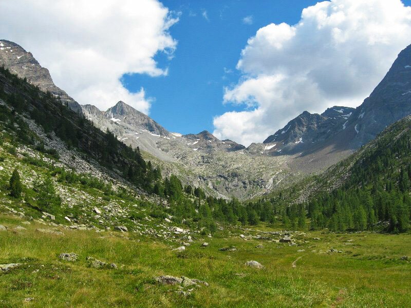
The valley is overlooked by majestic glaciers and crossed by a brook. We enter the valley by following a wonderful path to the Vedrette di Ries hut which we reach after several uphill hairpin bends. The panoramic view of the impressive glaciers is amazing throughout. Most of the peaks are more than 3,000 m high. Having arrived at the pass we recognise the hut in the distance and cross the last small snowfield before the hut.
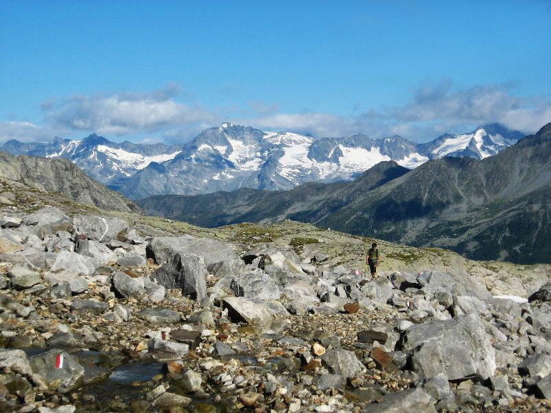
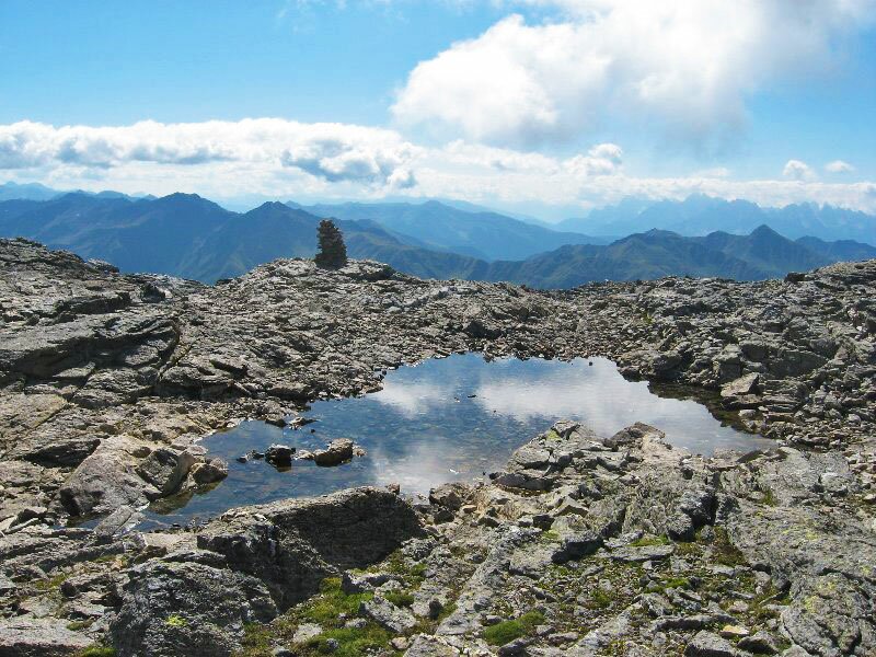
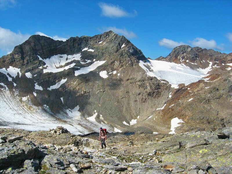
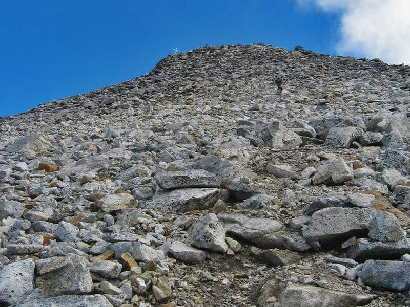
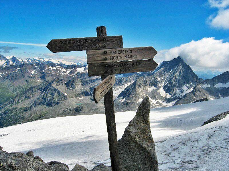
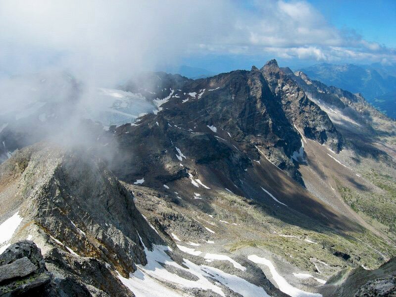
We stop for a short break at the Vedrette di Ries hut before continuing towards the Pizzo di Vedrette. The summit is situated exactly between the more popular nearby Monte Magro (3,270 m a.s.l.) and Monte Nevoso (3,358 m a.s.l.). We approach the peak by crossing two small snowfields, as well as various rocks and steep hairpin bends. The path is well-marked throughout. Right below the pass we have to use our hands to tackle the steps. Shortly after we reach the Fernerköpfl with its stunning summit cross from where we have an amazing view of the surrounding glaciers, including Monte Magro, Monte Nevoso, Collalto and Collaspro. We return along the same path which should definitely not be underestimated due to its length.
Please note: a marvellous mountain path takes you up to the Vedrette di Ries hut, an ideal starting point for alpine tours with possibility of overnight stay. This hike can also be completed in two days. The hut is accessible from Riva di Tures, Anterselva (signpost no. 39, Vila di Sopra (path no. 1) and Rio Molino/Gais (only for fit hikers). An excellent physical fitness and sure-footedness are critical to successfully complete this hike.
Date of the hike: 12 July 2009
Last updated in: 2026
Author: BS
-
- Starting point:
- Riva di Tures, Säger parking space
-
- Overall time:
- 08:15 h
-
- Total route length:
- 19,7 km
-
- Altitude:
- from 1.525 m to 3.249 m
-
- Altitude difference (uphill | downhill):
- +1724 m | -1724 m
-
- Route:
- Riva di Tures - Outer Gelttal hut - Inner Gelttal hut - Vedrette di Ries mountain hut - Mt Pizzo di Vedrette (summit)
-
- Signposts:
- 3
-
- Destination:
- Mt Pizzo di Vedrette
-
- Resting points:
- Vedrette di Ries mountain hut
-
- Recommended time of year:
- Jan Feb Mar Apr May Jun Jul Aug Sep Oct Nov Dec
-
- Download GPX track:
- Mountain tour to the Pizzo di Vedrette
If you want to undertake this hike, we recommend you to check the weather and trail conditions in advance and on site before setting out.