Today’s walk from Gais to Villa Ottone and Campo Tures leads us past the Castello di Casanova
Image gallery: Valley hike in the Valle di Tures
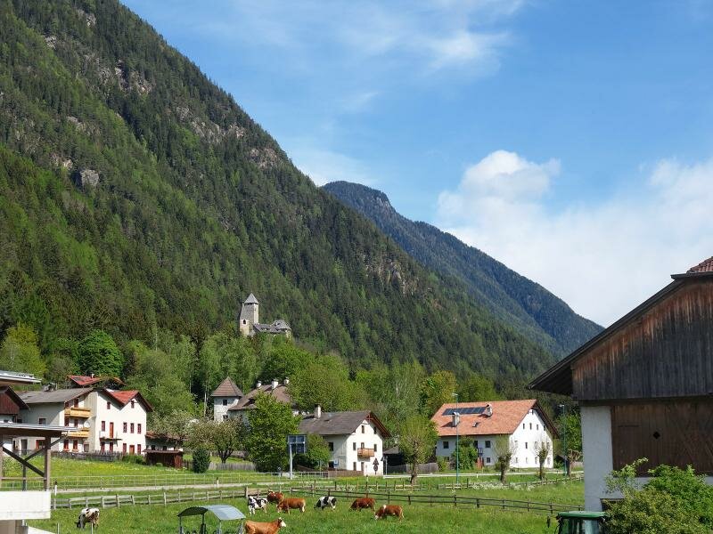
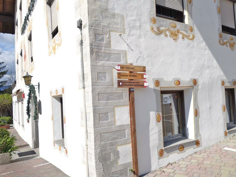
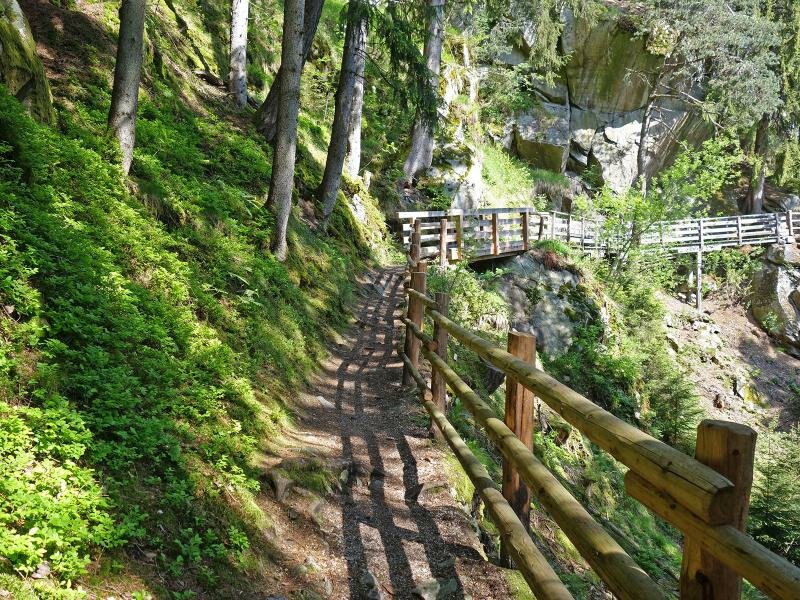
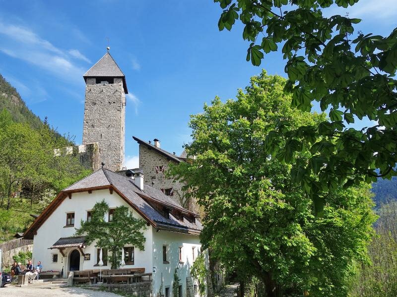
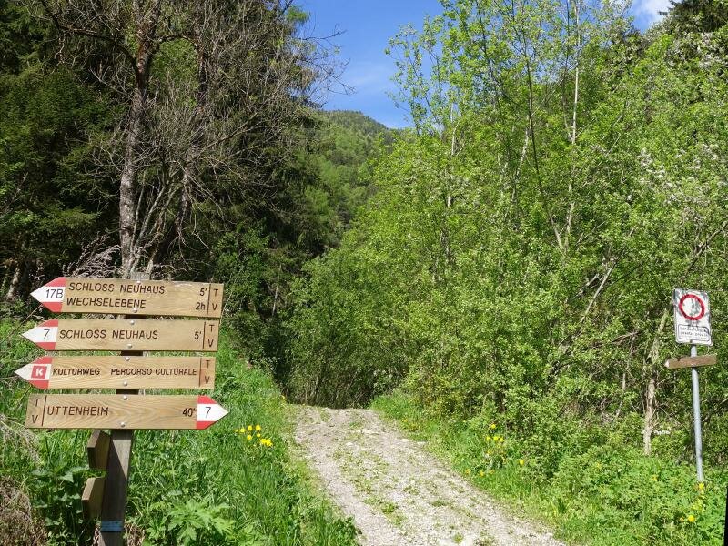
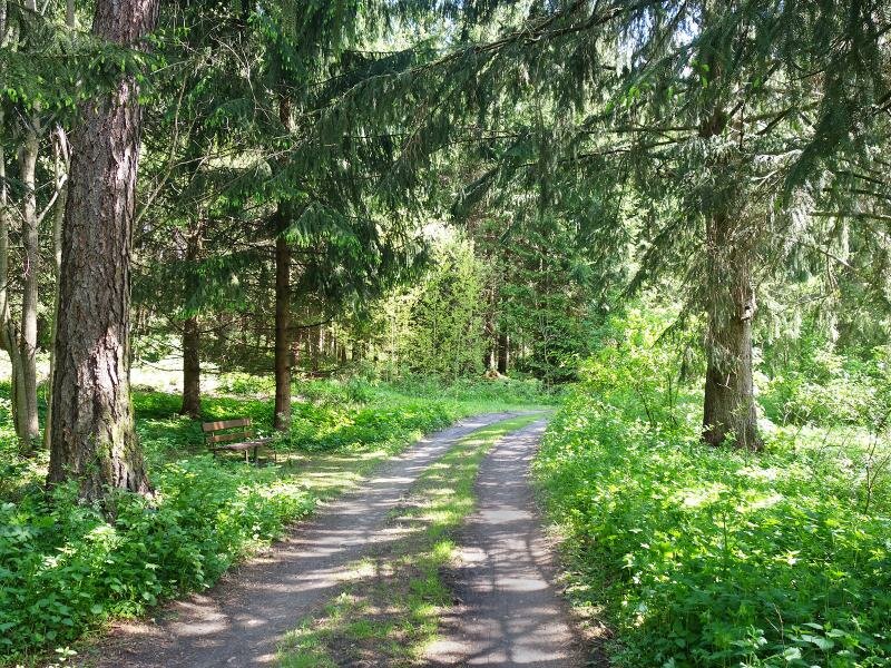
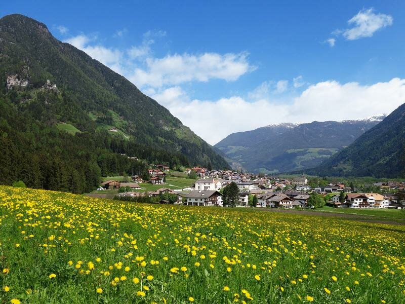
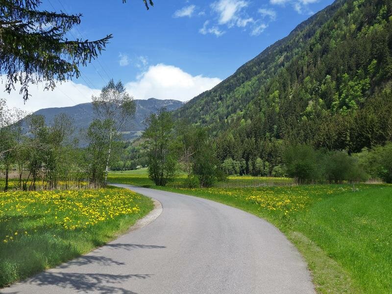
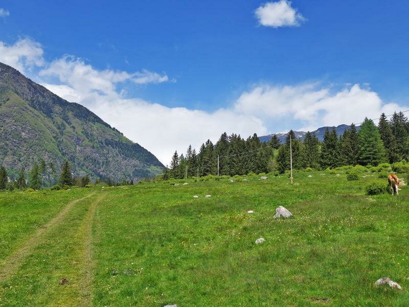
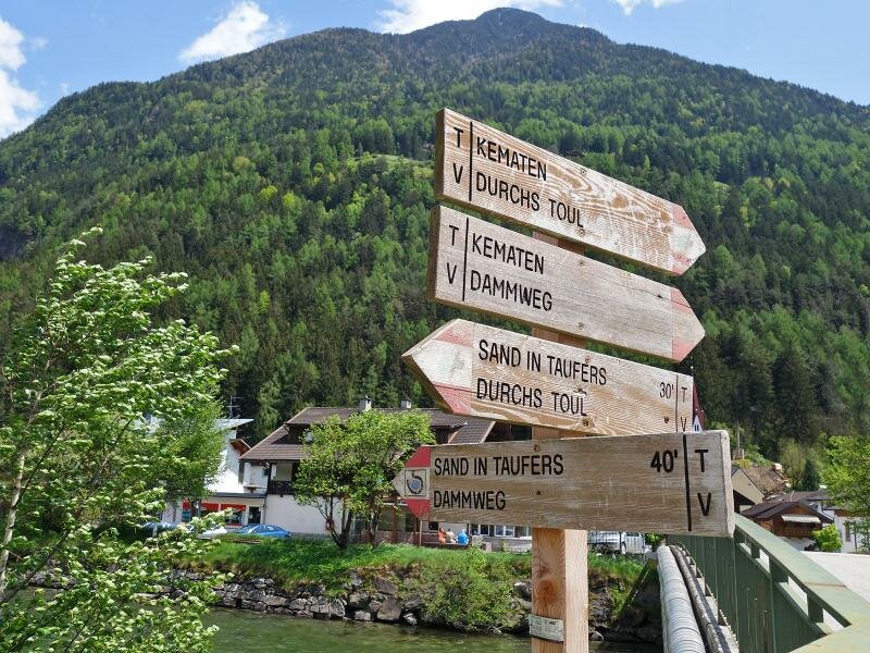
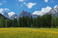
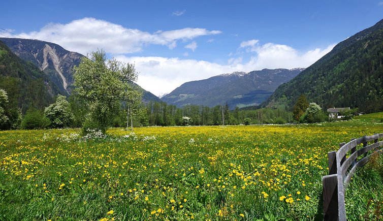
In spring the Valle di Tures turns into a marvellous sea of spring flowers. Our 12-km long hike crosses the verdant valley. We start from Gais and follow the signpost no. 7 "Kulturweg" and "Castello di Casanova" (Schloss Neuhaus in German). The forest path ascends along the slight mountain slope the Castello di Casanova stands on.
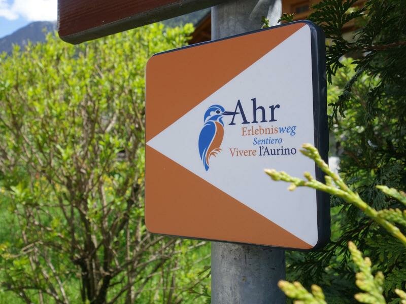
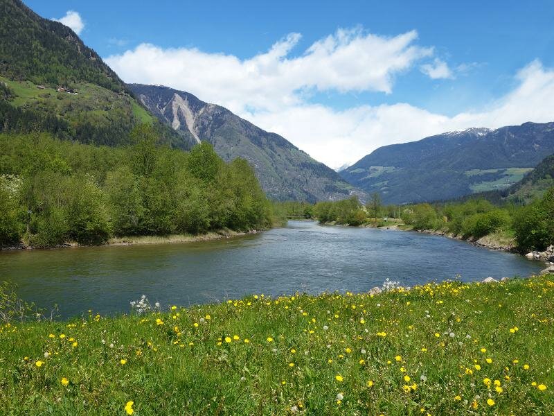
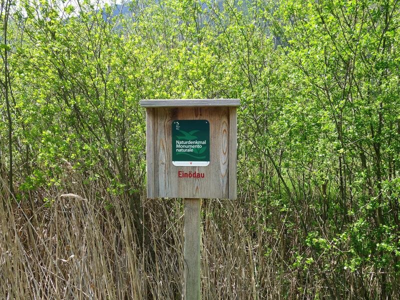
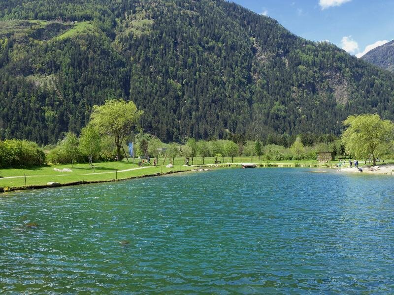
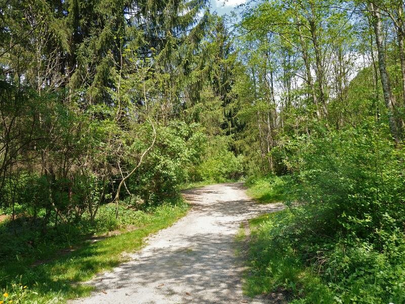
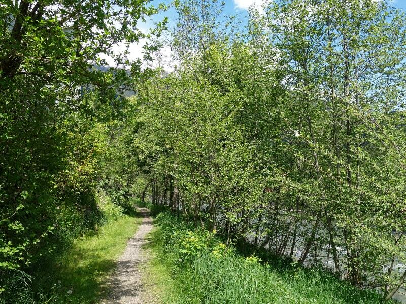
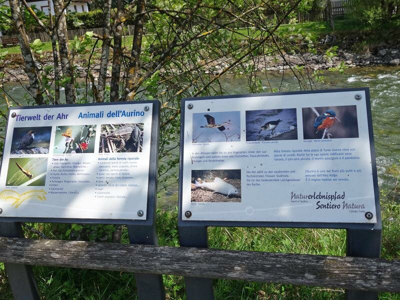
Then, we continue along the forest path towards Villa Ottone. We cross the village and proceed along the eastern banks of the Aurino stream where we follow the signpost "Sentiero Vivere l'Aurino" (Naturlehrpfad Ahr). This asphalt section leading through the valley coincides with the cycle path. At the crossroads "Thara" we head towards the fishing pond where also a refreshment point is situated.
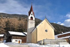
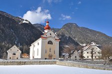
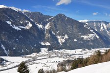
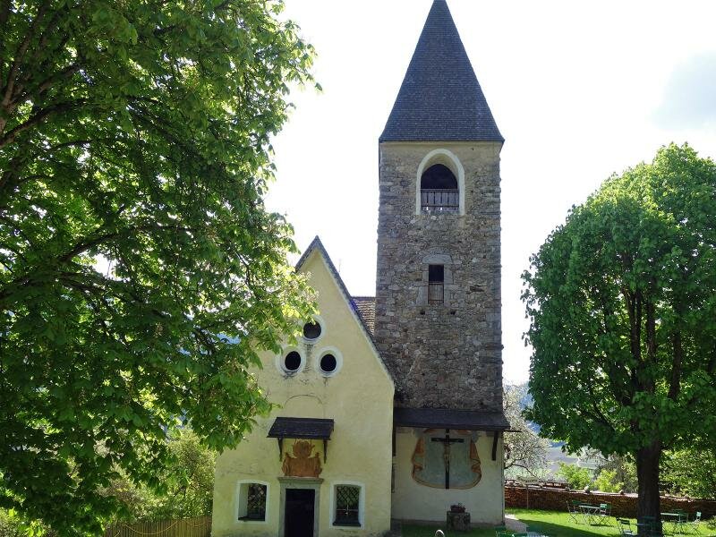
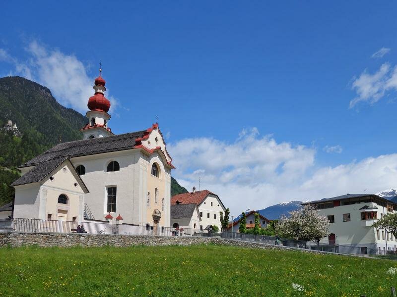
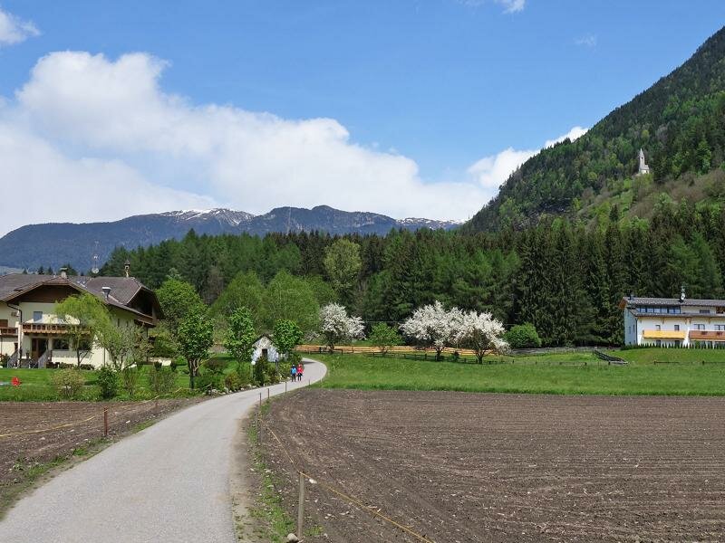
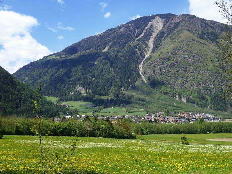
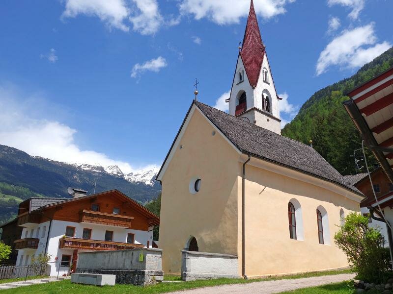
The forest path no. 8B slightly ascends below the St. Valburga church and arrives in Caminata in Tures. Here we enjoy a fantastic view of the valley surrounding Campo Tures, a municipality which includes the hamlets of Molini, Tures, Caminata, Campo and Acereto. In Caminata we cross the bridge above the Aurino stream right after the church. Then, we proceed along the Dammweg path which takes us to Campo Tures. From there we return to Gais by bus.
Date of the hike: 15 May 2016
Last updated in: 2026
Author: AT
-
- Starting point:
- Gais
-
- Overall time:
- 03:00 h
-
- Total route length:
- 12,0 km
-
- Altitude:
- from 830 m to 910 m
-
- Altitude difference (uphill | downhill):
- +180 m | -180 m
-
- Route:
- Gais - Castello di Casanova - Villa Ottone - pesca sportiva Thara - Caminata di Tures - Campo Tures
-
- Signposts:
- 7, "Durchs Toul", 8B, Dammweg
-
- Destination:
- Campo Tures / Sand in Taufers
-
- Recommended time of year:
- Jan Feb Mar Apr May Jun Jul Aug Sep Oct Nov Dec
-
- Download GPX track:
- Valley hike in the Valle di Tures
If you want to undertake this hike, we recommend you to check the weather and trail conditions in advance and on site before setting out.