Today’s hike runs across the wonderful forests on the sunny side of the valle Aurina and leads us to the Waldner Alm hut and lago Waldner
Image gallery: Hike from Predoi to the Lago Selva lake
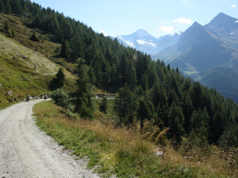
Our hike starts at the car park below the church of Predoi at the end of the valle Aurina. In the village centre we initially follow an asphalt path towards the malga Waldner hut. Above the village of Predoi the asphalt road merges into a forest path. In high summer a bit of shade doesn't hurt. Soon a narrow path (signpost "Waldner Alm") branches off to the left.
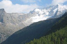
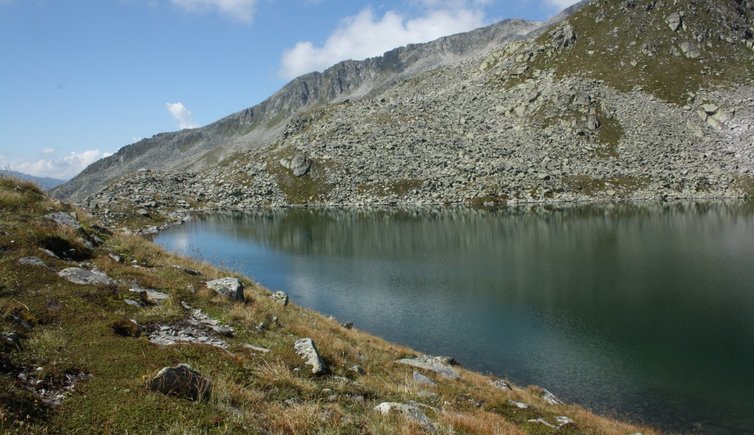
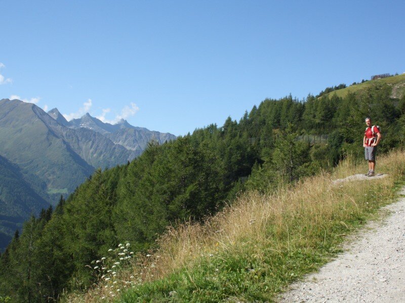
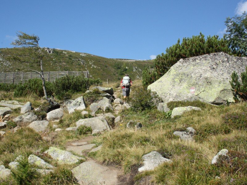
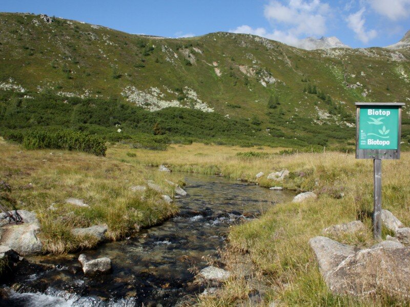
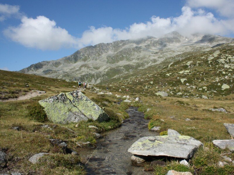
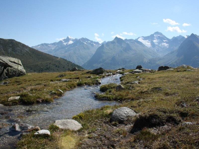
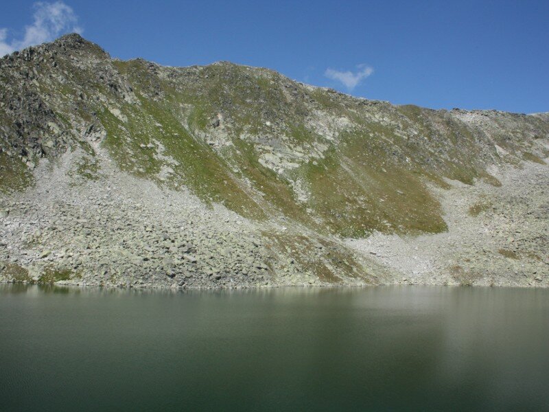
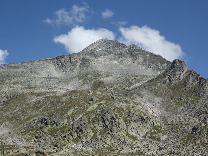
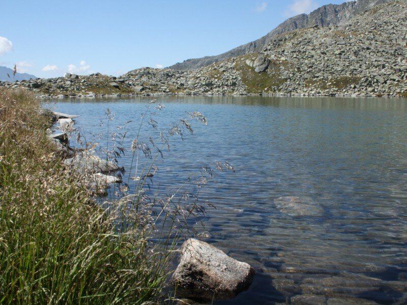
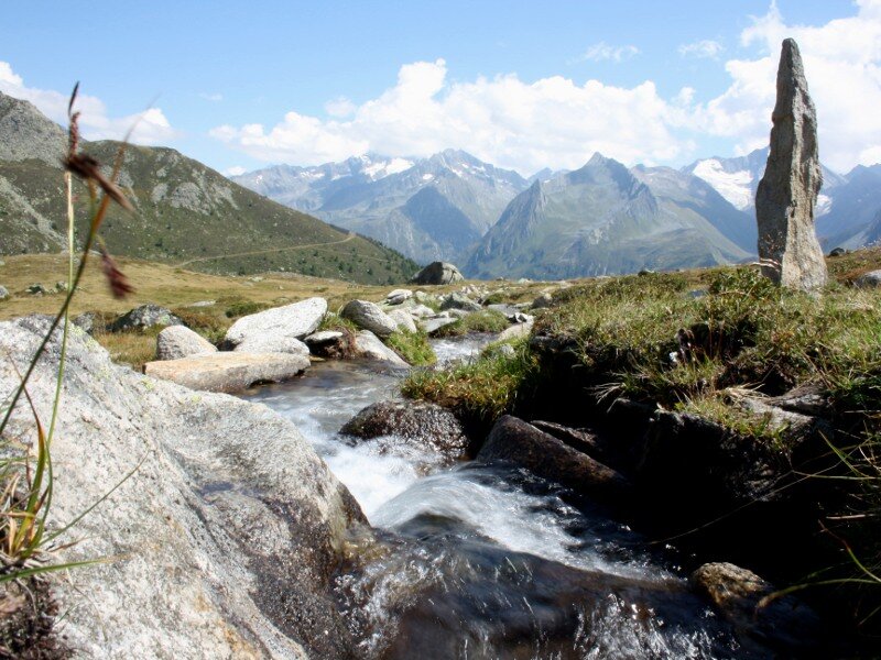
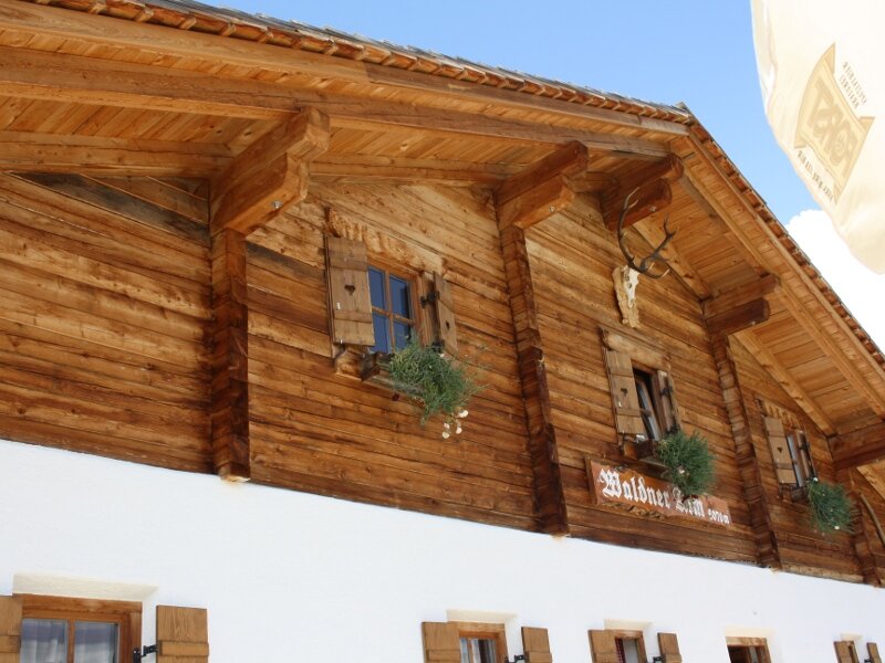
The path ascends along a steep slope in the wonderful coniferous forest "Ameiser Nadelwald". We cover a significant but exhausting ascent within a short time, tackling rocks, roots and pine cones. Then the forest thins out and we proceed along a forest path from where we can already recognise the Waldner Alm hut (2,070 m a.s.l.). From the malga we admire a stunning panoramic view of the more than 3,000 m high peaks surrounding the valle Aurina, including the Pizzo Rosso (3,496 m a.s.l.) and the Picco dei Tre Signori (3,499 m a.s.l.). At the hut we continue walking along a well-maintained hiking path which runs across a humid biotope crossed by a brook. Now we only need to cover the last metres of elevation gain before the basin of lago Waldner (Waldnersee) comes into sight. We stop for a break at the lake at 2,338 m a.s.l. which is characterised by grassy and rocky shores.
In the water of this lake you can take a Kneipp bath. However, due to the very low water temperature, we only recommend this experience to people who are not sensitive to the cold. The Pizzo Rosso and the Picco dei Tre Signori overlook the unspoilt mountain lake where fish live. The Waldnersee lake, the biggest lake of the valle Aurina, extends over a surface of 5 hectares. We retrace our steps until the Waldner Alm hut. After a break on the sunny terrace of the hut we return to the valley along a longer and more comfortable path than the one we took before.
Date of the hike: 18 August 2011
Last updated in: 2026
Author: BS
-
- Starting point:
- Predoi
-
- Overall time:
- 04:05 h
-
- Total route length:
- 11,9 km
-
- Altitude:
- from 1.475 m to 2.338 m
-
- Altitude difference (uphill | downhill):
- +863 m | -863 m
-
- Route:
- Predoi - Waldner Mountain Hut - Wiesermoos biotope - Lago Selva lake
-
- Signposts:
- 16B, 15A
-
- Destination:
- Lago Selva lake
-
- Resting points:
- Waldner Mountain Hut
-
- Recommended time of year:
- Jan Feb Mar Apr May Jun Jul Aug Sep Oct Nov Dec
-
- Download GPX track:
- Hike from Predoi to the Lago Selva lake
If you want to undertake this hike, we recommend you to check the weather and trail conditions in advance and on site before setting out.