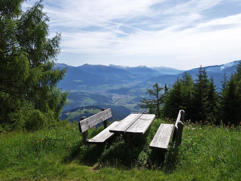
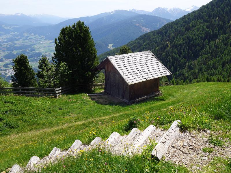
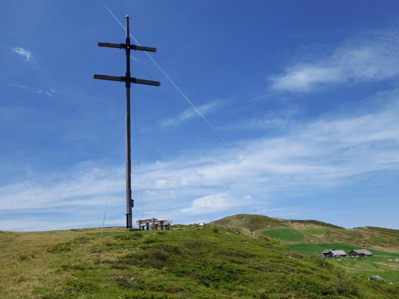
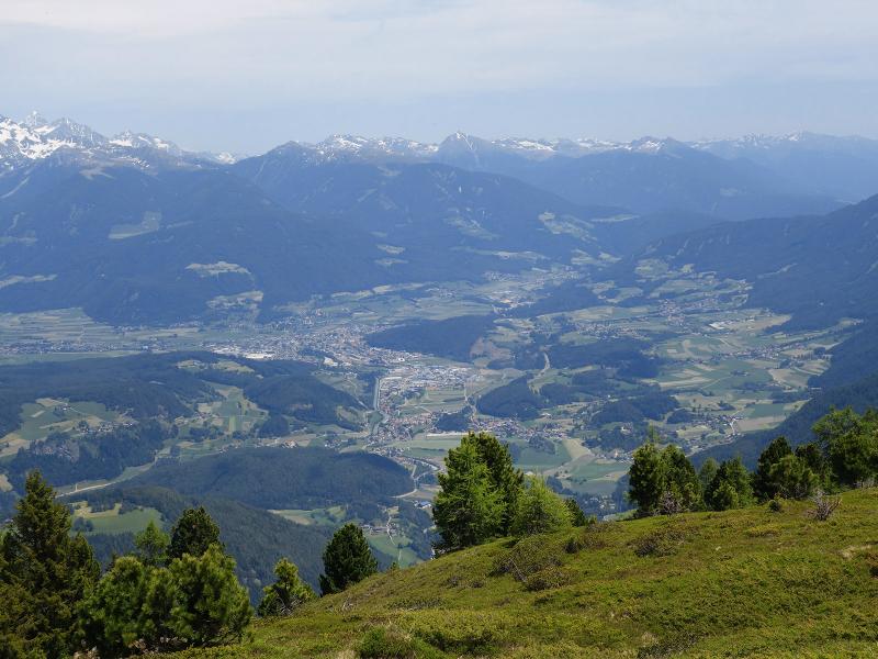
From the hamlet of Elle, a hiking path leads up to the Walder Alm mountain hut and further on to the timberline beneath the Giogo d’Asta. Here, the Ellener Kreuz is located, a beautiful viewpoint on the Val Pusteria valley and its surroundings
Image gallery: Hike via the Walder Alm to the Ellener Kreuz
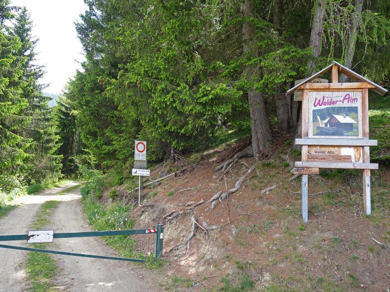
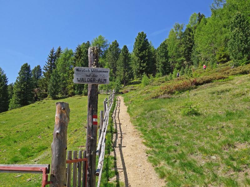
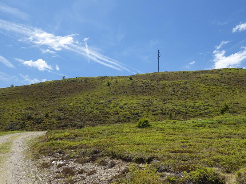
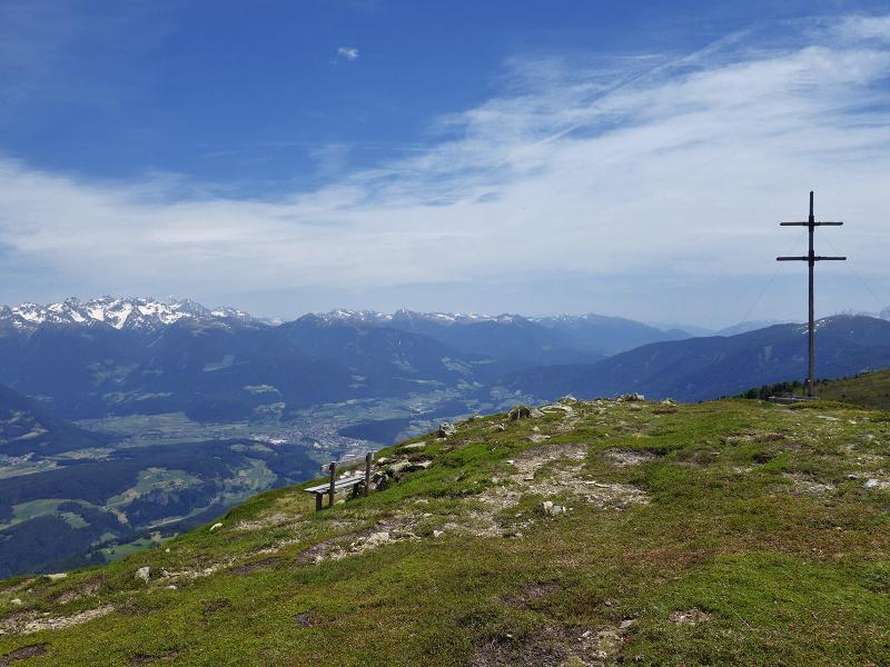
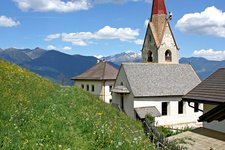
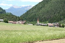
The Giogo d’Asta (Astjoch) is one of the peaks on the Rodengo-Luson Highlands. The most well-known paths lead up from Rodengo and Luson, but also from the Val Badia valley, above Mantana (Montal), at the mountain village of Elle (Ellen), a forest road starts up to the alpine meadows. And it is exactly this side of the mountain ridge that we want to discover.
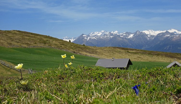
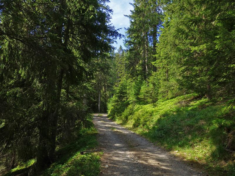
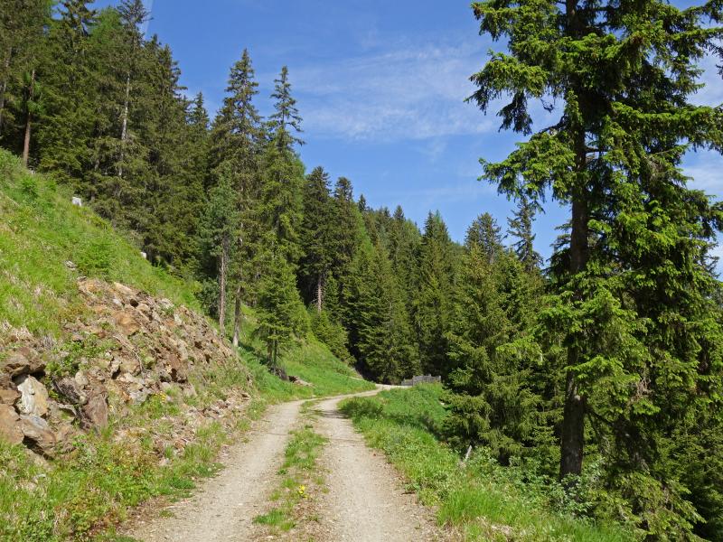
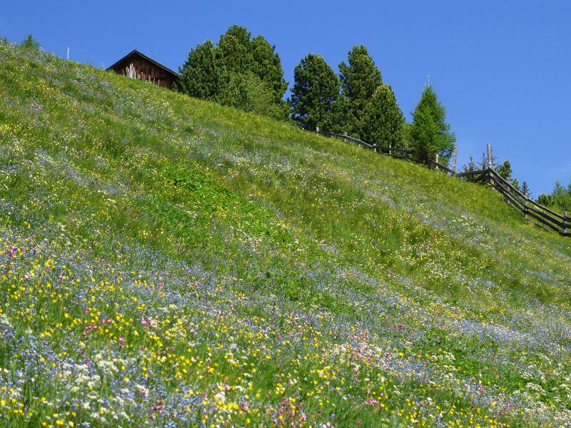
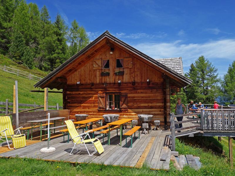
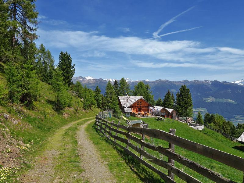
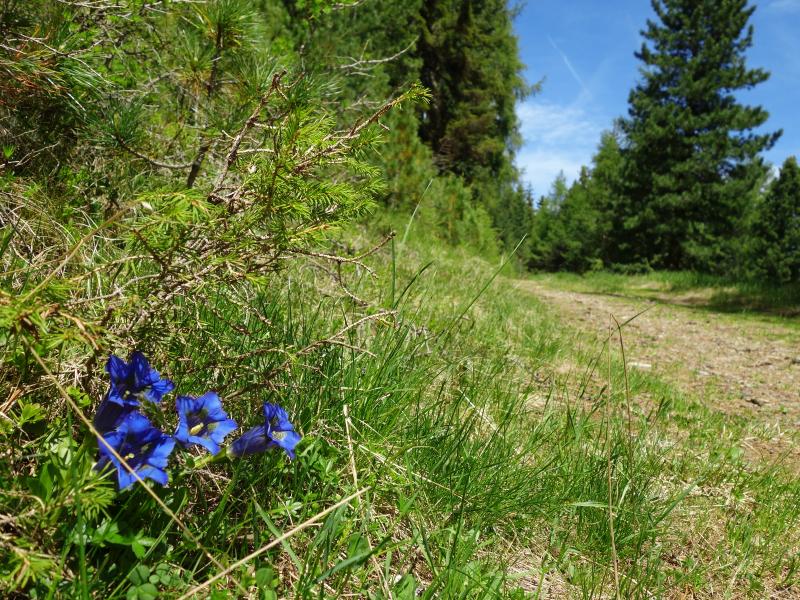
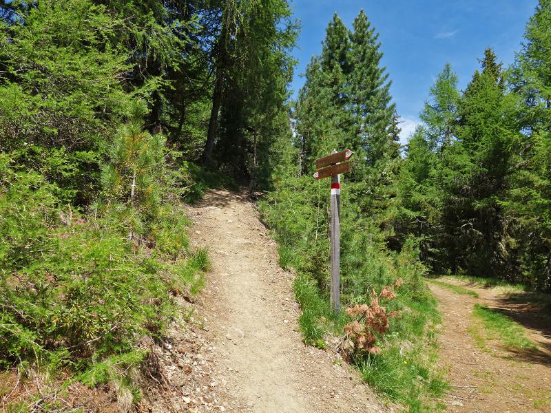
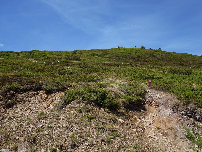
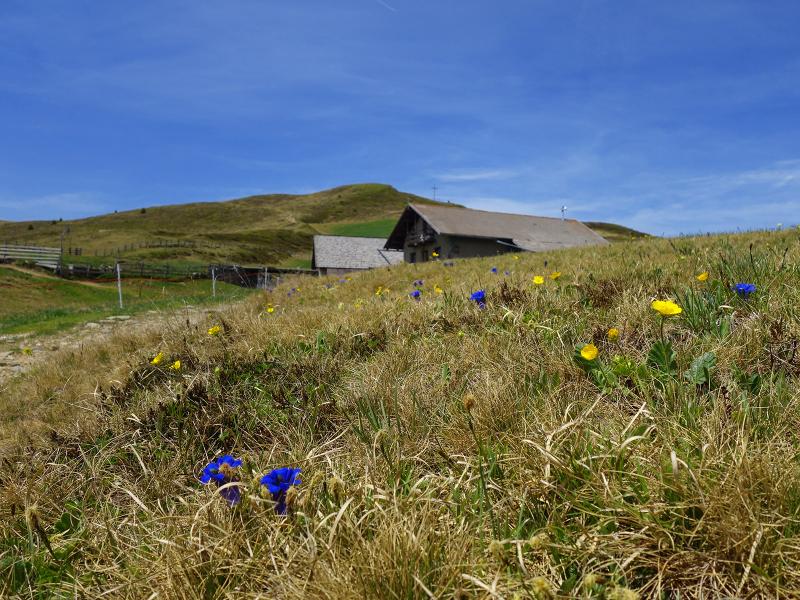
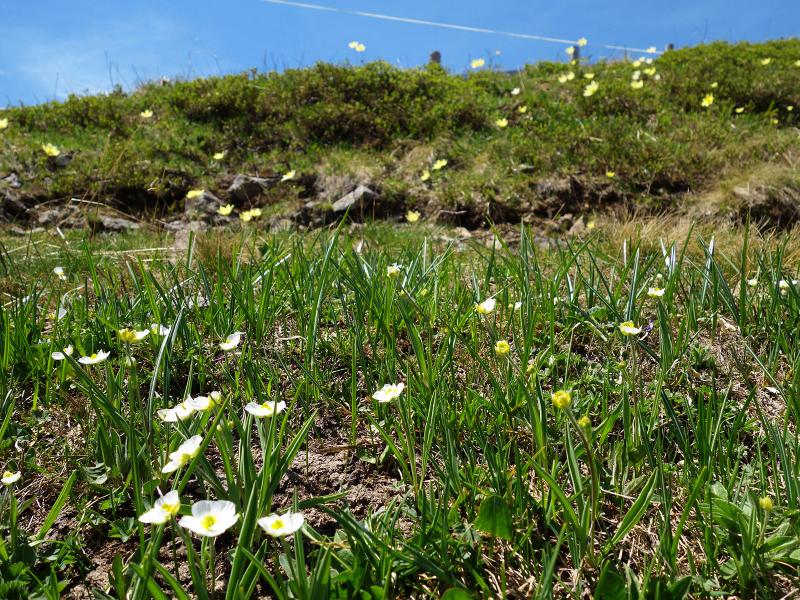
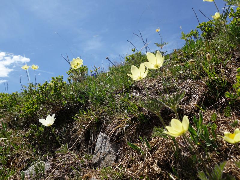
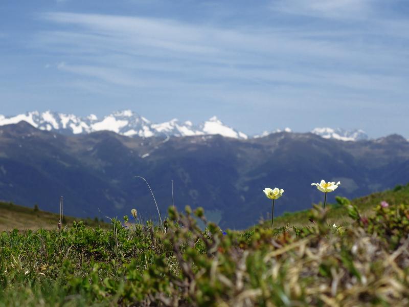
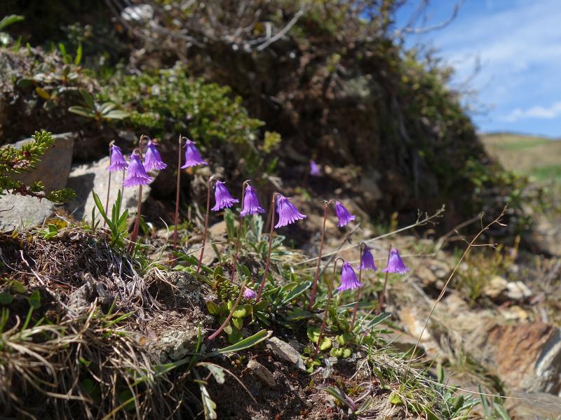
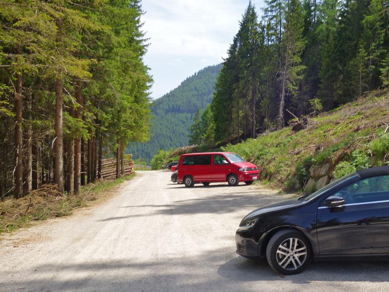
Starting point is the parking space at the Kreuznerhof farm above Elle, reachable via a mountain road from Mantana. We follow the marker to the Walder Alm mountain hut. The forest road leads through the wood up to the mountain hut at 1,900 m a.s.l. The hut, which is surrounded by flowering meadows now in early summer, is about to open in mid-June. Following the marker no. 67, the trail then continues upwards through the forest to the timberline, where heath and alpine pastures characterise the landscape. In addition to the awakening flora, we are thrilled by the view on the surrounding mountain world and the valley.
For the way back, we recommend the same route. Alternatively, you can stay on the Burgstallalm forest path instead of taking the path 67 back to the Walder Alm and returning to the starting point at the Kreuznerhof farm. This forest path is easier, but about 1.5 km longer.
Author: AT
-
- Starting point:
- parking space "Kreuznerhof" above Elle
-
- Overall time:
- 03:20 h
-
- Total route length:
- 9,2 km
-
- Altitude:
- from 1.557 m to 2.116 m
-
- Altitude difference:
- +573 m | -573 m
-
- Signposts:
- forest path "Walder Alm" resp. path no. 67
-
- Destination:
- Ellener Kreuz
-
- Resting points:
- Walder Alm
-
- Recommended time of year:
- Jan Feb Mar Apr May Jun Jul Aug Sep Oct Nov Dec
-
- Download GPX track:
- Hike via the Walder Alm to the Ellener Kreuz
If you want to do this hike, we suggest you to check the weather and trail conditions in advance and on site before setting out.