The Archaeological Panoramic Trail of San Lorenzo takes you back to Roman times. Discover everything about the many different archaeological sites in the ancient Roman station Mansio Sebatum
Image gallery: Archaeological Panoramic Trail of San Lorenzo
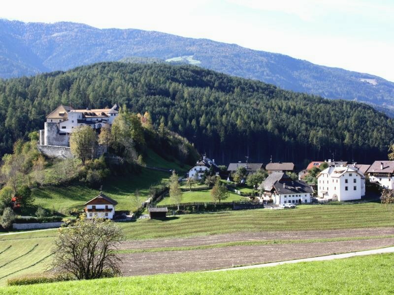
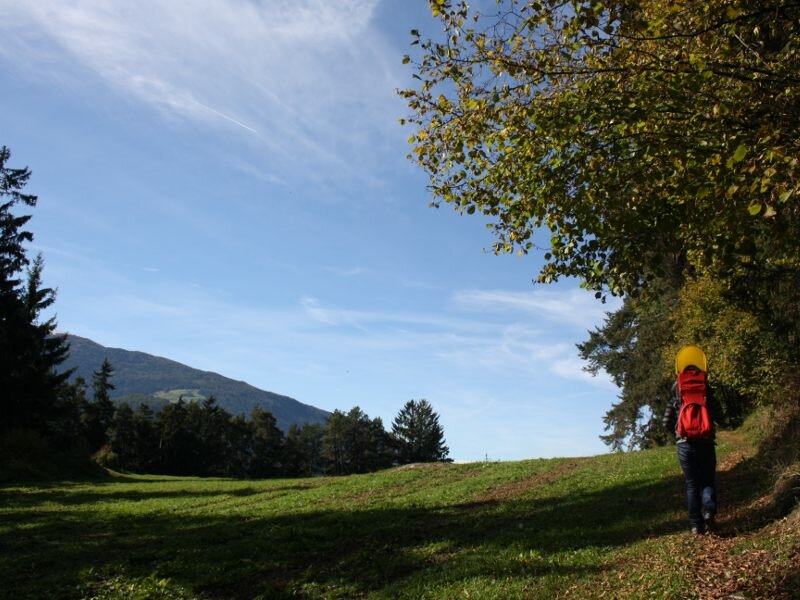
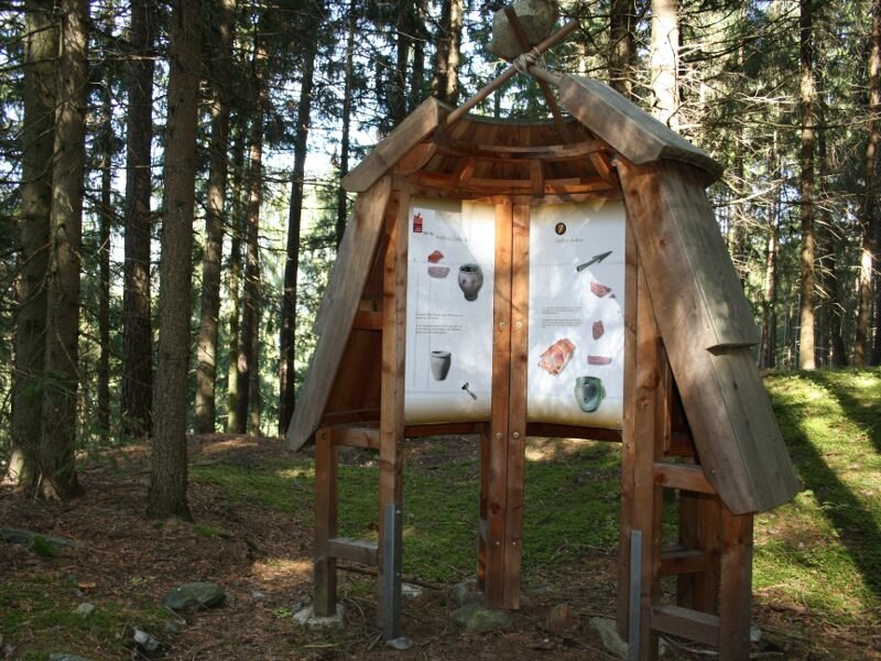
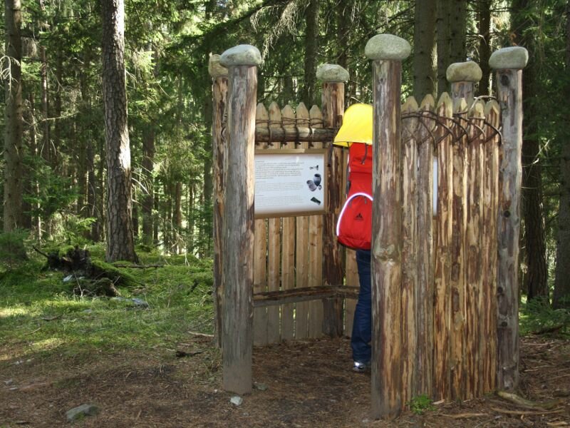
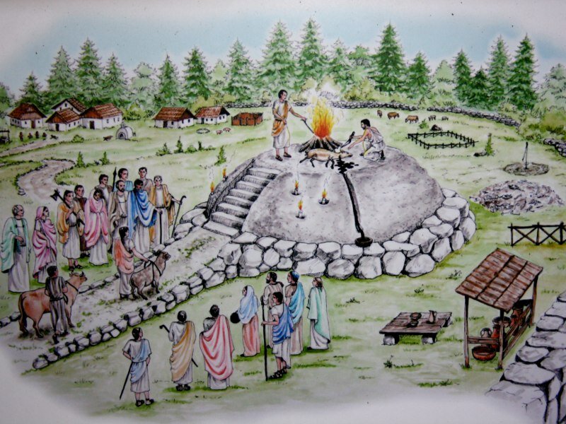
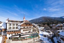
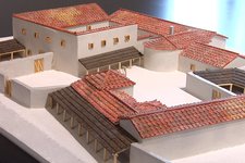
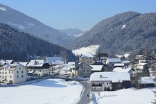
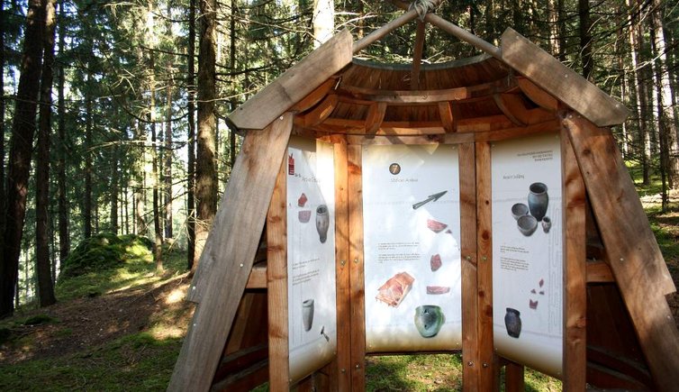
Today's excursion starts in Castelbadia near San Lorenzo. We park our car in the village centre at the eponymous castle. Alternatively you can find parking possibilities near the Peintner Brücke bridge along the main road. San Lorenzo di Sebato, also known as "Mansio Sebatum" used to be an important Roman station. Numerous archaeological findings dating back to Roman times were brought to light on the Sonnenburger Kopf. The Archaeological Educational Trail of San Lorenzo was set up with particular attention to the smallest details and equipped with numerous information boards which reveal interesting facts about the Romans and the most significant archaeological excavation sites of this area.
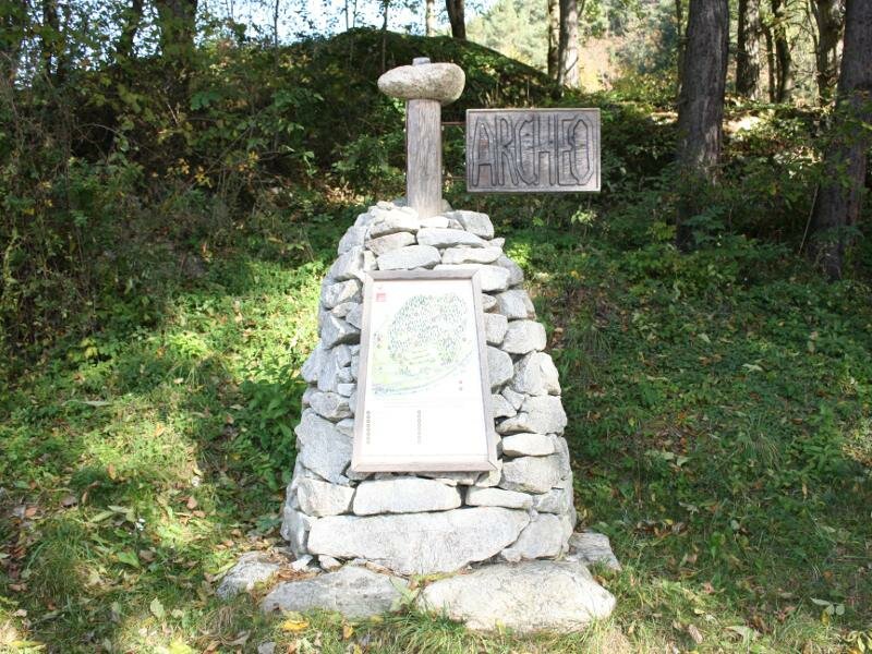
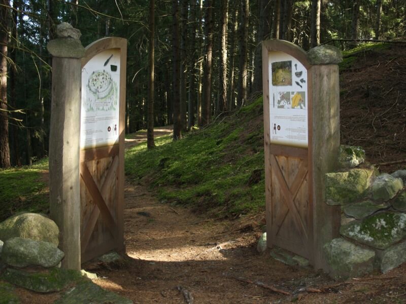
At the Castel Badia fortress we take the asphalt road to Campolino and Fassina. After a left bend we are already in front of the first information board which shows us the map of this itinerary. To avoid some steep slopes, we decide to walk the path counter-clockwise, from east to west.
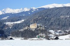
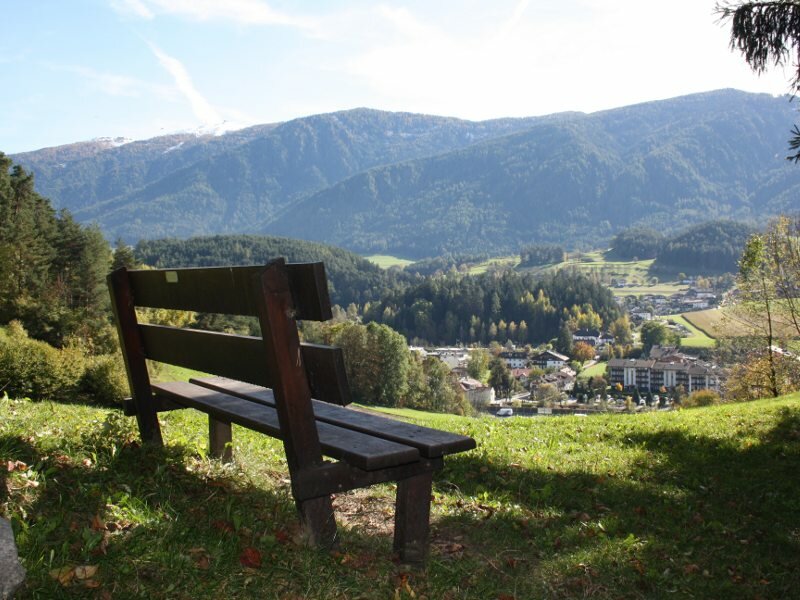
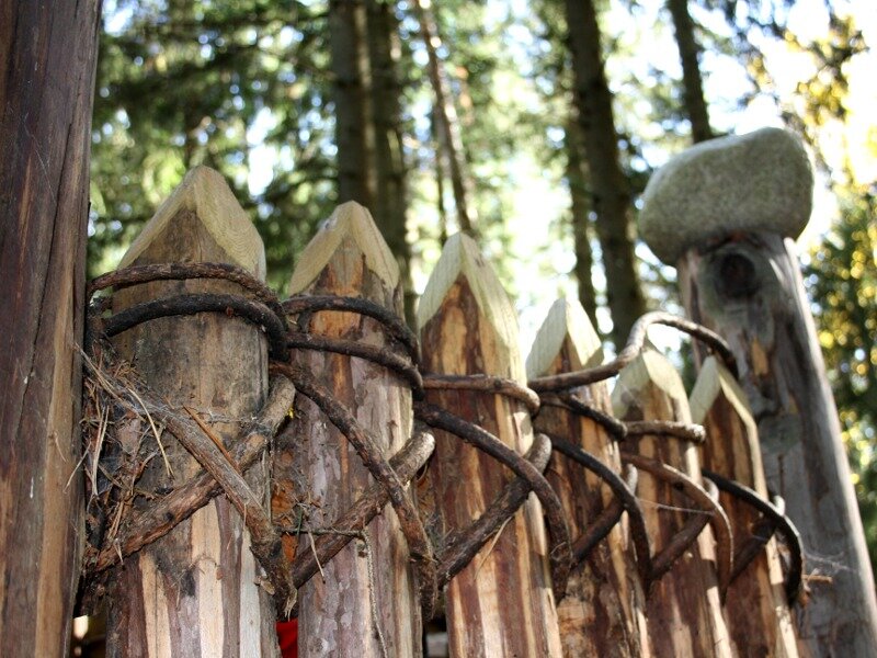
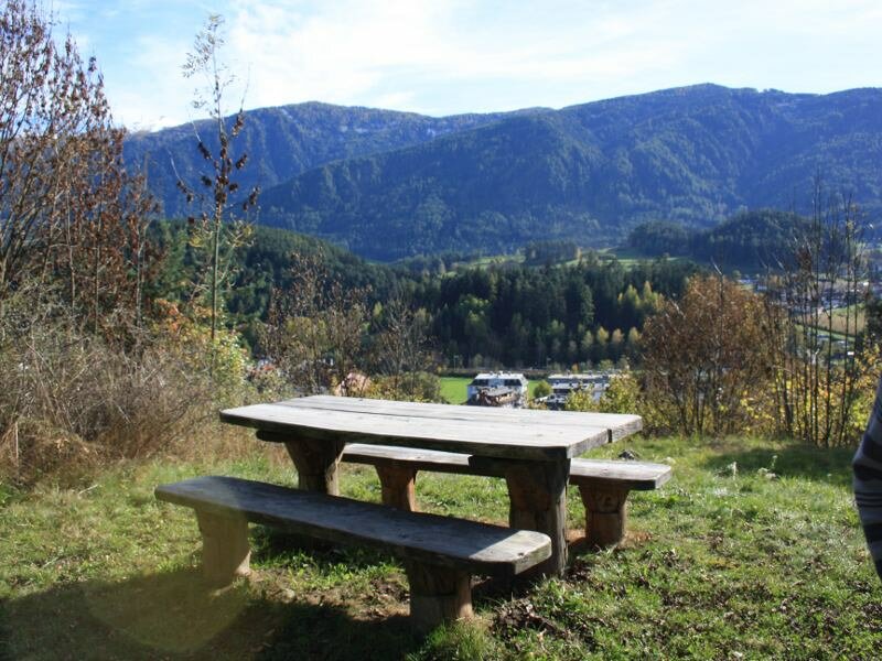
Along the marked path we can admire some cup-marked stones from Castelbadia, as well as the fortresses of San Lorenzo on the Schreckbühel and the ruins of Sebatum. All the unique features of this area are explained and described on the 16 information boards along the path. The itinerary runs across the forest and along several rest areas with panoramic views and playgrounds for children.
Undertaken in: October 2013
Last updated in: 2026
Author: BS
-
- Starting point:
- Badia near San Lorenzo di Sebato
-
- Overall time:
- 01:30 h
-
- Total route length:
- 4,3 km
-
- Altitude:
- from 825 m to 973 m
-
- Altitude difference (uphill | downhill):
- +148 m | -148 m
-
- Signposts:
- Archaeological Educational Trail (Archäologischer Wanderweg)
-
- Recommended time of year:
- Jan Feb Mar Apr May Jun Jul Aug Sep Oct Nov Dec
-
- Download GPX track:
- Archaeological Panoramic Trail of San Lorenzo
If you want to undertake this hike, we recommend you to check the weather and trail conditions in advance and on site before setting out.