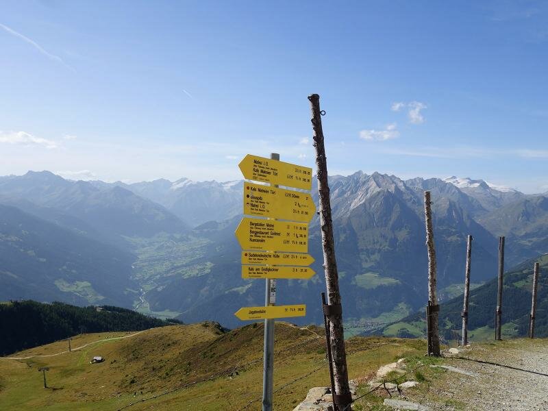
This easy circular hike above 2,000 m a.s.l. takes us from the mountain station Goldried to the meadows at the foot of Mt Rotenkogel and Gorner, to the panoramic viewpoint Adlerlounge and to the Kals-Matreier-Törl pass
Image gallery: To the Kals-Matreier-Törl pass via the Cimaross peak
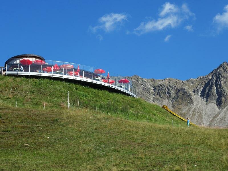
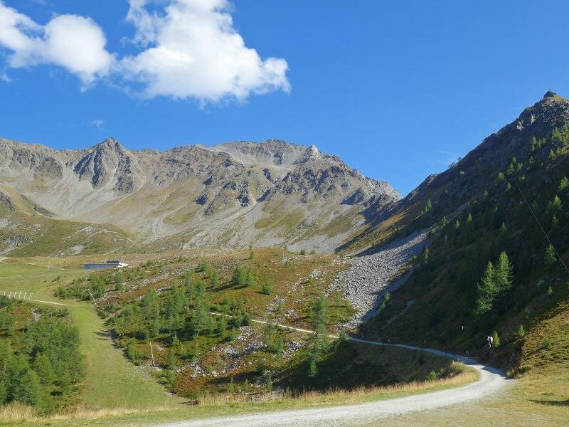
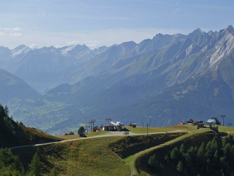
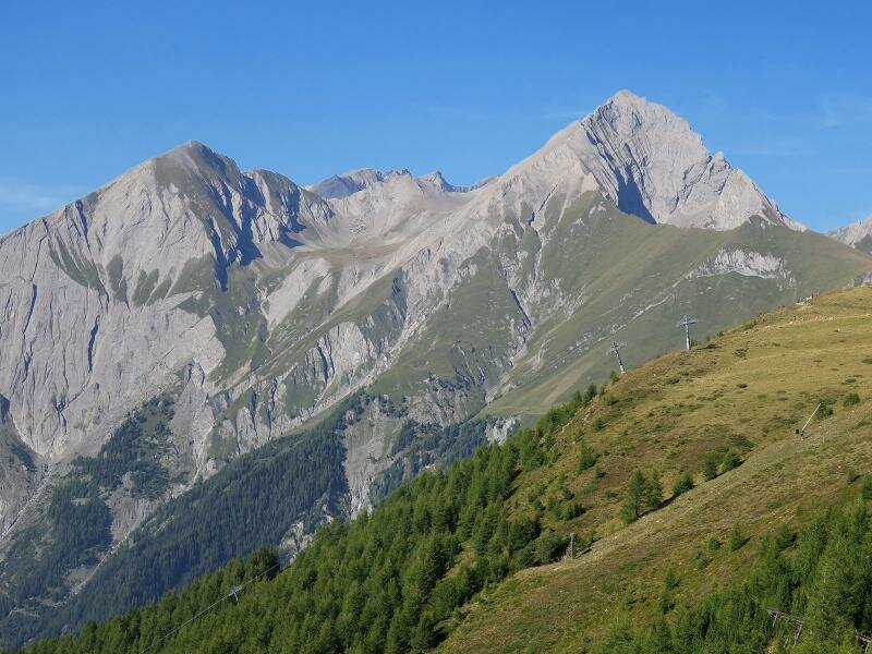
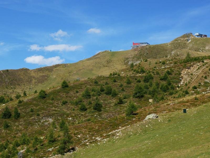
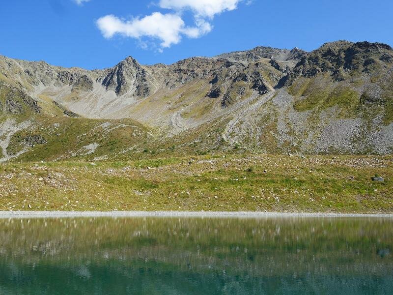
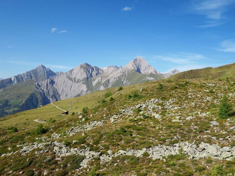
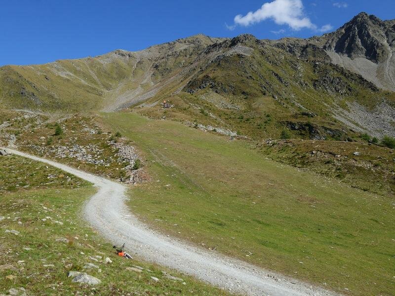
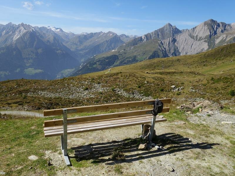
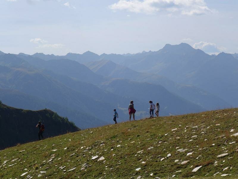

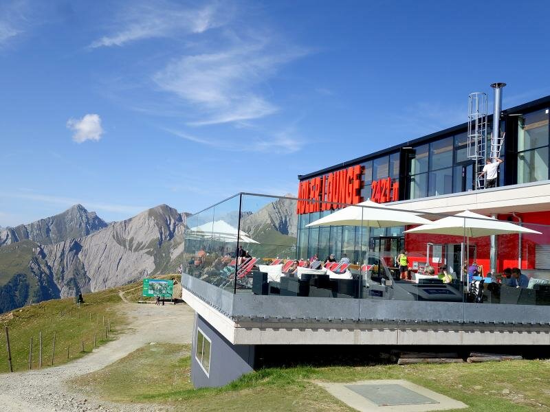
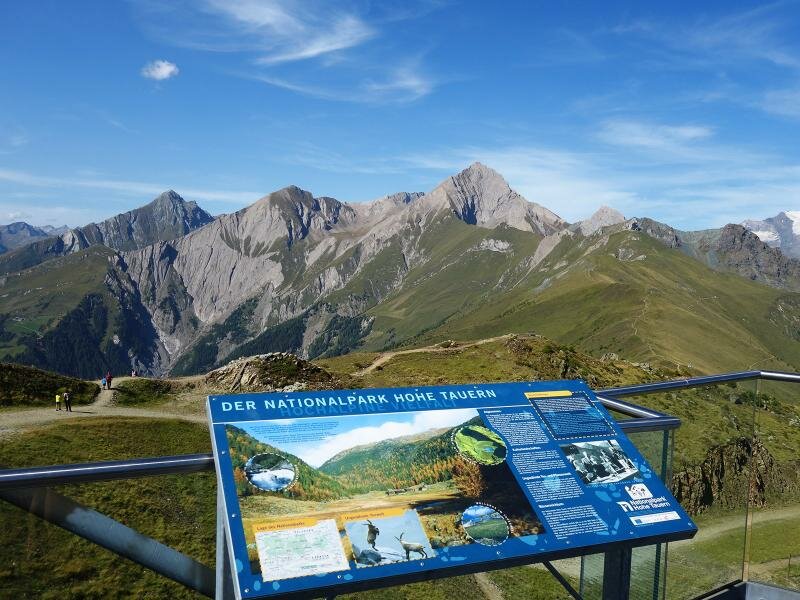
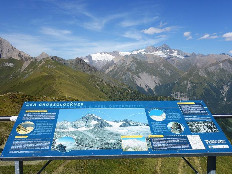
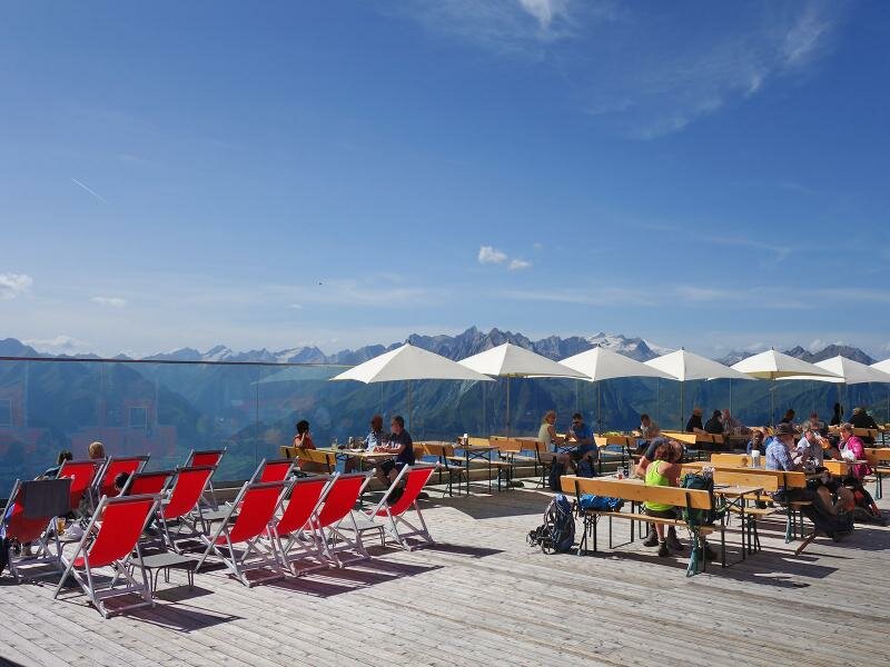
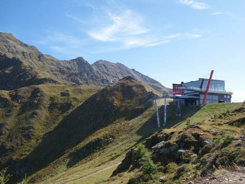
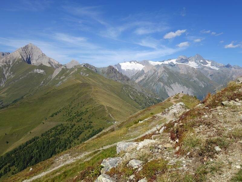
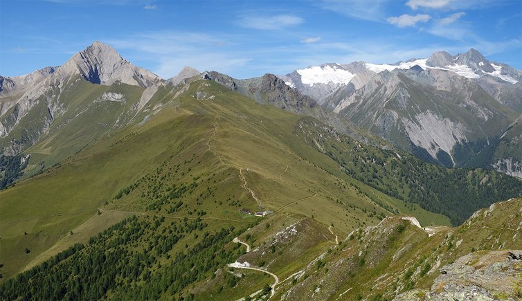
This short circular hike is highly recommended to those who are looking for stunning panoramic views without having to climb the highest peaks. In Matrei in Osttirol we take the Goldried cable car to the mountain station near the Restaurant Goldried, a restaurant at 2,100 m a.s.l. The itinerary runs along a carriageway across the pastures to the panoramic viewpoint Adlerlounge on the Cimaross peak. From here, we enjoy a magnificent view of the Grossglockner, the Grossvenediger and the Rötspitz.
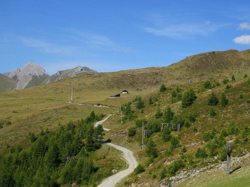
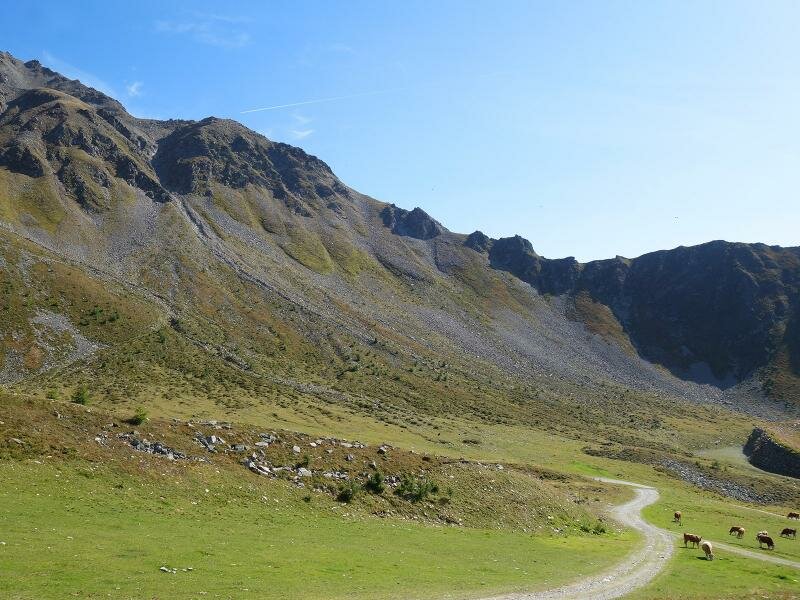
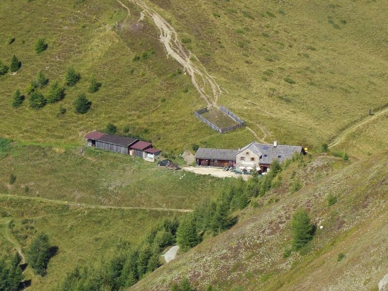
The second part of this hike leads downhill: initially, we follow path no. 27 to the Kals-Matreier-Törl (the eponymous mountain hut on the pass is a refreshment point). Then, we return to the mountain station of the Matreier cable car via a connection road. The easy, 5.5 km long routes can be completed in less than two hours of walking.
Date of the hike: 30 August 2017
Last updated in: 2026
Author: AT
-
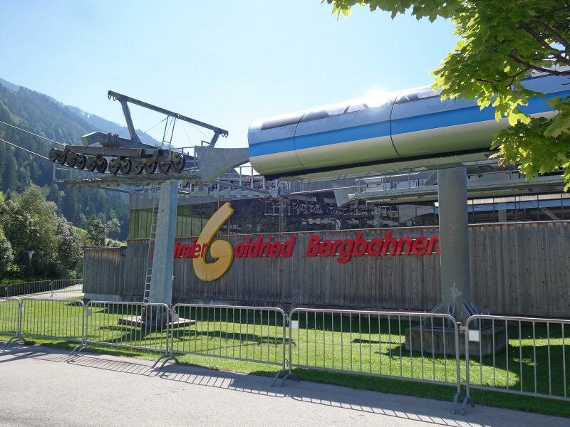
- Starting point:
- Bergrestaurant Goldried (mountain station cable car Goldried Matrei)
-
- Overall time:
- 02:00 h
-
- Total route length:
- 6,2 km
-
- Altitude:
- from 2.146 m to 2.410 m
-
- Altitude difference (uphill | downhill):
- +346 m | -346 m
-
- Signposts:
- 518, 27, 26
-
- Destination:
- Cimaross, Kals-Matreier-Törl-Haus
-
- Resting points:
- Restaurant Goldried, Kals-Matreier-Törl-Haus, Adlerlounge
-
- Recommended time of year:
- Jan Feb Mar Apr May Jun Jul Aug Sep Oct Nov Dec
-
- Download GPX track:
- To the Kals-Matreier-Törl pass via the Cimaross peak
If you want to undertake this hike, we recommend checking the weather and trail conditions in advance and on site before starting this hike!