The Winkeltal valley extends in the Villgraten mountains. From the Reiterstube at the centre of the valley starts a slightly uphill path leading across meadows and forests before arriving at the Volkzeinerhütte hut at the end of the valley
Image gallery: Through the Winkeltal valley to the Volkzeiner mountain hut
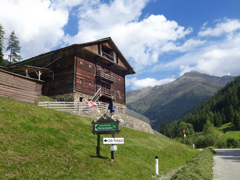
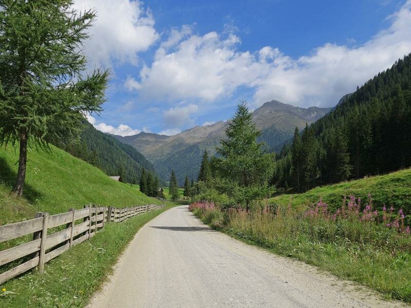
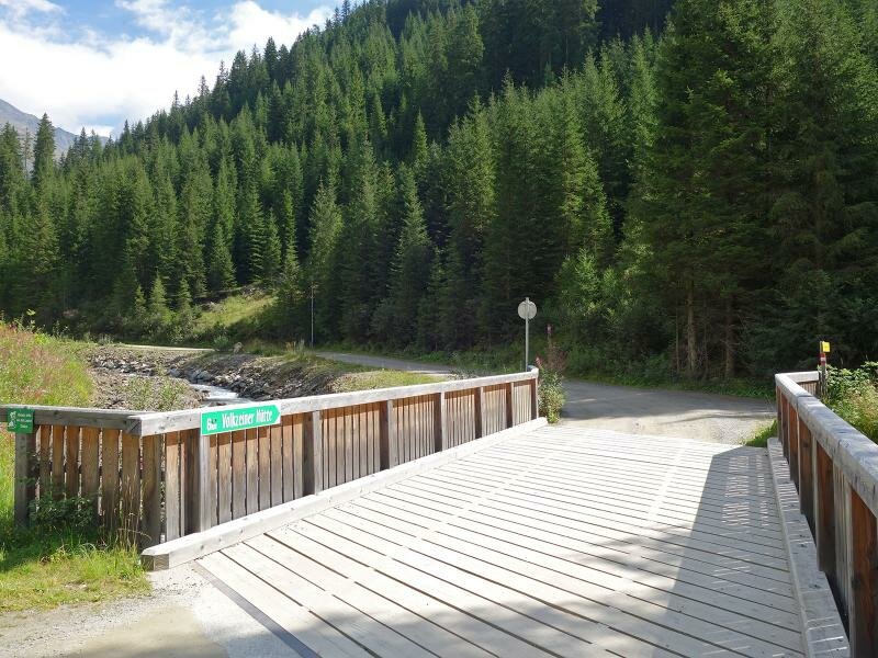
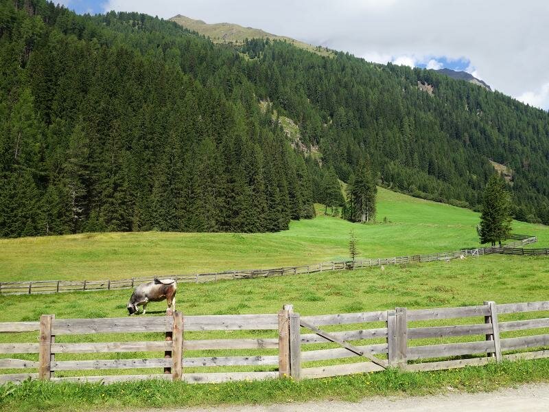
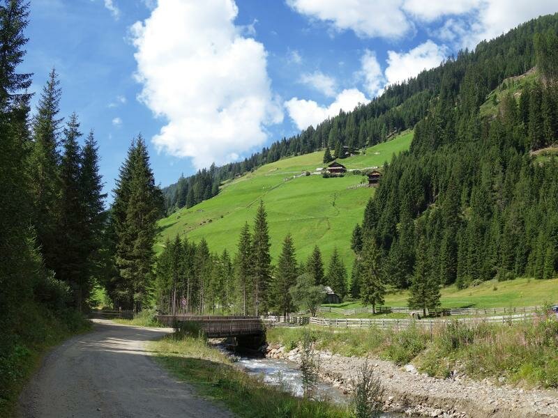
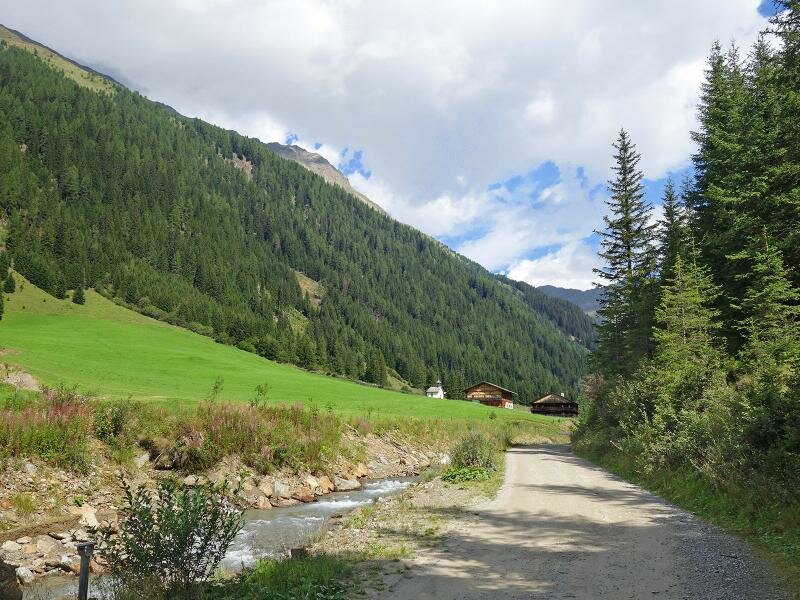
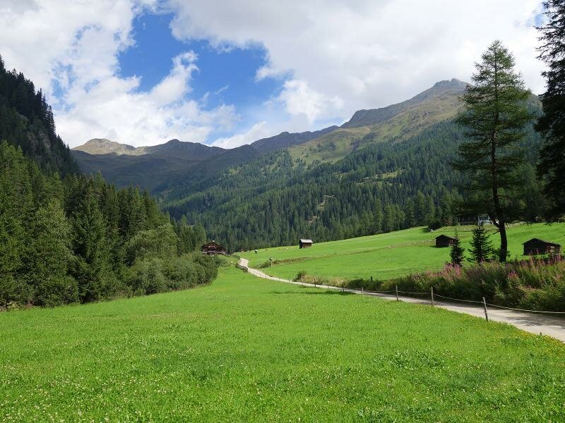
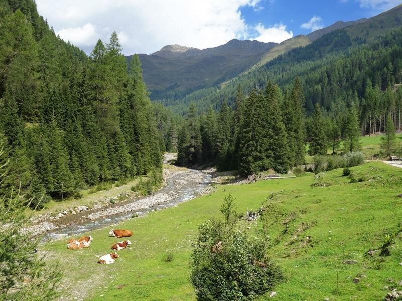
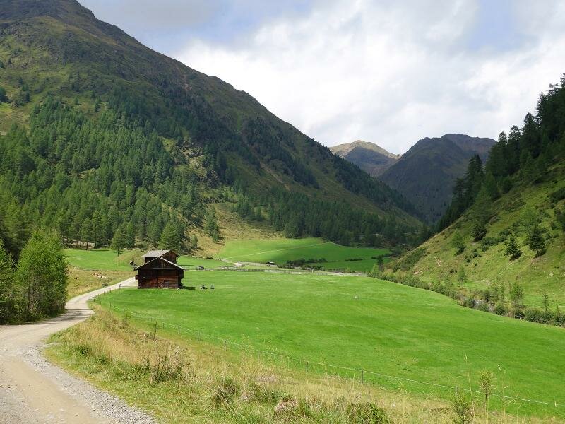
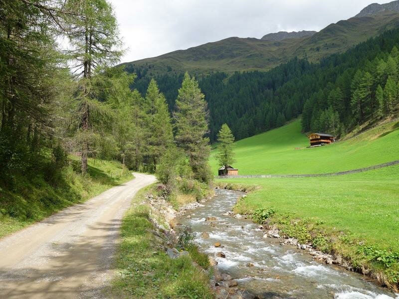
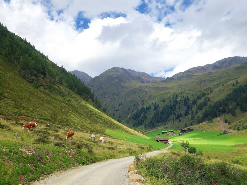
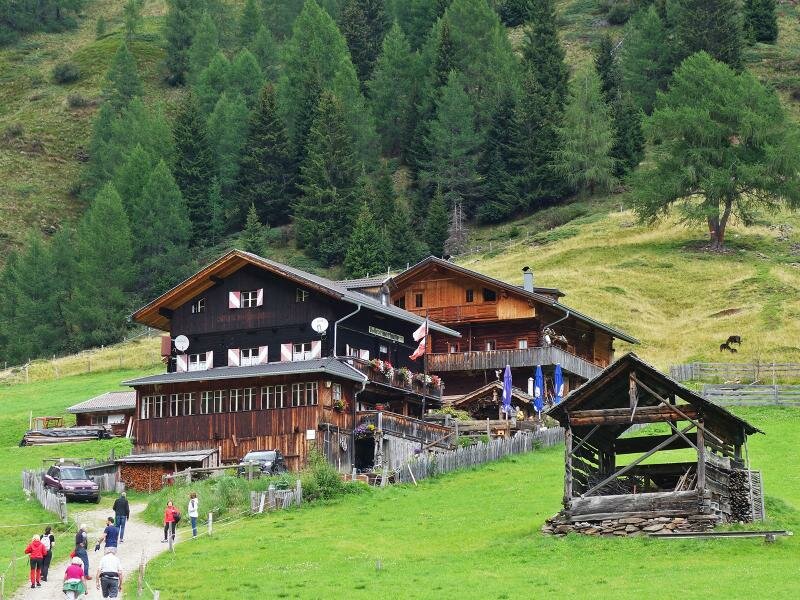
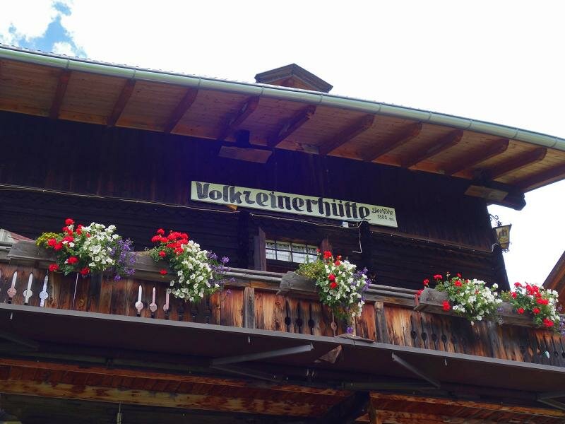
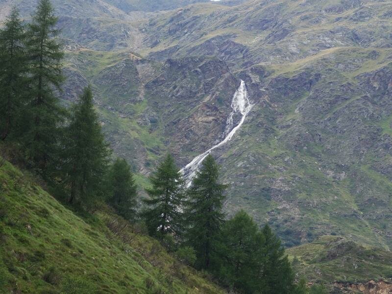
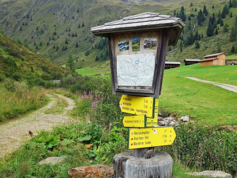
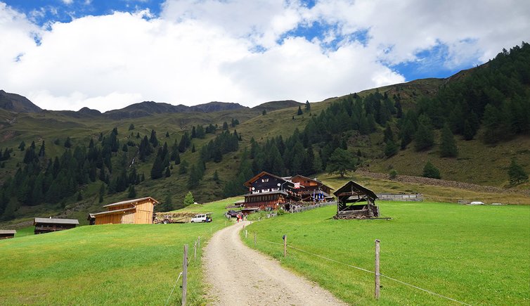
The popular Volkzeinerhütte hut in the heart of the Villgraten mountains at the end of the Winkeltal valley stands at the foot of the Hochwand, Hochalmspitze and Marcheggenspitze peaks. At the car park near the Reiterstube at 1,510 m a.s.l. we take the gravel path paralleling the Winkeltalbach brook to the centre of the valley. We walk past several pastures and huts, including the Niederbruggeralm, Brunneralm, Geireggalm, Gasseralm, Taletalm and Lackenkammeralm.
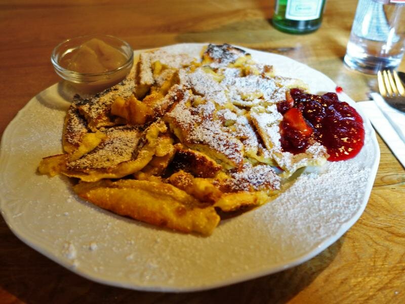
After a 6-km walk the forest opens up. Wonderful mountain meadows extend in a very large basin right in front of us. From there we can see malga Volkzeinalm with the eponymous hut, the destination of todays hike. We stop at the hut to try delicious Tyrolean dishes. On our return we retrace our steps.
Note: this large path has only a minimal elevation gain and two short ascents. It is therefore suitable for hikers of all levels and baby carriages. Otherwise you can reach the Volkzeinerhütte by car.
Date of the hike: 18 August 2017
Last updated in: 2026
Author: AT
-
- Starting point:
- Außervillgraten, Reiterstube Winkeltal valley (bus stop and parking space in the vicinity)
-
- Overall time:
- 03:45 h
-
- Total route length:
- 13,3 km
-
- Altitude:
- from 1.505 m to 1.900 m
-
- Altitude difference (uphill | downhill):
- +395 m | -395 m
-
- Destination:
- Volkzeiner Hütte
-
- Resting points:
- Volkzeiner Hütte (mountain hut)
-
- Recommended time of year:
- Jan Feb Mar Apr May Jun Jul Aug Sep Oct Nov Dec
-
- Download GPX track:
- Through the Winkeltal valley to the Volkzeiner mountain hut
If you want to undertake this hike, we recommend you to check the weather and trail conditions in advance and on site before setting out.