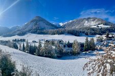
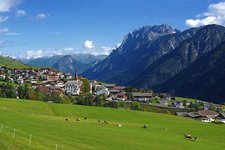
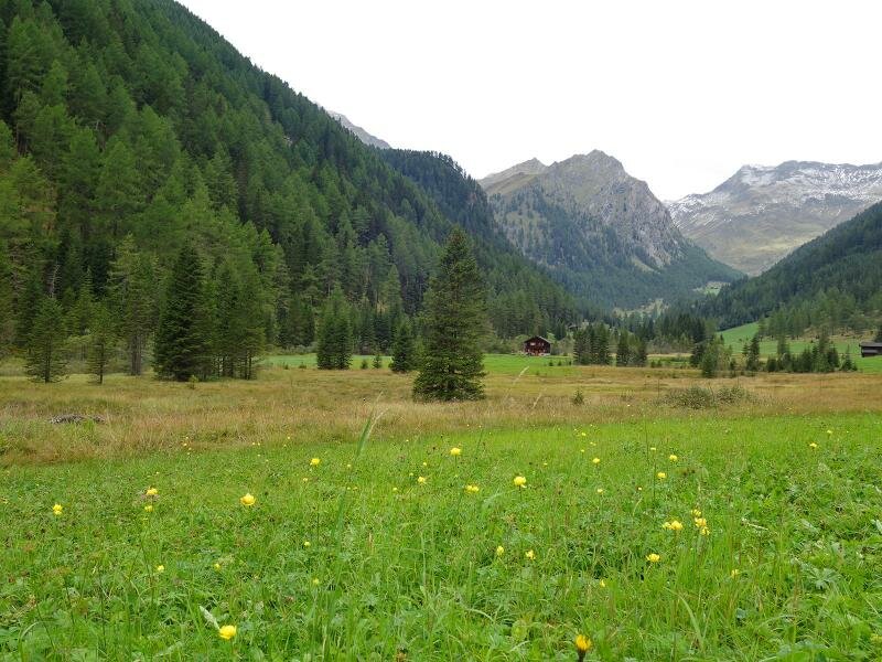
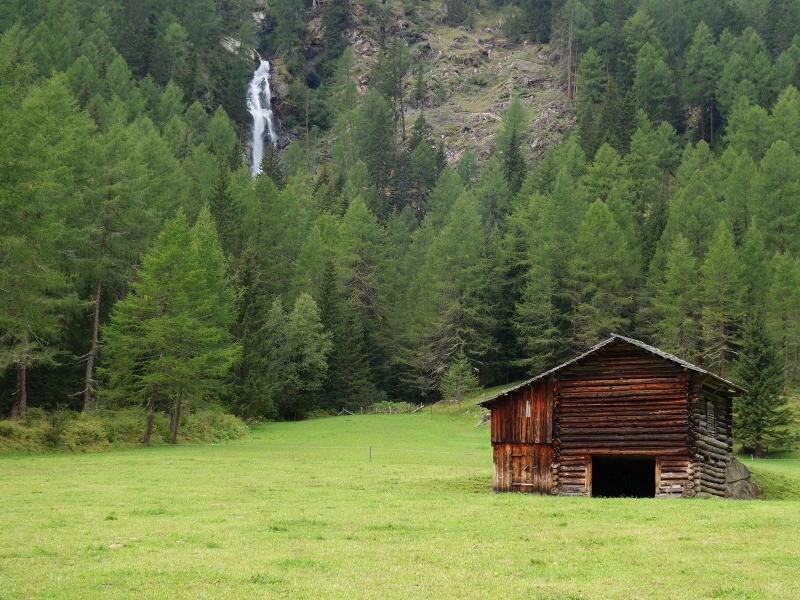
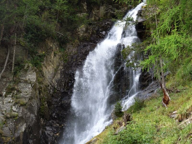
During this hike through the Val Pusteria in East Tyrol, we can admire a waterfall, as well as the majestic peaks of the valley, including the almost 3,000-m high Mount Gölbner
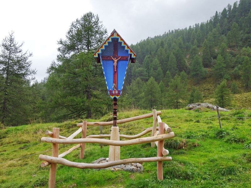
Image gallery: Through the Kristeinertal valley to the Gölbnerblick Mountain Hut
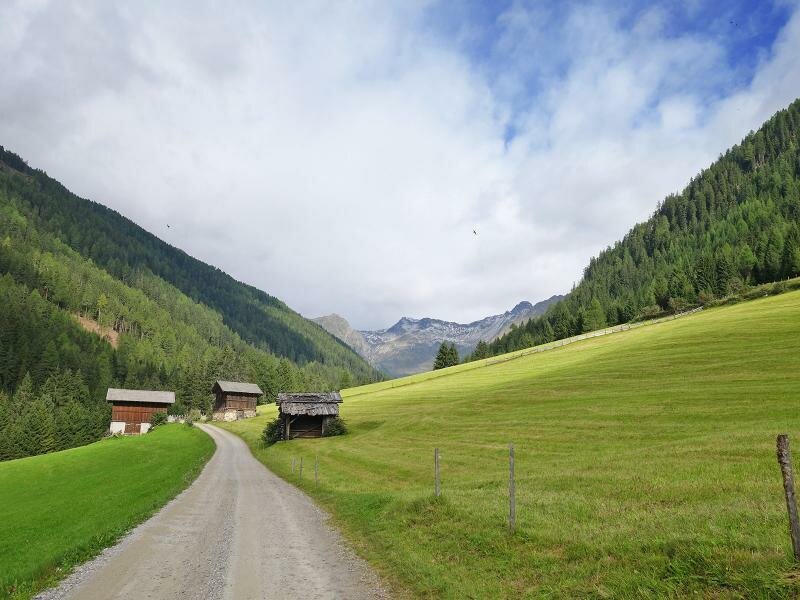
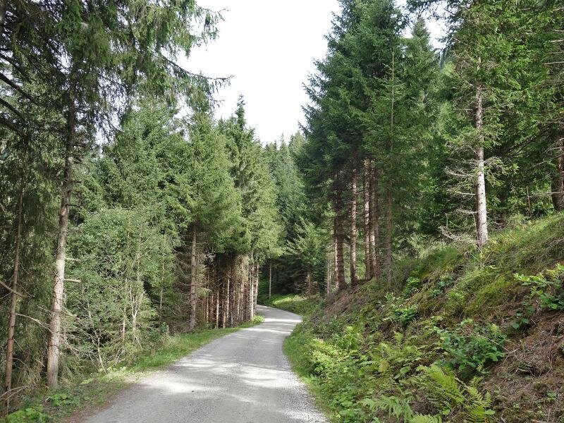
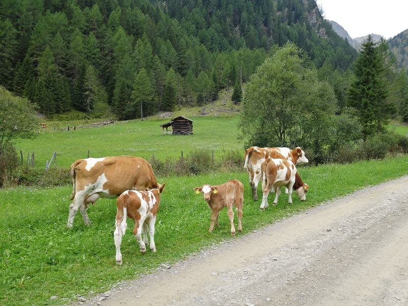
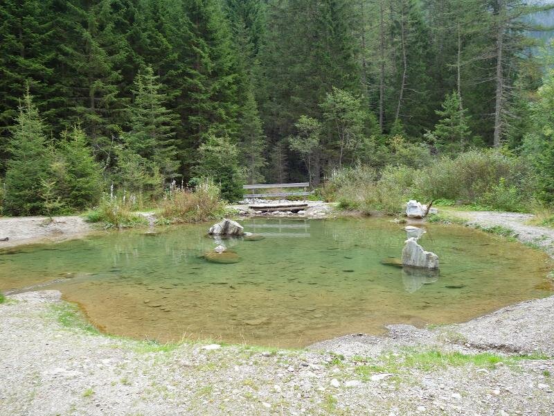
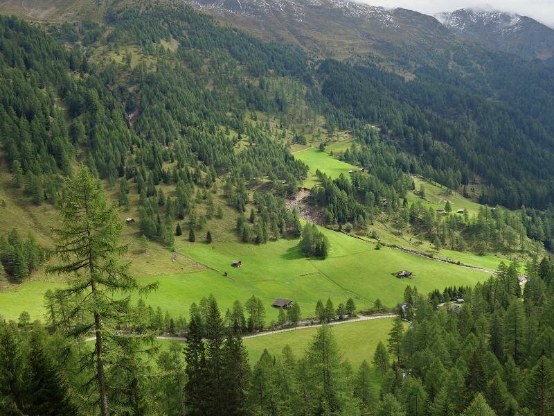
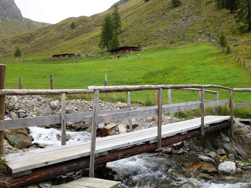
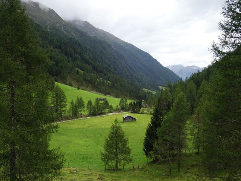
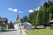
The Kristeinertal valley, a side valley of the Val Pusteria in the Mounts of Villgraten, branches off in Mitterwald an der Drau. We start our hike right at the bend after Vergein, a village along the panoramic road of the Val Pusteria. Then, we take a gravel path to the pastures of the valley. After about four kilometres along a rather flat path, we cross a bridge to continue on the western valley side. On our way to the end of the valley, we pass the "Lake Lois" pond.
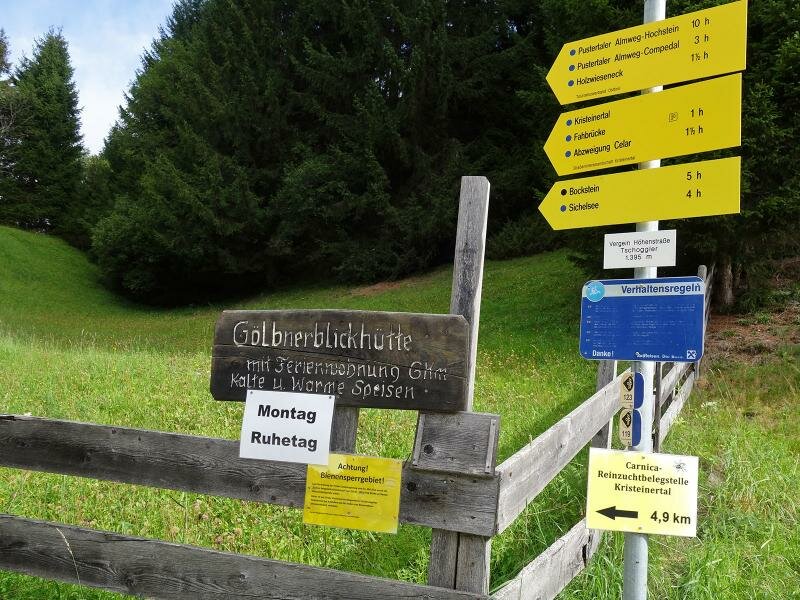
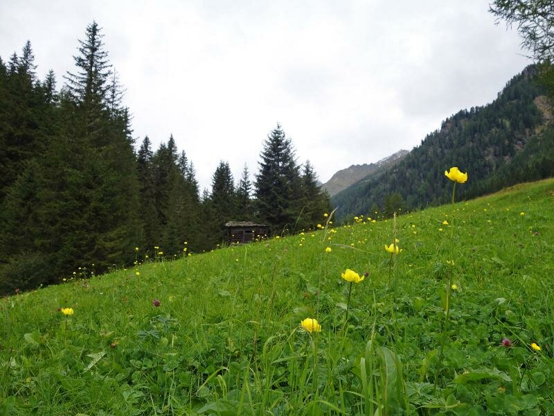
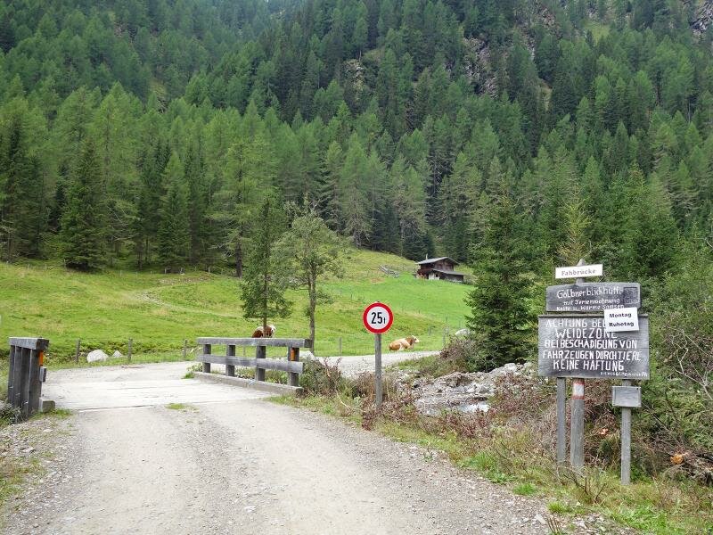
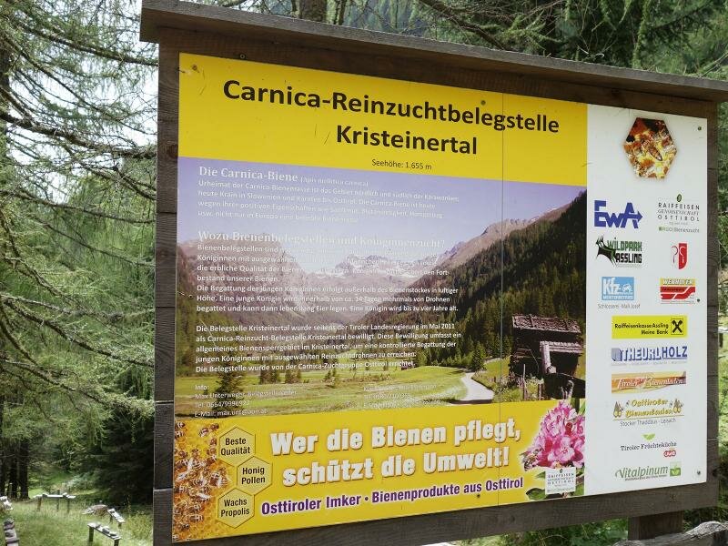
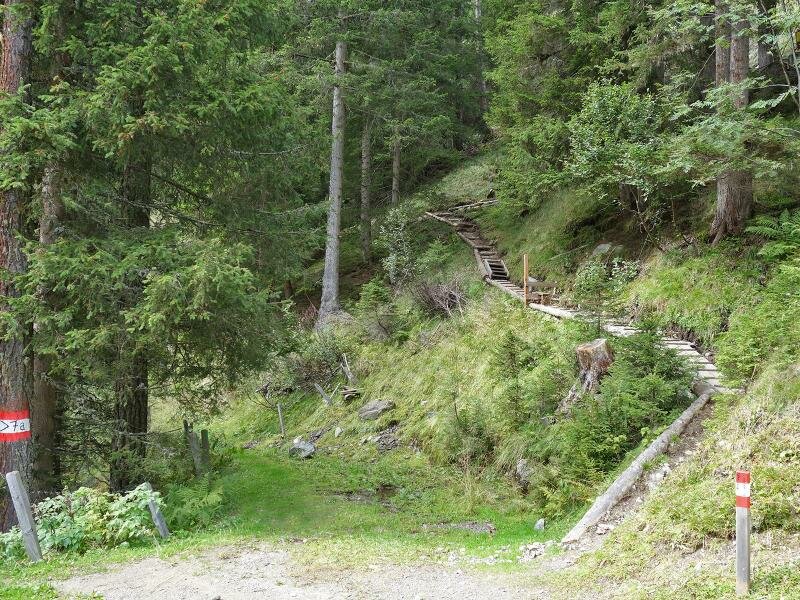
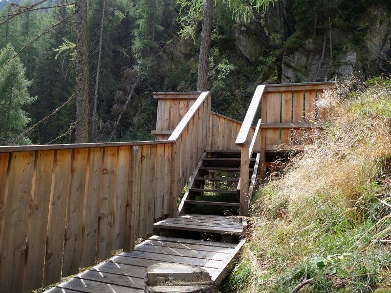
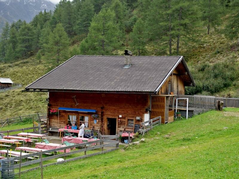
Shortly after, the path proceeds towards the Celar waterfall. Having passed the isolated mating yard for carnic bees, path no. 7A branches off to our left. We follow it until a panoramic platform from where we enjoy a beautiful view of the waterfall. We continue ascending along the same path until we reach the mountain meadows of Celar, where also the Gölbnerblick-Hütte hut stands. Here, we enjoy a relaxing break and taste delicious local dishes before returning to our starting point. We recommend taking the vehicle accessible road no. 6 back to the starting point, as it is less steep and larger than path no. 7A.
Date of the hike: 5 September 2017
Last updated in: 2026
Author: AT
-
- Starting point:
- Pustertaler Höhenstraße mountain road near Vergein, junction „Tschoggler“
-
- Overall time:
- 03:10 h
-
- Total route length:
- 11,4 km
-
- Altitude:
- from 1.398 m to 1.831 m
-
- Altitude difference (uphill | downhill):
- +488 m | -488 m
-
- Signposts:
- Gölbnerblickhütte, no. 7, 7a
-
- Destination:
- Gölbnerblickhütte mountain hut
-
- Resting points:
- Gölbnerblick Hütte
-
- Recommended time of year:
- Jan Feb Mar Apr May Jun Jul Aug Sep Oct Nov Dec
-
- Download GPX track:
- Through the Kristeinertal valley to the Gölbnerblick Mountain Hut
If you want to undertake this hike, we recommend you to check the weather and trail conditions in advance and on site before setting out.