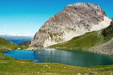
The Obstansersee lake is a natural highlight in the Alpi Carniche. Nature lovers will definitely not miss this stunning gem, even if they will need to tackle 900 metres of elevation gain to admire it
Image gallery: From Kartitsch to the Obstansersee lake
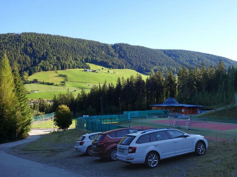
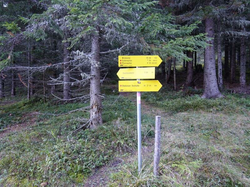
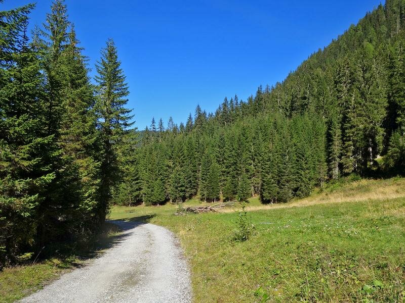
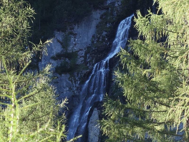
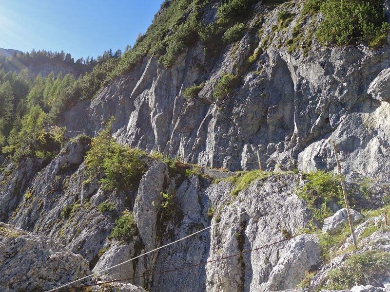
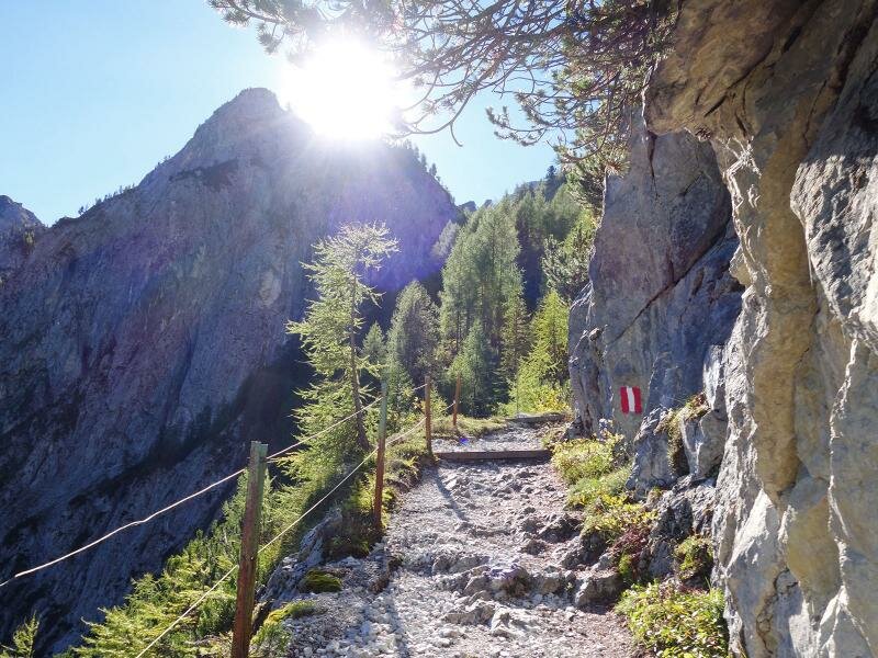
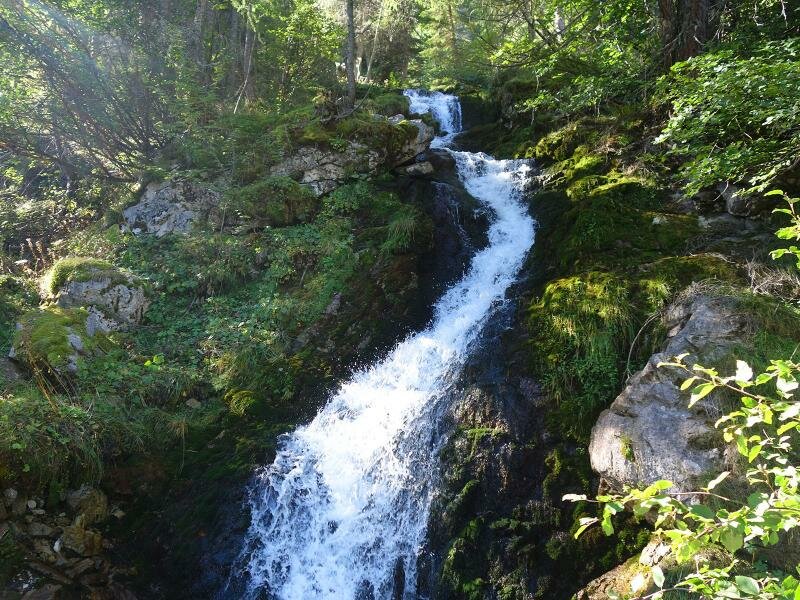
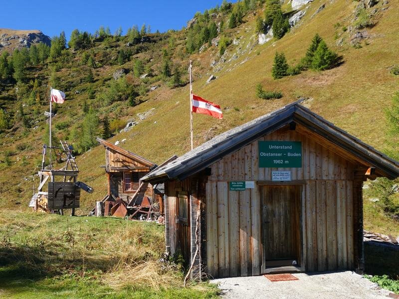
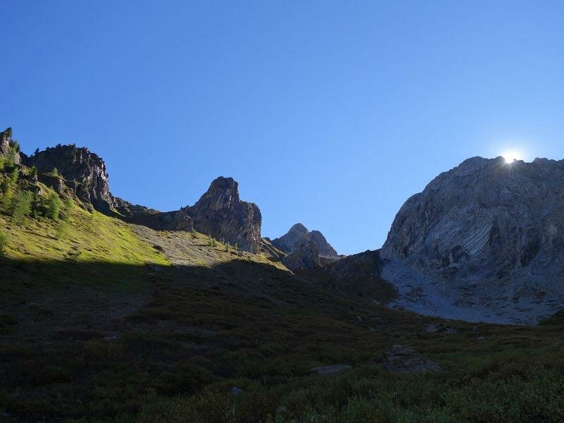

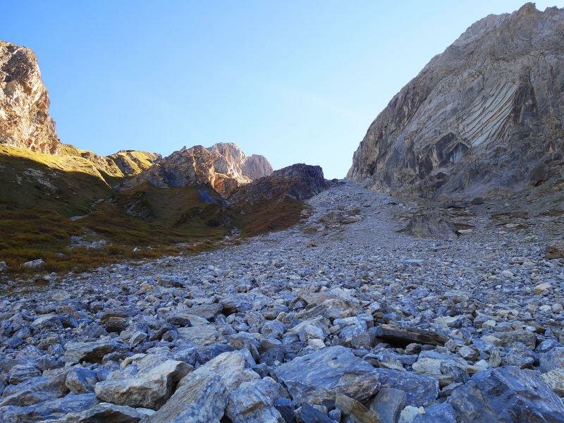
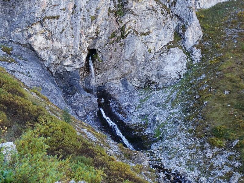
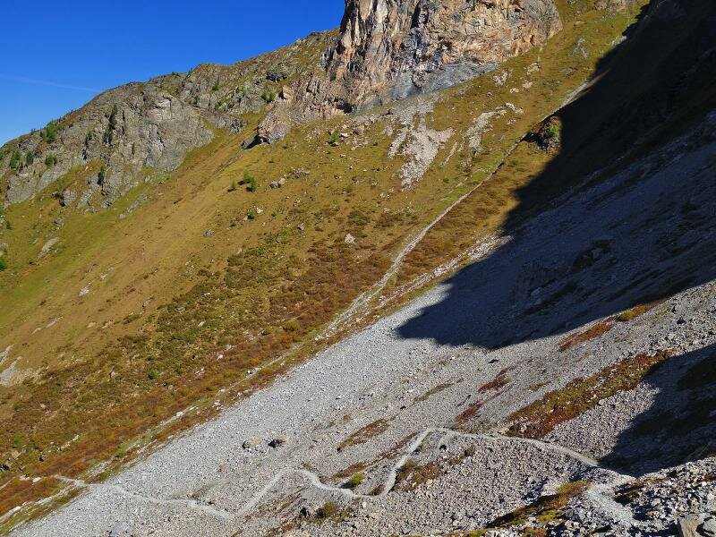

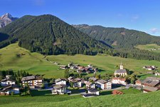
The starting point of today's hike to the Obstansersee lake is the village of Kartitsch. At the church we take the path towards the Hotel Waldruhe and the sports ground where we follow a forest road through the Winklertal valley. At the end of the valley we admire the stunning Obstanser waterfall which is formed by several waterfalls tumbling to the valley from a rocky wall. Path no. 466 ascends through a rocky landscape until 1,900 m of altitude where the Obstanser Boden meadows lie.
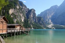
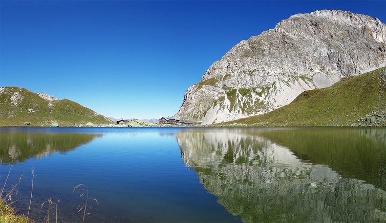
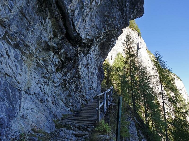
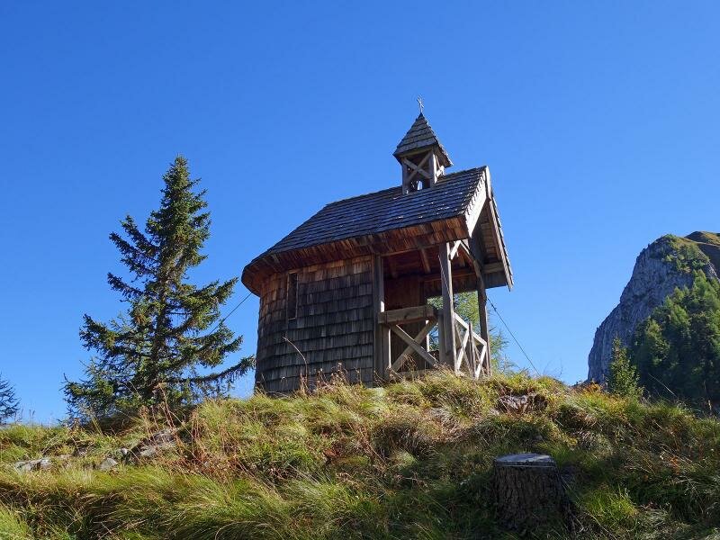
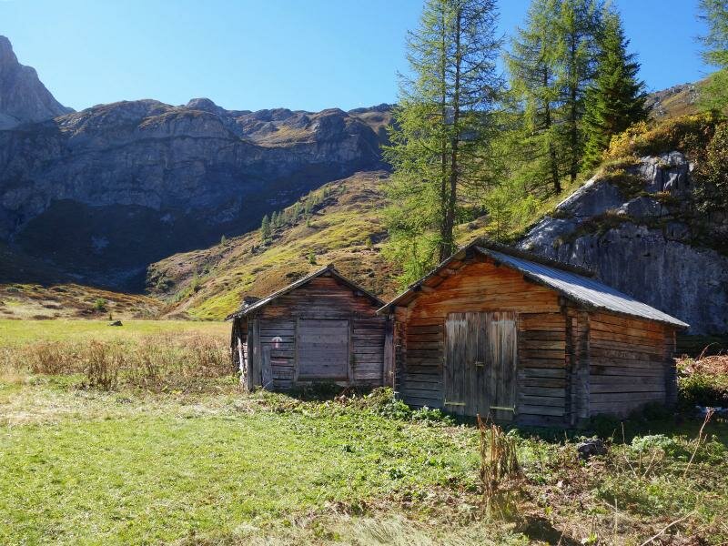
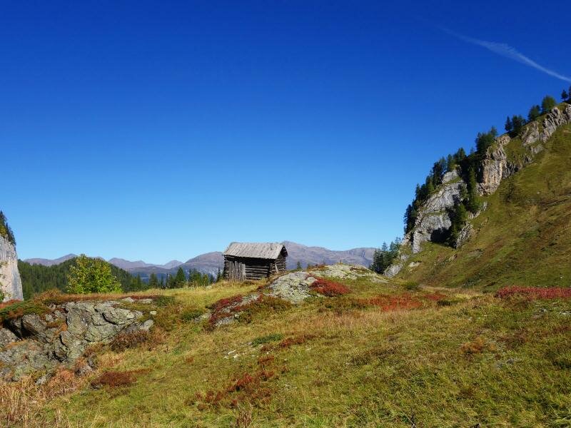
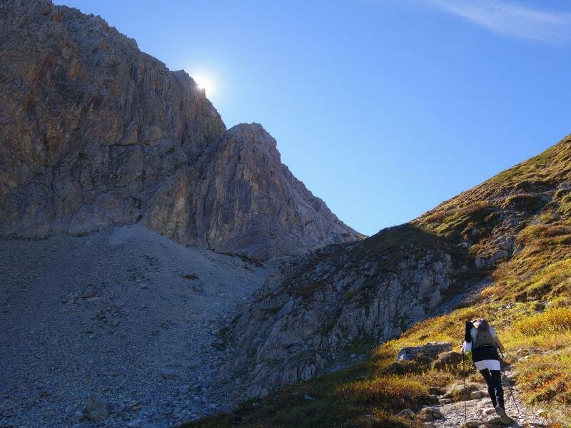
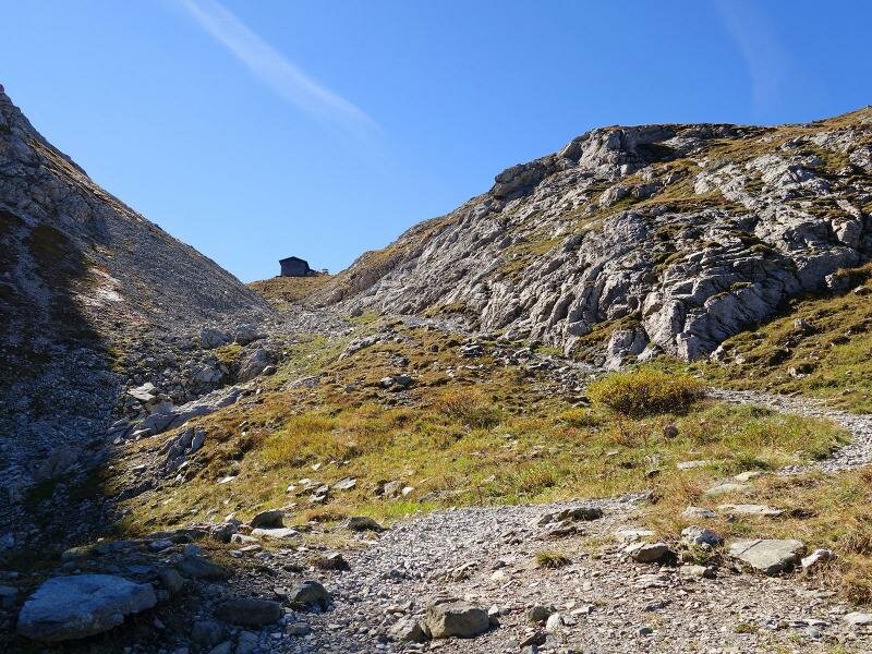
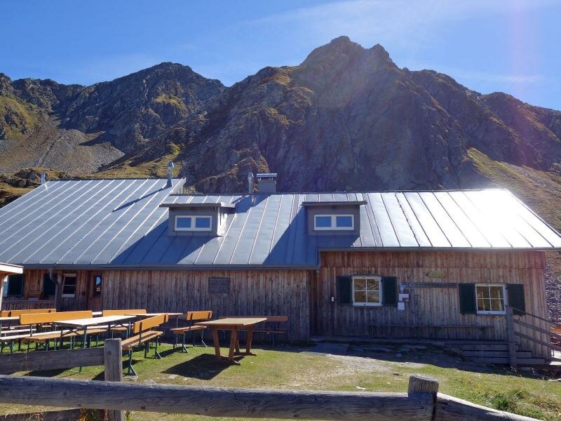
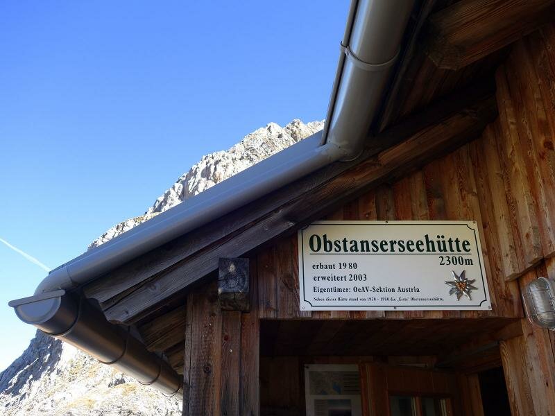
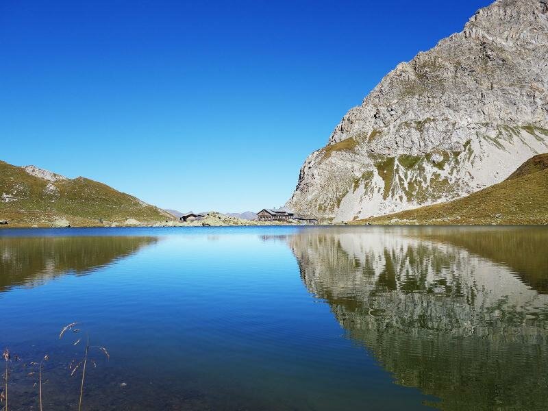
We walk past the wooden chapel Prinz Heinrich Kappelle and a wooden hut. Then, we cross the flat mountain meadows before proceeding steeply uphill through the rocky landscape at the foot of Monte Cavallo. As we ascend, we admire the Obstanser ice cave from which a spring gushes out. We arrive at the impressive Obstansersee lake and the nearby Obstansersee hut at 2,300 m a.s.l. The lake is a true natural gem on the Cresta Carnica which should definitely be immortalised in a photograph. The sky is reflected in the blue water of the lake and the snow-covered glaciers of the Alti Tauri stand out on the horizon.
Date of the hike: 27 September 2018
Last updated in: 2026
Author: AT
-
- Starting point:
- Kartitsch
-
- Overall time:
- 04:55 h
-
- Total route length:
- 13,3 km
-
- Altitude:
- from 1.390 m to 2.305 m
-
- Altitude difference (uphill | downhill):
- +927 m | -927 m
-
- Route:
- Kartitsch - sports ground – waterfall – Prinz Heinrich Chapel – Obstansersee lake
-
- Signposts:
- Obstanser Seehütte, Nr. 466
-
- Resting points:
- Obstanser Seehütte mountain hut
-
- Recommended time of year:
- Jan Feb Mar Apr May Jun Jul Aug Sep Oct Nov Dec
-
- Download GPX track:
- From Kartitsch to the Obstansersee lake
If you want to undertake this hike, we recommend you to check the weather and trail conditions in advance and on site before setting out.