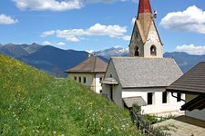
From the village of Elle we take a hiking path to Malga Walder and to the forest limit below passo Astjoch where the Ellener Kreuz, a fantastic panoramic viewpoint above the Val Pusteria and its surroundings stands
Image gallery: Hike via the Walder Alm to the Ellener Kreuz
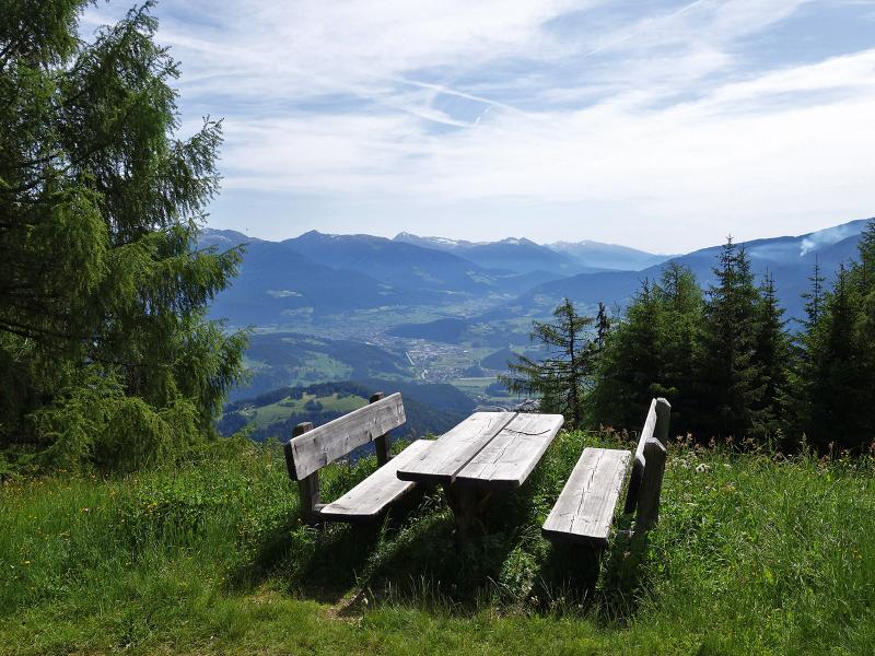
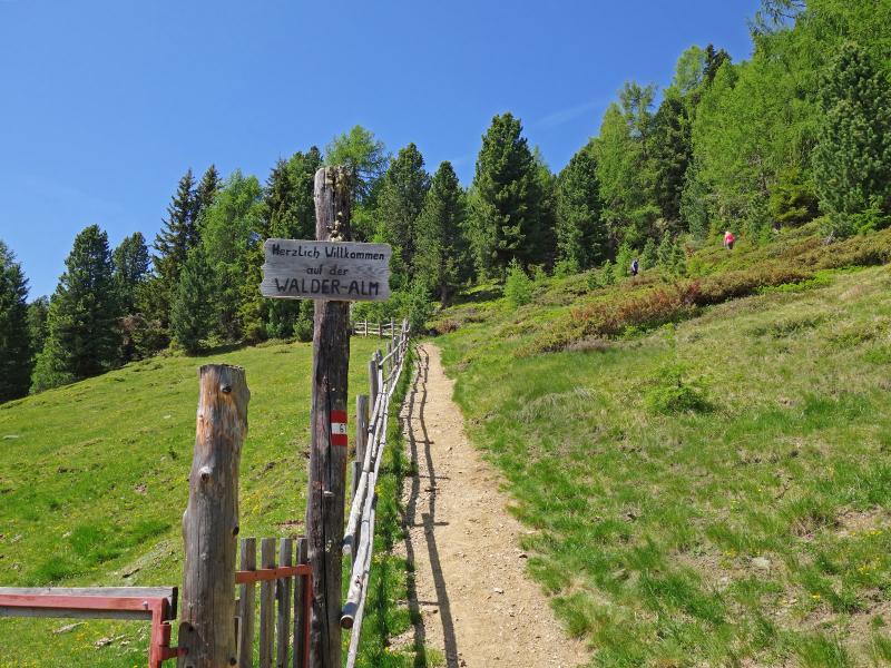
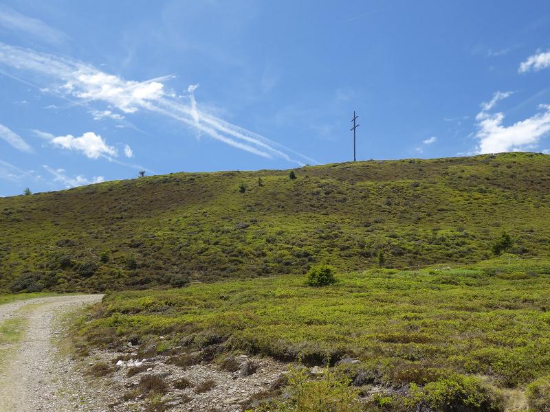
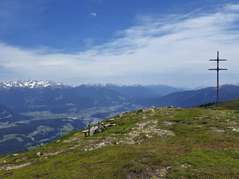
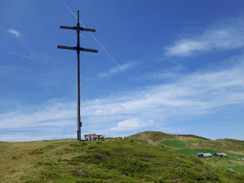
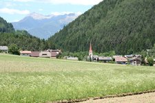
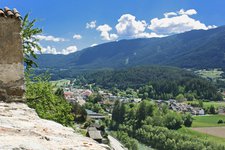
The Cima Lasta (also known as Astjoch or Burgstall) is one of the peaks on the high plateau of the Rodengo and Luson pastures. The most famous paths ascend from Rodengo and Luson. However, the Ellener Kreuz is also accessible via an alternative forest path in the Val Badia which starts above Mantana (Montal) near Elle (Ellen), a mountain hamlet. This path takes us up to the alpine meadows on the eastern side of the ridge.
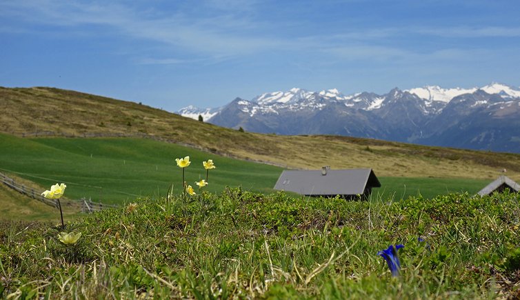
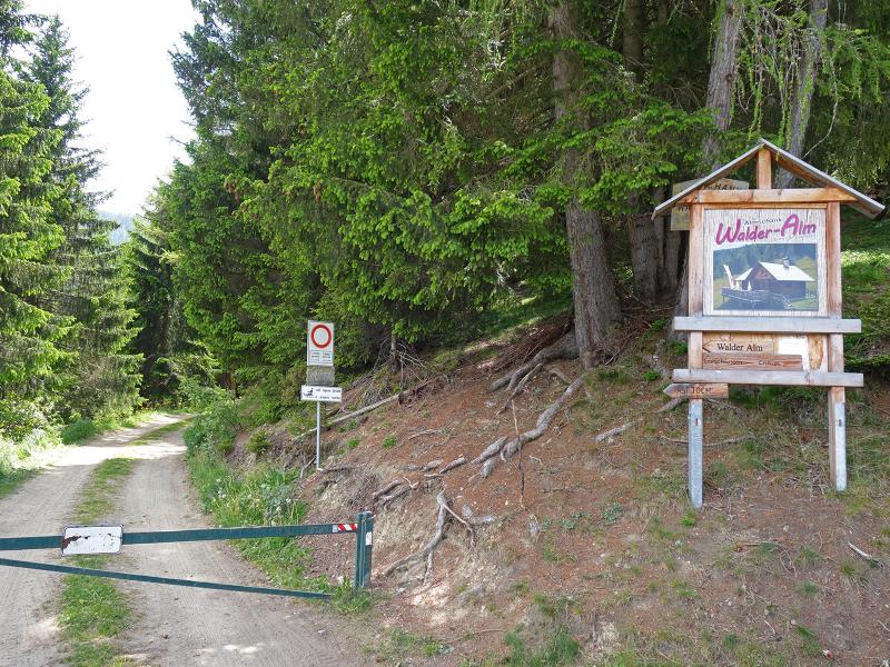
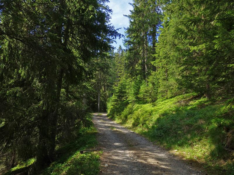
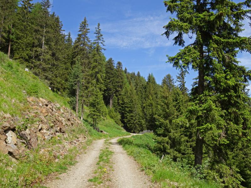
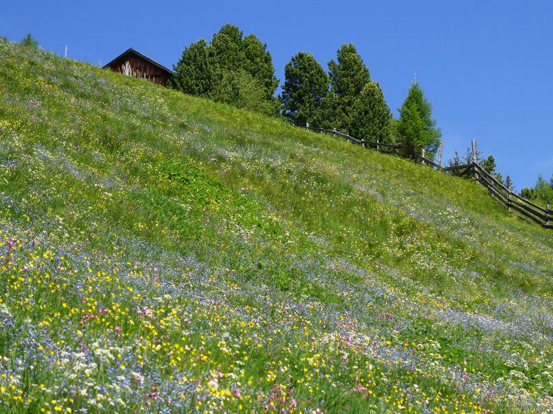
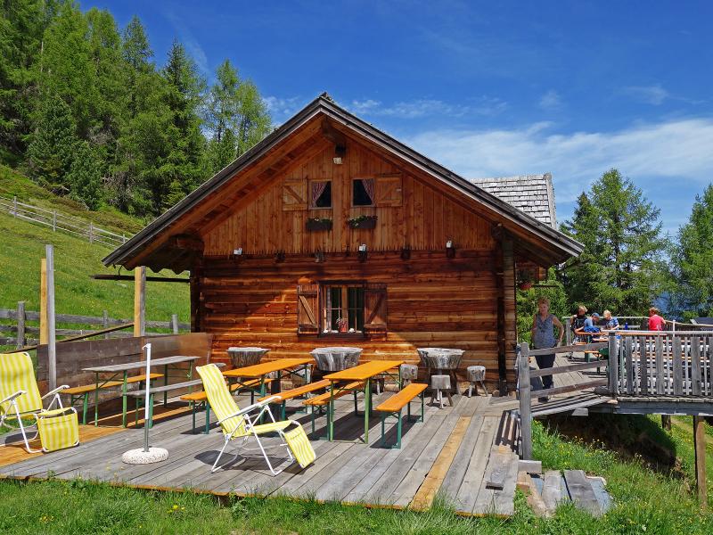
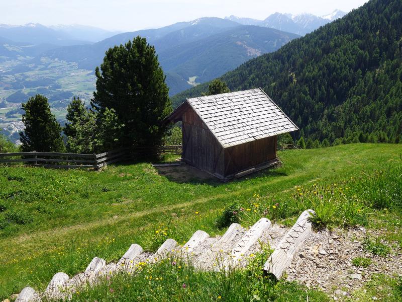
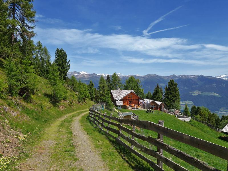
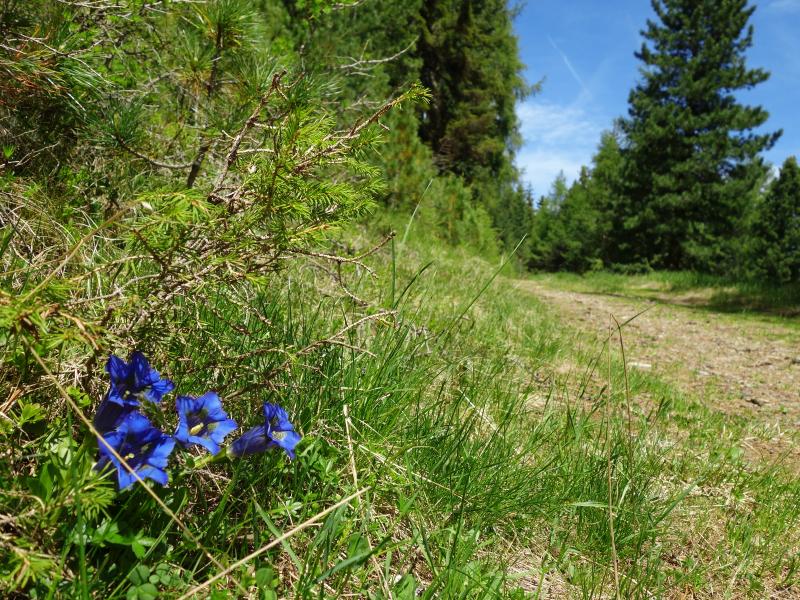
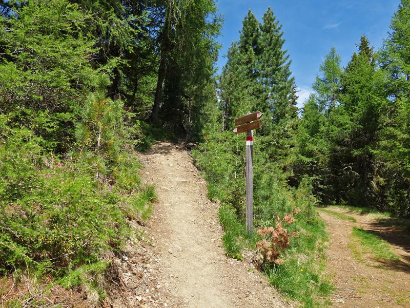
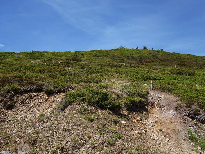
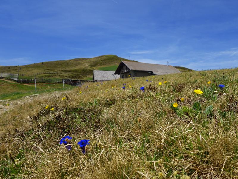
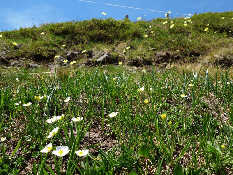
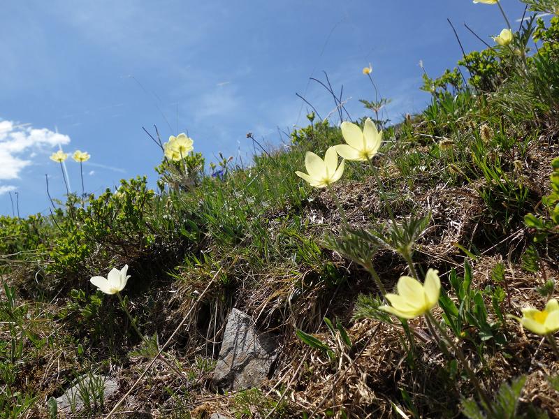
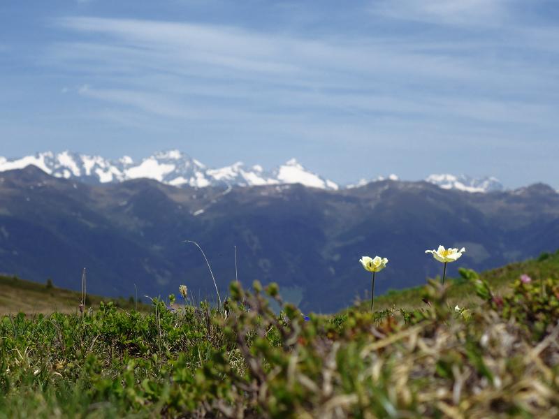
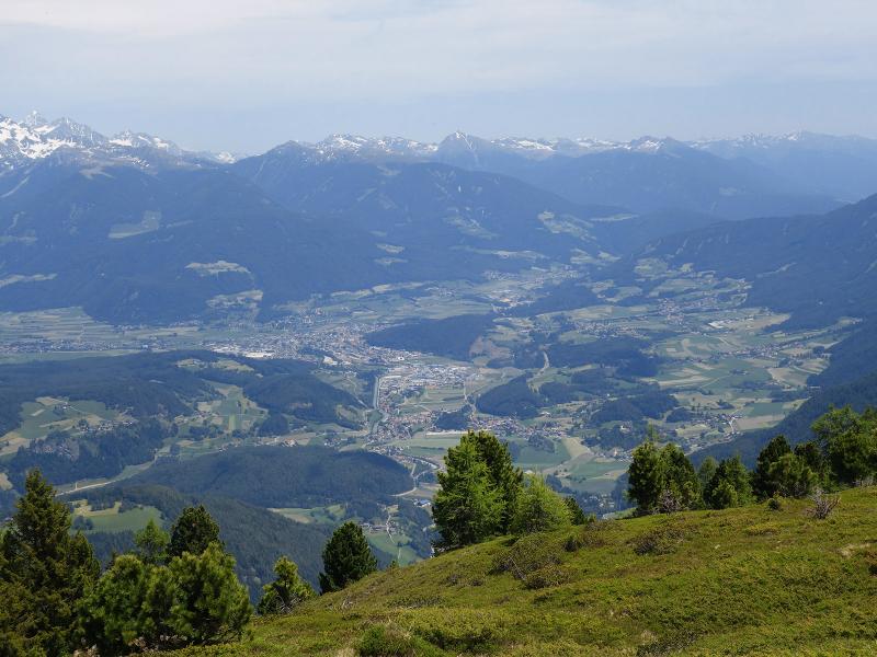
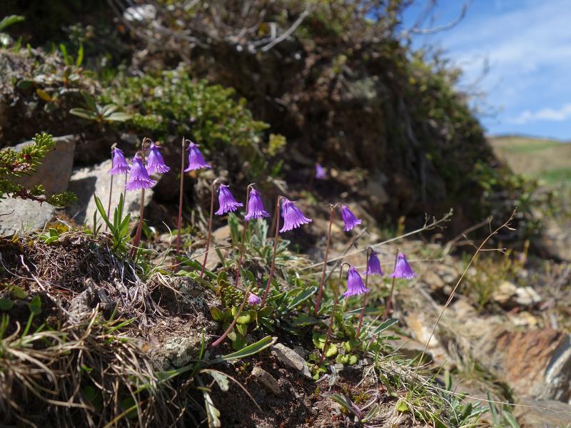
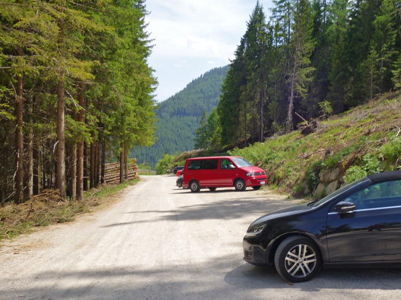
Our starting point is the car park near Kreuznerhof above Elle which is reachable via a mountain road from Mantana. We follow the signpost to malga Walder. The forest road runs always slightly uphill through the forest until the malga at 1,900 m a.s.l. which delights us with an extensive carpet of marvellous alpine flowers. In mid June the mountain hut is almost ready for the season opening. Path no. 67 leads uphill through the forest to the forest limit where wonderful alpine pastures and moorlands extend. Besides the numerous blossoming plants we are amazed by the surrounding mountains and the beautiful view of the valley.
On our way back we retrace our steps. Alternatively you could also return along the "Burgstallalm" forest path and follow signpost no. 67B to return to the starting point near the Kreuznerhof instead of following path no. 67 to the Waldner Alm as we did. The "Burgstallalm" forest path is easier but also longer by 1.5 km.
Date of the hike: 14 June 2019
Last updated in: 2026
Author: AT
-
- Starting point:
- parking space "Kreuznerhof" above Elle
-
- Overall time:
- 03:20 h
-
- Total route length:
- 9,2 km
-
- Altitude:
- from 1.557 m to 2.116 m
-
- Altitude difference (uphill | downhill):
- +573 m | -573 m
-
- Signposts:
- forest path "Walder Alm" resp. path no. 67
-
- Destination:
- Ellener Kreuz
-
- Resting points:
- Walder Alm
-
- Recommended time of year:
- Jan Feb Mar Apr May Jun Jul Aug Sep Oct Nov Dec
-
- Download GPX track:
- Hike via the Walder Alm to the Ellener Kreuz
If you want to undertake this hike, we recommend checking the weather and trail conditions in advance and on site before starting this hike!