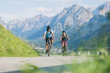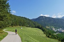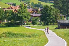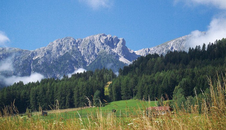
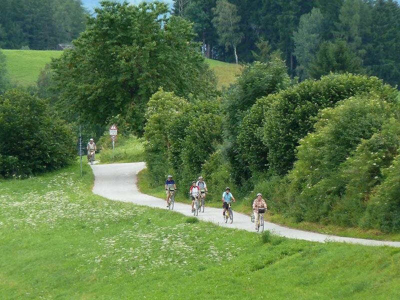
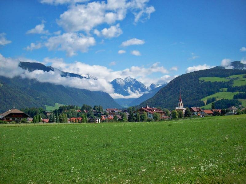
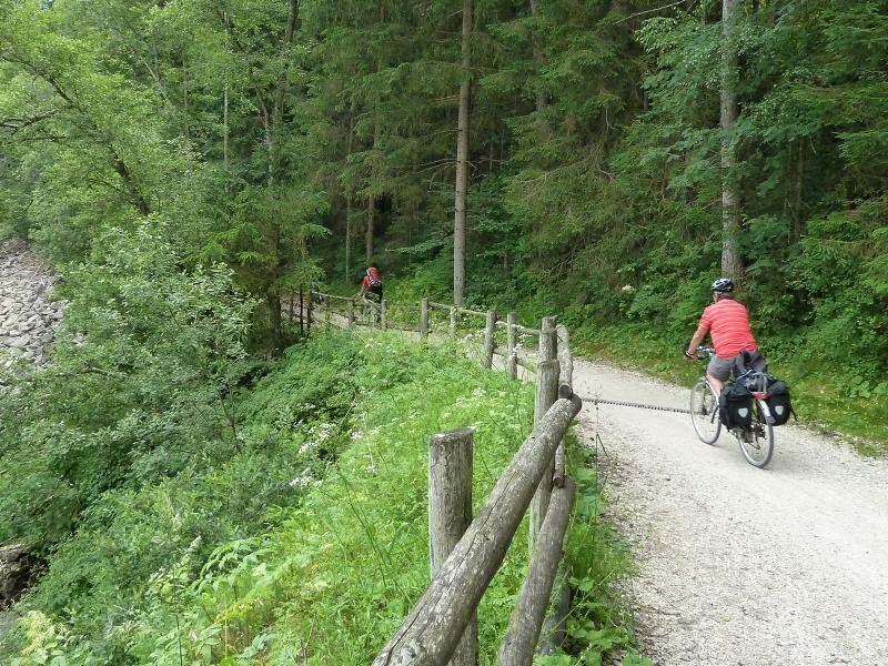
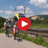
The cycle route of the Val Pusteria, known as Pusterbike, runs along the course of the Rienza river. This text describes the section between Brunico and the Alta Pusteria
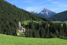
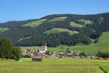
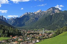
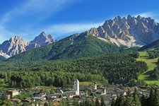
Image gallery: Pusterbike Cycle Path from Brunico to San Candido
PLEASE NOTE: THE SECTIONS BETWEEN PERCA - VALDAORA DI SOTTO, VALDAORA DI SOPRA - MONGUELFO EST AND VILLABASSA - DOBBIACO ARE CURRENTLY CLOSED DUE TO WORKS.
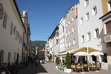
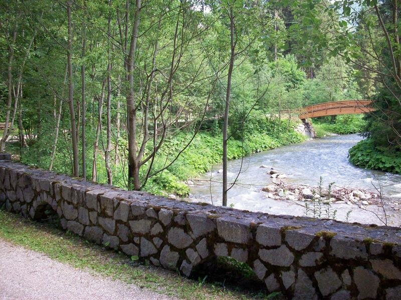
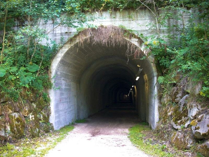
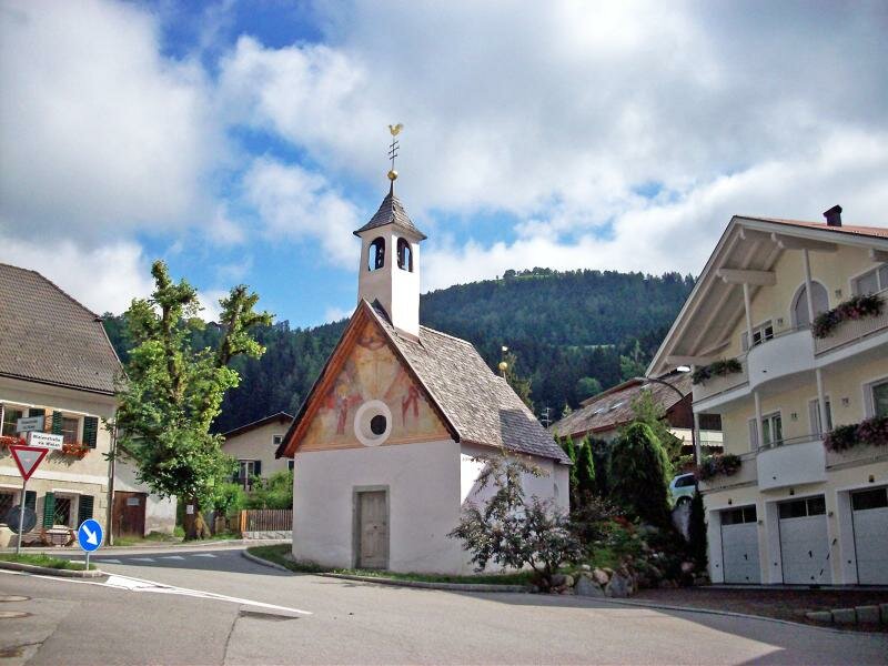
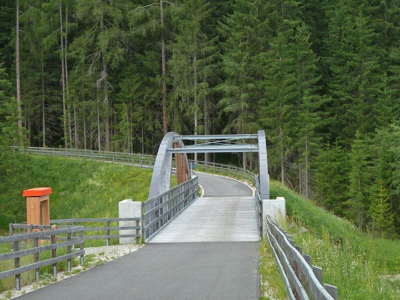
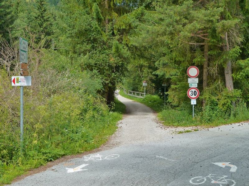
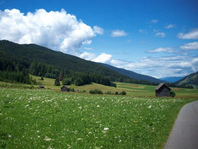
From the centre of Brunico cycle along the southern dam of the Rienza stream towards east. Pass the sports grounds and soon the path continues across the forest and through a tunnel. The Via Romana right after the tunnel takes us to the quiet village of Vila di Sotto. This low trafficked secondary road leads to the municipality of Valdaora, composed of the hamlets of Valdaora di Sotto, Valdaora di Mezzo and Valdaora di Sopra, which needs to be crossed.
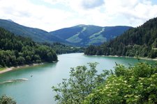
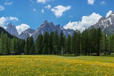
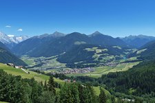
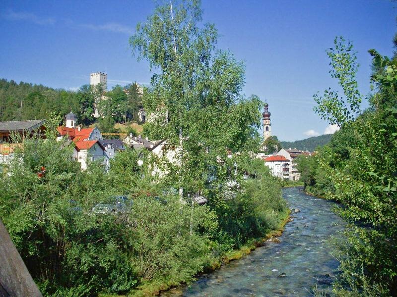
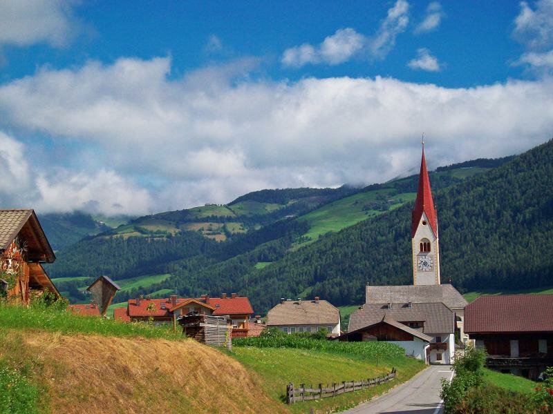
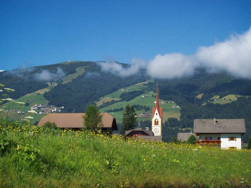
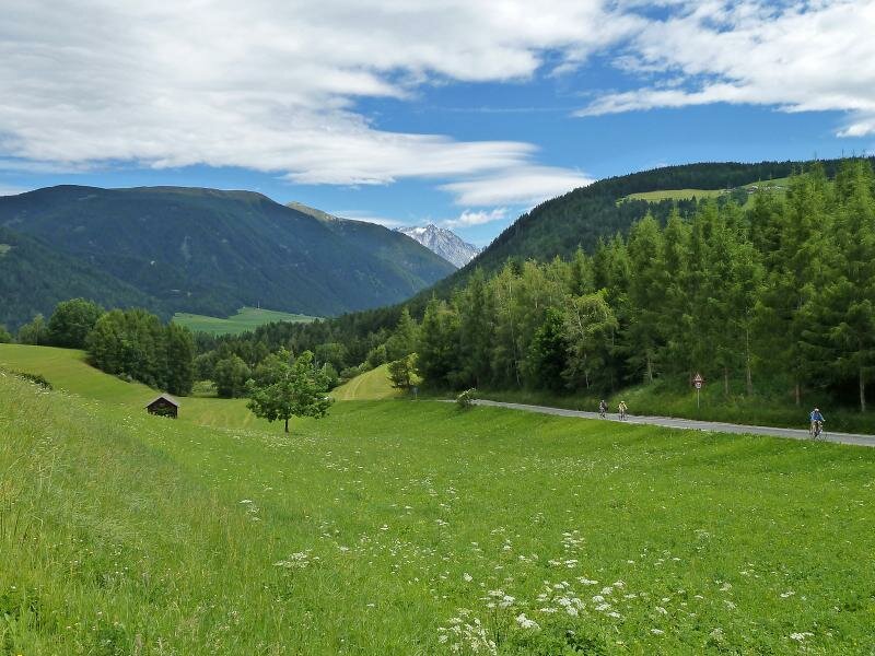
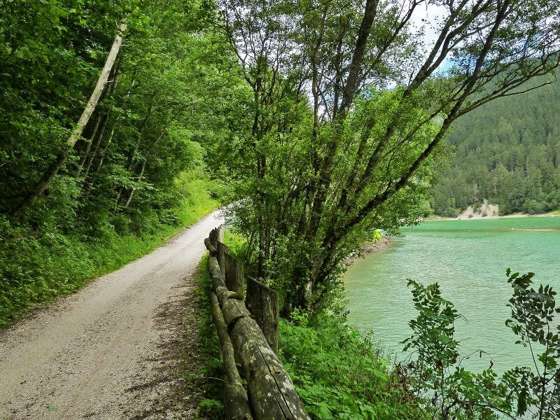
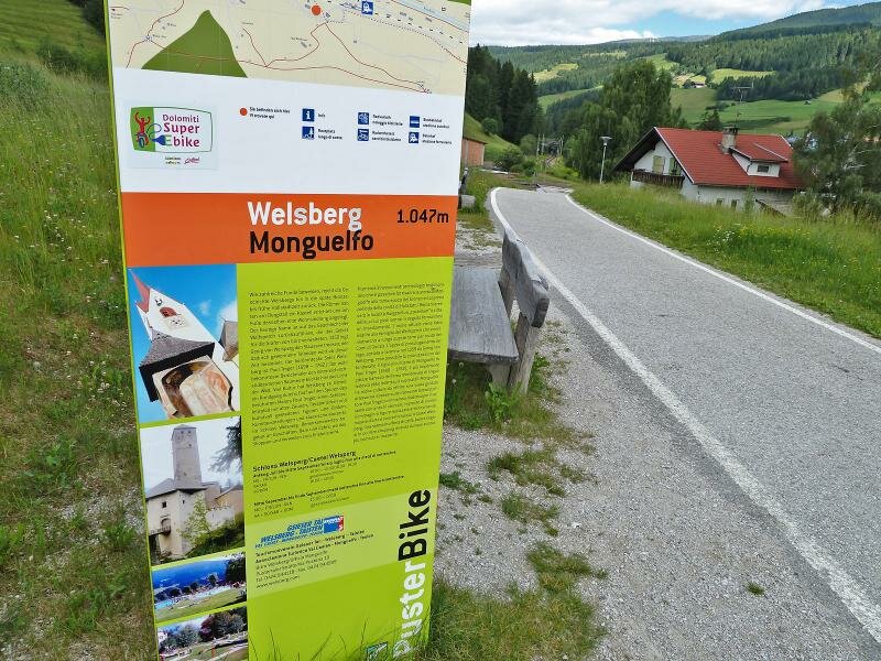
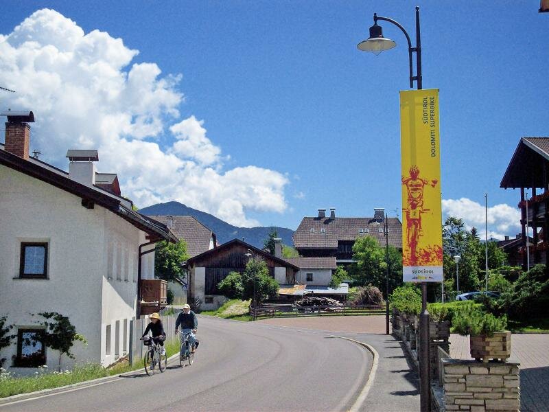
Leave the cemetery behind you and tackle the short but steep descent before the cycle path branches off on the right. In this section it runs along a well-maintained gravel road following the southern bank of Lake Valdaora. Then it proceeds through the forest towards Monguelfo. Having circumnavigated the village, the path takes us to the entrance to the Val Braies which is famous for Lake Braies and the Braies Dolomites, and then to the village of Villabassa.
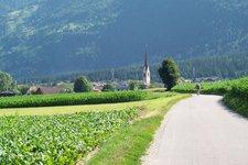
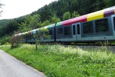
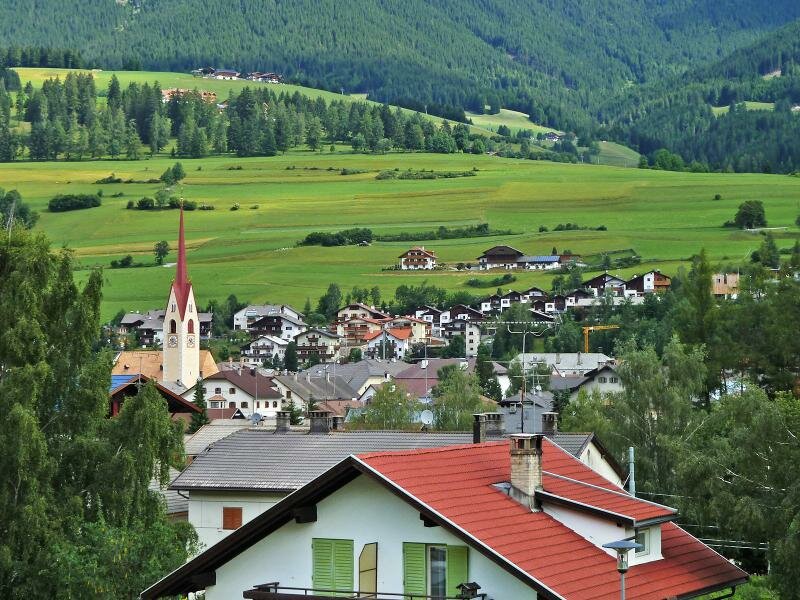
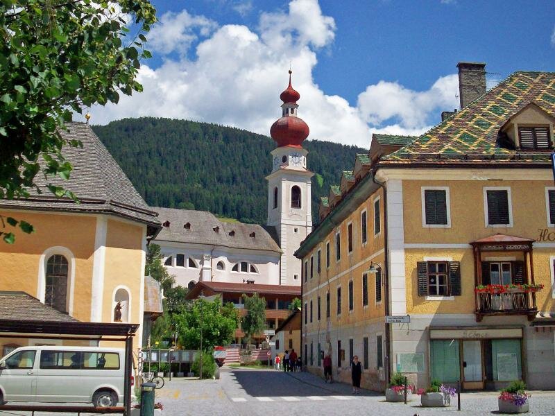
There, take Via Emma through the centre and follow paths through verdant meadows and fields to Dobbiaco. Cycle past the train station outside the village centre and return onto field paths leading to San Candido.
Please note: San Candido is connected to the cycle paths to Sesto and Lienz in East Tyrol. The latter is known as Drava cycle route and proceeds to the region of Carinzia and to Slovenia. On our return you can either take the regional train (limited designated areas for bikes) or the Bike Shuttle service.
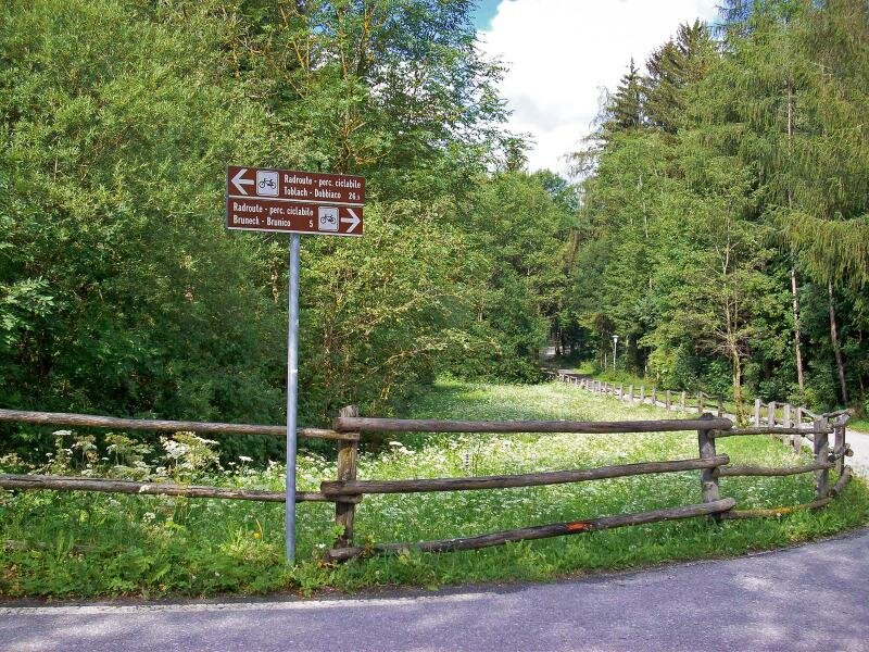
Connections to other cycle routes:
- Drava Cycle Path (San Candido towards Lienz)
- Sesto Cycle Path (San Candido towards Sesto)
- Pusterbike Cycle Path (continuation, Brunico towards Fortezza and Bressanone)
- Pusterbike Cycle Path (continuation, Brunico towards Campo Tures)
-
- Overall time:
- 02:45 h
-
- Total route length:
- 34,2 km
-
- Altitude:
- from 837 m to 1.217 m
-
- Altitude difference (uphill | downhill):
- +431 m | -89 m
-
- Route:
- San Candido (1,180 m asl)
-
- Signposts:
- Pustertal Radroute, Pusterbike
-
- Destination:
- Brunico (840 m asl)
-
- Track surface:
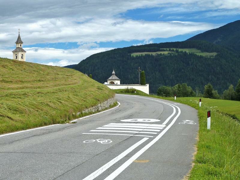
- mostly asphalted cycle path, sections with gravel surface, farm roads and byroads
-
- Recommended time of year:
- Jan Feb Mar Apr May Jun Jul Aug Sep Oct Nov Dec
-
- Download GPX track:
- Pusterbike Cycle Path from Brunico to San Candido