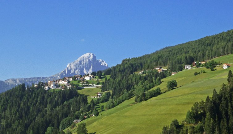
Rina (1,450 m a.s.l.) is a typical rural village at the foot of Col dla Vedla, Sasso Putia and Passo delle Erbe
Image gallery: Rina

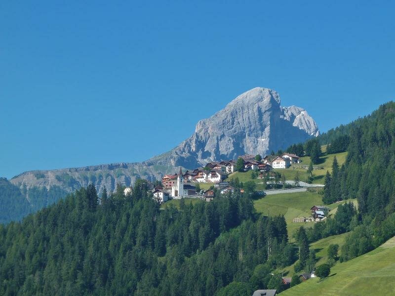
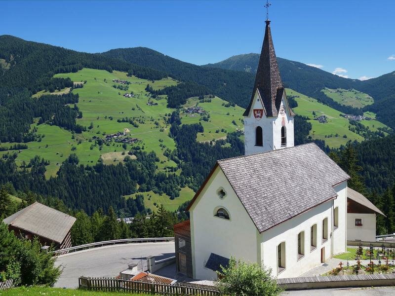
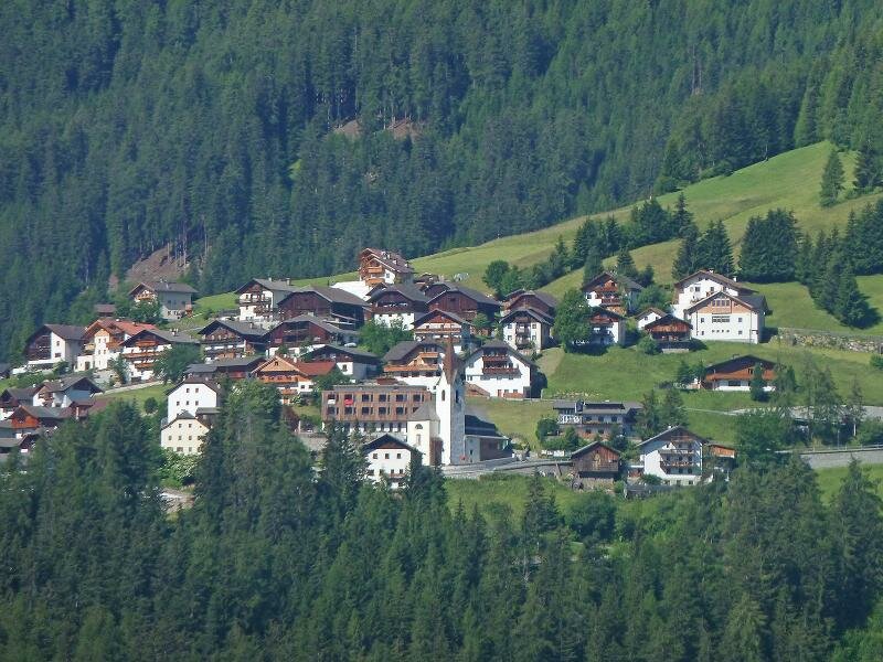
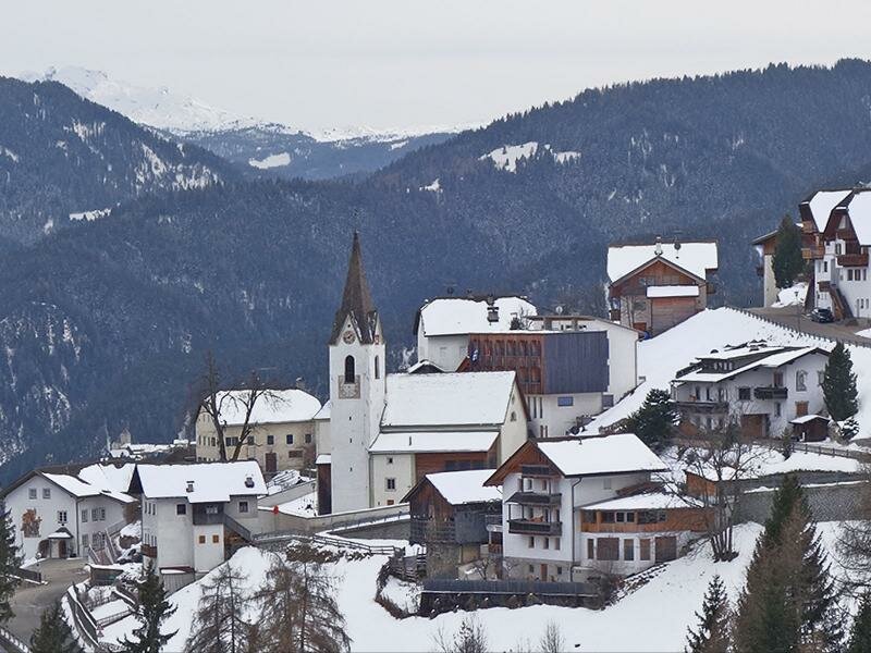
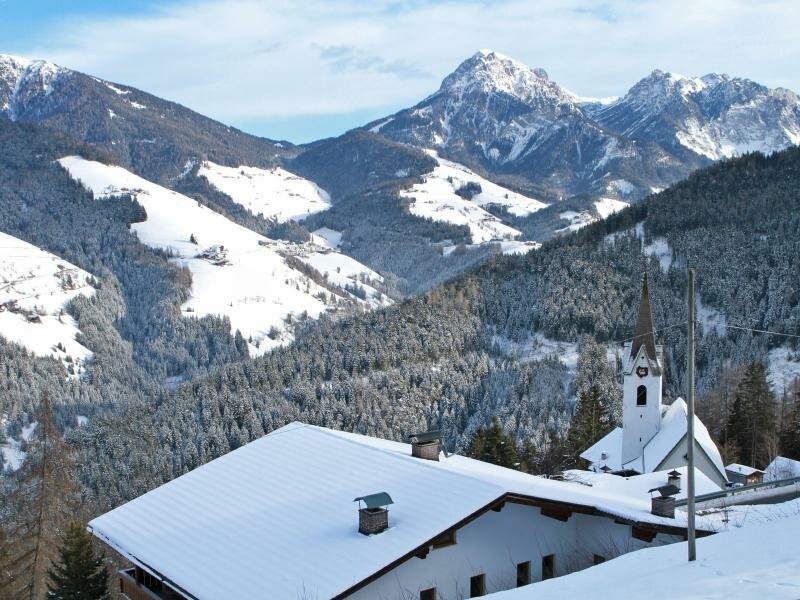
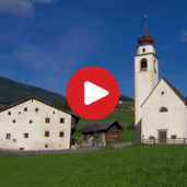
Rina extends on the steep but sunny slopes of the Col dla Vedla, west of the Val Badia. This rural village is only three kilometres from Longega and has about 500 inhabitants. Rina was an independent municipality until the 1920s when it was aggregated to the municipality of Marebbe. This locality represents the typical structure of a mountain village. In fact, the most important buildings rise around the church.
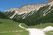
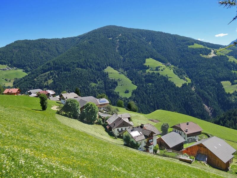
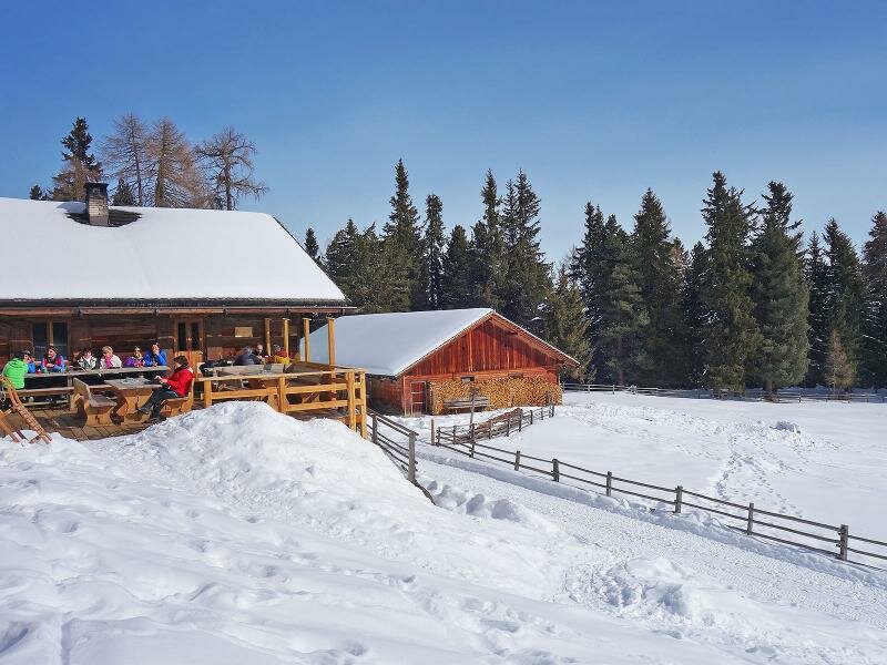
Antermoia can be visited by walking along path no. 20. Other wonderful hiking destinations are the malghe Munt de Rina and Welschellener from where the Anton Schwingshackl path (Anton Schwingshackl Weg) starts. In Rina nature is still unspoilt and thus perfect for relaxing moments.
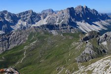
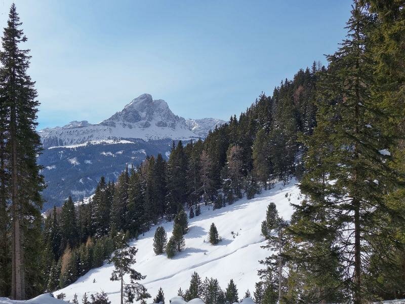
Tip: we recommend undertaking a hike to the nearby Passo delle Erbe from where you can enjoy stunning views of the Sass de Putia.