The 2,483 m high local mountain of Perca offers a wonderful view far beyond the Val Pusteria valley
Image gallery: Mountain tour to the Montone
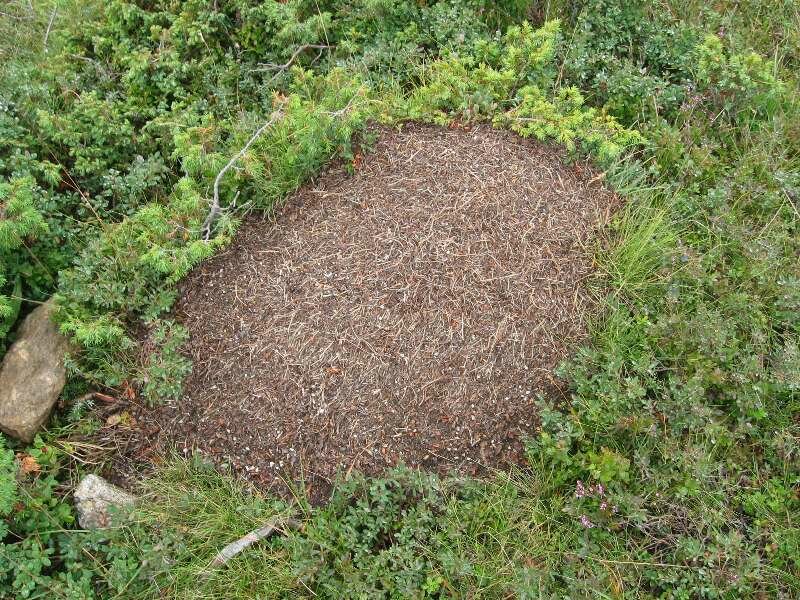
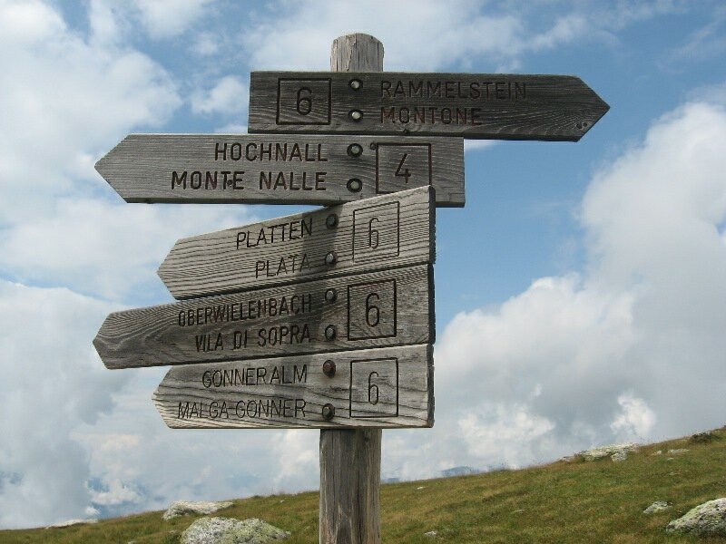
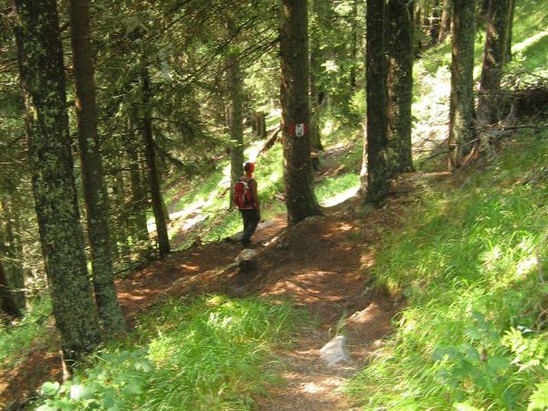
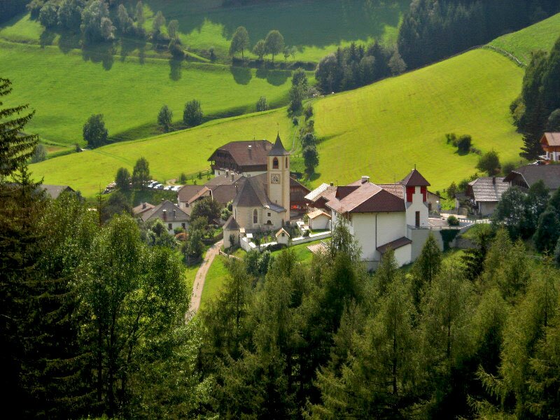
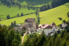
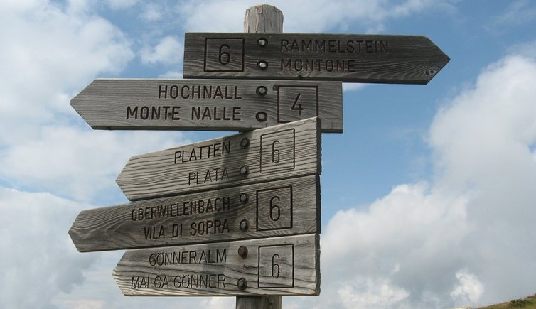
The starting point of this mountain tour to the local mountain of Perca is located near the bridge after a sharp right bend behind the church of Vila di Sopra (1,350 m a.s.l.). The hamlet is accessible via a mountain road from Perca (left turn). At the parking space we follow a wide forest path, the signpost indicates 3.5 hours of walking time. Hiking through the green Valle di Vila valley we pass a barrier and turn into the narrow trail no. 6 on the right leading us along the course of the Rio Bärenbach brook through the forest. Some sections are quite steep and slippery.
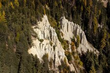
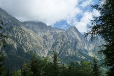
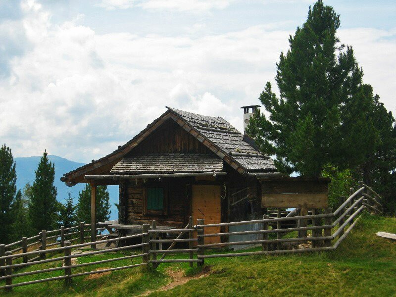
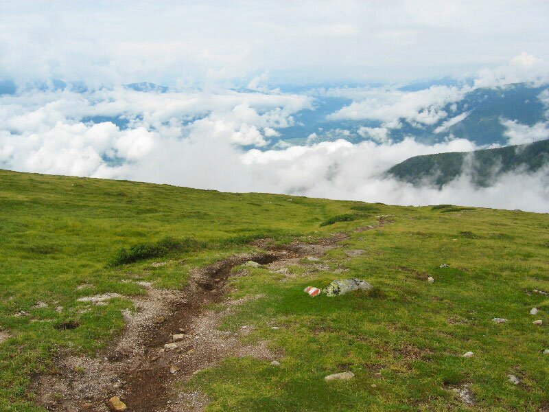
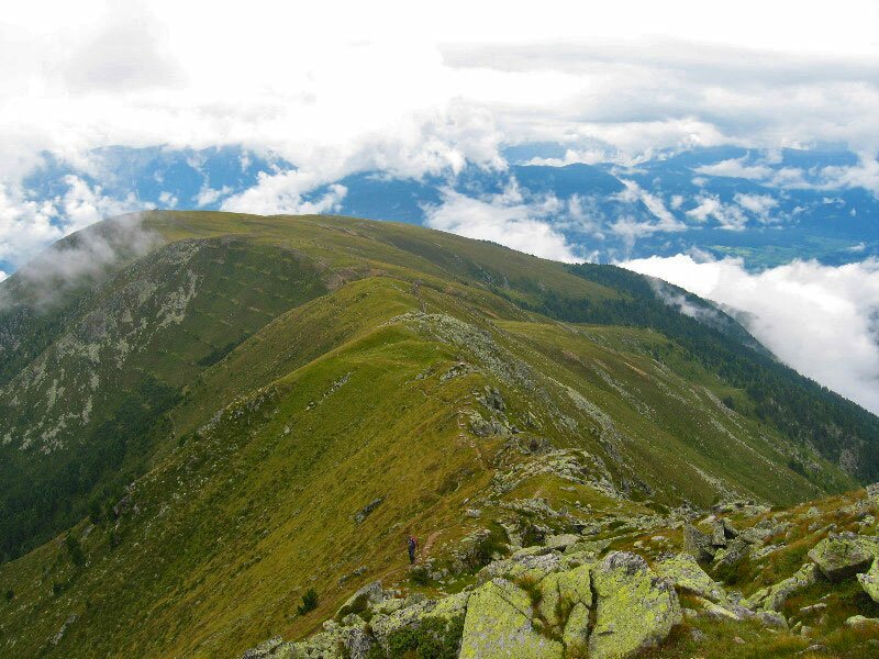
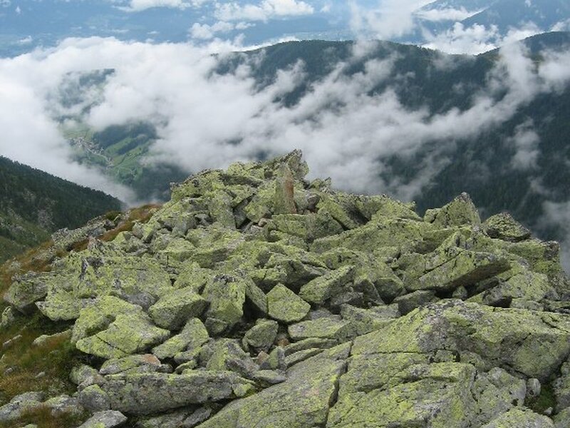
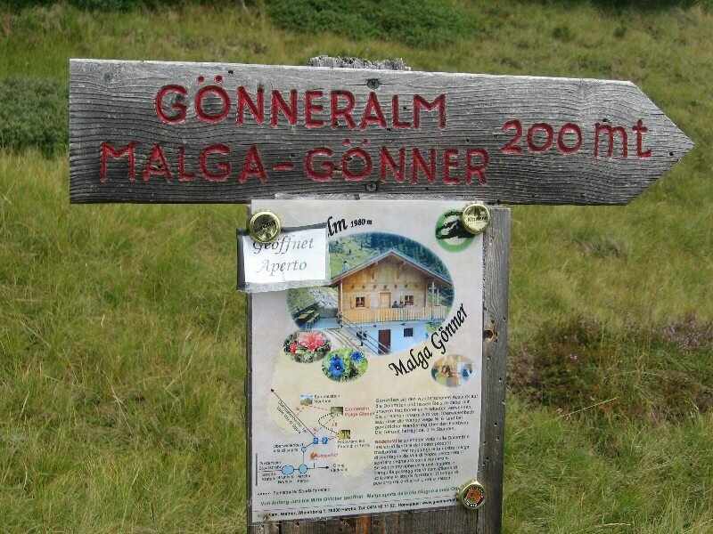
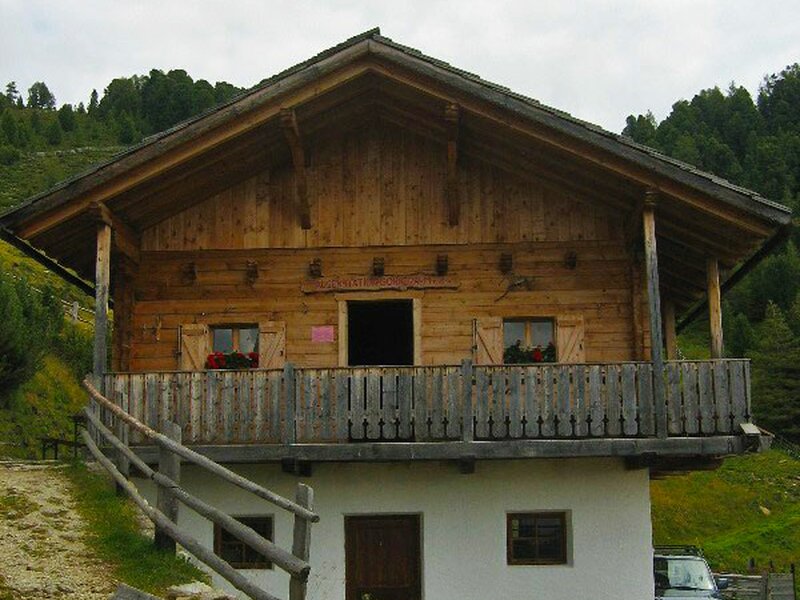
We continue our hike on the Grentesteig, a narrow trail across the "Peintner Wiesele" meadow near the Gönneralm Mountain Hut, towards Mount Montone (Rammelstein) and reach the timber line. The view on the Val Pusteria valley and the surrounding peaks would be spectacular, but at the time of our hike some clouds block the view. The path proceeds across alpine meadows and mountain pastures past the Loch Lacke pond and then to the right - the trail on the left proceeds to Mt. Monte Nalle, the neighbouring mountain of Mt. Montone. After a flat section the ascent starts and leads us through a rocky landscape towards the summit - sometimes we even use our hands to overcome the rocks.
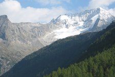
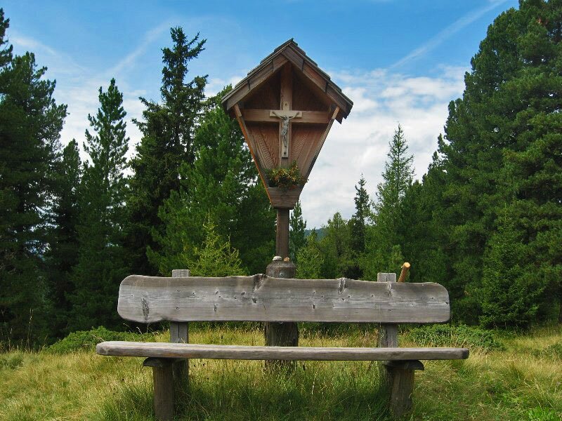
We reach the summit cross at 2,483 m a.s.l. in less than 3 hours and get a glimpse of Lake Anterselva on the opposite side of the valley. In case of fine weather the panoramic view includes gigantic mountains such as the Cima di Campo, Mt. Grossglockner, the "King of the Eastern Alps" in East Tyrol, the Monte Cristallo and "King Ortles". For the way back we choose the same route and stop at the Gönneralm Mountain Hut. Alternative path: descent on the Grentesteig path towards the Grentealm Mountain Hut (2,002 m a.s.l.) and further on to the village of Anterselva di Sotto.
Please note: nice and not too difficult mountain tour with beautiful view on the Val Pusteria valley and the peaks of the Vedrette di Ries-Aurina Nature Park. Sure-footedness is necessary!
Author: BS
-
- Starting point:
- Vila di Sopra (Perca)
-
- Overall time:
- 05:00 h
-
- Total route length:
- 12,3 km
-
- Altitude:
- from 1.432 m to 2.483 m
-
- Altitude difference:
- +1051 m | -1051 m
-
- Route:
- Vila di Sopra - Valle di Vila valley - "Peintner Wiesele" meadow - Mt. Montone (summit) - Gönneralm mountain hut - Vila di Sopra
-
- Signposts:
- no. 6, "Grentesteig"
-
- Destination:
- Montone
-
- Resting points:
- Gönneralm mountain hut
-
- Recommended time of year:
- Jan Feb Mar Apr May Jun Jul Aug Sep Oct Nov Dec
-
- Download GPX track:
- Mountain tour to the Montone
If you want to do this hike, we suggest you to check the weather and trail conditions in advance and on site before setting out.