This rewarding summit tour offers a fantastic view on the Vedrette di Ries mountain range high above the valley basin of Brunico
Image gallery: Hike to the Monte Bel Colle
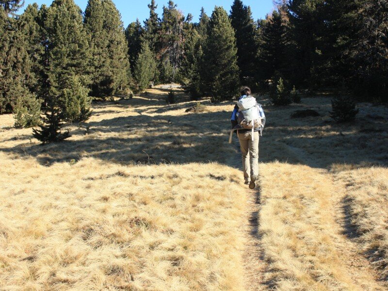
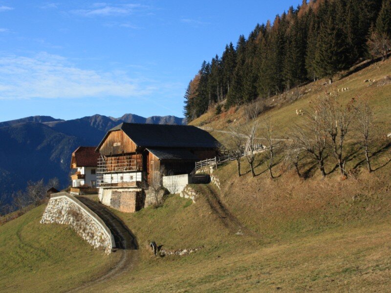
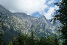
We reach the hamlet of Montassilone (Tesselberg) above the valley basin of Brunico by car via Perca (also accessible via Gais in the Valle di Tures valley). 1.5 km before the village border there's a small inlet on the left side of the road. At this point we start our hike to the Monte Bel Colle (Schönbichl, literally "Beautiful Hill") in the Vedrette di Ries-Aurina Nature Park. We follow the signpost "Schönbichl" on the path no. 7B leading us uphill through a dense forest. The trail crosses the road several times.
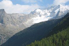
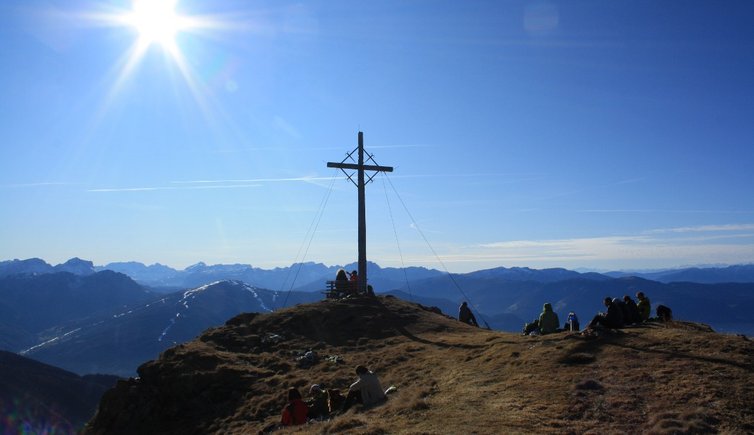
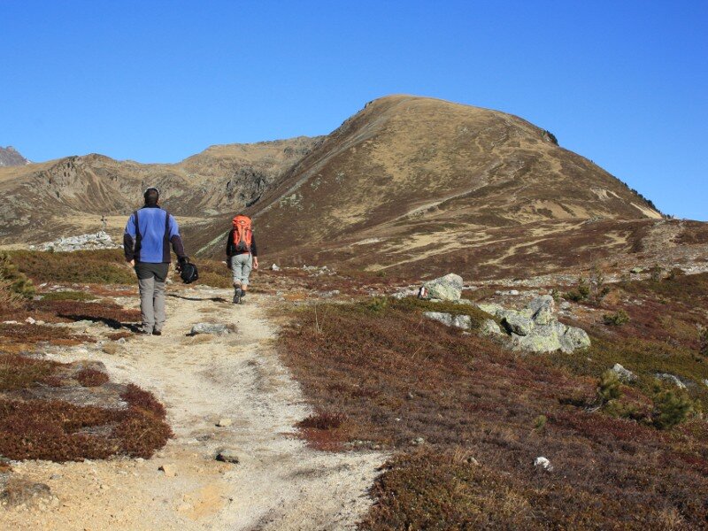
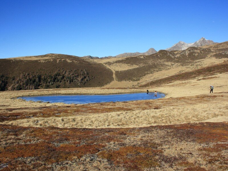
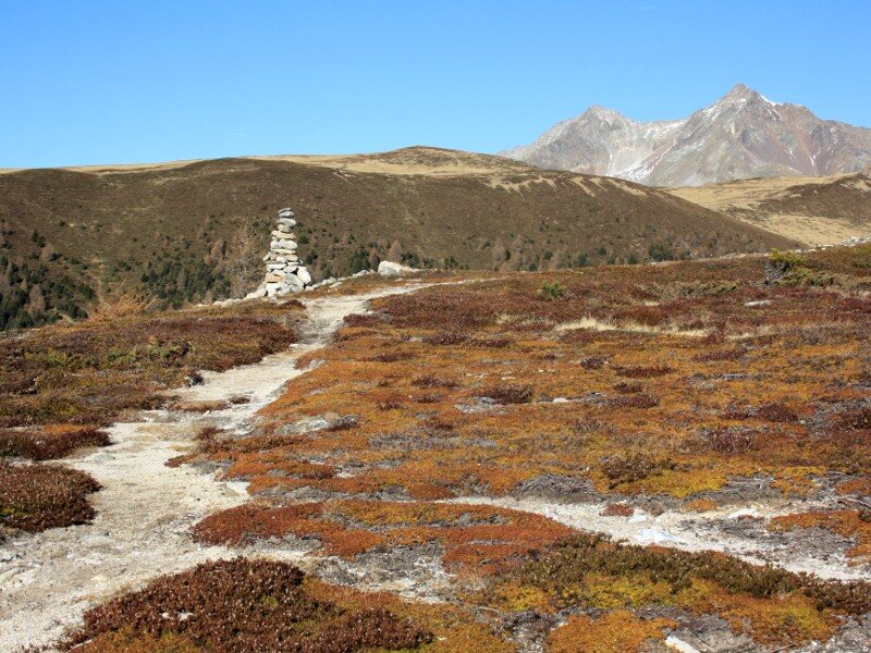
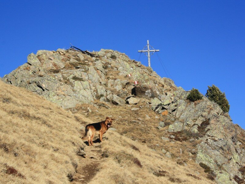
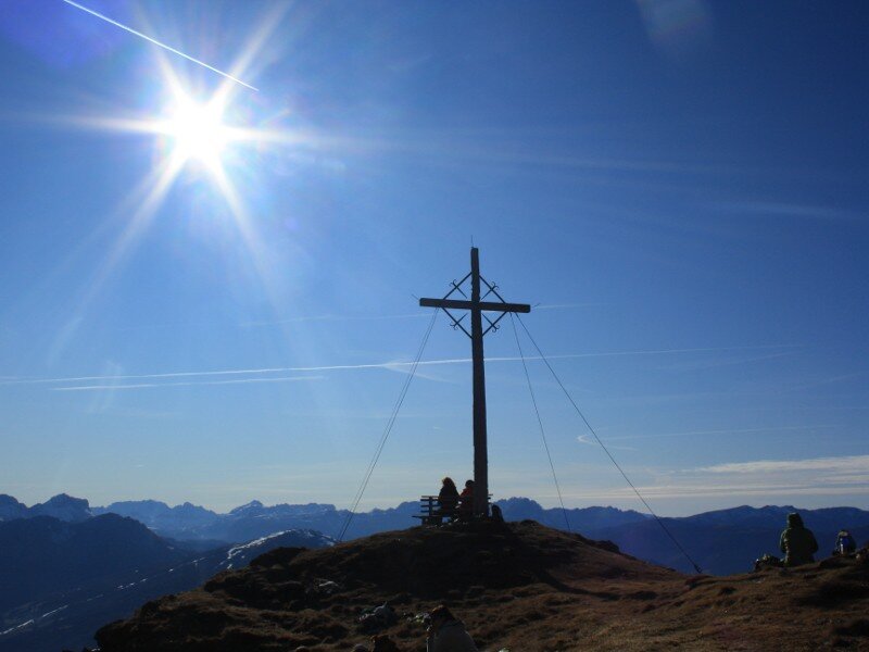
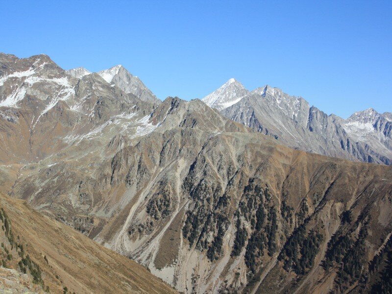
At the Hühnerspiel clearing the forest thins out and offers a beautiful view on the surrounding peaks such as the glaciers of the Zillertal Alps on the left and the western side of the Mt. Montone on the right. The rather flat area of Hühnerspiel merges into the ridge of the Monte Bel Colle. A well-maintained path leads us up to the highest point at 2,450 m a.s.l. The panoramic view is simply breathtaking: the Dolomites, the Zillertal Alps and the Vedrette di Ries mountain range with Mt. Collalto tower into the sky. We couldn't imagine a more beautiful November day!
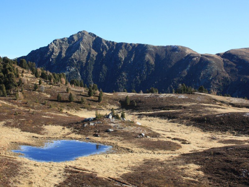
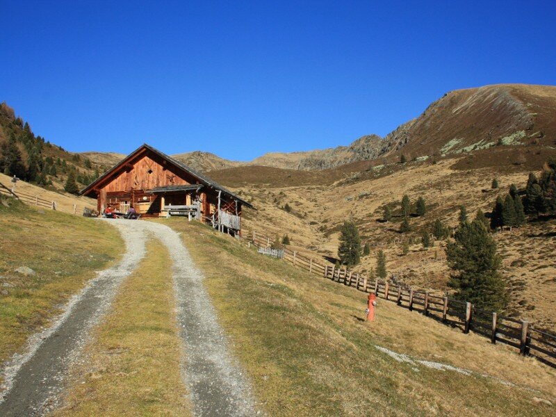
After descending the summit slope we turn into the narrow trail no. 7 towards the Malga Montassilone mountain hut (Tesselberger Alm). It branches off on the right and leads straight to the rest point which is open during summer months. Then a wide and steep forest path proceeds to the church of Montassilone following the course of the Rio Montassilone brook. The last 1.4 kilometres back to our parking space we follow the asphalt road.
Please note: the route can also be walked in the opposite direction, but the ascent on the forest path is really steep. If you would like to extend the hike, you can climb the 2,438 m high Cima Quaira mountain.
Author: BS
-
- Starting point:
- Montassilone (1.5 km before the village border)
-
- Overall time:
- 05:00 h
-
- Total route length:
- 12,3 km
-
- Altitude:
- from 1.462 m to 2.450 m
-
- Altitude difference:
- +1016 m | -1016 m
-
- Route:
- Montassilone - Hühnerspiel - Monte Bel Colle (summit) - Malga Montassilone mountain hut - Montassilone
-
- Signposts:
- 7B, 7, 3A
-
- Destination:
- Monte Bel Colle
-
- Resting points:
- Malga Montassilone mountain hut
-
- Recommended time of year:
- Jan Feb Mar Apr May Jun Jul Aug Sep Oct Nov Dec
-
- Download GPX track:
- Hike to the Monte Bel Colle
If you want to do this hike, we suggest you to check the weather and trail conditions in advance and on site before setting out.