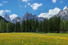
The traverse of two summits in the Val Pusteria Uplands follows a circular trail with wonderful panoramic views
Image gallery: Plata - Monte Sommo - Cima Plata circular hike

We drive from Falzes along the Val Pusteria Sun Road towards the hamlet of Plata (Platten). Slightly above the Lechnerhof farm there's a parking space where the trail to the Monte Sommo starts at a barrier. We follow the forest path for the first metres and branch off to the right. Our hike continues at the slope towards the forest and leads steadily uphill - sometimes the view opens up on the hamlets on the sun terrace of the Val Pusteria valley, including Falzes.
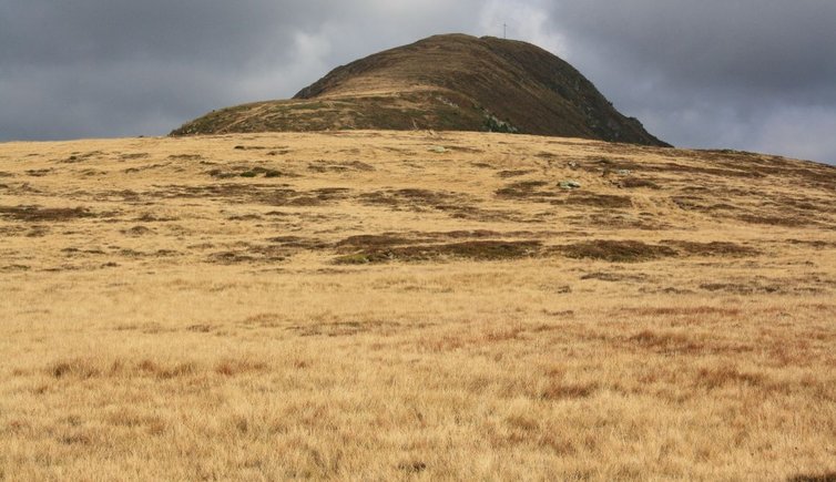
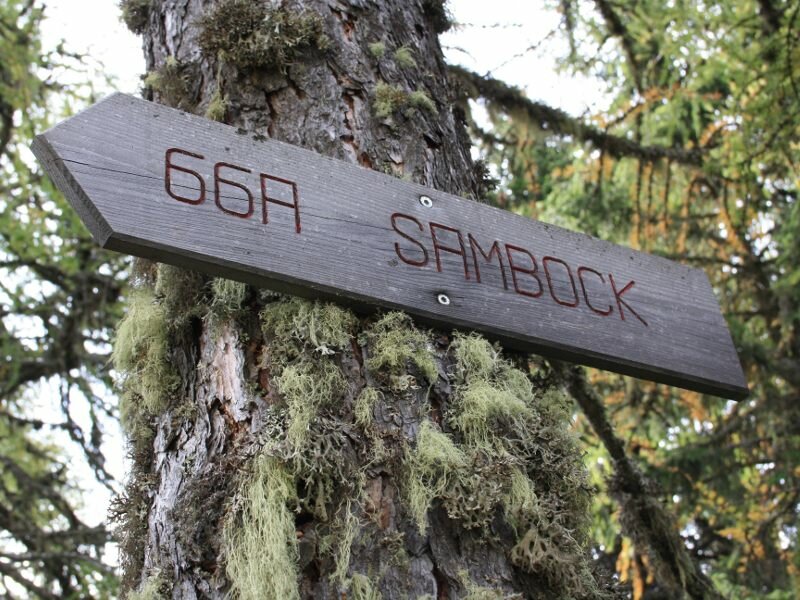
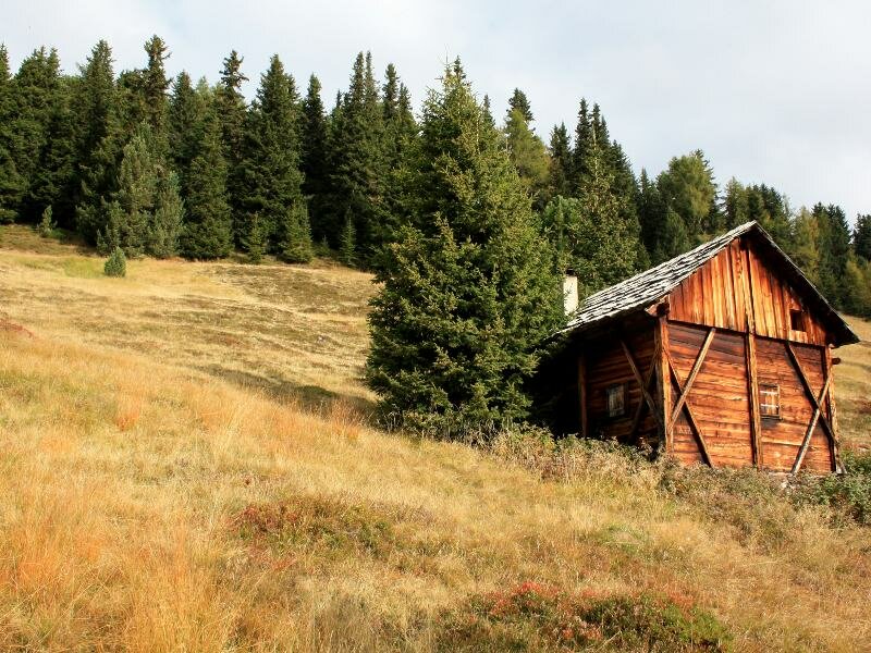
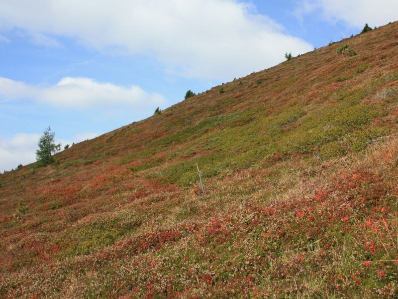
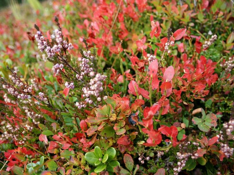
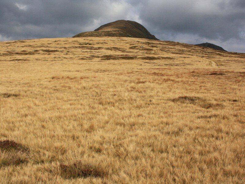
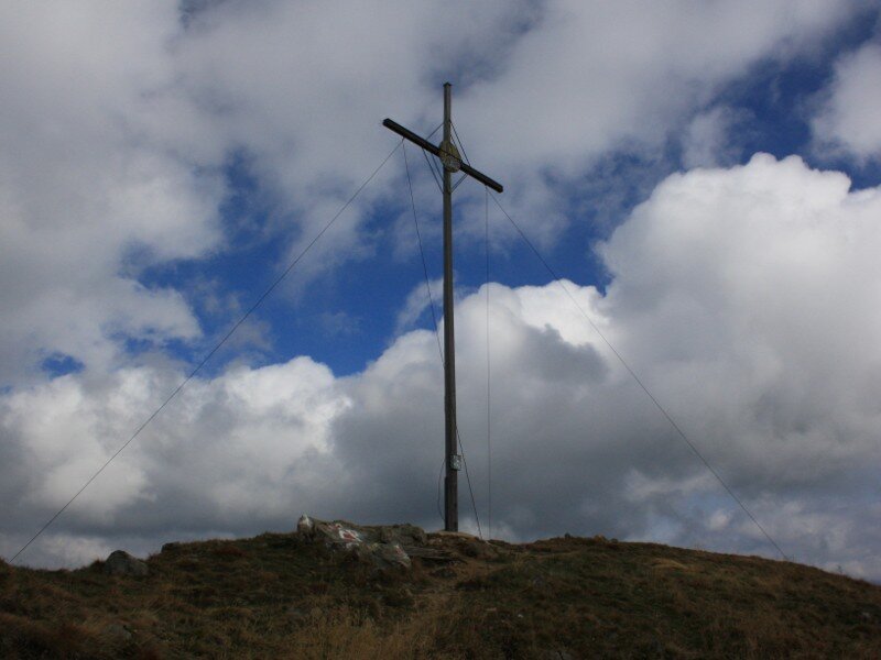
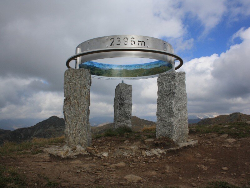
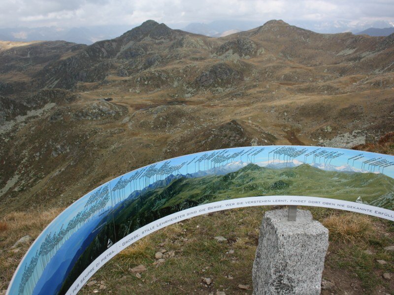
On a small meadow the path gets narrower and enters the forest towards a hunting lodge (1,962 m a.s.l.). The surrounding landscape shines in bright autumn colours. We overcome the next 200 m of altitude difference on a steep meadow path. Blueberries are growing by the wayside, and the valley basin of Brunico lies at our feet. Soon afterwards we reach the so-called "Platte" (2,175 m a.s.l.), a wide highland just beneath Mount Sommo (Sambock) - its summit offers an amazing view and a viewing platform.
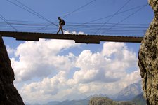
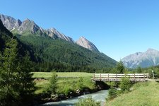
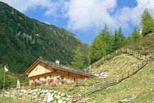
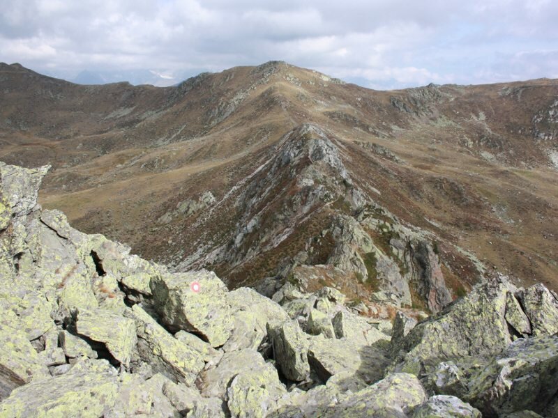
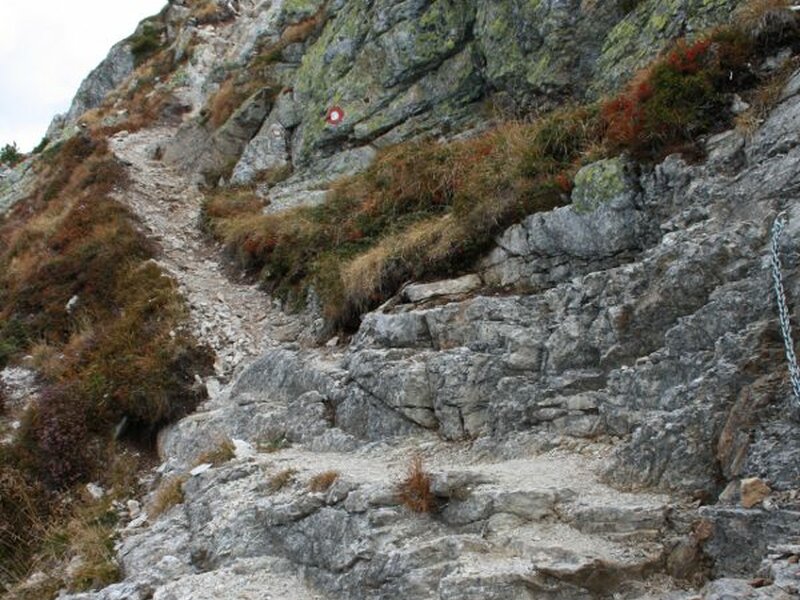
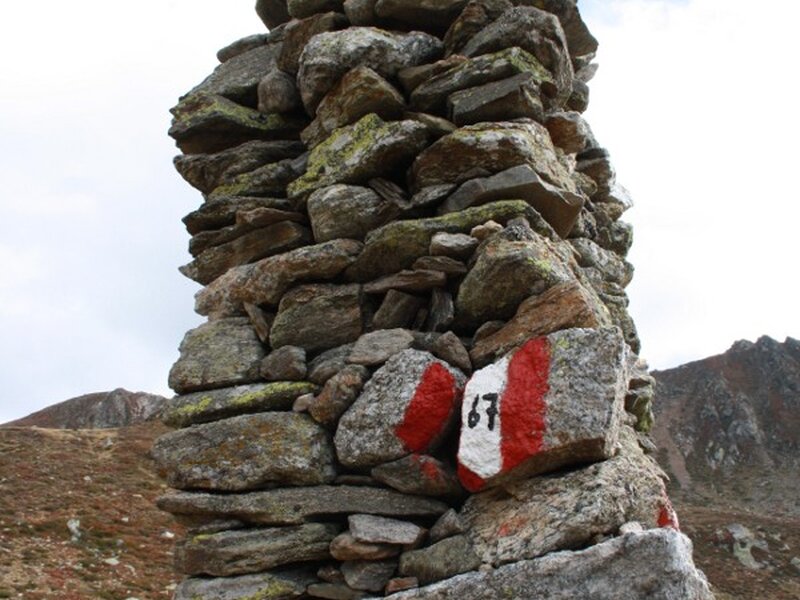
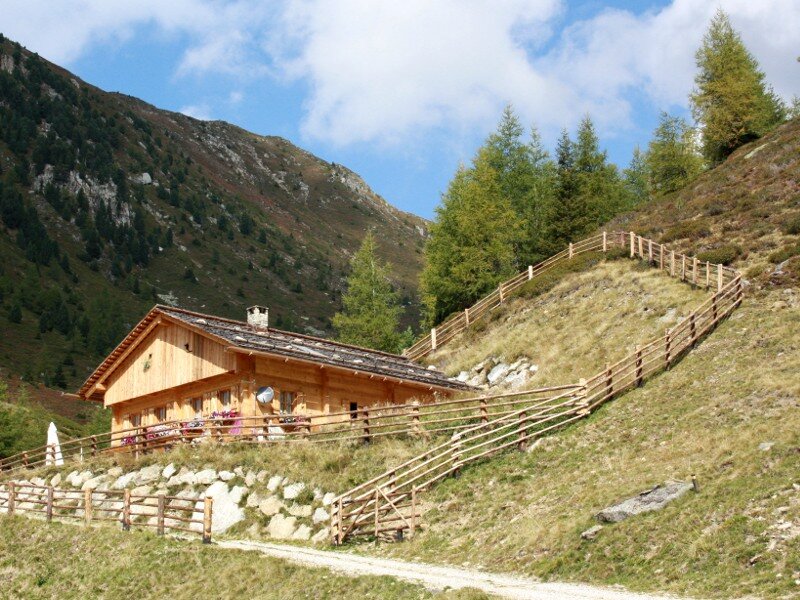
Afterwards we hike towards north following the signpost "Alta Via di Fundres", a famous high-altitude trail (Pfunderer Höhenweg). The narrow path snakes its way along the ridge and is partly secured by ropes (sometimes we use our hands to overcome the rocks). Sure-footedness and a head for heights are necessary! Via a 2,365 m high saddle we finally reach the highest point of our circular hike, Mount Cima Plata (Plattnerspitze, 2,428 m a.s.l.). Between the peaks of the Cima Plata and the Cima Bärental we follow the path no. 67 towards the Laghi di Plata lakes (Plattner Seen). After a well-deserved stop at the Malga di Plata mountain hut (1,942 m a.s.l.) we follow the wide forest path to a junction and further on back into the valley.
Please note: the ascent to Mount Sommo is rather easy, the traverse of the ridge between Mount Sommo and Mt. Cima Plata is recommended only for experienced hikers. The traverse of the two peaks can be extended by climbing a further peak, the 2,450 m high Cima Bärental. The mountain tour can be done from late spring to autumn!
Author: BS
-
- Starting point:
- Plata (Falzes)
-
- Overall time:
- 04:30 h
-
- Total route length:
- 10,8 km
-
- Altitude:
- from 1.600 m to 2.428 m
-
- Altitude difference:
- +879 m | -879 m
-
- Route:
- Lechnerhof - hunting lodge - Mt. Monte Sommo - Mt. Cima Plata - Laghi di Plata lakes - Malga di Plata mountain hut - Lechnerhof
-
- Signposts:
- no. 66A, Alta Via di Fundres (white and red marker)
-
- Resting points:
- Malga di Plata mountain hut
-
- Recommended time of year:
- Jan Feb Mar Apr May Jun Jul Aug Sep Oct Nov Dec
-
- Download GPX track:
- Plata - Monte Sommo - Cima Plata circular hike
If you want to do this hike, we suggest you to check the weather and trail conditions in advance and on site before setting out.