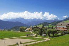
This hike through the Winnebachtal valley takes us to the Lago di Pausa hut above Terento and to the Cima di Terento
Image gallery: Mountain tour to the Rif. Lago di Pausa and the Cima di Terento


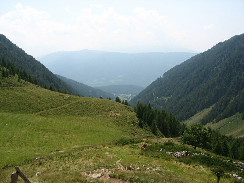
Today's hike leads us to into the Fundres mountains. Early in the morning we drive to Terento via Vandoies. We cross the village and in a narrow right bend near the bridge we turn left where the Lago di Pausa hut (Tiefrastenhütte in German) is already marked on a signpost. We follow this road for some hundred metres and park our car at the car park which is also our starting point. Even if it is only 06:30 am, we are still not the only hikers on their way as this area is famous among mountain lovers.
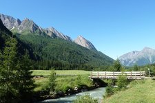
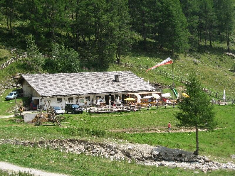
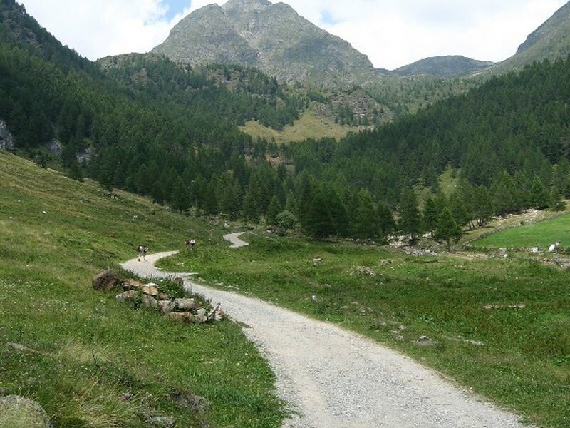
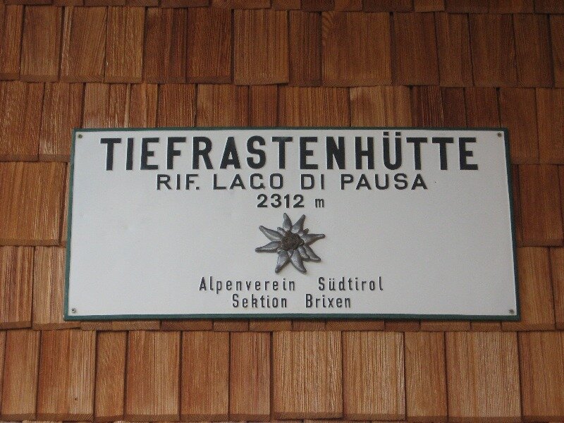
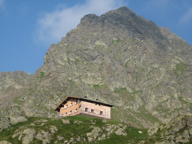
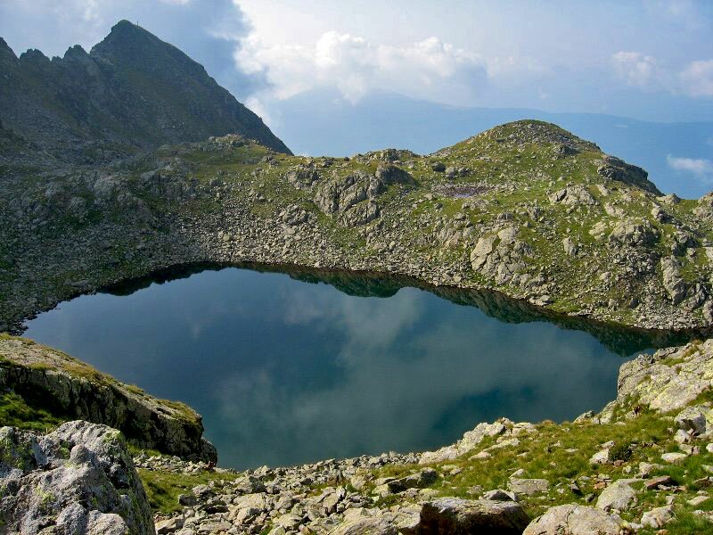
Initially we follow a large forest path along the banks of the Winnebach stream and after a 20-minute walk we reach malga Astnerberg hut at 1,641 m a.s.l. Path no. 23 winds along some hairpin bends before crossing a larch forest where it steepens and becomes more demanding. Right before the pastures, a narrow path marked with a red arrow branches off to the left. We take this path towards the waterfall and the Lago di Pausa hut. We slowly approach the waterfall where the path flattens. After a short break at the small Lago di Pausa hut (2,026 m a.s.l.) we proceed above the large basin to our feet. We keep to the right and continue on the same path (this section coincides with the Pfunderer Höhenweg, a high-altitude trail) and arrive at the Lago di Pausa hut at 2,312 m a.s.l. and the eponymous lake via a steep ascent.
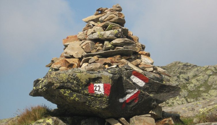
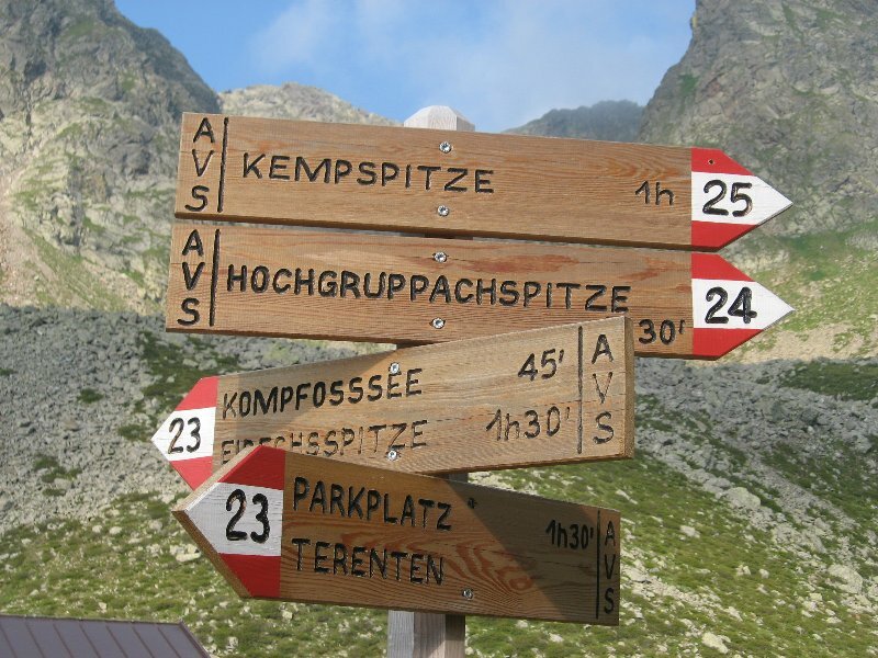
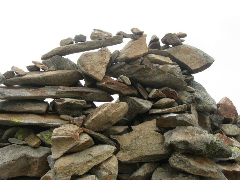
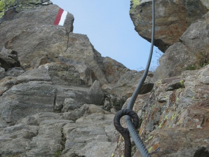
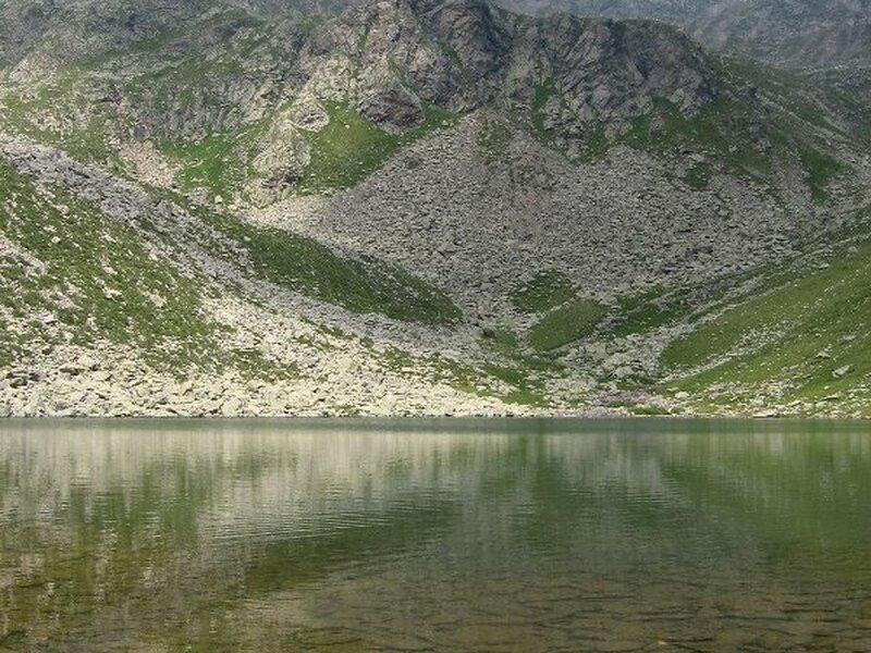
After having had breakfast for a second time we are ready to conquer Cima di Terento (2,738 m a.s.l.). We head towards north-west and climb a large ridge before traversing a scree diagonally near the Campofosso saddle. After a 45-minute walk we reach Campofosso lake (Kompfosssee). Above the lake path no. 22 to our destination branches off. A hilly section with rather difficult spots (secured with steel ropes) awaits us. Slightly before the peak we ascend some steps and hairpin bends on our way up to the summit cross of the Cima di Terento (Eidechsspitze) at 2,738 m a.s.l. and the highest point of our hike. On our way back to the valley we retrace our steps and have a break both at the Lago di Pausa hut and malga Astnerberg.
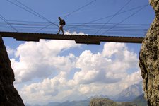
Please note: The hike to Monte Terento requires a good physical condition and some mountain experience, as some sections are exposed and steep! Trained hikers however won't encounter particular difficulties and some spots are secured with steel ropes. The path is relatively easy until the Lago di Pausa hut from where you can undertake excursions to Monte Pausa (2,704 m a.s.l.) and Monte Gruppo (2,809 m a.s.l.). The described itinerary is particularly recommended in the month of July when the alpine roses are in full blossom. In case of good weather, Monte Terento delights hikers with an exceptional view of the Val di Fundres, Terento and its surroundings.
Date of the hike: 1 July 2009
Last updated in: 2026
Author: BS
-
- Starting point:
- parking space Terento/Rif. Lago di Pausa mountain hut, Val Vena valley
-
- Overall time:
- 07:00 h
-
- Total route length:
- 16,8 km
-
- Altitude:
- from 1.412 m to 2.738 m
-
- Altitude difference (uphill | downhill):
- +1340 m | -1340 m
-
- Route:
- Terento - Astnerberg Mountain Hut - waterfall - Rif. Lago di Pausa mountain hut - Lago di Campofosso lake - Mt. Cima di Terento
-
- Signposts:
- 23, 22
-
- Resting points:
- Astnerberg Mountain Hut - Rif. Lago di Pausa mountain hut
-
- Recommended time of year:
- Jan Feb Mar Apr May Jun Jul Aug Sep Oct Nov Dec
-
- Download GPX track:
- Mountain tour to the Rif. Lago di Pausa and the Cima di Terento
If you want to undertake this hike, we recommend checking the weather and trail conditions in advance and on site before starting this hike!