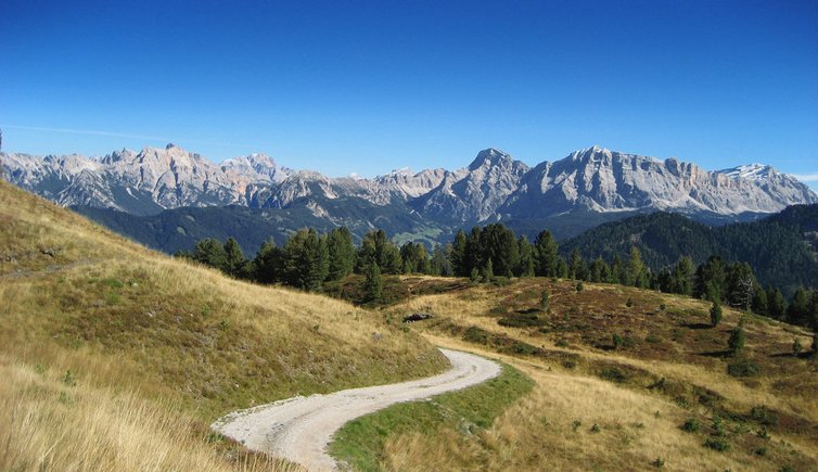
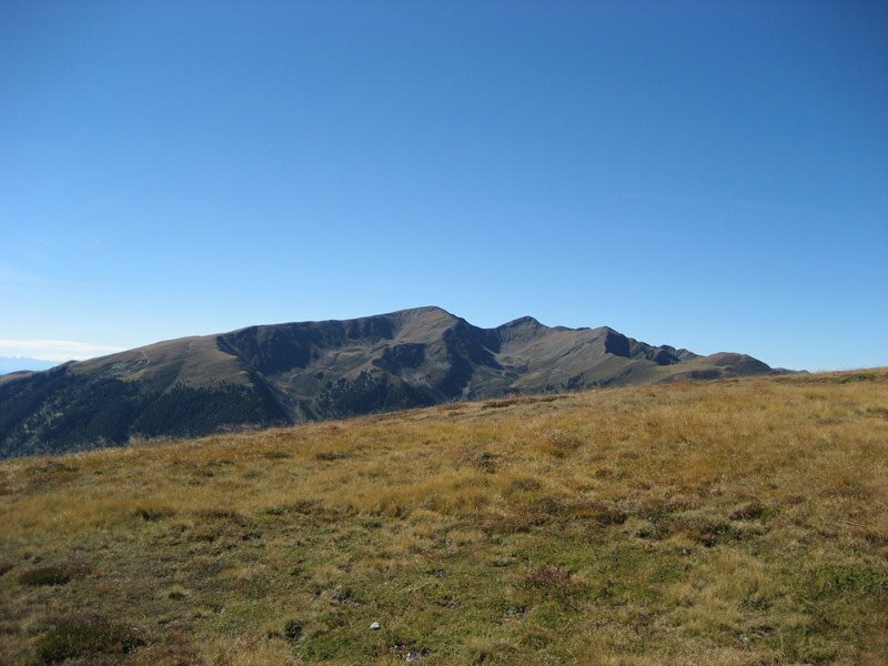
The Monte Muro in the shadow of the Sass de Putia delights hikers with stunning panoramic views, making it the perfect destination for a short autumn hike
Image gallery: Hike from Passo delle Erbe to the Monte Muro
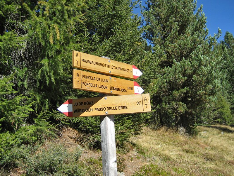
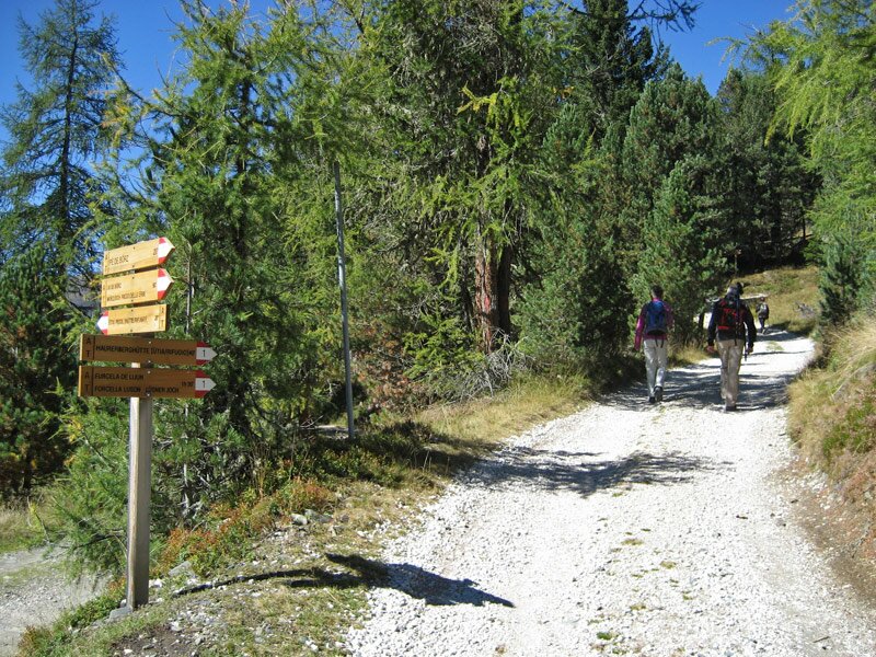
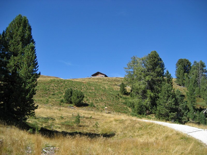
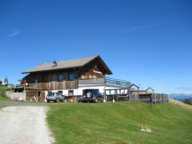

September has almost come to an end. On a sunny afternoon we undertake this unforgettable hike. At the car park "Pre de Börz" along the road to passo delle Erbe above Antermoia we follow signpost no. 1 to the mountain hut. This easy forest road leads uphill through the Swiss pine forest and the mountain pastures above the tree limit before ending at the Monte Muro hut at 2,130 m a.s.l.
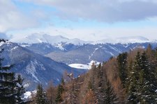
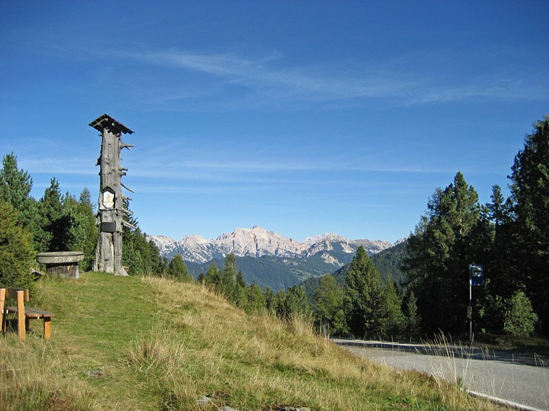
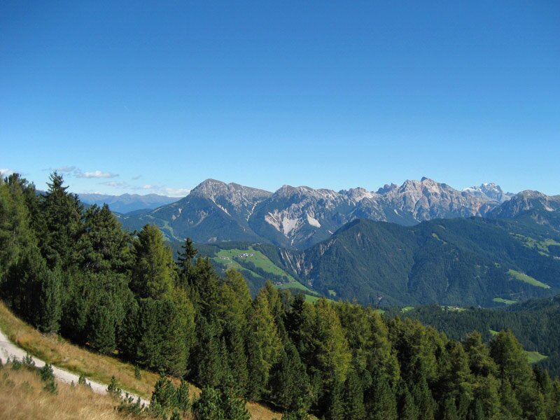
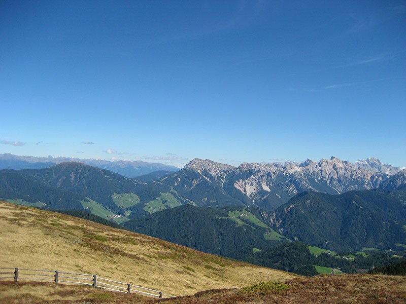
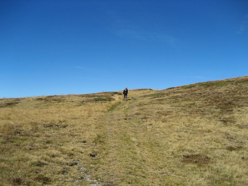
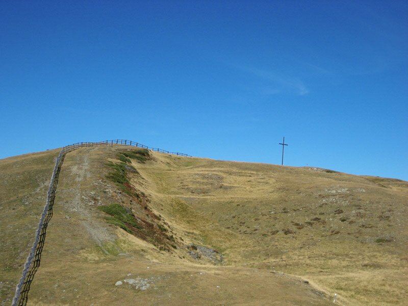
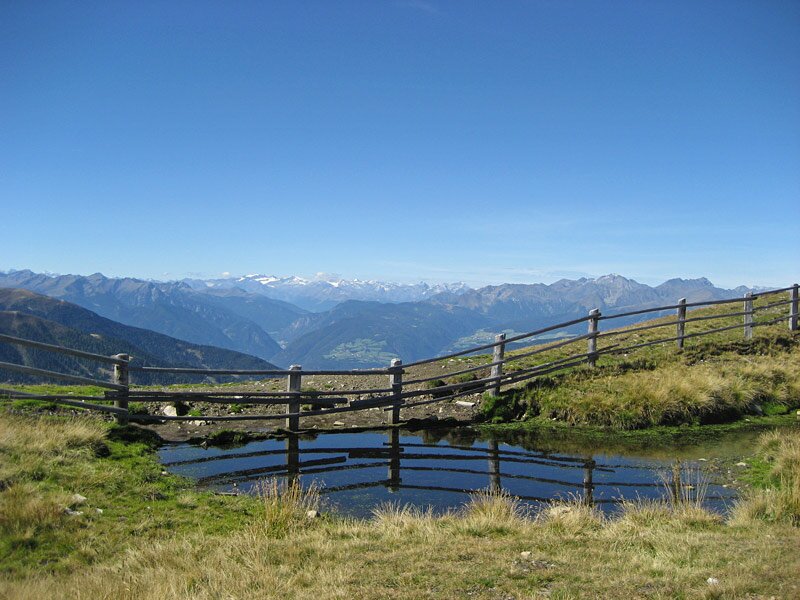
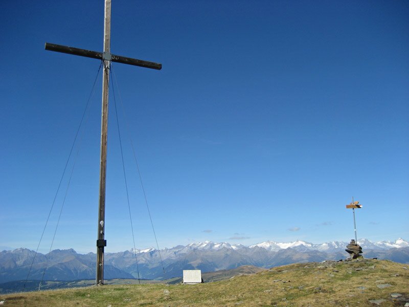
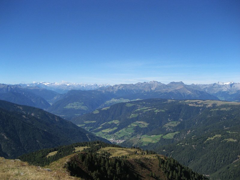
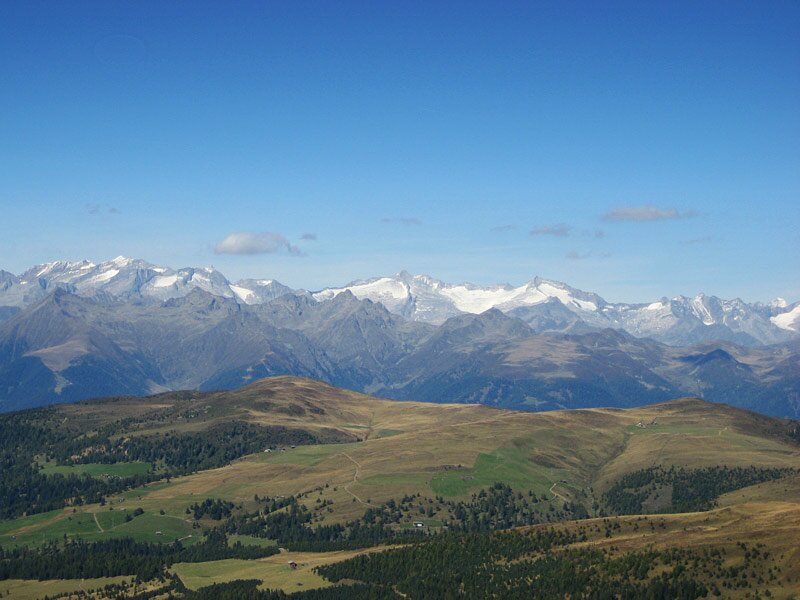
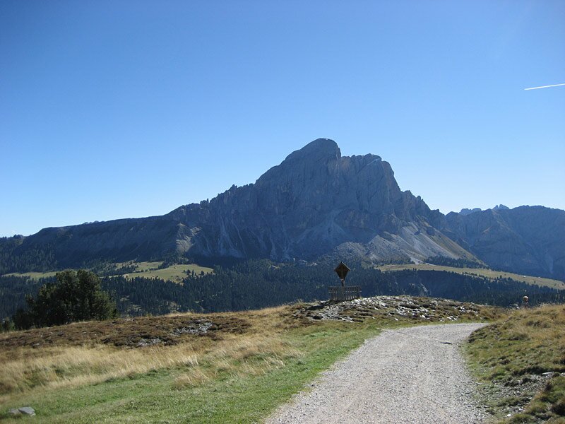
At the mountain hut we take a path leading across the meadows to passo d'Alfrei where we stop to admire the stunning view of the surrounding peaks: right in front of us we recognise the Plose, the peaks of the Odle di Eores, the Sass de Putia, the Fanes group and the Stubai and Zillertal Alps. The path proceeds until the summit cross on Monte Muro from where we can see the Fundres Mountains and the marvellous pastures of Luson and Rodengo.
Date of the hike: 20 September 2012
Last updated in: 2026
Author: AT
-
- Starting point:
- Pre de Börz (parking space between Antermoia and Passo delle Erbe)
-
- Overall time:
- 03:15 h
-
- Total route length:
- 9,7 km
-
- Altitude:
- from 1.862 m to 2.326 m
-
- Altitude difference (uphill | downhill):
- +469 m | -469 m
-
- Route:
- road to Passo delle Erbe - Monte Muro mountain hut - Passo d'Alfrei - Mt Muro
-
- Signposts:
- 1, 1A
-
- Destination:
- Monte Muro / Maurerberg
-
- Resting points:
- Maurerberg Hütte alpine hut
-
- Recommended time of year:
- Jan Feb Mar Apr May Jun Jul Aug Sep Oct Nov Dec
-
- Download GPX track:
- Hike from Passo delle Erbe to the Monte Muro
If you want to undertake this hike, we recommend you to check the weather and trail conditions in advance and on site before setting out.