The alpine pasture hike in the Val di Fundres takes us from the Hintereggerhof to Malga Gampiel in the Fundres mountains
Image gallery: Hike to the Gampiel mountain pasture
Today we undertake a hike in the Val di Fundres. We drive from the wonderful and verdant Val di Fundres to Dun, a small hamlet. In the vicinity of the impressive rock walls of Dun we leave the main road and turn right (signpost Gampiel Alm, Eggerseite). The road narrows and we park our car in a small car park along the road about 100 metres past the Hintereggerhof.
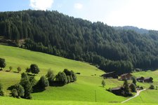
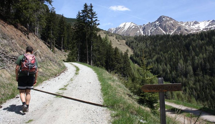
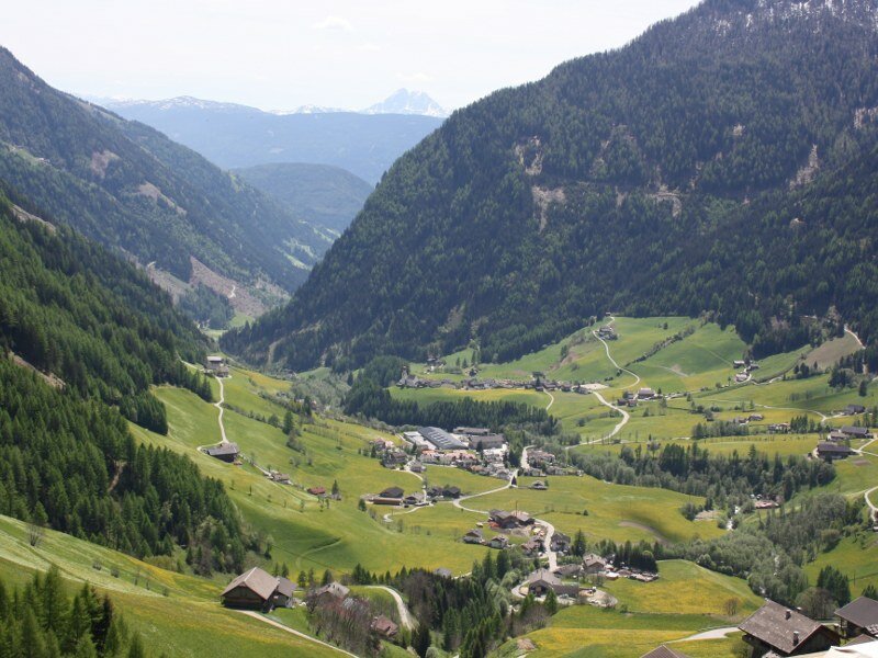
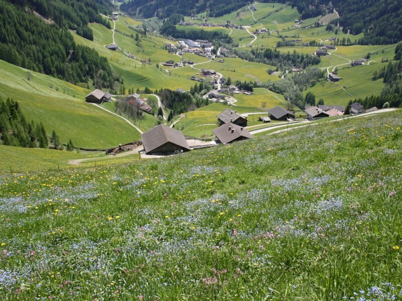
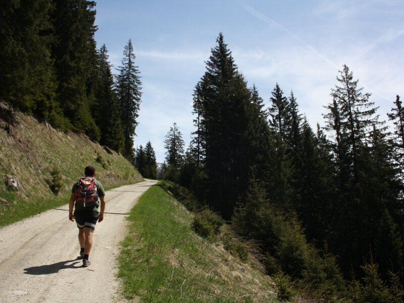
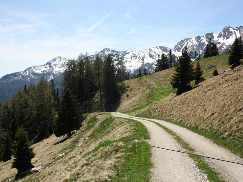
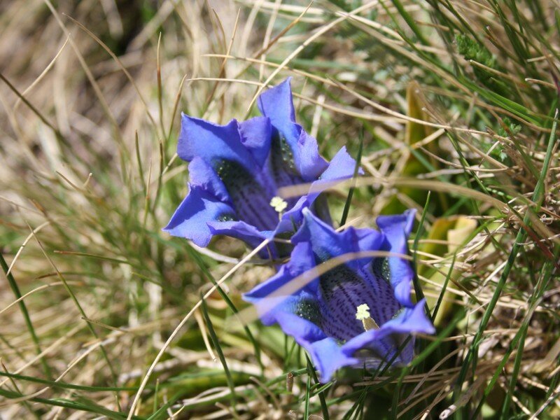
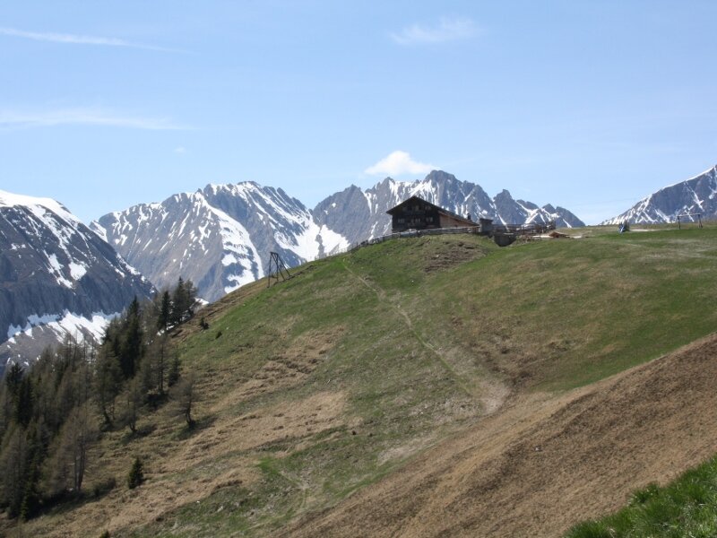
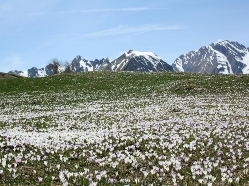
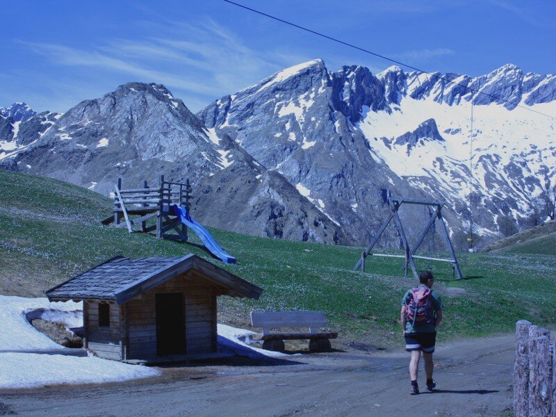
We take the forest path towards Malga Gampiel. The view of the wonderful village of Fundres is already impressive, even if we barely started our excursion. The numerous, colourful alpine flowers are evidence for the area's rich biodiversity. It is possible to shorten the hike by taking path no. 30 through the forest. However, we opt for the less demanding alternative which initially winds along a rather steep but well-maintained forest path. The view of the Fundres mountains including the still partially snow-covered Cima di Terento, Cima di Campolago and Monte Cuzzo is truly amazing.
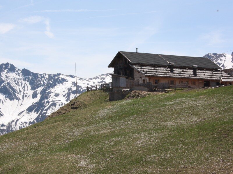
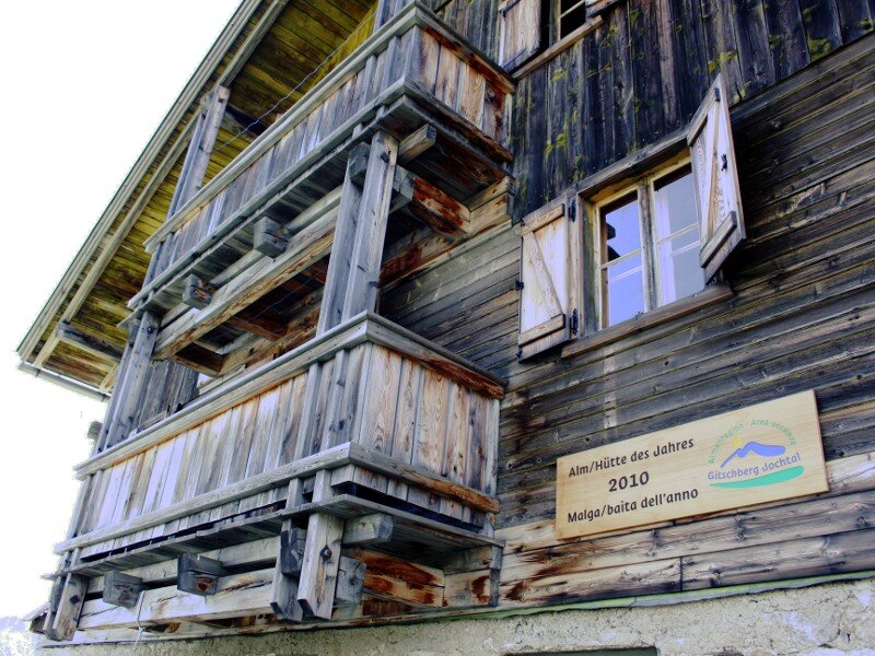
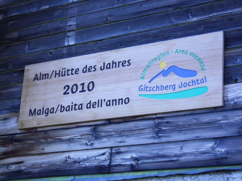
Malga Gampiel (2,045 m a.s.l.), our destination, is situated above the forest limit. This mountain hut was declared mountain hut of the year 2010 (baita dell'anno 2010). It is currently closed but will open for the summer season. In summer children can have fun at the small playground where they can live unforgettable adventures, whereas the adults enjoy the marvellous view while sipping a refreshing beer. We return to our starting point on the same path.
Please note: Malga Gampiel is part of the pastures hiking path which also includes Malga Eisbruggalm and the Rifugio Ponte di Ghiaccio (Edelrauthütte) at 2,545 m a.s.l.
Date of the hike: 11 May 2012
Last updated in: 2026
Author: BS
-
- Starting point:
- Hinteregger farm, Val di Fundres
-
- Overall time:
- 02:30 h
-
- Total route length:
- 6,6 km
-
- Altitude:
- from 1.518 m to 2.045 m
-
- Altitude difference (uphill | downhill):
- +526 m | -526 m
-
- Signposts:
- 30, Gampiel Alm
-
- Destination:
- Gampiel mountain hut
-
- Resting points:
- Gampiel mountain hut
-
- Recommended time of year:
- Jan Feb Mar Apr May Jun Jul Aug Sep Oct Nov Dec
-
- Download GPX track:
- Hike to the Gampiel mountain pasture
If you want to undertake this hike, we recommend checking the weather and trail conditions in advance and on site before starting this hike!