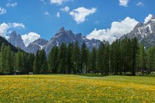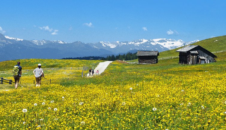
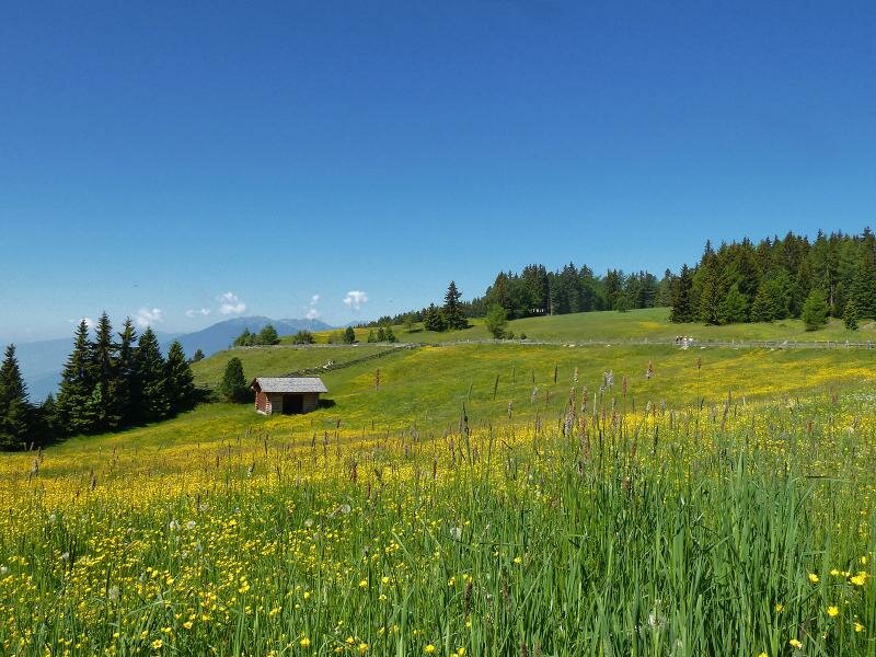
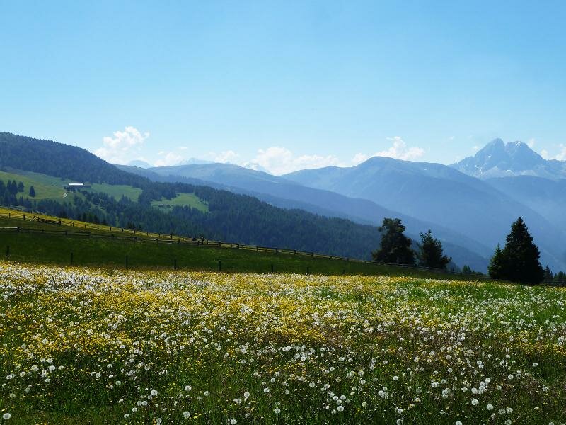
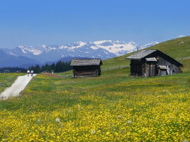
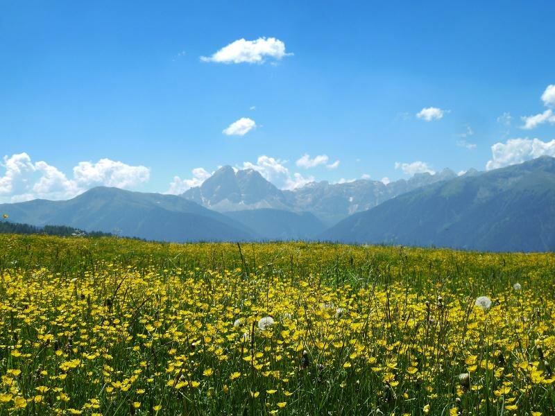
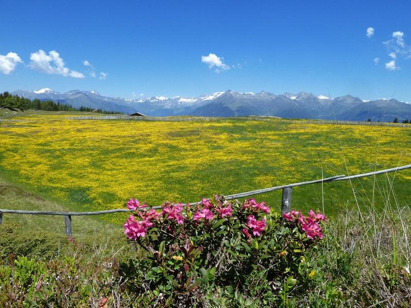
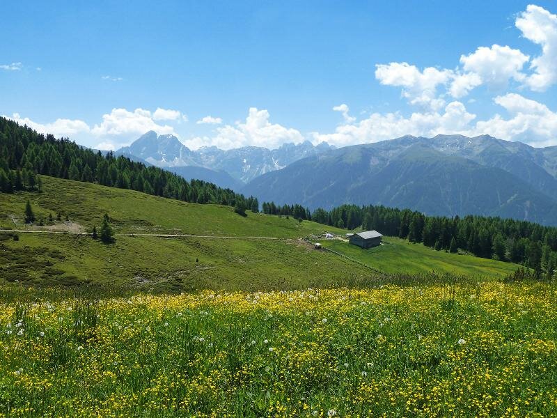
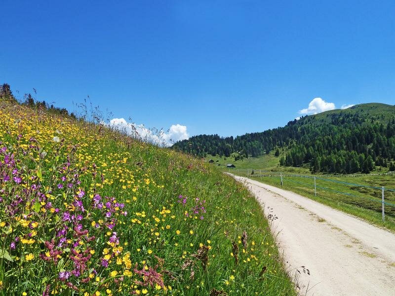
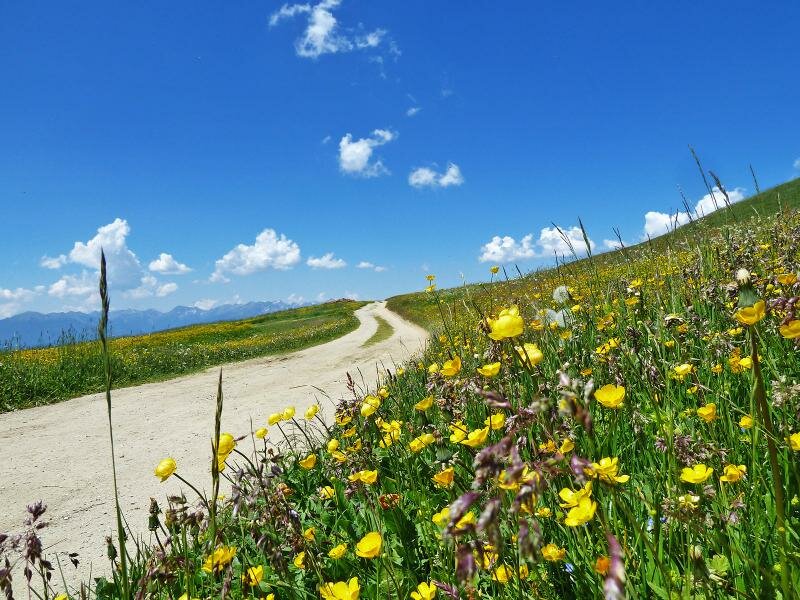
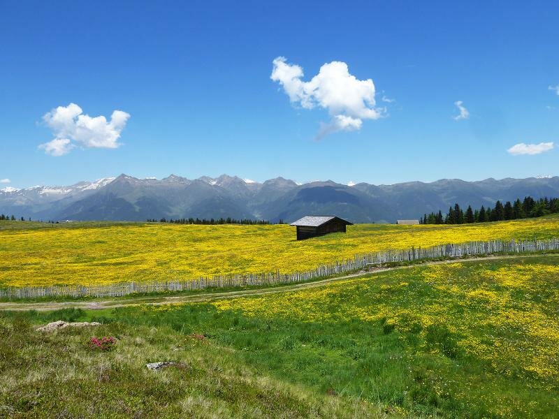
In June, the high plateau of Rodengo and Luson turns into a colourful sea of spring flowers
Image gallery: Rodengo Alpine Pasture hike
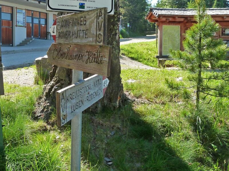
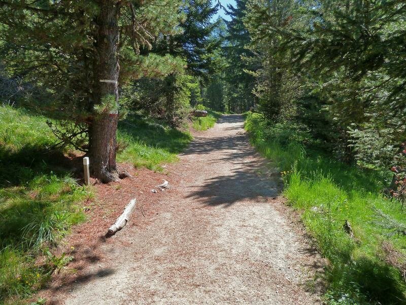
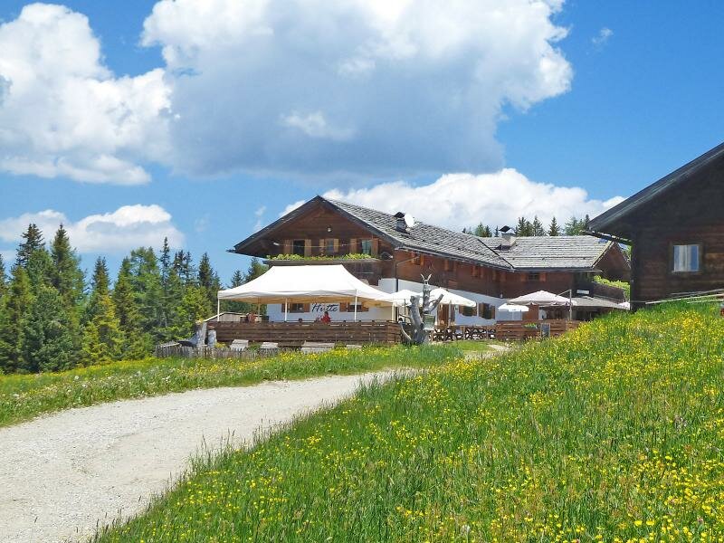
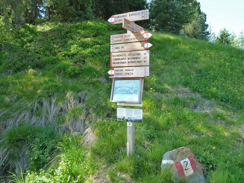
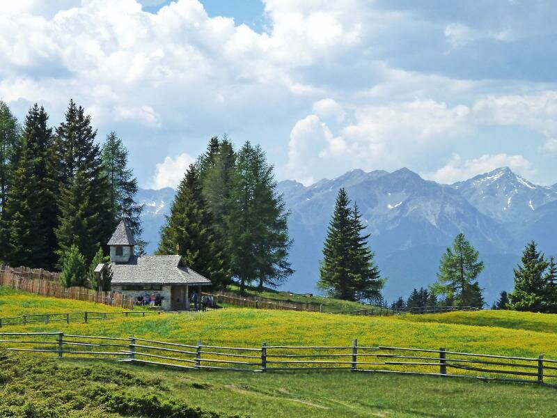
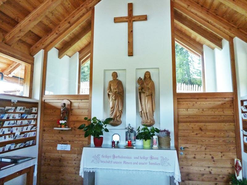
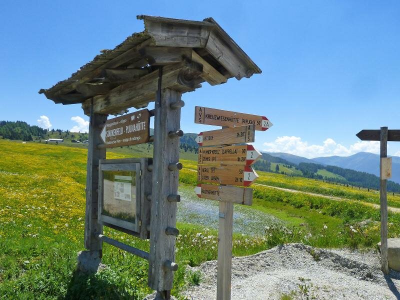
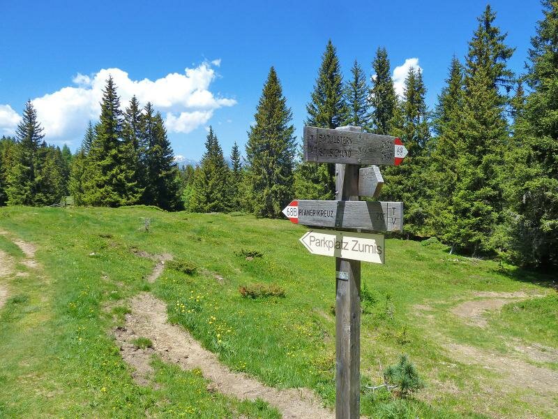
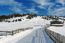
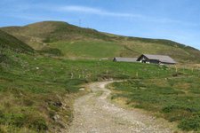
We drive along the mountain road from Rodengo to the Zumis car park, the starting point of our hike. We take the Confin path (signpost no. 4), a large path running across forests and mountain meadows. Having arrived at the Roner hut, we follow signpost no. 2 to the Pianer Kreuz chapel and the Starkenfeldhütte hut (or rif. Pluna).
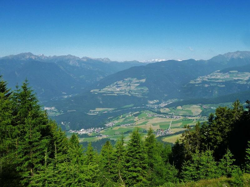
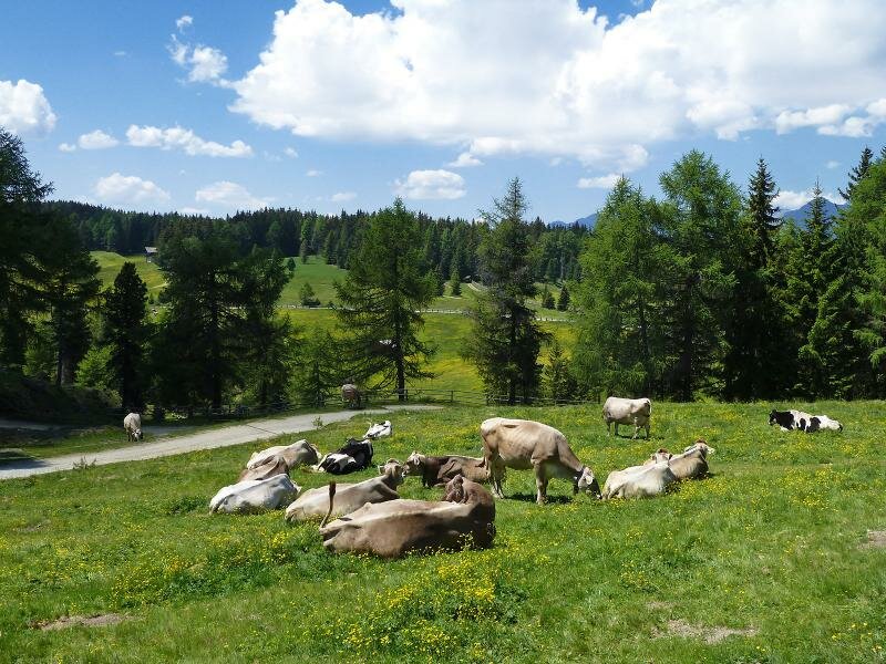
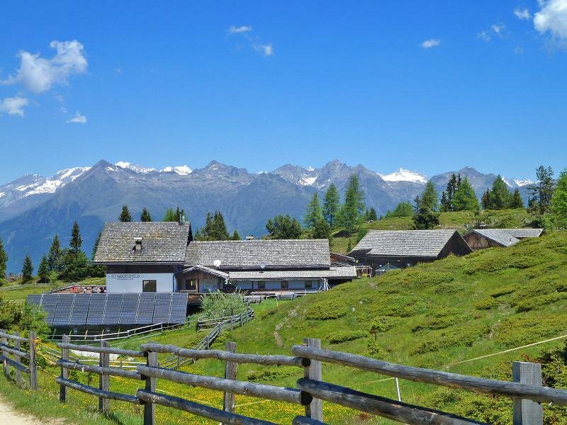
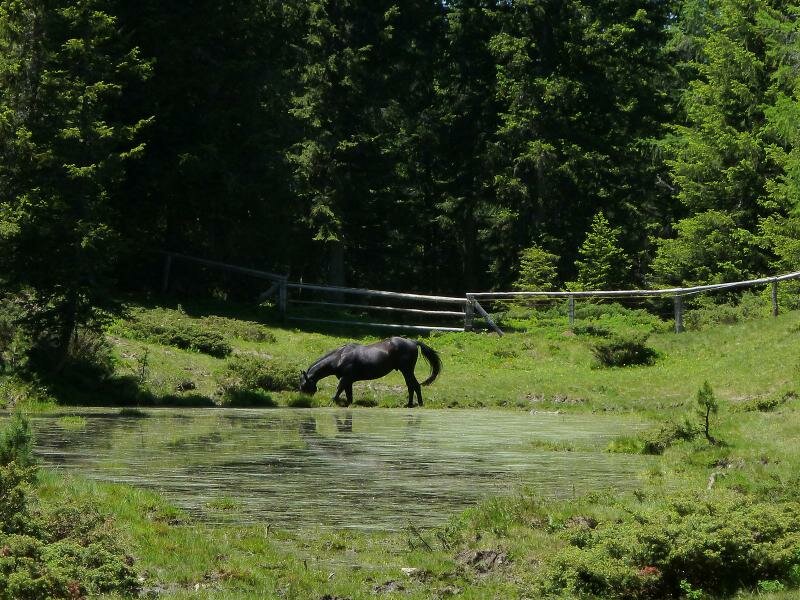
In June the mountain meadows turn into a stunningly beautiful sea of colourful flowers. On the horizon rise the peaks of the Dolomites in the south and those of the Zillertal Alps in the north. Those who would like to extend this hike can take path no. 67 to the Giogo d'Asta at 2,200 m a.s.l. (one hour of walking and 230 metres of difference in altitude from the Starkenfeld hut).
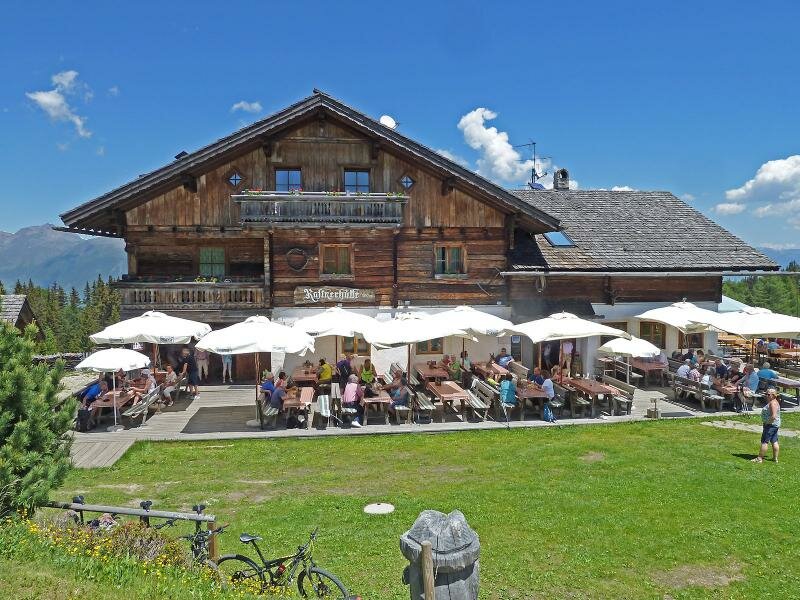
After a break at the hut we return to the valley. Initially, we follow path no. 68 to the Rastner hut and then path no. 68B which takes us to an uncontaminated part of the malga di Rodengo. We eventually return to the Zumis car park by walking past the Pianer Kreuz cross and the Roner hut.
Date of the hike: 24 June 2016
Last updated in: 2026
Author: AT
-
- Starting point:
- Zumis parking space (in summer also accessible by public bus)
-
- Overall time:
- 03:55 h
-
- Total route length:
- 13,9 km
-
- Altitude:
- from 1.726 m to 1.962 m
-
- Altitude difference (uphill | downhill):
- +277 m | -277 m
-
- Route:
- Zumis - Confin Path - Roner mountain hut - Pianer Cross - Starkenfeld hut - Rastner hut - Zumis
-
- Signposts:
- 4, 2, 67, 68 B, 2, 4
-
- Resting points:
- Roner-Hütte, Starkenfeld-Hütte, Rastner-Hütte mountain huts
-
- Recommended time of year:
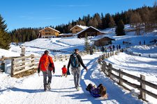
- Jan Feb Mar Apr May Jun Jul Aug Sep Oct Nov Dec
-
- Download GPX track:
- Rodengo Alpine Pasture hike
If you want to undertake this hike, we recommend you to check the weather and trail conditions in advance and on site before setting out.