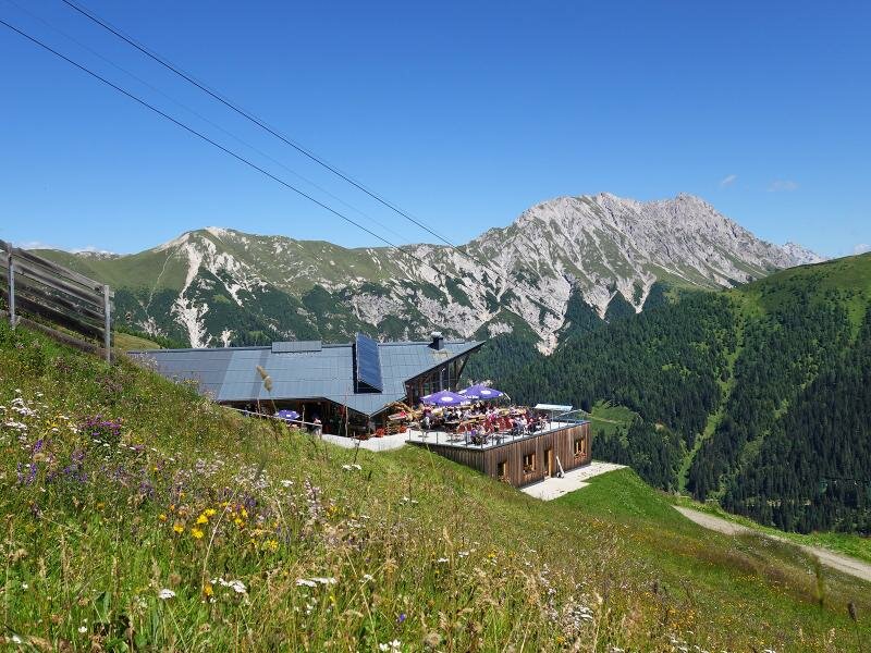
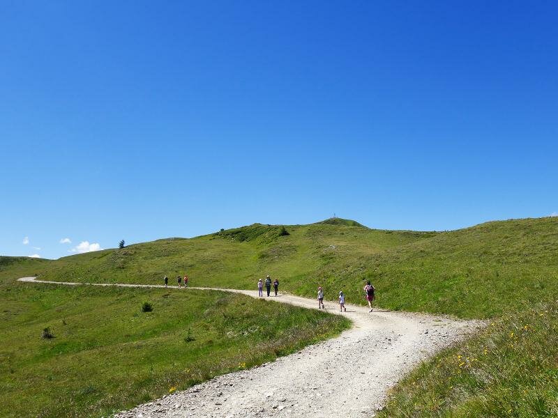
This easy, only 2.5-km long hike with 200 metres of difference in altitude starts at the mountains station of the cable car near malga Conny and takes us to the peak of the Golzentipp
Image gallery: Hike to the top of Mount Golzentipp
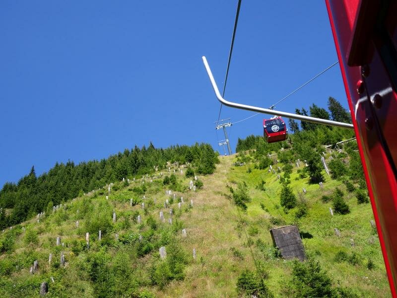
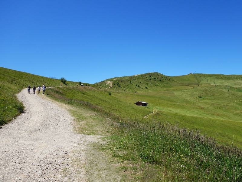
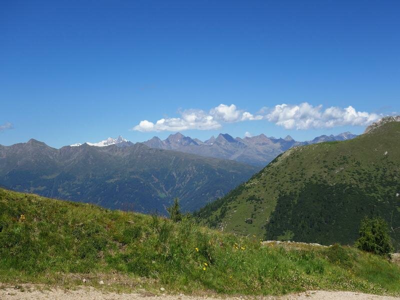
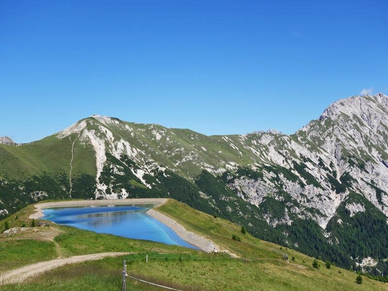
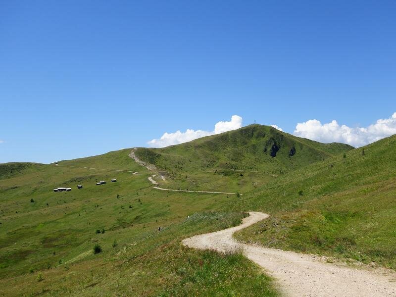
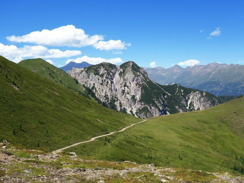
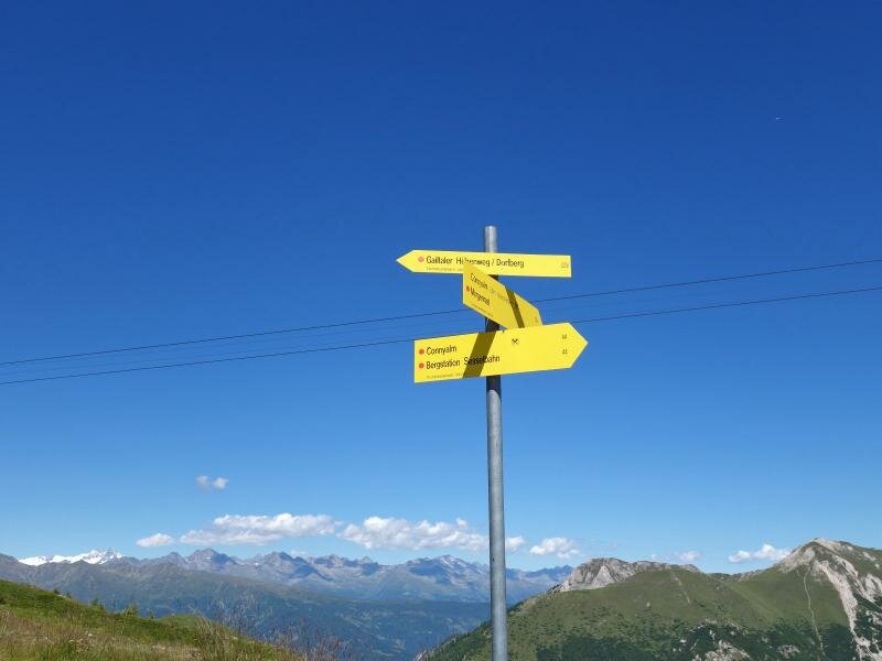
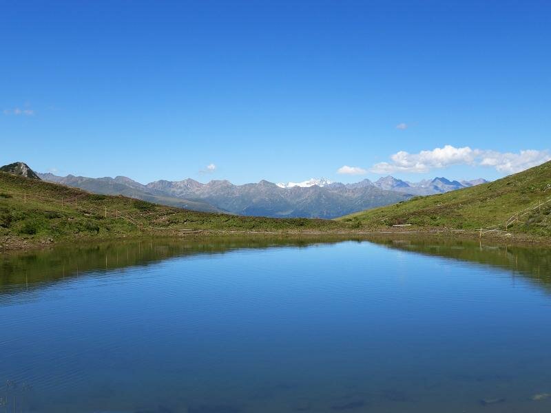
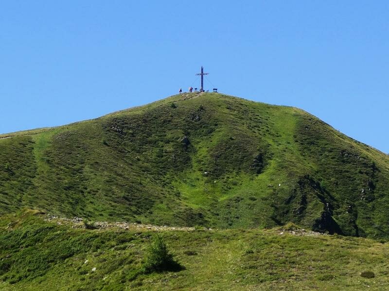
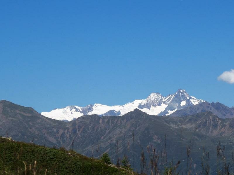
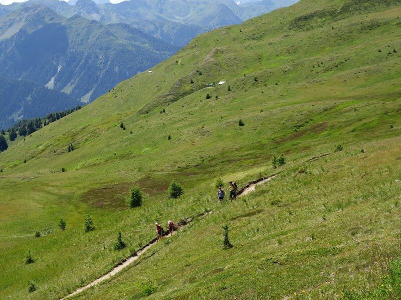
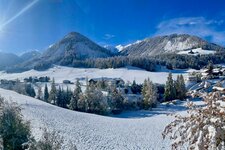
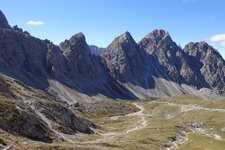
The cable car takes us from Obertilliach in the Gailtal valley to the mountain station near malga Conny at 2,095 m a.s.l. The gravel path no. 44B runs across mountain meadows to the Laba water reservoir and the Jochsee lake. Soon we arrive at the crossroads with the Gailtaler Höhenweg, a high-altitude path. From here, we only need to tackle a climb of 100 metres to the peak of the Golzentipp which delights us with impressive views of the Dolomites, the Grossglockner and the Alti Tauri.
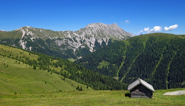
This very easy itinerary develops above the forest limit. Most hikers would classify it as a walk rather than a real hike in the mountains. However, the panoramic views you can enjoy during this trip are every bit as good as those of more challenging mountain tours. Those who would like to lengthen this hike can do so by covering part of the Gailtaler Höhenweg high-altitude path.
Date of the hike: 8 August 2016
Last updated in: 2026
Author: AT
-
- Starting point:
- Connyalm mountain hut (mountain station of the cable car)
-
- Overall time:
- 01:45 h
-
- Total route length:
- 6,0 km
-
- Altitude:
- from 2.098 m to 2.317 m
-
- Altitude difference (uphill | downhill):
- +272 m | -272 m
-
- Signposts:
- 44B, 44, Gailtaler Höhenweg, Golzentipp
-
- Destination:
- Golzentipp (summit)
-
- Resting points:
- Connyalm
-
- Recommended time of year:
- Jan Feb Mar Apr May Jun Jul Aug Sep Oct Nov Dec
-
- Download GPX track:
- Hike to the top of Mount Golzentipp
If you want to undertake this hike, we recommend you to check the weather and trail conditions in advance and on site before setting out.