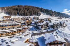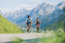
The first stage of the Stoneman Trail is 40 km long: we start from Dobbiaco (Toblach) and arrive at the Marchkinkele (2,526 m a.s.l.), from where we descend to Sillian
Image gallery: Stoneman Trail stage 1: Marchkinkele
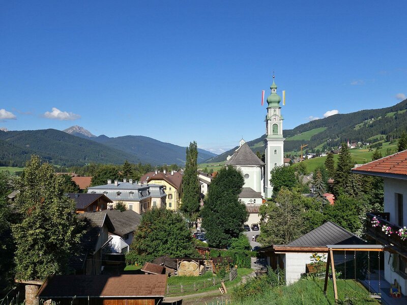
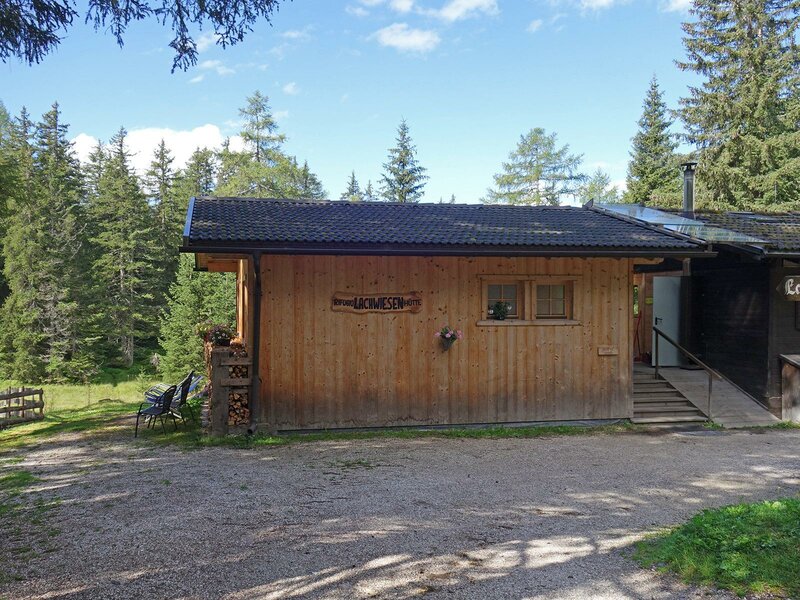
Our starting point is the village centre of Dobbiaco (1,240 m a.s.l.). We can choose between two different itineraries leading up to the Cornetto di Confine Marchkinkele: you can either cycle past Wahlen in the Valle San Silvestro valley or pass the mountain hut Rif. Lachwiesen. The two paths meet at the crossroads Bodeneck, from where a former military road starts. In this article we describe the low-trafficked route leading to the slightly higher rif. Lachwiesenhütte which ensures stunning views.
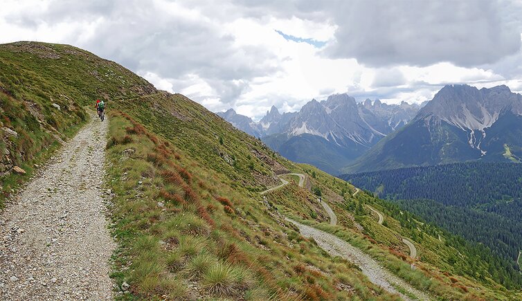
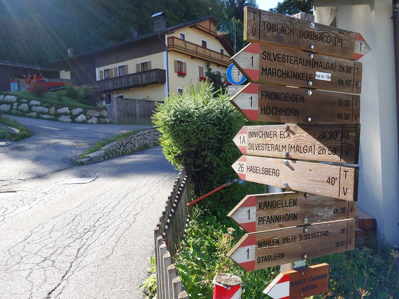
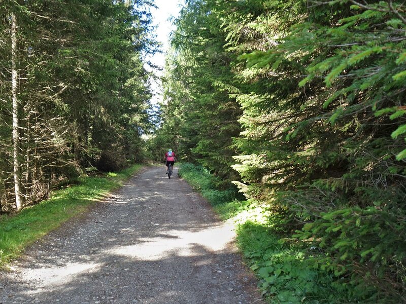
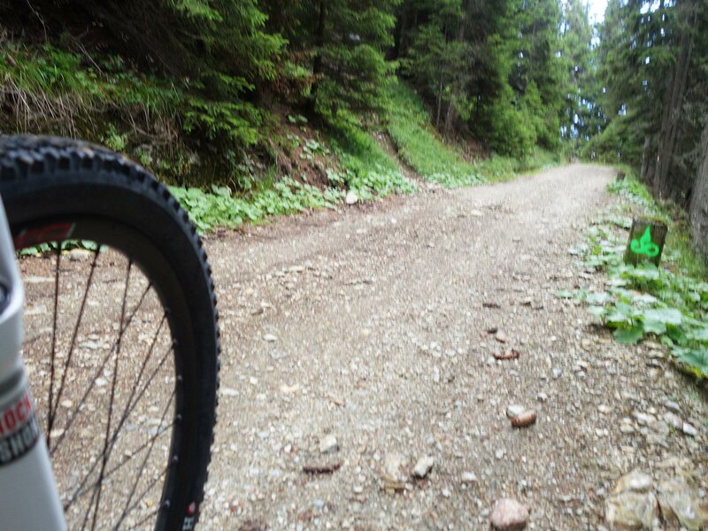
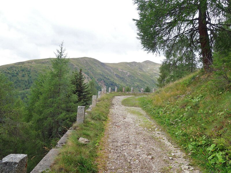
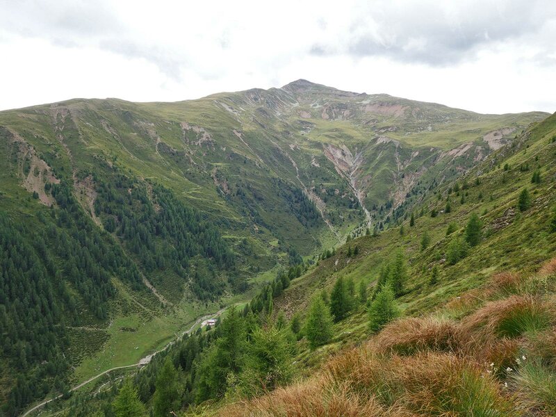
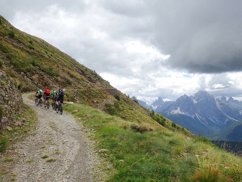
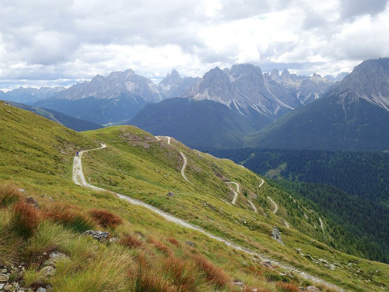
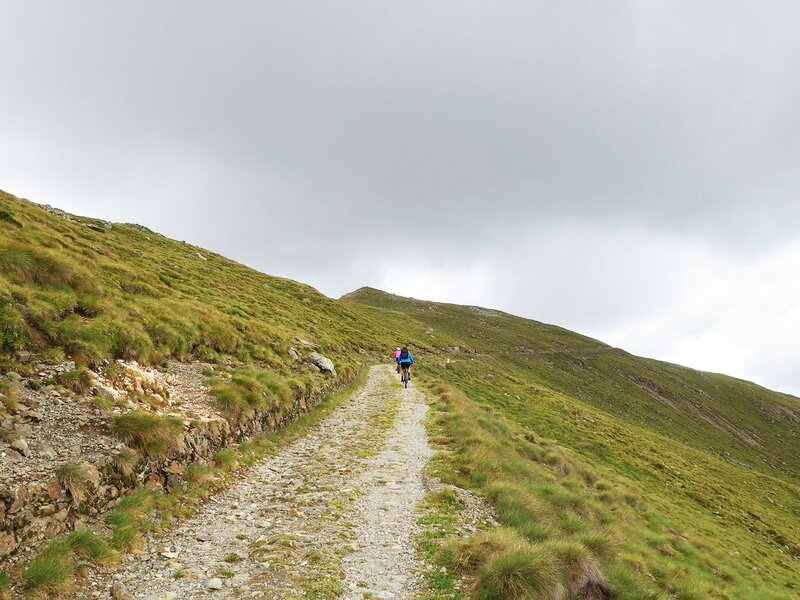
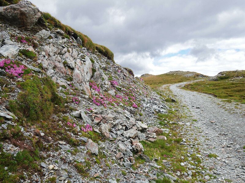
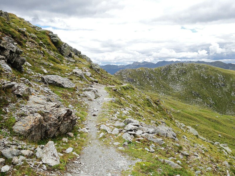
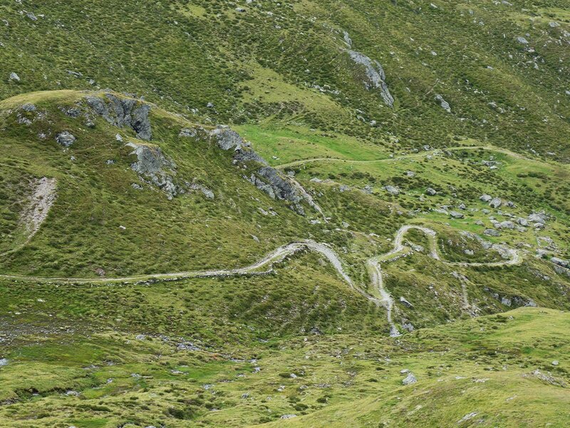
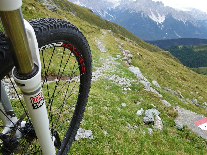
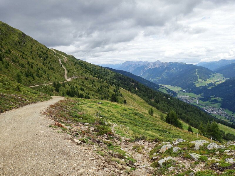
In Dobbiaco we ascend along the Haselsberg-Weg path northeast of the valley. Soon, we enjoy a fascinating view of the Alta Pusteria and the Sesto and Braies Dolomites. The asphalt path MTB-Route 024 ascends in hairpin bends across forests and meadows and past mountain farms to the Lachwiesen biotope and the eponymous mountain hut. The itinerary now turns into a forest path leading to the Innicher Eck (1,900 m a.s.l.) and then slightly descends to the Bodeneck at 1,809 m a.s.l. At the crossroads of forest paths near malga Silvesteralm, we take a former military road to the Marchkinkele and cover more than 600 metres of elevation gain. We gain altitude along an unpaved, well-maintained mountain road.
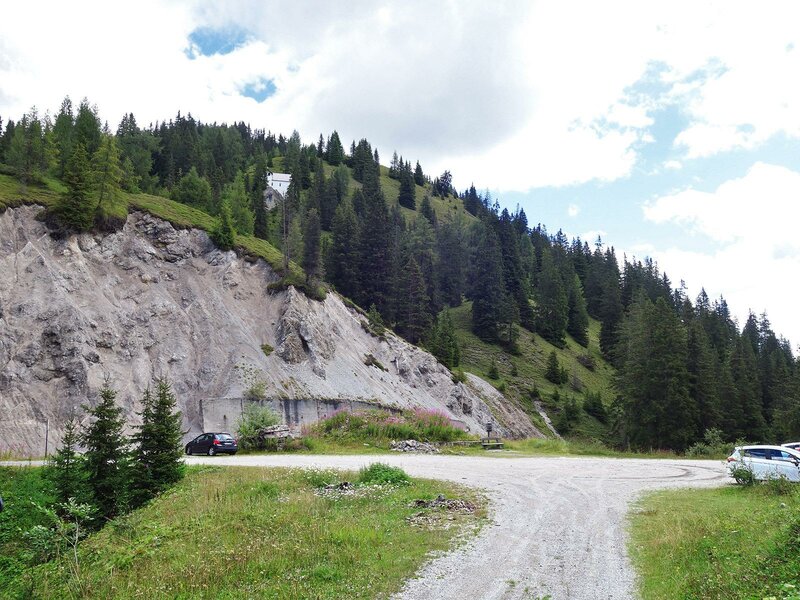
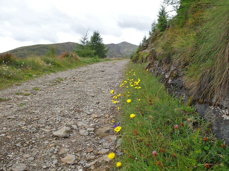
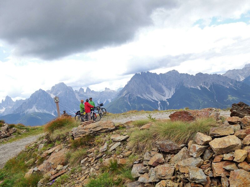
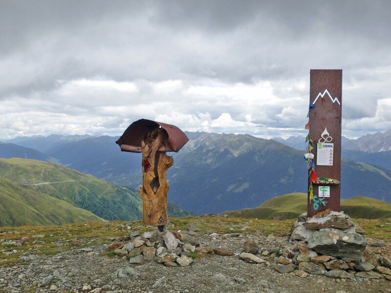
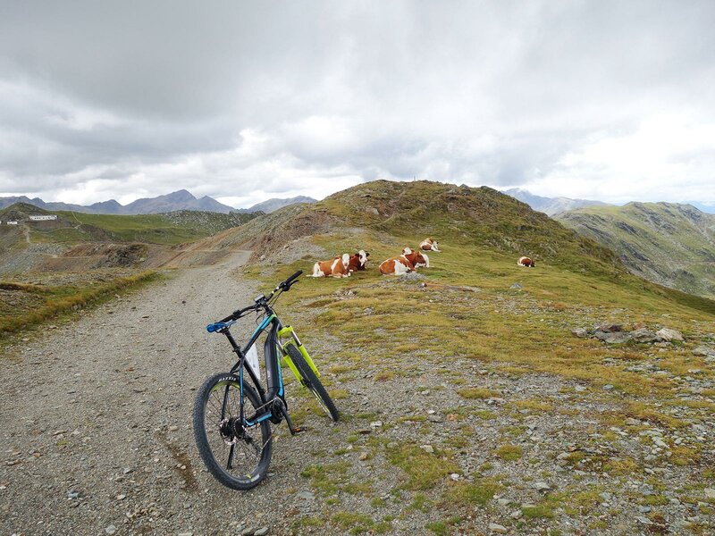
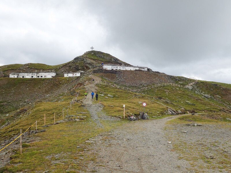
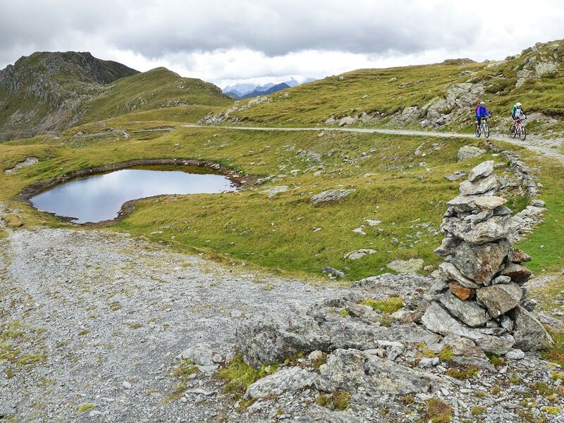
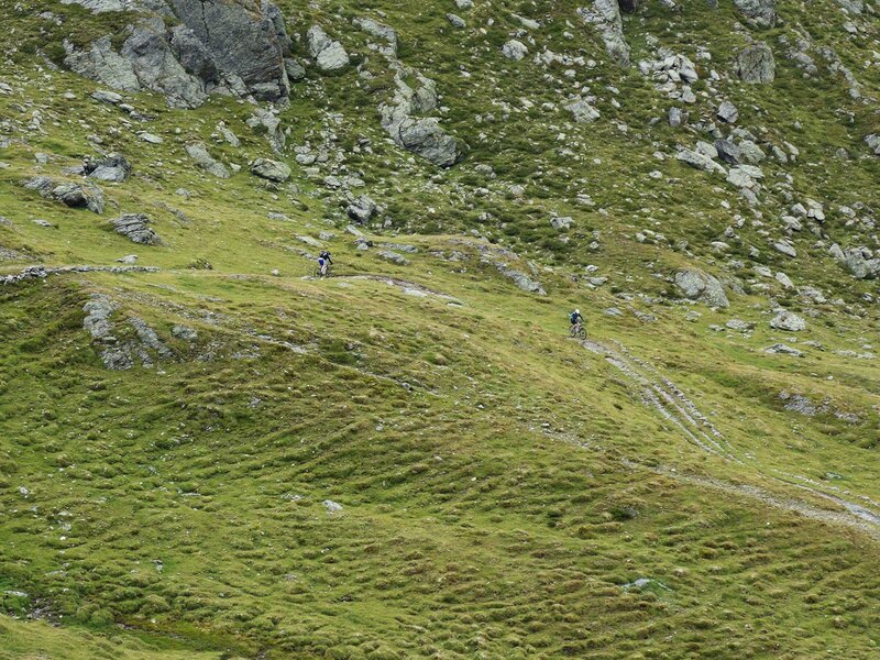
At the forest limit, the path exposed to the sun delights us with a wonderful view of the Dolomites. The military road first arrives at the Strickberg peak, then passes one of the Stoneman-checkpoints, before arriving at several, former border monuments at the peak of the Marchkinkele. Then, we continue at the foot of Mt Gumriaul until the Hochrast lakes. The military road ends here and we proceed along the Singletrail no. 3. 200 metres lower, this path meets the forest road no. 3A which takes us to the East Tyrolean border before descending to the mountain farms and to Arnbach (Austria) in hairpin bends. In the valley, the road joins the Drava cycle path, which we follow for 4 km to Sillian (Austria), the final destination of this stage.
Date of the MTB tour: 15 August 2018
Last updated in: 2016
Author: AT
-
- Starting point:
- Dobbiaco
-
- Overall time:
- 04:30 h
-
- Total route length:
- 40,4 km
-
- Altitude:
- from 1.081 m to 2.526 m
-
- Altitude difference (uphill | downhill):
- +1381 m | -1540 m
-
- Route:
- Dobbiaco - Innichner Eck - Marchkinkele - Arnbach - Sillian
-
- Signposts:
- Stoneman Trail (Logo)
-
- Destination:
- Sillian
-
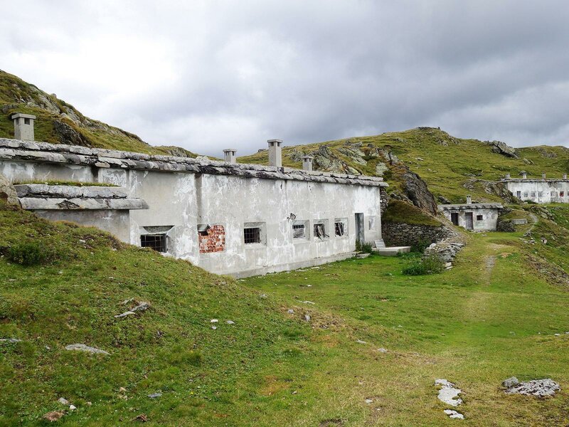
- Resting points:
- Lachwiesen Alm, Marchhütte mountain hut
-
- Track surface:
- 62% gravel road, 4% single trail, 34% asphalt
-
- Recommended time of year:
- Jan Feb Mar Apr May Jun Jul Aug Sep Oct Nov Dec
-
- Download GPX track:
- Stoneman Trail stage 1: Marchkinkele
If you want to do this tour, we suggest you to check the weather and trail conditions in advance and on site before setting out.