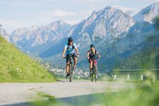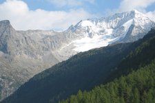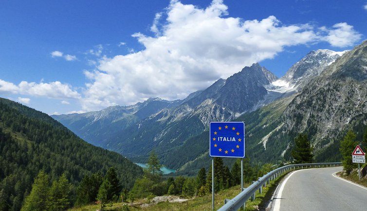
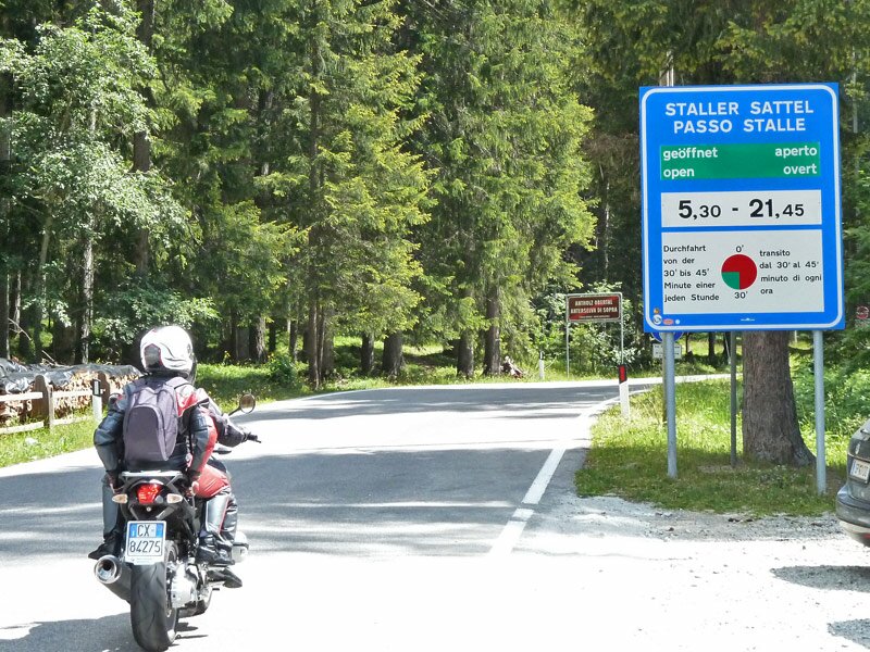
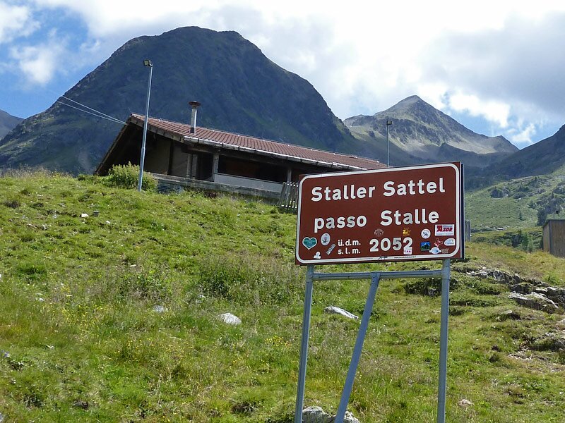
The 2,052 m high Passo Stalle is the highest point of this demanding cycling tour between Italy and Austria
Image gallery: Passo Stalle round tour
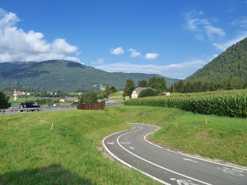
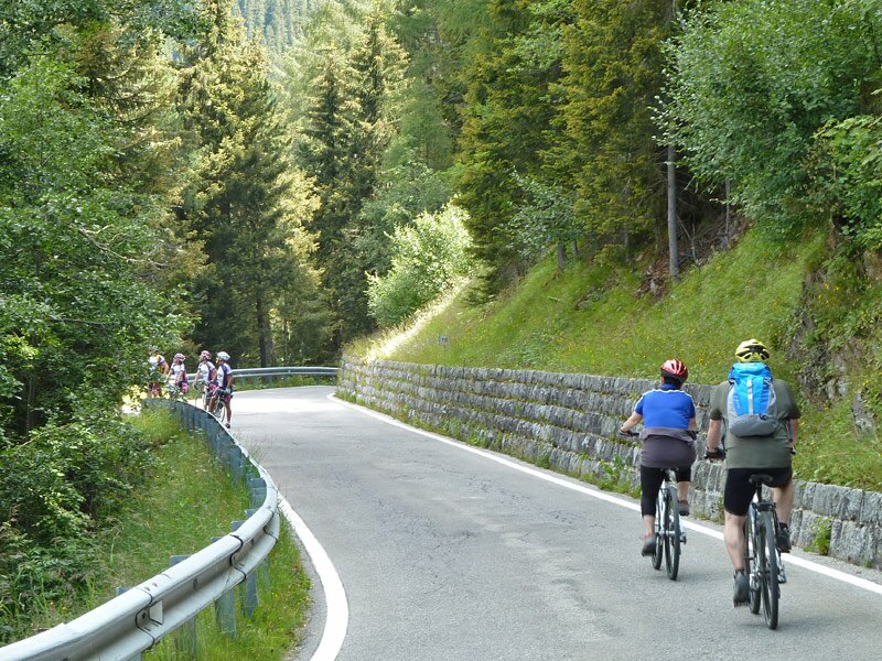
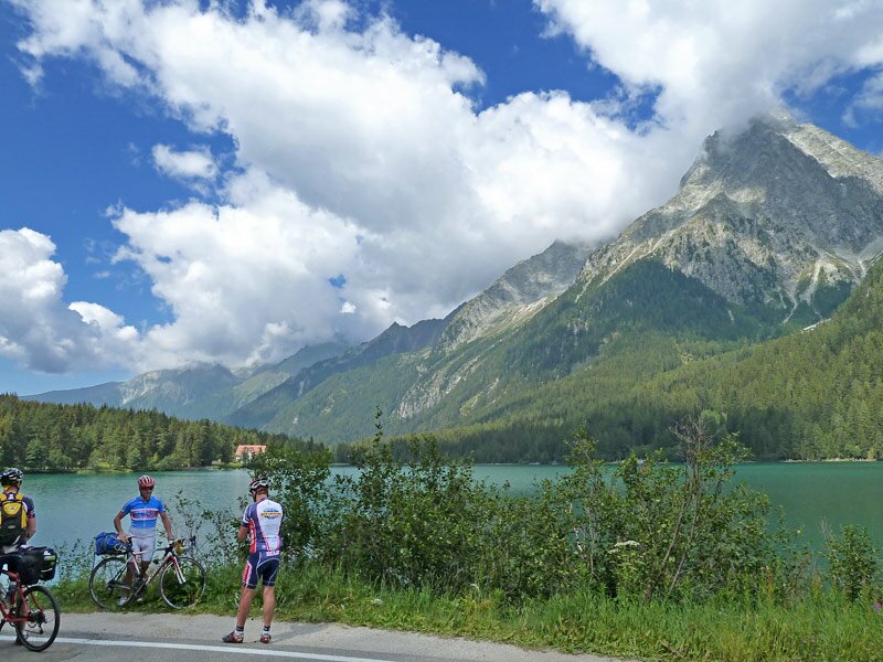
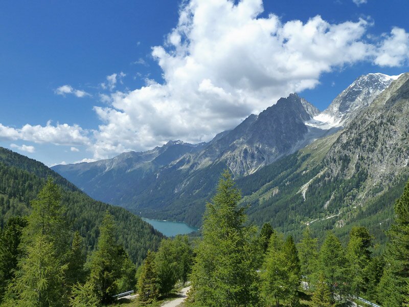
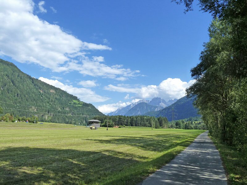

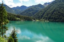
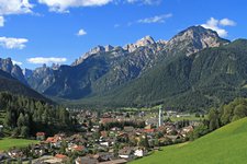
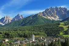
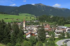
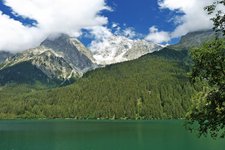
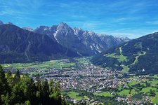
We start early in the morning in San Candido (1,176 m a.s.l.). It is quite cool and the morning haze slowly disappears. Initially, we take the Pusterbike cycle path to Valdaora. Here, we take the road into the Valle di Anterselva and near Rasun di Sotto we continue along the unpaved cycle path which ascends to Anterselva di Sotto. From there, we take several roads to Anterselva di Mezzo where the state road to the passo Stalle starts. Shortly after the biathlon centre of Anterselva at 1,642 m a.s.l., the landscape is characterised by coniferous forests and the peaks of the Vedrette di Ries group are reflected in the impressive Lake Anterselva at 1,642 m s.l.m.
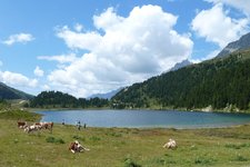
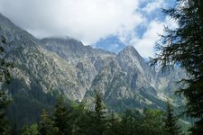
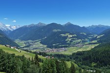
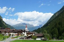
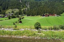
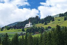
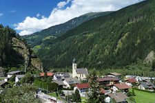
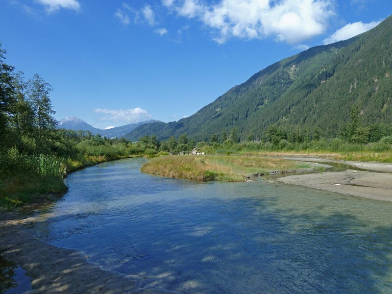
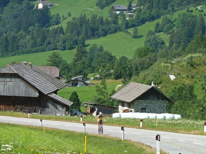
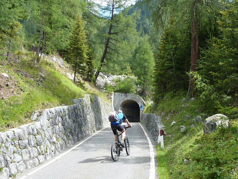
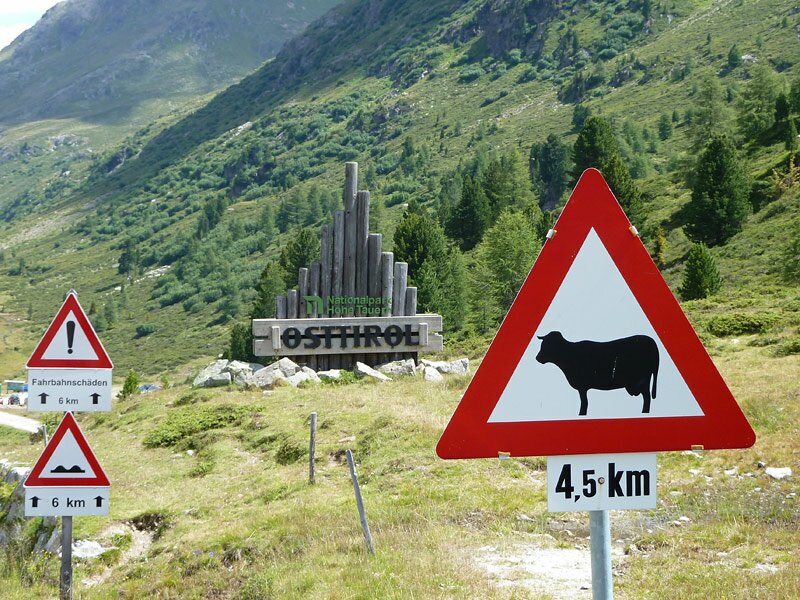
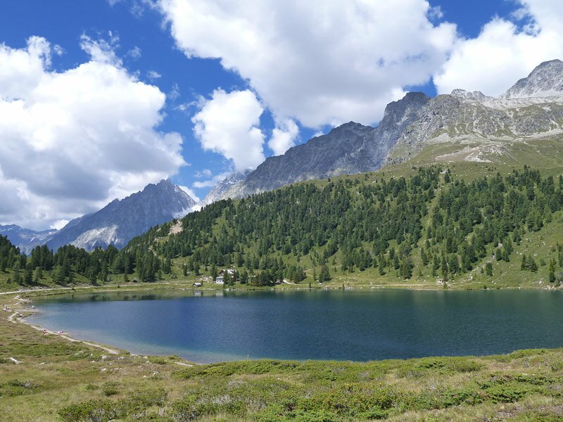
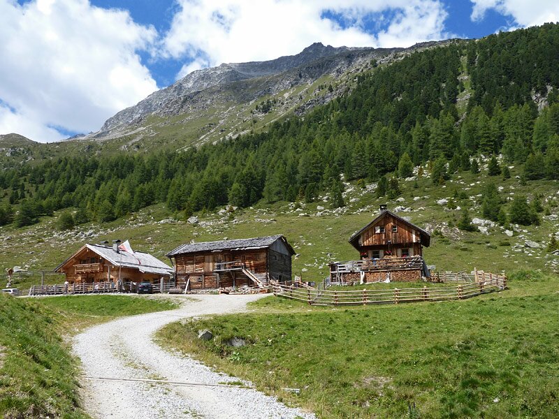
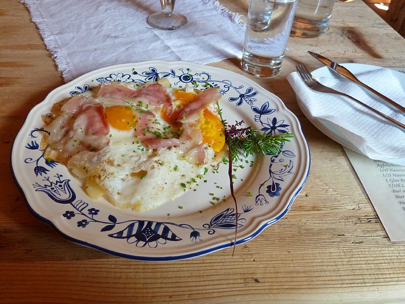
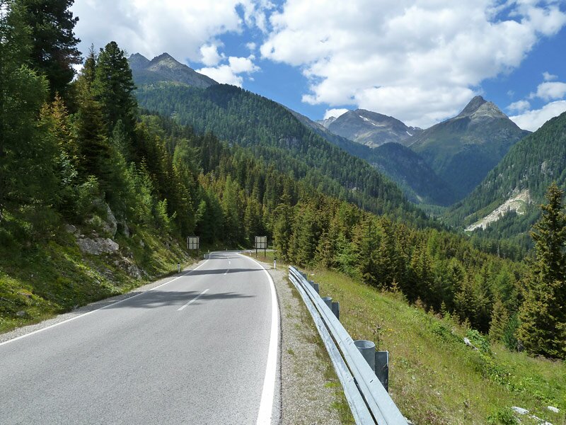
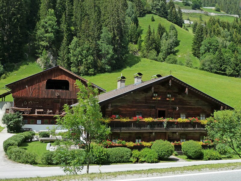
The very steep climb up to the pass starts right here. The narrow road up to the pass can be covered by vehicles only in certain time intervals. We ascend along the hairpin bends and the view gets better and better. At the passo Stalle lies the border between Italy and Austria. The road now leads past Lake Obersee (2,016 m a.s.l.) across alpine meadows. As it is already lunchtime, we stop at the Staller Alm hut for a delicious lunch. Cycling downhill with a full stomach is more fun. After our lunch we tackle the very long descent to the villages of the Defereggental, where we see the typical wooden houses of this area, embedded in an enchanting natural landscape.
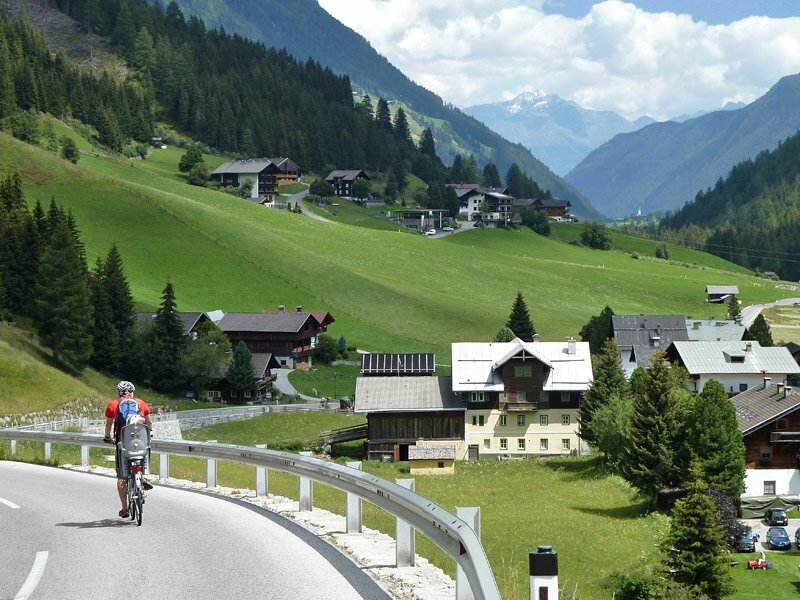
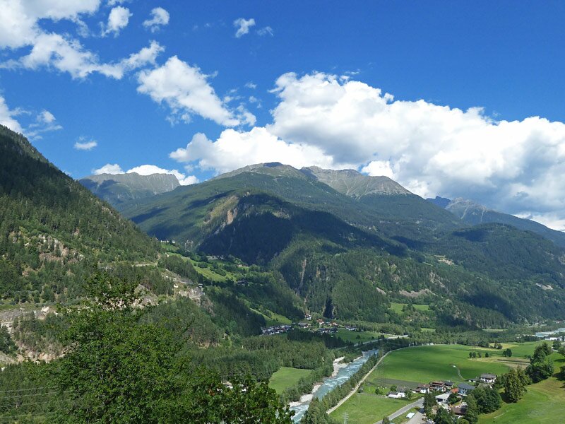
We enter the Iseltal valley near Huben in Osttirol, where we take the cycle path to Lienz in East Tyrol. This marvellous Austrian city is definitely worth visiting. Unfortunately, we don't have much time now as we need to return to San Candido. We take the OEBB train with designated areas for bikes back to San Candido.
Although this tour is classified as moderately difficult, its length (100 km) should not be underestimated!
Date of the hike: 2 August 2011
Last update in: 2026
Author: AT
-
- Starting point:
- San Candido
-
- Overall time:
- 07:00 h
-
- Total route length:
- 102,5 km
-
- Altitude:
- from 674 m to 2.051 m
-
- Altitude difference (uphill | downhill):
- +1092 m | -1598 m
-
- Route:
- San Candido - Rasun - Passo Stalle - Defereggen - Huben - Lienz
-
- Destination:
- Lienz
-
- Recommended time of year:
- Jan Feb Mar Apr May Jun Jul Aug Sep Oct Nov Dec
-
- Download GPX track:
- Passo Stalle round tour
We highly recommend checking the weather and trail conditions in advance and on site before starting this tour.