The 2,507 m high Piz da Peres opposite Mt Plan de Corones in the Braies Dolomites offers great panoramic views
Image gallery: Mountain tour to the Piz da Peres
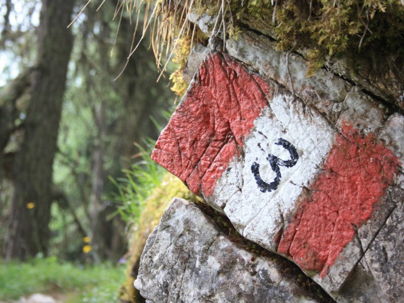
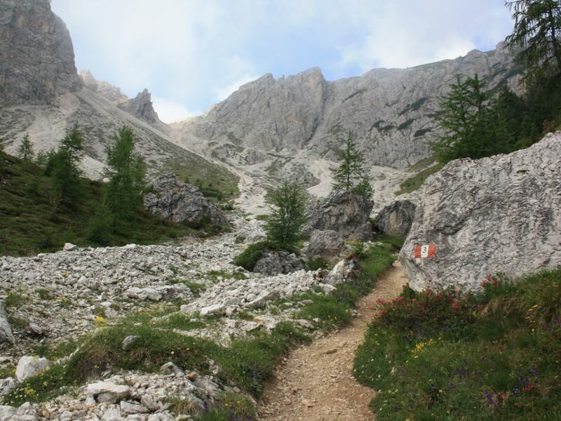

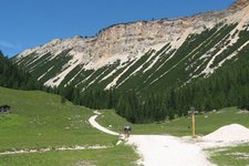
This mountain tour offers very beautiful views of Mt Plan de Corones and the entire Fanes-Senes-Braies Nature Park. Starting at the reservoir lake at Passo Furcia (1,758 m a.s.l.), we follow the road for some metres until we branch off to the left, following trail n° 3 in the direction of Mt Piz da Peres, a wide forest road leading us towards east. On a narrower trail we hike steeply upwards through the forest until we reach a gravel pit, from where we follow trail n° 3 leading along the foot of the northern slopes of Mt Piz da Peres. This trail is partly narrow but very well maintained.
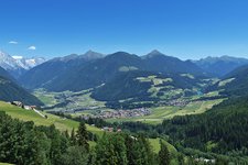
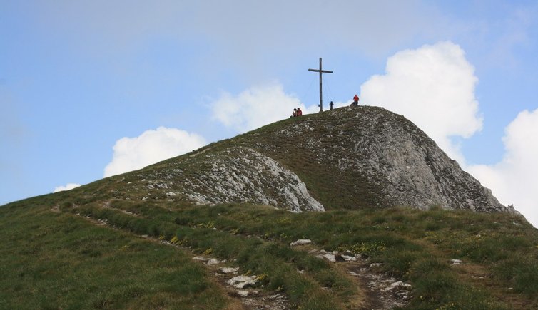
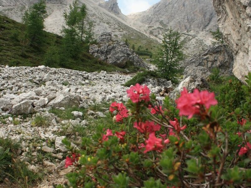
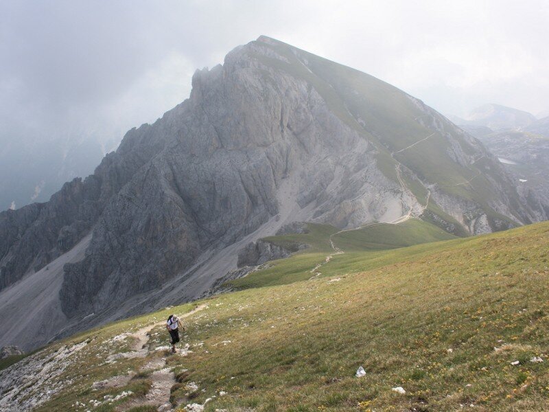
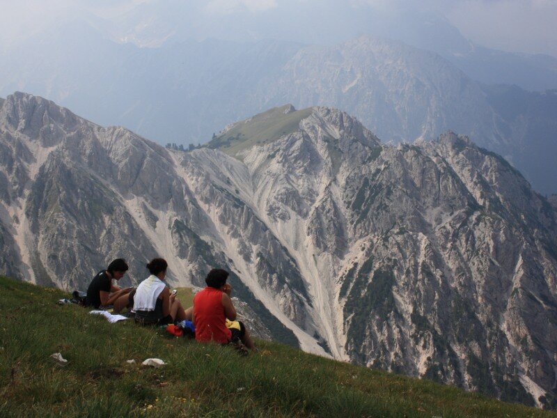
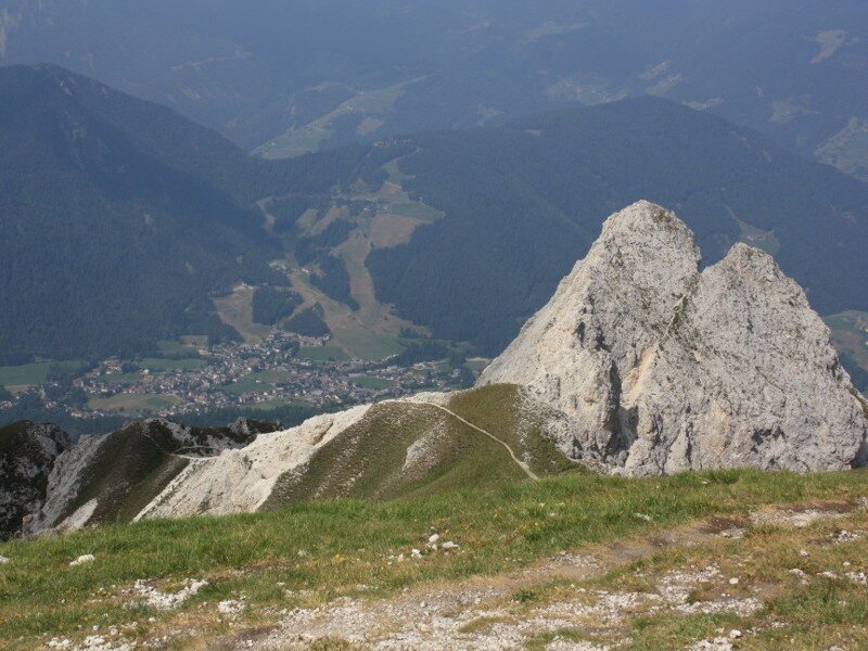
Getting closer and closer to the north-east foot of Piz da Peres, we hike through a sparsely-wooded coniferous forest and follow the trail which leads us in the direction of the mountain saddle between Mt Piz da Peres (2,507 m) and Mt Cima Tre Dita (2,479 m). On many serpentines we hike steeply upwards through a scree slope, which can be slippery and difficult to pass after heavy rains or in case of snow. We highly recommend hiking boots and hiking poles! Arrived at the Forcella Tre Dita saddle we enjoy a wonderful view of the Senes highland and the Braies Dolomites. Branching off to the right we follow trail n° 12 across beautiful meadow slopes and finally arrive at the peak cross after about half an hour. From here, we admire the ski mountain Plan de Corones in the north, the Dolomites and Mt Cima Tre Dita in the east, and San Vigilio di Marebbe in the south-west.
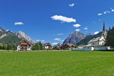
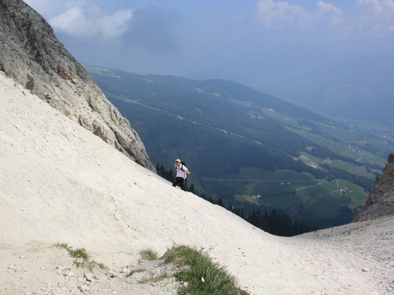
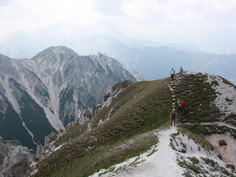
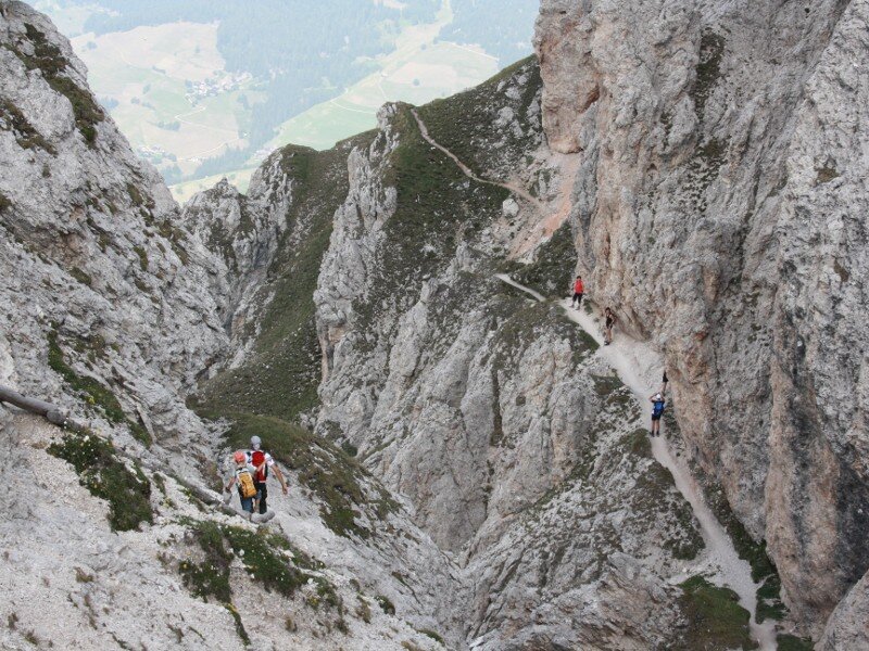
The descent is very exciting, too, and requires a good physical condition. Trail n° 12, which presents some steep rock stairs and is slightly exposed at some sections, leads us along impressive rock walls in the direction of San Vigilio di Marebbe. Reached the so-called "Wetterkreuz", a wooden cross, we turn right into trail n° 12B, which leads us to the Ücia Picio Pre ski lift. From here, we hike through the forest back to Passo Furcia.
Please note: this is a very varied hiking tour leaving nothing to be desired - an interesting ascent through the forest and a scree slope, meadow slopes, a breathtaking 360 degrees mountain panorama at the peak and an interesting descent through cliffy rocks. This hiking tour is of medium difficulty, a good physical condition and some mountain experience are recommended! If you want, you can also climb the neighbouring Mt Cima Tre Dita. This mountain tour to Mt Piz da Peres can also be done in the other direction. However, the ascent from the west side is more exhausting.
Author: BS
-
- Starting point:
- Passo Furcia, reachable from San Vigilio di Marebbe or Valdaora
-
- Overall time:
- 04:30 h
-
- Total route length:
- 7,3 km
-
- Altitude:
- from 1.758 m to 2.506 m
-
- Altitude difference:
- +793 m | -793 m
-
- Route:
- Passo Furcia - Forcella Tre Dita saddle - Mt Piz da Peres - "Wetterkreuz" cross - Ücia Picio Prè - Passo Furcia
-
- Signposts:
- 3, 12, 12B
-
- Destination:
- Piz da Peres
-
- Resting points:
- Ücia Picio Prè
-
- Recommended time of year:
- Jan Feb Mar Apr May Jun Jul Aug Sep Oct Nov Dec
-
- Download GPX track:
- Mountain tour to the Piz da Peres
If you want to do this hike, we suggest you to check the weather and trail conditions in advance and on site before setting out.