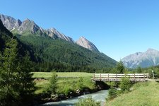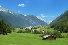
Excursion into the Fundres Mountains: This hike leads from the Fane Alm car park up to the steep high alpine meadows at the transition between Ribigenspitz and Tschiffernaun mountains
Image gallery: To Malga Tschiffernaun and Forcella del Monte Sasso
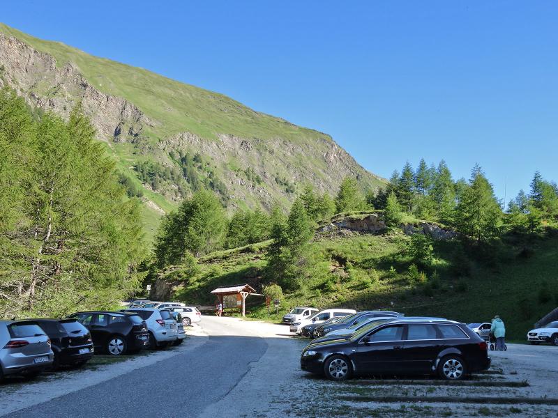
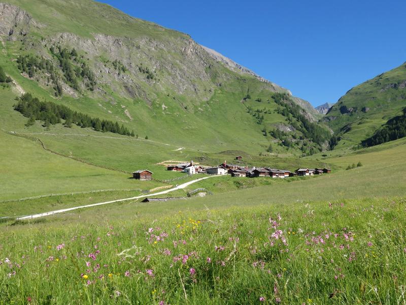
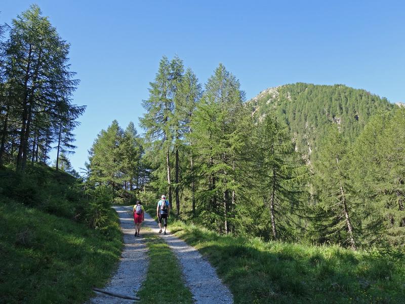
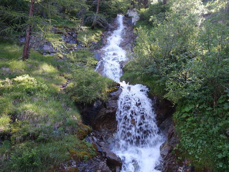
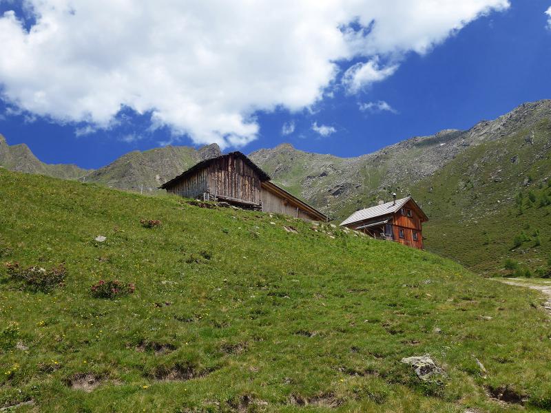
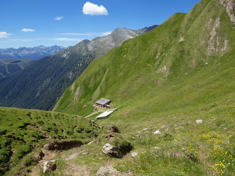
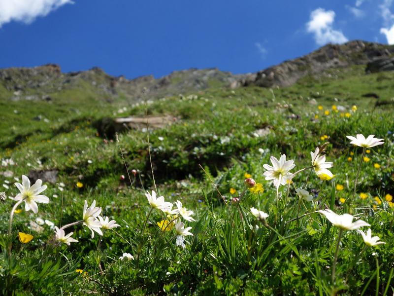
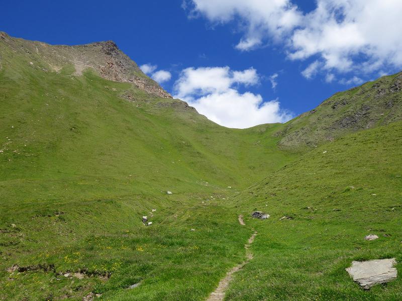
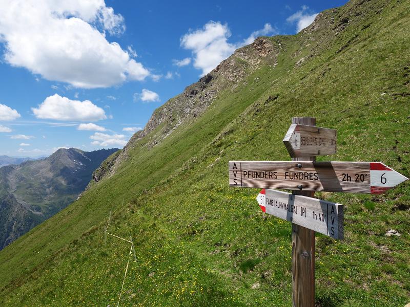
The starting point of this mountain hike in the Gischberg-Jochtal area is the car park of the Fane Alpine Village (Fane Alm), which can be reached from the village of Valles via a narrow mountain road. At first we follow path no. 17 for a short time towards the Fane Alm, but soon the alpine road branches off to the right to the Malga Tschiffernaun mountain hut. This alpine road is a more comfortable alternative to the steep hiking trail 15A. It takes about 90 minutes to walk up the 500 m altitude difference to the Malga Tschiffernaun. At the beginning the landscape is dominated by woods and we pass some small waterfalls. Later, at the Malga Stin, the forest gives way to extensive alpine meadows.
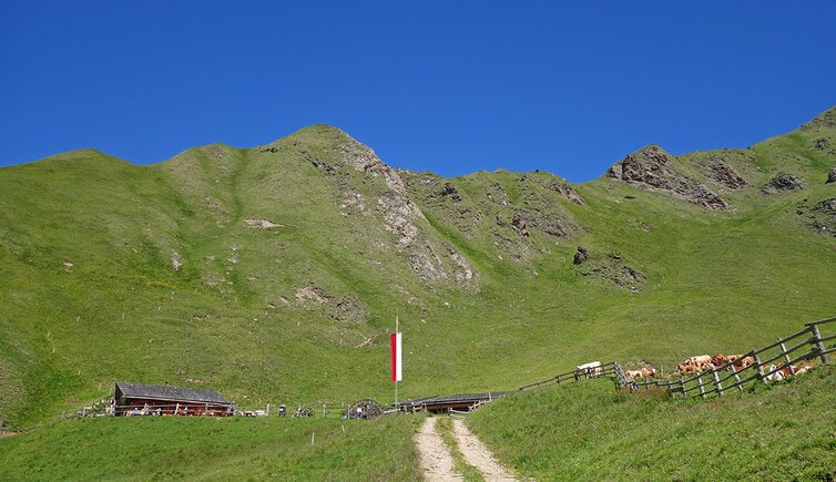
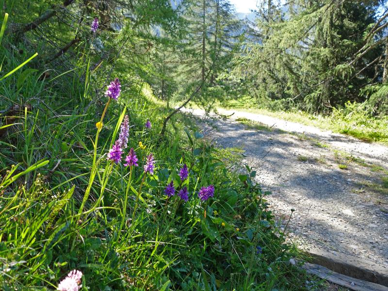
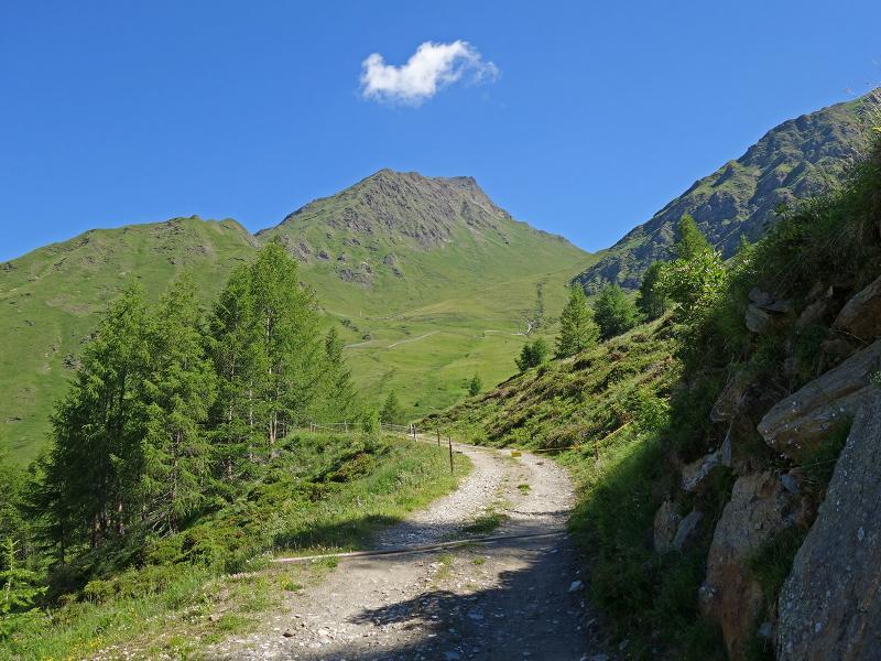
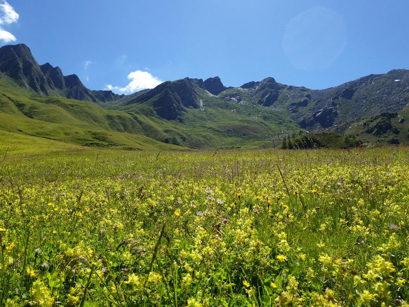
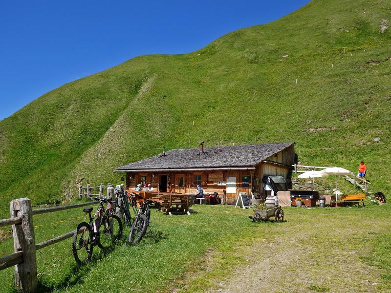
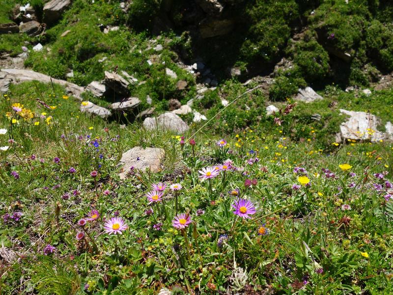
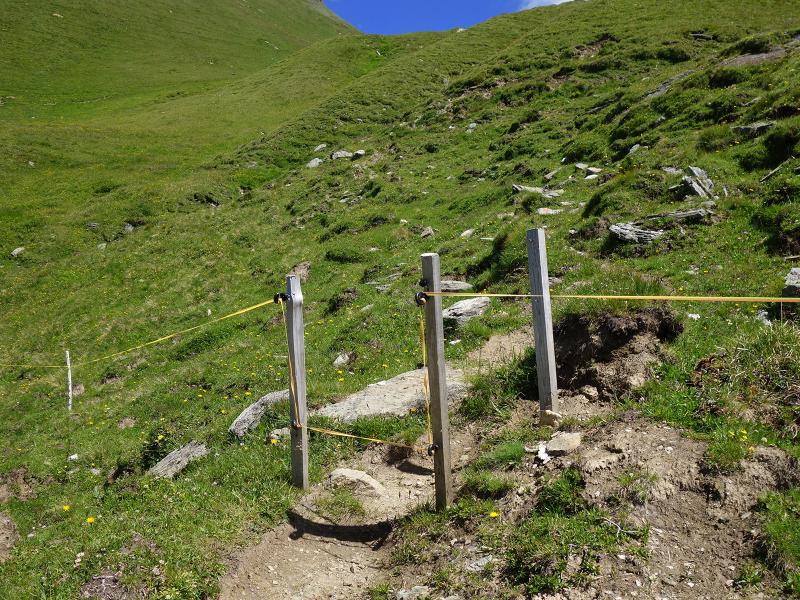
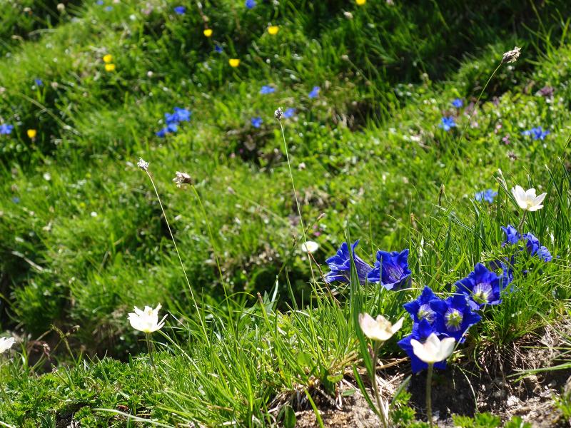
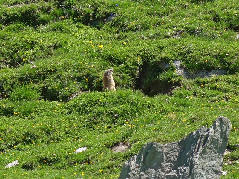
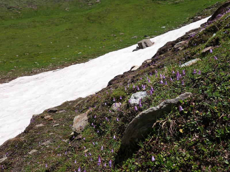
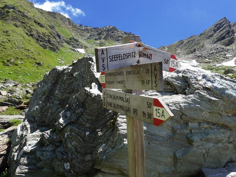
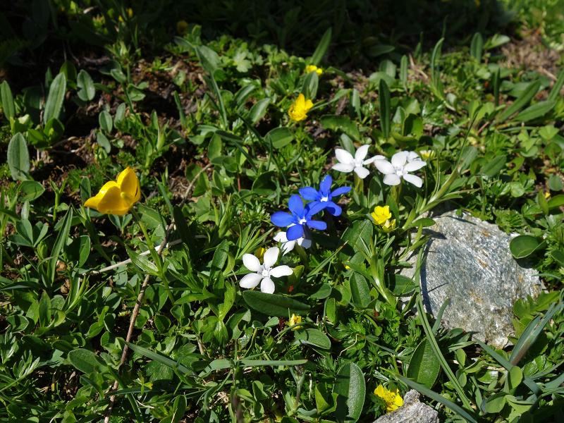
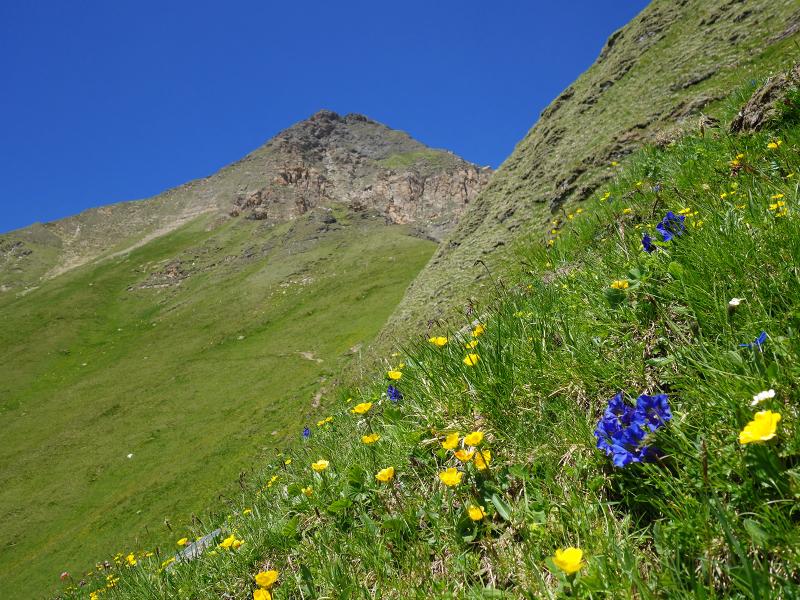
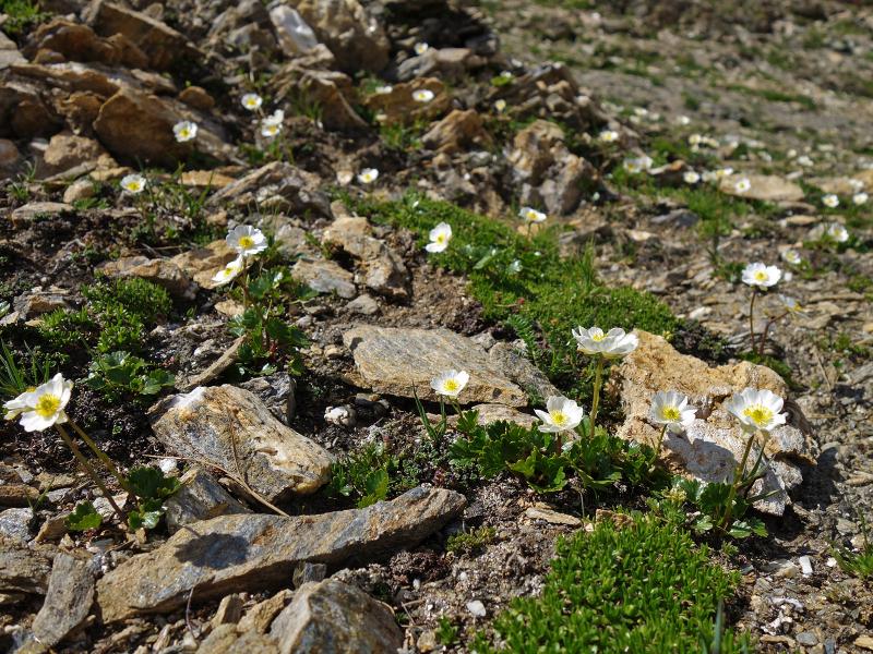
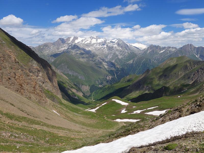
At the small Tschiffernaun Alm mountain hut (2,240 m a.s.l.) we have our lunch break and enjoy a delicious meal. Here we also decide to climb the 350 m altitude difference further up to the Forcella del Monte Sasso (Steinbergscharte). This is the transition to the Steinalm Valley, a side valley of the Val di Fundres. It separates the approx. 2,700 m high mountains Tschiffernaun and Cima della Siromba (Seefeldspitz) from the almost 3,000 m high Ribigenspitz. On the steep path to the saddle we experience a magnificent natural landscape. In the species-rich flora, which is in full bloom in early summer, we also observe birds of prey and marmots. The view from the Steinbergscharte, which reaches up to the highest peaks of the Zillertal Alps (Hochfeiler and Nachbarspitzen) is also impressive. To return to the starting point, we recommend the same route.
Author: AT
-
- Starting point:
- Valles, car park "Fane Alm"
-
- Overall time:
- 04:10 h
-
- Total route length:
- 10,9 km
-
- Altitude:
- from 1.721 m to 2.573 m
-
- Altitude difference:
- +891 m | -891 m
-
- Route:
- Fane Alm (P) - Malga Stinalm - Malga Tschiffernaun Alm - Forcella del Monte Sasso
-
- Signposts:
- 17, 15A (or Almstraße Tschiffernaun), 15C
-
- Destination:
- Forcella del Monte Sasso / Steinbergscharte
-
- Resting points:
- Tschiffernaun Alm mountain hut
-
- Recommended time of year:
- Jan Feb Mar Apr May Jun Jul Aug Sep Oct Nov Dec
-
- Download GPX track:
- To Malga Tschiffernaun and Forcella del Monte Sasso
If you want to do this hike, we suggest you to check the weather and trail conditions in advance and on site before setting out.